Hamilton County is a county located in the U.S. state of Iowa. As of the 2020 census, the population was 15,039. The county seat is Webster City. The county was named to honor William W. Hamilton, a President of the Iowa State Senate.
| Name: | Hamilton County |
|---|---|
| FIPS code: | 19-079 |
| State: | Iowa |
| Founded: | 1856 |
| Seat: | Webster City |
| Largest city: | Webster City |
| Total Area: | 578 sq mi (1,500 km²) |
| Land Area: | 577 sq mi (1,490 km²) |
| Total Population: | 15,039 |
| Population Density: | 26/sq mi (10/km²) |
| Time zone: | UTC−6 (Central) |
| Summer Time Zone (DST): | UTC−5 (CDT) |
| Website: | www.hamiltoncounty.iowa.gov |
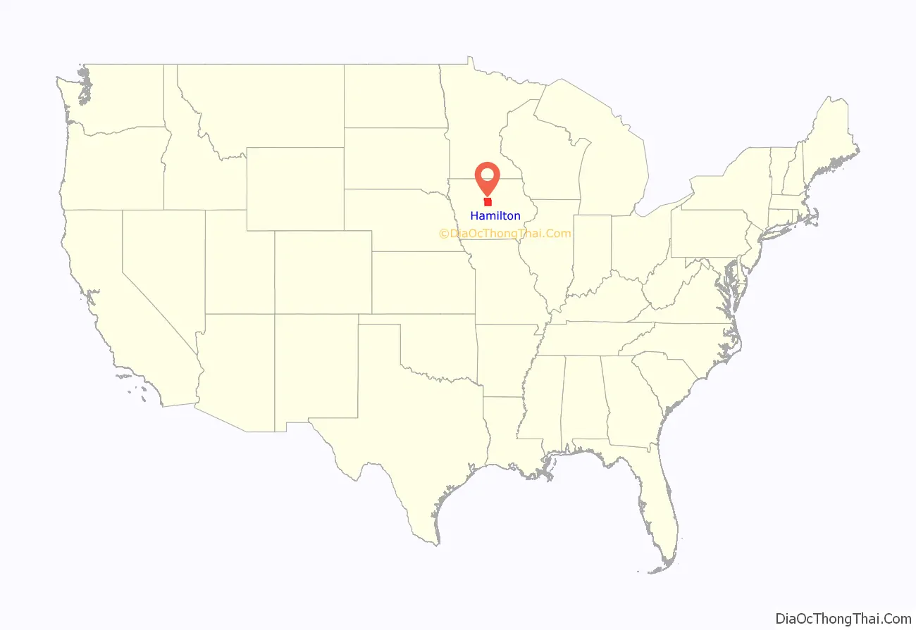
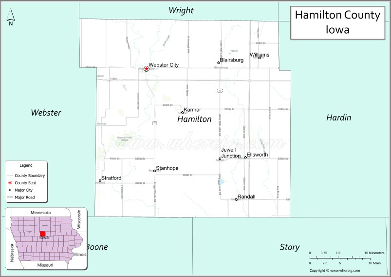
Hamilton County location map. Where is Hamilton County?
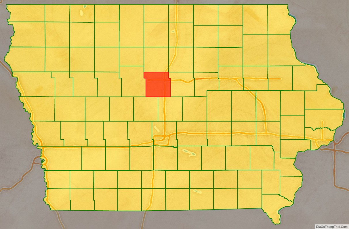
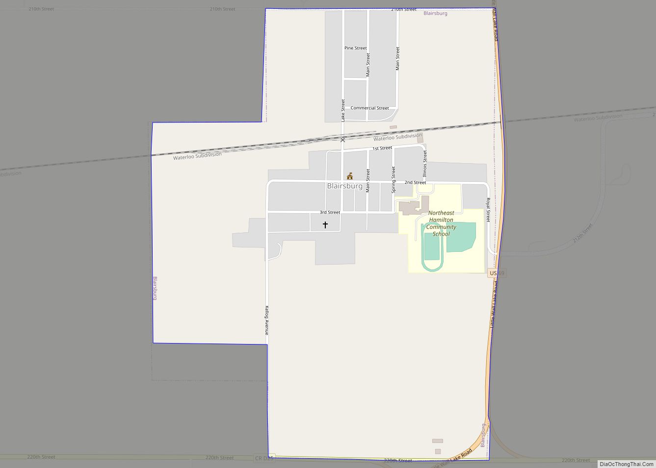
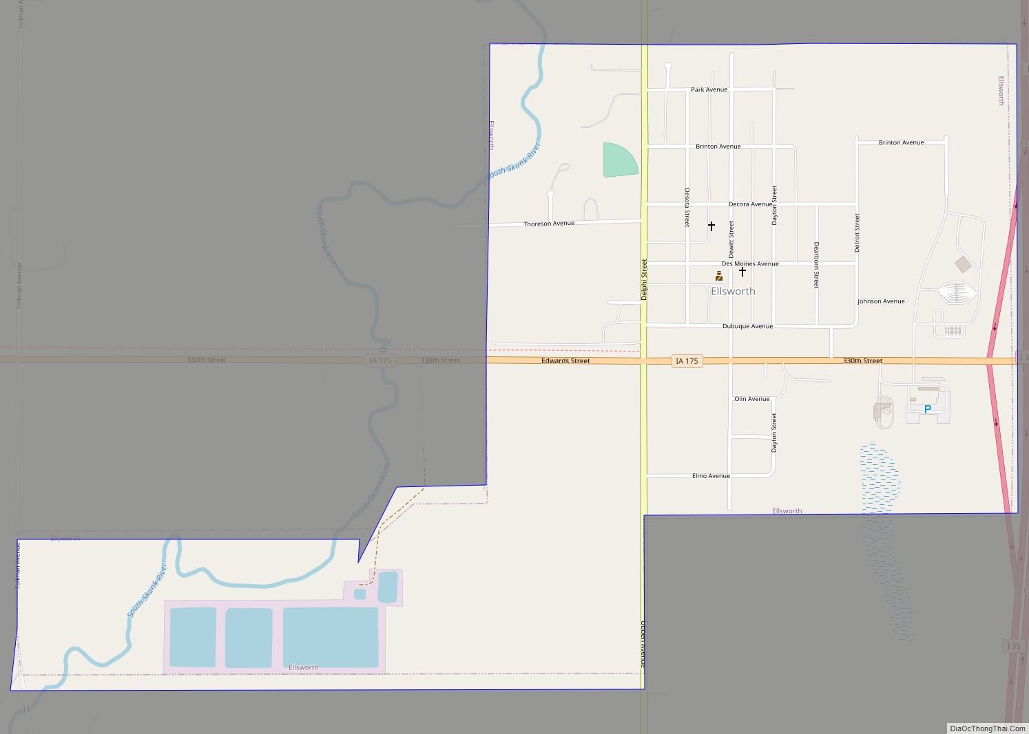
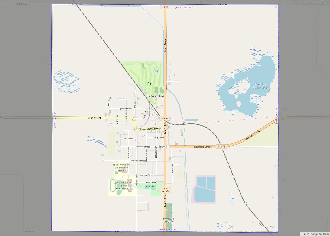
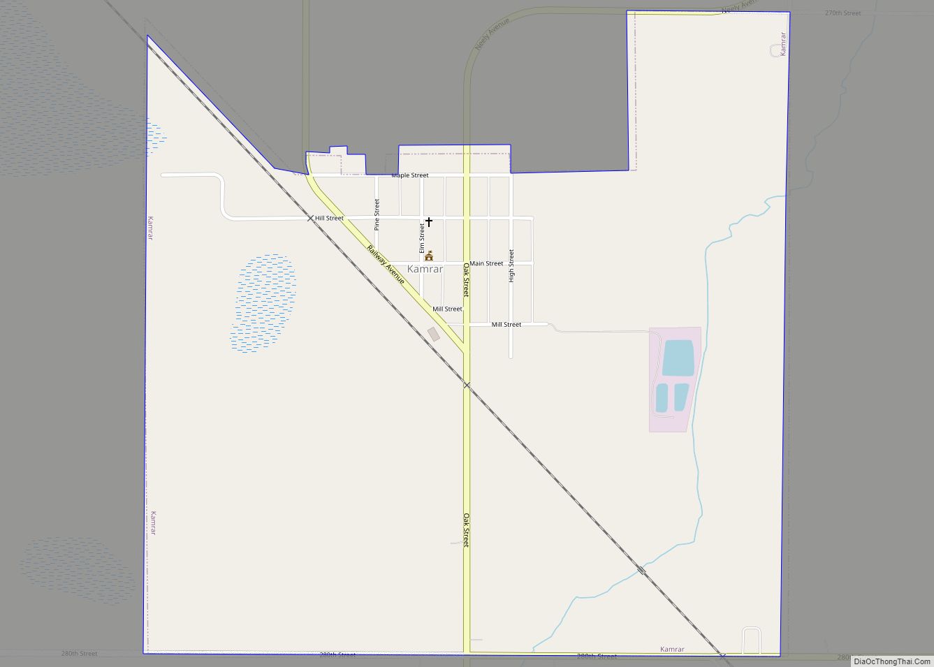
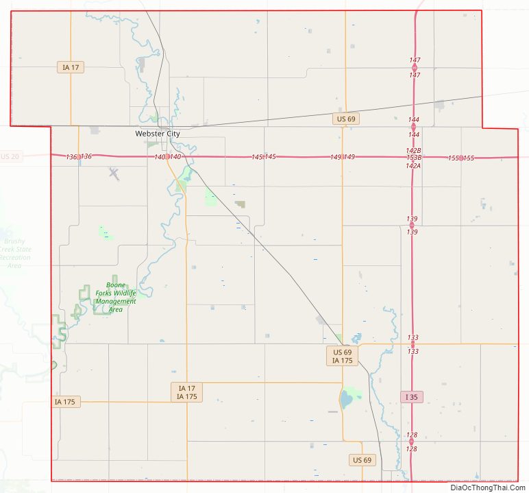
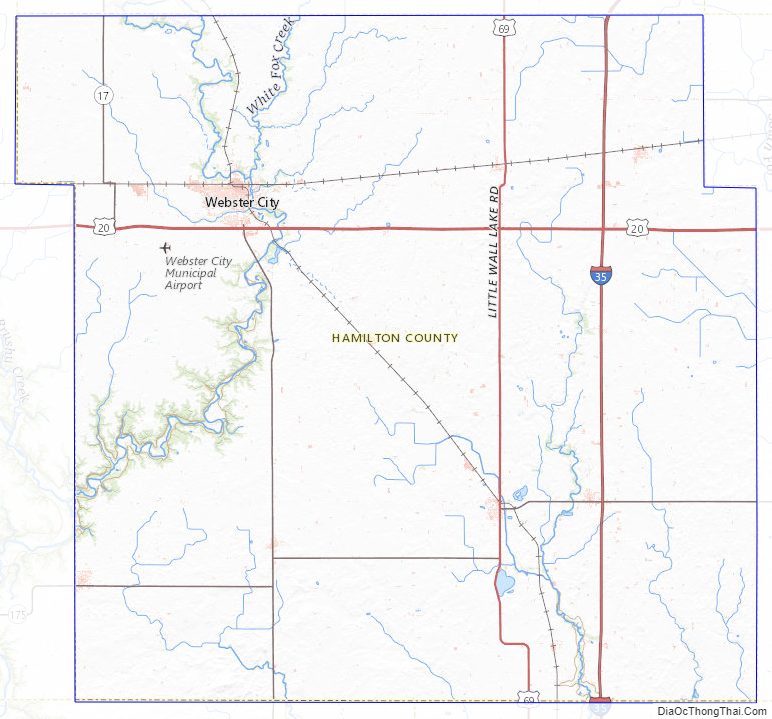
Hamilton County Road Map
Geography
According to the U.S. Census Bureau, the county has a total area of 578 square miles (1,500 km), of which 577 square miles (1,490 km) is land and 0.8 square miles (2.1 km) (0.1%) is water. The largest body of water is Little Wall Lake.
Major highways
- Interstate 35
- U.S. Highway 20
- U.S. Highway 69
- Iowa Highway 17
- Iowa Highway 175
Transit
- List of intercity bus stops in Iowa
Adjacent counties
- Wright County (north)
- Hardin County (east)
- Story County (southeast)
- Boone County (southwest)
- Webster County (west)
Hamilton County Topographic Map
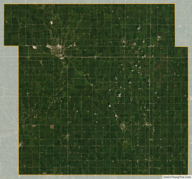
Hamilton County Satellite Map
Hamilton County Outline Map