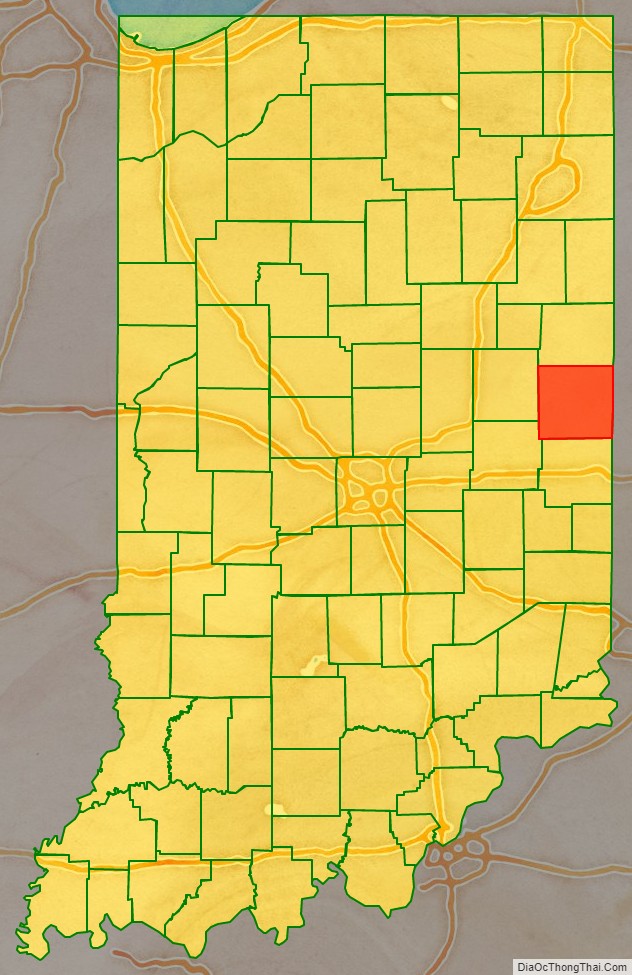
Randolph County is a county located in the central section of U.S. state of Indiana, on its eastern border with Ohio. As of 2010, the population was 26,171. The county seat is Winchester.
| Name: | Randolph County |
|---|---|
| FIPS code: | 18-135 |
| State: | Indiana |
| Founded: | 1818 |
| Named for: | Peyton Randolph |
| Seat: | Winchester |
| Largest city: | Winchester |
| Total Area: | 453.31 sq mi (1,174.1 km²) |
| Land Area: | 452.38 sq mi (1,171.7 km²) |
| Total Population: | 24,502 |
| Population Density: | 57.8/sq mi (22.31/km²) |
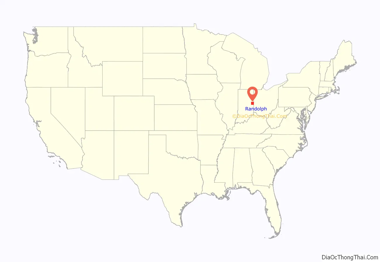
Randolph County location map. Where is Randolph County?
History
The Indiana General Assembly authorized the formation of Randolph County from Wayne County in January 1818, to take effect in August 1818. The county was almost certainly named for Randolph County, North Carolina, where the area’s first settlers came from. That county was named for Peyton Randolph, the first President of the Continental Congress under the Articles of Confederation.
Between 1820 and 1824, the county’s territory extended to the Michigan boundary; consequently, the plat for the town of Fort Wayne (now a city) is recorded in Randolph County’s Recorder’s Office. Randolph County’s population grew rapidly in the early years of the nineteenth century. It became known as a progressive community, with many residents coming from the mid-Atlantic and northern tier free states. Numerous members of the Society of Friends (Quakers) lived here, and they supported public education and abolitionism.
The county was the site of three settlements developed by free African Americans, and by 1845 there were about 500 people of color here. The most famous, the Greenville Settlement, in Greensfork Township, was in the southeast part of the county and straddled the state line, also partially in Darke County, Ohio. It was the site of the Union Literary Institute, founded in 1846 by Quakers and free people of color. It was primarily for black students of the area, but also accepted whites as one of the first racially integrated schools in the United States. Other predominately black settlements were Cabin Creek, about 10 miles southwest of Winchester, Indiana; and Snow Hill, between Winchester and Lynn, Indiana.
Given its settlement history, with many migrants from the northern tier, Randolph County was politically dominated by the Republican Party into the early twentieth century. Between 1858 and 1931, the county produced two Governors, one Congressman, one U. S. Senator, three Indiana Secretaries of State, and one State Superintendent of Public Instruction. The county’s population growth slowed after 1880. Later in the 20th century, with industrialization and demographic changes, many of its residents aligned with the Democratic Party.
Randolph County answered the problem of rural decline in the early twentieth century by embracing much of the “Country Life Movement.” The county consolidated its rural schools. This was done under the leadership of Lee L. Driver, a county native who became the nation’s leading expert on rural school consolidation. Randolph County became the exemplar of the movement, and was the subject of many publications and visits from officials from as far away as Canada and China.
In the early 21st century, residents in Winchester, Union City, and Farmland have sought to revitalize Randolph County through a renewed focus on historic preservation, heritage tourism, and the arts. The county is included in the Ohio River National Freedom Corridor, as many refugees from slavery sought escape via crossing the Ohio River and using aid of residents at stops along the Underground Railroad, sometimes traveling further north and into Canada. In 2016 a state historical marker was installed at the site of the Union Literary Institute, to recognize its contributions to black and interracial education, and the cause of freedom.
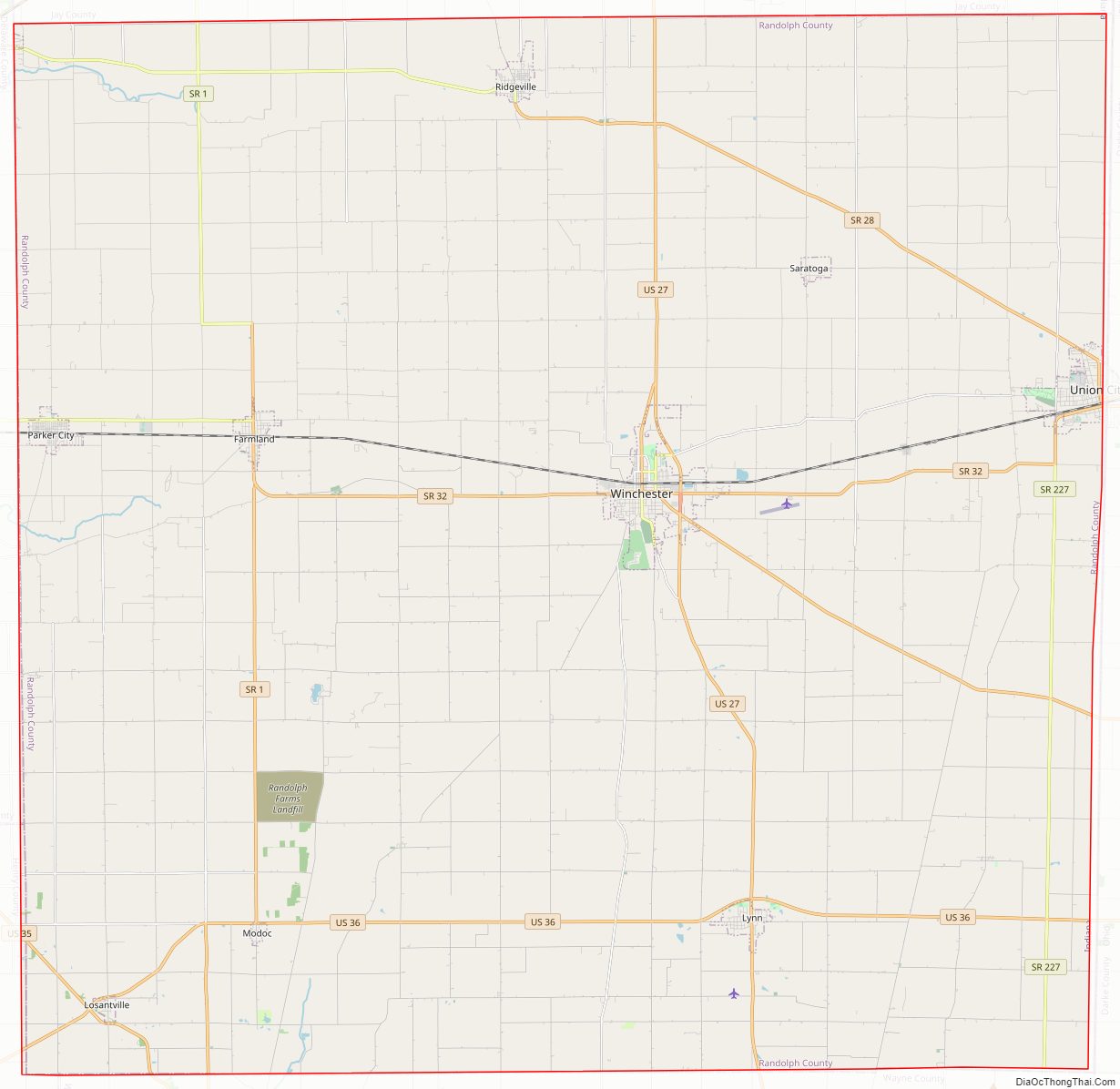
Randolph County Road Map
Geography
According to the 2010 census, the county has a total area of 453.31 square miles (1,174.1 km), of which 452.38 square miles (1,171.7 km) (or 99.79%) is land and 0.94 square miles (2.4 km) (or 0.21%) is water.
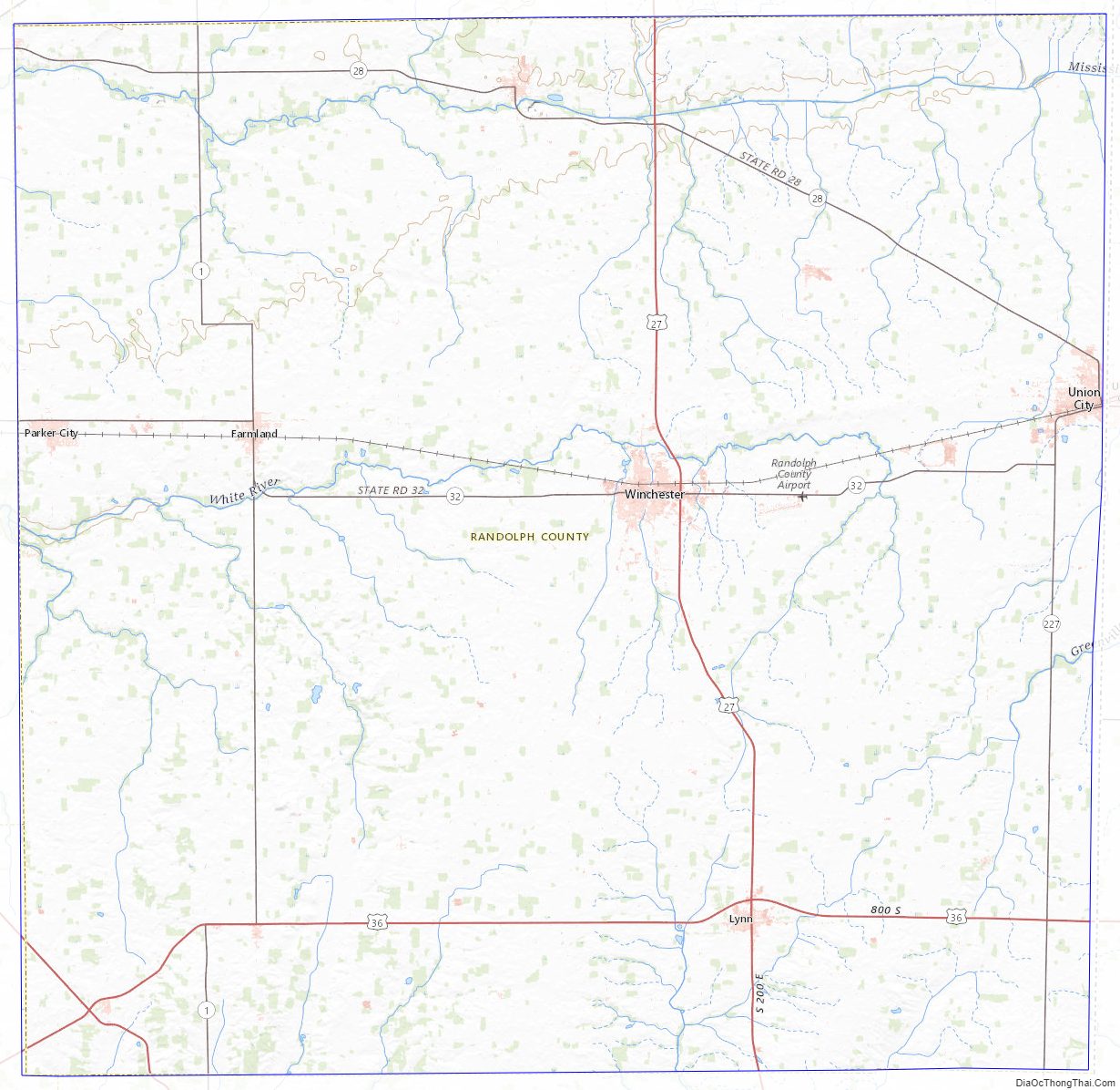
Randolph County is the point of origin for the White River and Whitewater River.
Adjacent counties
- Jay County (north)
- Darke County, Ohio (east)
- Wayne County (south)
- Henry County (southwest)
- Delaware County (west)
Transportation
- U.S. Route 36
- U.S. Route 35
- U.S. Route 27
- Indiana State Road 1
- Indiana State Road 28
- Indiana State Road 32
- Indiana State Road 227
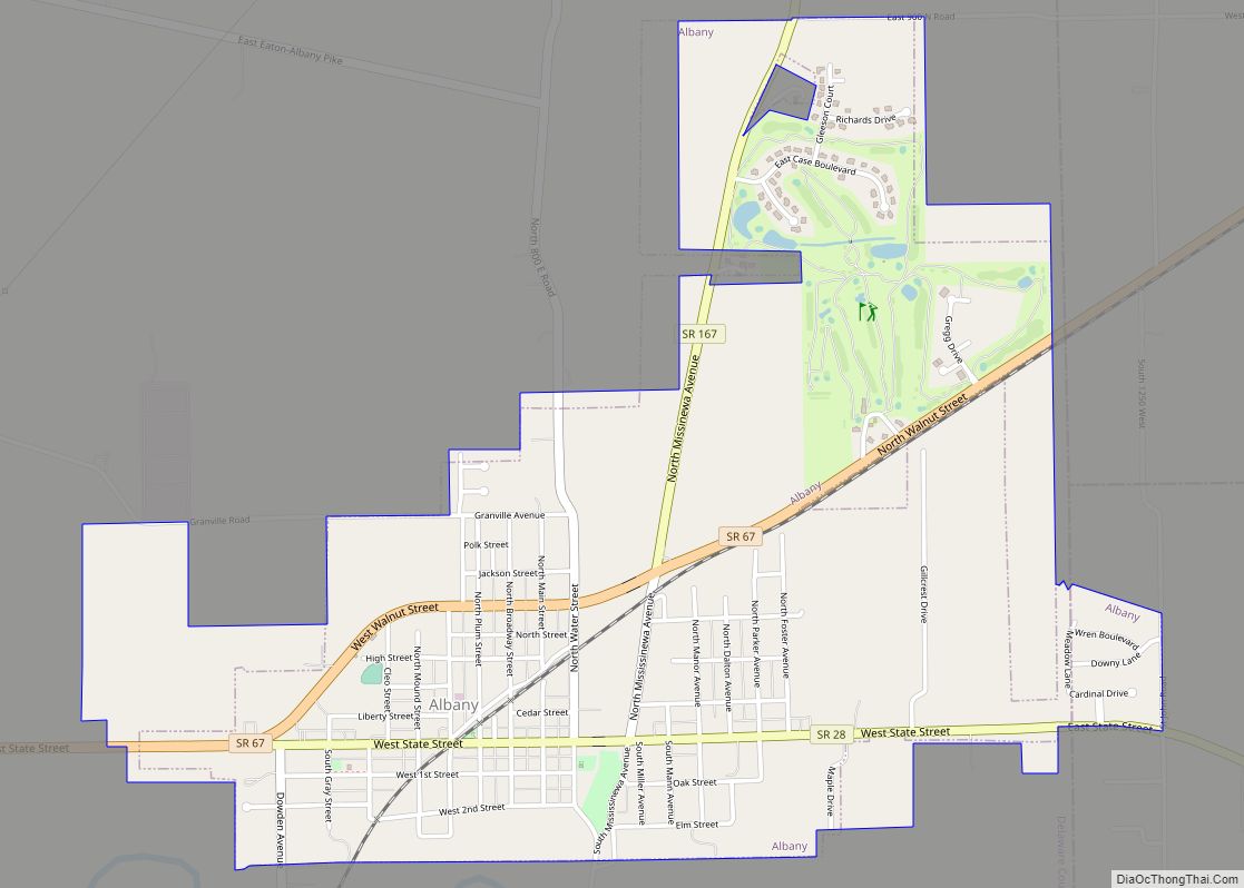
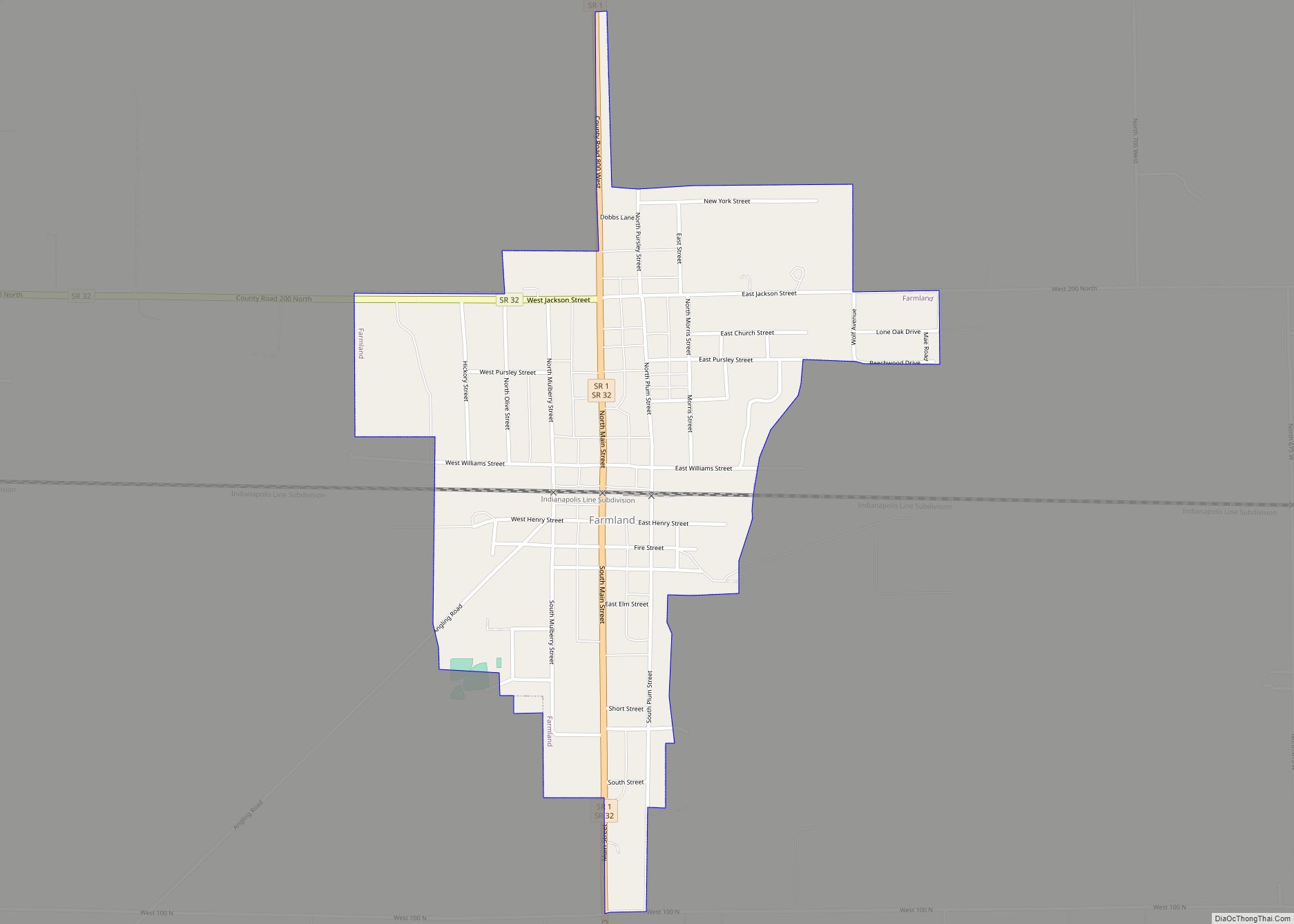
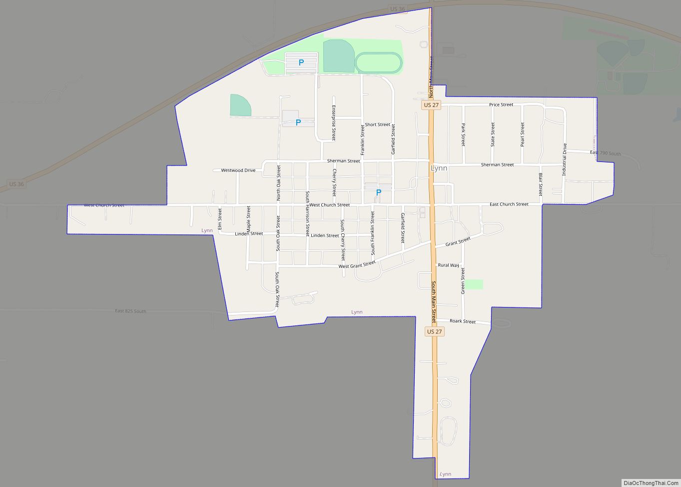
Cities and towns
- Arba
- Bartonia
- Bloomingport
- Buena Vista
- Carlos
- Crete
- Deerfield
- Fairview
- Georgetown
- Harrisville
- Haysville Corner
- Huntsville
- Maxville
- Mull
- New Lisbon
- New Pittsburg
- Pinch
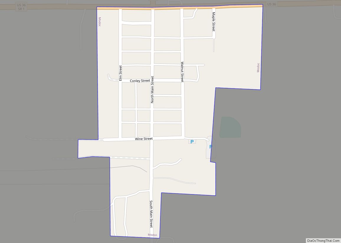
- Randolph
- Rural
- Scott Corner
- Shedville
- Snow Hill
- South Salem
- Spartanburg
- Stone
- Unionport
- Windsor
Townships
- Franklin
- Green
- Greensfork
- Jackson
- Monroe
- Stoney Creek
- Union
- Ward
- Washington
- Wayne
- White River
Nettle Creek (Losantville) and West River (Modoc) Townships were combined to form Union Township.
Randolph County Topographic Map
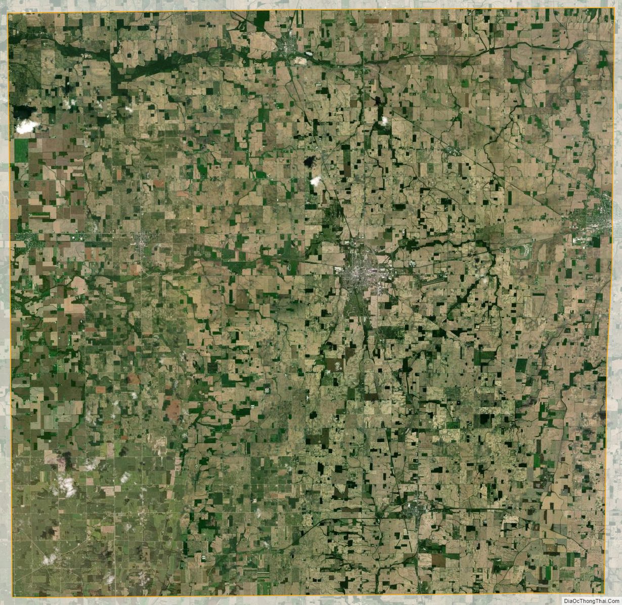
Randolph County Satellite Map
Randolph County Outline Map