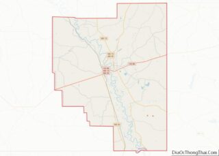
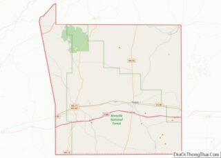
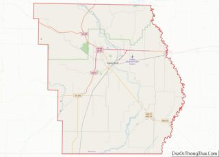
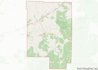
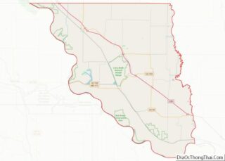
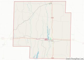
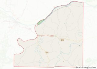
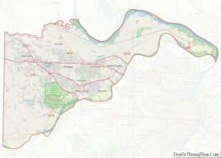
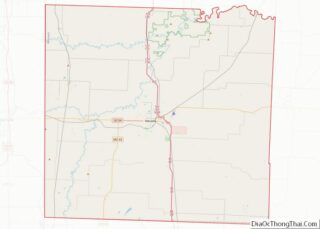
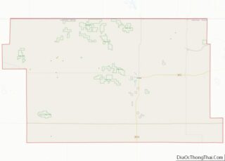
Map of Harrison County, West Virginia
Harrison County is a county in the U.S. state of West Virginia. As of the 2020 census, the population was 65,921. Its county seat is Clarksburg. Harrison County is part of the Clarksburg, WV Micropolitan Statistical Area. Harrison County overview: Name: Harrison County FIPS code: 54-033 State: West Virginia Founded: May 3, 1784 Named for: ... Read more
Map of Harrison County, West Virginia
Map of Morgan County, West Virginia
Morgan County is a county located in the U.S. state of West Virginia. As of the 2020 census, the population was 17,063. Its county seat is Berkeley Springs. The county was formed in 1820 from parts of Hampshire and Berkeley Counties and named in honor of General Daniel Morgan, prominent soldier of the American Revolutionary ... Read more
Map of Morgan County, West Virginia
Map of Upshur County, West Virginia
Upshur County is a county in the U.S. state of West Virginia. As of the 2020 census, the population was 23,816. Its county seat is Buckhannon. The county was formed in 1851 from Randolph, Barbour, and Lewis counties and named for Abel Parker Upshur, a distinguished statesman and jurist of Virginia. Upshur served as United ... Read more
Map of Upshur County, West Virginia
Map of Clark County, Wisconsin
Clark County is a county in the U.S. state of Wisconsin. As of the 2020 census, the population was 34,659. Its county seat is Neillsville. Clark County overview: Name: Clark County FIPS code: 55-019 State: Wisconsin Founded: 1854 Named for: George Rogers Clark Seat: Neillsville Largest city: Neillsville Total Area: 1,219 sq mi (3,160 km²) Land Area: 1,210 sq mi ... Read more
Map of Clark County, Wisconsin
Map of Iron County, Wisconsin
Iron County is a county located in the U.S. state of Wisconsin. As of the 2020 census, the population was 6,137, making it the third-least populous county in Wisconsin. Its county seat is Hurley. It was named for the valuable iron ore found within its borders. The county overlaps with small parts of the Bad ... Read more
Map of Iron County, Wisconsin
Map of Menominee County, Wisconsin
Menominee County is a county in the U.S. state of Wisconsin. As of the 2020 census, the population was 4,255, making it the least populous county in Wisconsin. Its county seat is in the community of Keshena. Menominee is Wisconsin’s newest county, having been created in 1959 after recognition of the Menominee tribe was terminated ... Read more
Map of Menominee County, Wisconsin
Map of St. Croix County, Wisconsin
St. Croix County is a county in the U.S. state of Wisconsin. As of the 2020 census, the population was 93,536. Its county seat is Hudson. The county was created in 1840 (then in the Wisconsin Territory) and organized in 1849. St. Croix County is part of the Minneapolis-St. Paul-Bloomington, MN-WI Metropolitan Statistical Area. Between ... Read more
Map of St. Croix County, Wisconsin
Map of Wood County, Wisconsin
Wood County is a county located in the U.S. state of Wisconsin. As of the 2020 census, the population was 74,207. Its county seat is Wisconsin Rapids. The county is named after Joseph Wood, a member of the Wisconsin State Assembly. Wood County comprises the Wisconsin Rapids-Marshfield, WI Micropolitan Statistical Area and is included in ... Read more
Map of Wood County, Wisconsin
Map of Platte County, Wyoming
Platte County is a county located in the U.S. state of Wyoming. As of the 2020 United States Census, the population was 8,605. Its county seat is Wheatland. Platte County overview: Name: Platte County FIPS code: 56-031 State: Wyoming Founded: February 21, 1911 (authorized)1913 (organized) Named for: North Platte River Seat: Wheatland Largest town: Wheatland ... Read more
Map of Platte County, Wyoming
Map of Bullock County, Alabama
Bullock County is a county of the U.S. state of Alabama. As of the 2020 census, the population was 10,357. Union Springs was chosen as the county seat in 1867, and presently is the county’s only incorporated city. The county was named for Confederate Army Colonel Edward C. Bullock who was a state senator and ... Read more
Map of Bullock County, Alabama
Map of Cullman County, Alabama
Cullman County is a county located in the north central portion of the U.S. state of Alabama. As of the 2020 census, the population was 87,866. Its county seat and largest city is Cullman. Its name is in honor of Colonel John G. Cullmann. Cullman County comprises the Cullman, AL Micropolitan Statistical Area, which is ... Read more
Map of Cullman County, Alabama
Map of Lamar County, Alabama
Lamar County (formerly Jones County and Sanford County) is a county in the U.S. state of Alabama. As of the 2020 census, the population was 13,972. Its county seat is Vernon and it is a dry county. It is named in honor of Lucius Quintus Cincinnatus Lamar, a former member of both houses of the ... Read more
Map of Lamar County, Alabama