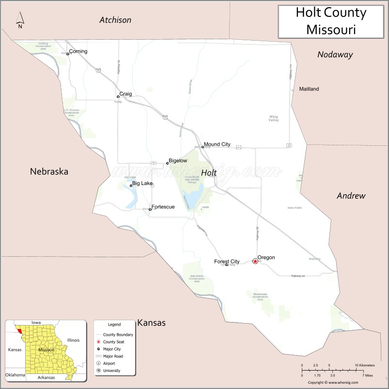
Holt County is a county located in the northwestern portion of the U.S. state of Missouri. As of the 2020 census, the population was 4,223. It’s county seat is Oregon. The county was organized February 15, 1841. Originally named Nodaway County, it was soon renamed for David Rice Holt (1803–1840), a Missouri state legislator from Platte County.
| Name: | Holt County |
|---|---|
| FIPS code: | 29-087 |
| State: | Missouri |
| Founded: | February 15, 1841 |
| Named for: | David Rice Holt |
| Seat: | Oregon |
| Largest city: | Mound City |
| Total Area: | 470 sq mi (1,200 km²) |
| Land Area: | 463 sq mi (1,200 km²) |
| Total Population: | 4,223 |
| Population Density: | 9.0/sq mi (3.5/km²) |
| Time zone: | UTC−6 (Central) |
| Summer Time Zone (DST): | UTC−5 (CDT) |
| Website: | holtcounty.org |
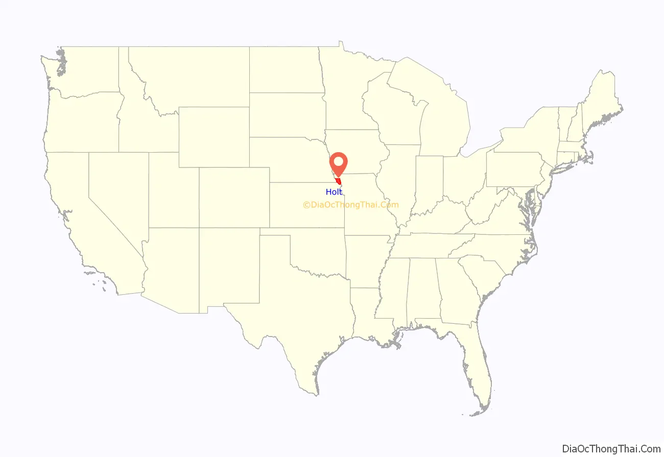
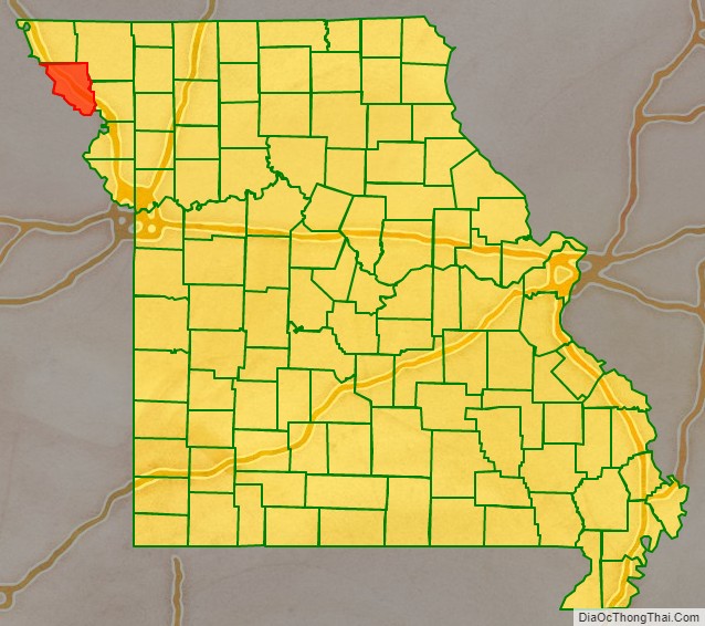
Holt County location map. Where is Holt County?
History
The History of Holt County, Missouri from the Time of the Platte Purchase through 1916 and The History of Holt and Atchison Counties, Missouri (published 1882) are available online.
In 1972, the Holt County Historical Society was established.
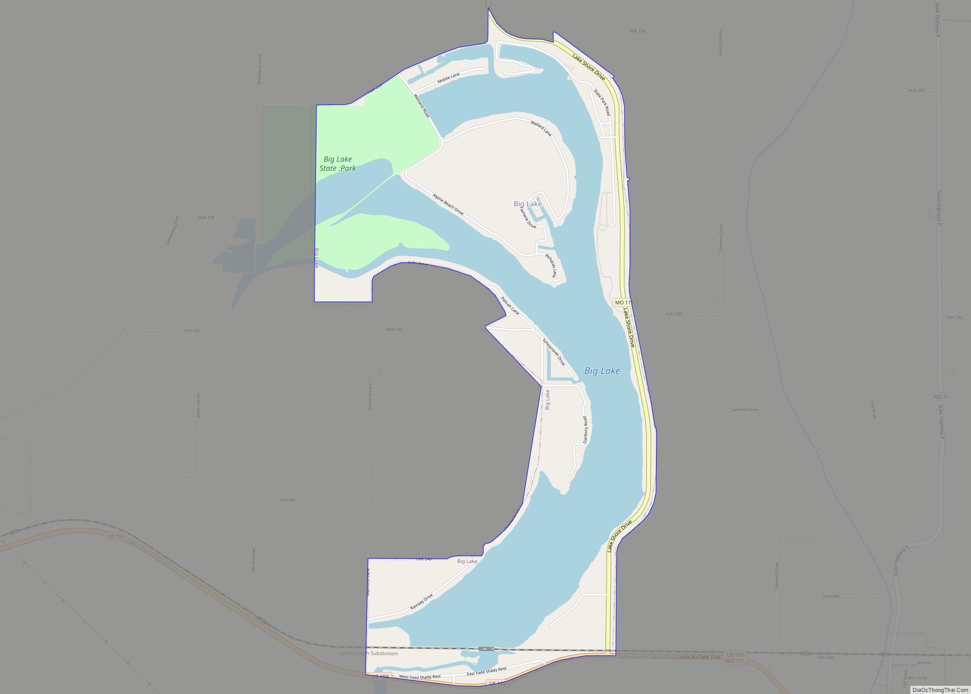
Holt County was impacted by the 2019 Midwestern U.S. floods. About 30,000 acres (12,140 hectares) of the 95,000 acres (38,445 hectares) that flooded in spring 2019 were still underwater in late October. Some of the floodwater was expected to freeze in place over the winter.
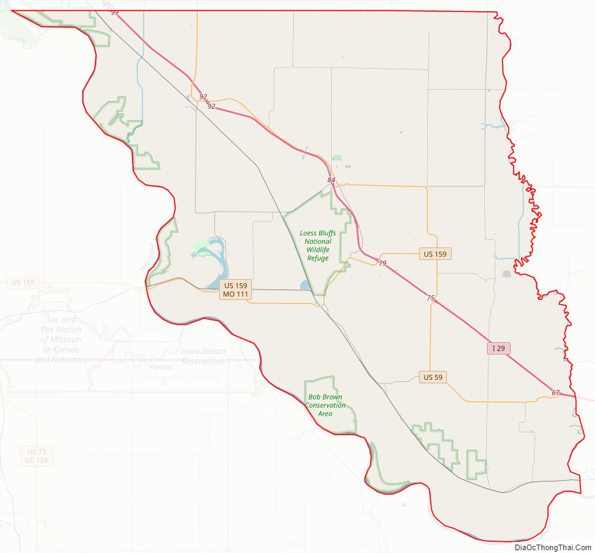
Holt County Road Map
Geography
According to the U.S. Census Bureau, the county has a total area of 470 square miles (1,200 km), of which 463 square miles (1,200 km) is land and 7.7 square miles (20 km) (1.6%) is water.
Adjacent counties
- Atchison County (north)
- Nodaway County (northeast)
- Andrew County (southeast)
- Doniphan County, Kansas (south)
- Brown County, Kansas (southwest)
- Richardson County, Nebraska (west)
- Nemaha County, Nebraska (northwest)
Major highways
- Interstate 29
- U.S. Route 59
- U.S. Route 159
- Route 111
- Route 113
- Route 118
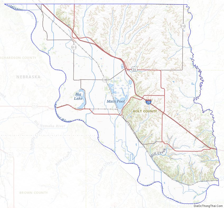
Holt County Topographic Map
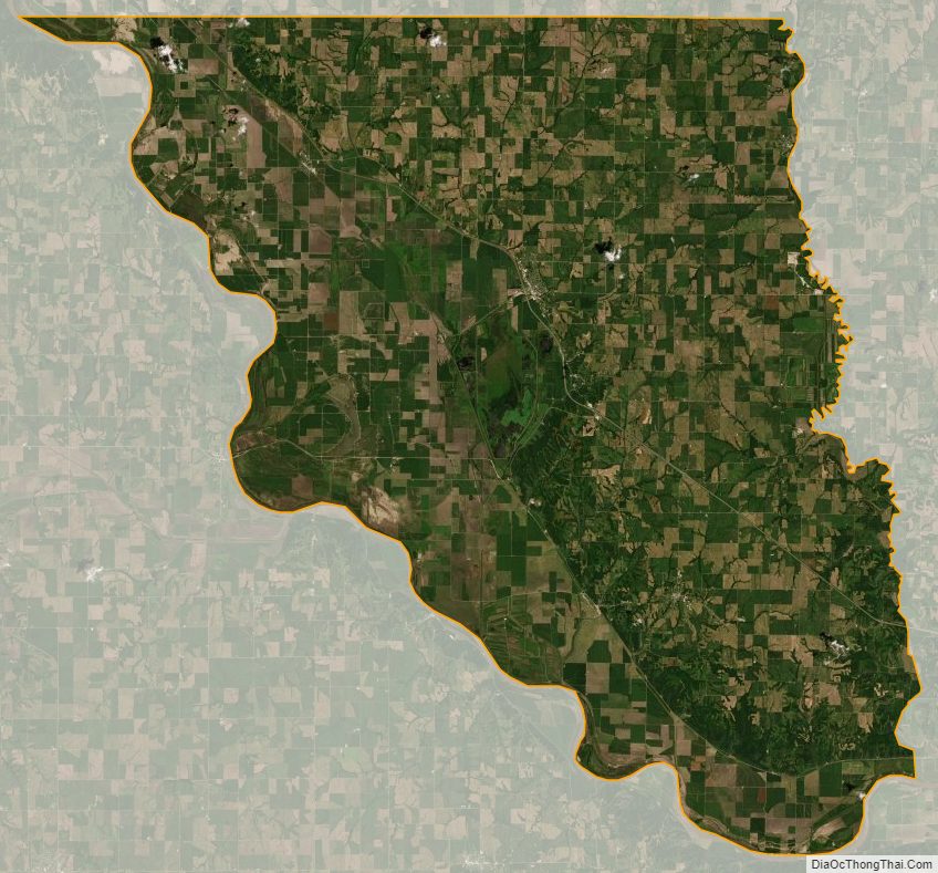
Holt County Satellite Map
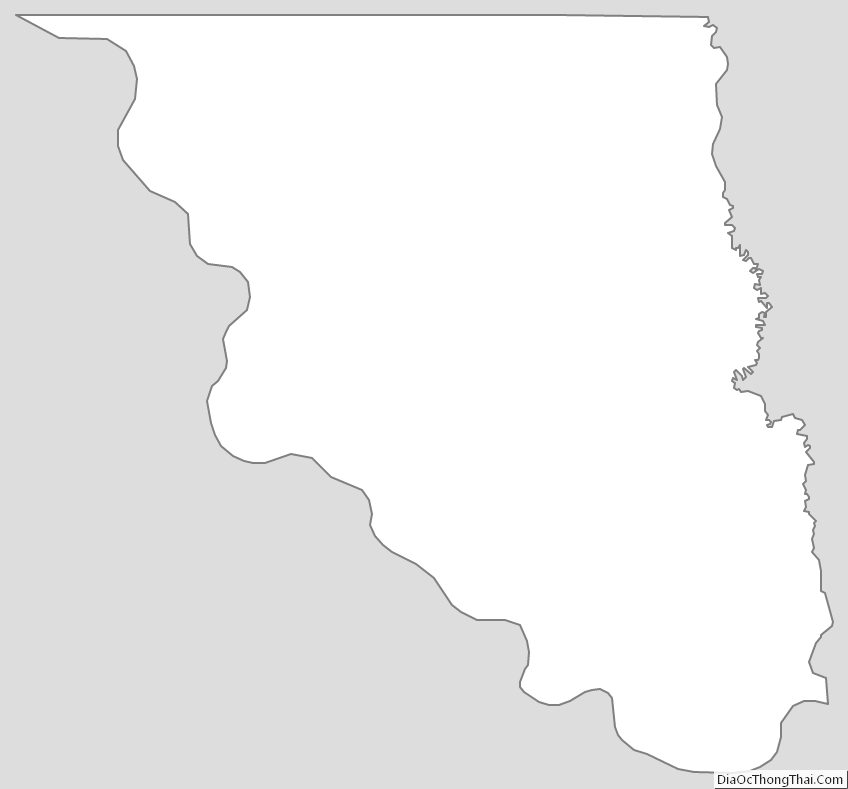
Holt County Outline Map