St. Charles County is in the central eastern part of the U.S. state of Missouri. As of the 2020 census, the population was 405,262, making it Missouri’s third-most populous county. Its county seat is St. Charles. The county was organized October 1, 1812, and named for Saint Charles Borromeo, an Italian cardinal.
St. Charles County is part of the St. Louis, MO-IL Metropolitan Statistical Area and contains many of the city’s northwestern suburbs. The wealthiest county in Missouri, St. Charles County is one of the nation’s fastest-growing counties.
St. Charles County includes a part of the Augusta AVA, an area of vineyards and wineries designated by the federal government in 1980 as the first American Viticultural Area. The county’s rural outer edge along the south-facing bluffs above the Missouri River, is also part of the broader Missouri Rhineland.
| Name: | St. Charles County |
|---|---|
| FIPS code: | 29-183 |
| State: | Missouri |
| Founded: | October 1, 1812 |
| Named for: | Charles Borromeo |
| Seat: | St. Charles |
| Largest city: | O’Fallon |
| Total Area: | 593 sq mi (1,540 km²) |
| Land Area: | 560 sq mi (1,500 km²) |
| Total Population: | 405,262 |
| Population Density: | 680/sq mi (260/km²) |
| Time zone: | UTC−6 (Central) |
| Summer Time Zone (DST): | UTC−5 (CDT) |
| Website: | www.sccmo.org |
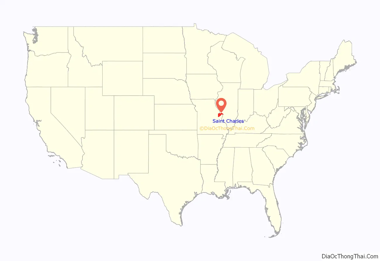
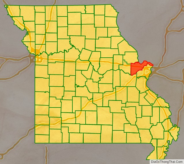
St. Charles County location map. Where is St. Charles County?
History
The County of St. Charles was originally called the District of St. Charles and had no definite limits until 1816 to 1818 when neighboring counties were formed. The borders of St. Charles are the same today as they were in 1818.
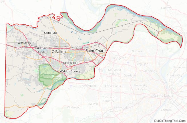
St. Charles County Road Map
Geography
According to the U.S. Census Bureau, the county has a total area of 593 square miles (1,540 km), of which 560 square miles (1,500 km) is land and 32 square miles (83 km) (5.4%) is water.
The highest elevation is 901 feet (275 m) northwest of Augusta near Femme Osage Creek headwaters.
Adjacent counties
- Lincoln County (northwest)
- Calhoun County, Illinois (north)
- Jersey County, Illinois (northeast)
- Madison County, Illinois (east)
- St. Louis County (southeast)
- Franklin County (south)
- Warren County (west)
Major highways
- I-64 – Major freeway in the western portion of the county. Originally U.S. Route 40, the highway was upgraded to Interstate standards in the late 2000s. The highway was re-signed as Interstate 64 from the Daniel Boone Bridge to Interstate 70 in Wentzville in 2009.
- I-70 – The major east–west thoroughfare in the county. It is mostly a six-lane freeway in the county, but there are sections in St. Charles and St. Peters where the Interstate widens to 11 lanes of traffic.
- Interstate 70 Business
- US-40
- US-61
- US-67
- Rte-79
- Rte-94
- Rte-364 – A freeway in the southern and central portions of the county that begins at Interstate 270 in western St. Louis County and ends at Interstate 64 in Lake St. Louis.
- Rte-370 – A six-lane freeway that connects Interstate 70 in St. Charles County and Interstate 270 in St. Louis County.
National protected area
- Two Rivers National Wildlife Refuge (part)
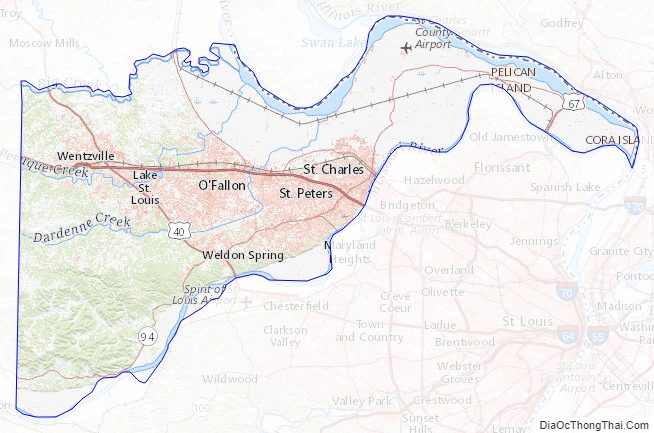
St. Charles County Topographic Map
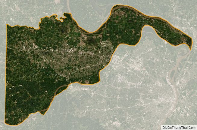
St. Charles County Satellite Map
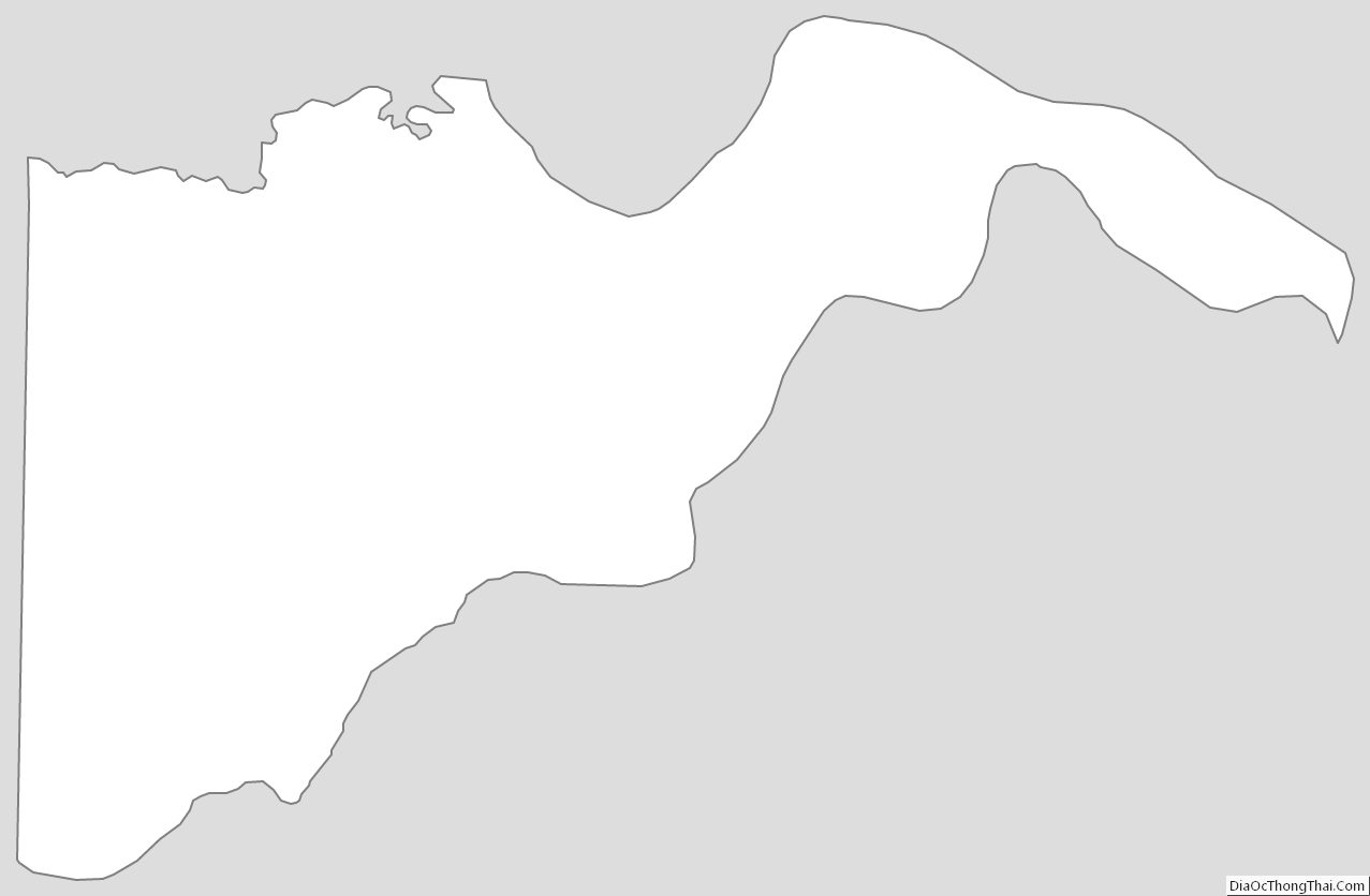
St. Charles County Outline Map