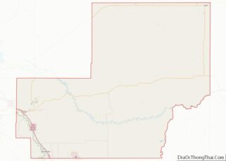
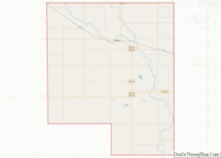
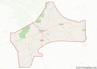
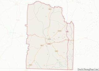
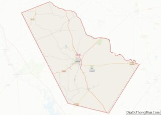
Map of Montgomery County, Missouri
Montgomery County is a county in the east central part of the U.S. state of Missouri. As of the 2020 census, the population was 11,322. Its county seat is Montgomery City. The county was named in honor of Richard Montgomery, an American Revolutionary War general killed in 1775 while attempting to capture Quebec City, Canada. ... Read more
Map of Montgomery County, Missouri
Map of Putnam County, Missouri
Putnam County is in north central Missouri. At the 2020 census, the population was 4,681. Its county seat is Unionville. The county was organized February 28, 1845, and named for Israel Putnam, a hero in the French and Indian War and a general in the American Revolutionary War. Putnam County was established February 28, 1845, ... Read more
Map of Putnam County, Missouri
Map of Shelby County, Missouri
Shelby County is a county located in the northeastern portion of the U.S. state of Missouri. As of the 2020 census, the population was 6,103. Its county seat is Shelbyville. The county was established on January 2, 1835, and named for Governor Isaac Shelby of Kentucky. Shelby County overview: Name: Shelby County FIPS code: 29-205 ... Read more
Map of Shelby County, Missouri
Map of Broadwater County, Montana
Broadwater County is a county in the U.S. state of Montana. As of the 2020 census, the population was 6,774. Its county seat is Townsend. The county was named for Charles Arthur Broadwater, a noted Montana railroad, real estate, and banking magnate. Broadwater County overview: Name: Broadwater County FIPS code: 30-007 State: Montana Founded: 1897 ... Read more
Map of Broadwater County, Montana
Map of Granite County, Montana
Granite County is a county located in the U.S. state of Montana. As of the 2020 census, the population was 3,309. Its county seat is Philipsburg. The county was founded in 1893, and was named for a mountain which contains the Granite Mountain silver mine. Granite County overview: Name: Granite County FIPS code: 30-039 State: ... Read more
Map of Granite County, Montana
Map of Phillips County, Montana
Phillips County is a county in the U.S. state of Montana. As of the 2020 census, the population was 4,217. Its county seat is Malta. Before February 5, 1915, Phillips County was part of Blaine County, and before 1912 both were part of Chouteau County. It was named for rancher and state senator Benjamin D. ... Read more
Map of Phillips County, Montana
Map of Treasure County, Montana
Treasure County is a county in the U.S. state of Montana. As of the 2020 census, the population was 762, making it the second-least populous county in Montana. Its county seat is Hysham. The county was founded in 1919. Treasure County overview: Name: Treasure County FIPS code: 30-103 State: Montana Founded: 1919 Seat: Hysham Largest ... Read more
Map of Treasure County, Montana
Map of Butler County, Nebraska
Butler County is a county in the U.S. state of Nebraska. As of the 2020 United States Census, the population was 8,369. Its county seat is David City. The county was created in 1856 and organized in 1868. In the Nebraska license plate system, Butler County is represented by the prefix 25 (when the license ... Read more
Map of Butler County, Nebraska
Map of Douglas County, Nebraska
Douglas County is a county located in the U.S. state of Nebraska. As of the 2020 United States Census, the population is 584,526. It is the state’s most populous county, home to well over one-fourth of Nebraska’s residents. Its county seat is Omaha, the state’s largest city. The county was established in 1854 and named ... Read more
Map of Douglas County, Nebraska
Map of Hitchcock County, Nebraska
Hitchcock County is a county in the U.S. state of Nebraska. As of the 2020 United States Census, the population was 2,616. Its county seat is Trenton. In the Nebraska license plate system, Hitchcock County is represented by the prefix 67 (it had the sixty-seventh-largest number of vehicles registered in the county when the license ... Read more
Map of Hitchcock County, Nebraska
Map of McPherson County, Nebraska
McPherson County is a county in the U.S. state of Nebraska. As of the 2020 United States Census, the population was 399, making it the least populous county in the state of Nebraska and the fifth-least populous county in the United States. Its county seat is Tryon. The county was formed in 1890 from Logan ... Read more
Map of McPherson County, Nebraska
Map of Saline County, Nebraska
Saline County is a county in the U.S. state of Nebraska. As of the 2010 United States Census, the population was 14,200. Its county seat is Wilber. In the Nebraska license plate system, Saline County is represented by the prefix 22 (it had the twenty-second-largest number of vehicles registered in the state when the license ... Read more
Map of Saline County, Nebraska