Spink County is a county in the U.S. state of South Dakota. As of the 2020 census, the population was 6,361. Its county seat is Redfield. The county was created in 1873, and was organized in 1879 within Dakota Territory.
| Name: | Spink County |
|---|---|
| FIPS code: | 46-115 |
| State: | South Dakota |
| Founded: | 1873 |
| Named for: | S.L. Spink |
| Seat: | Redfield |
| Largest city: | Redfield |
| Total Area: | 1,510 sq mi (3,900 km²) |
| Land Area: | 1,504 sq mi (3,900 km²) |
| Total Population: | 6,361 |
| Population Density: | 4.2/sq mi (1.6/km²) |
| Time zone: | UTC−6 (Central) |
| Summer Time Zone (DST): | UTC−5 (CDT) |
| Website: | www.spinkcounty-sd.org |
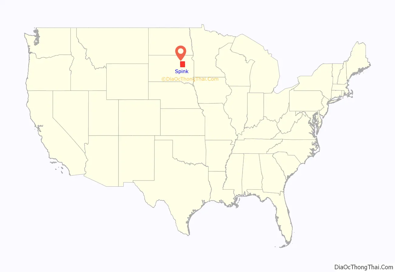
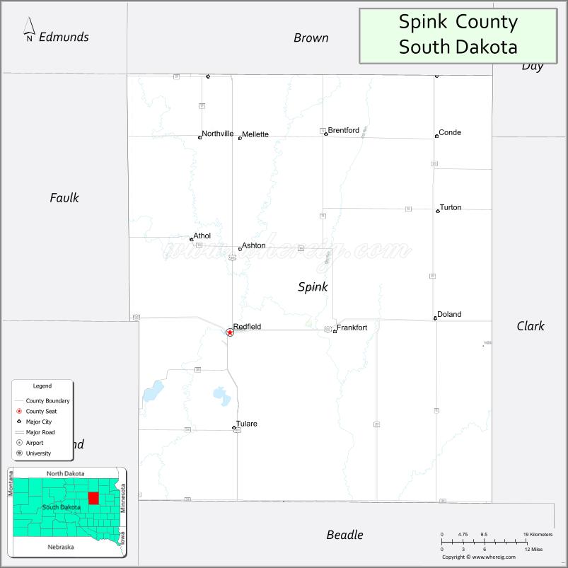
Spink County location map. Where is Spink County?
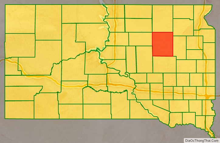
Spink County Road Map
Geography
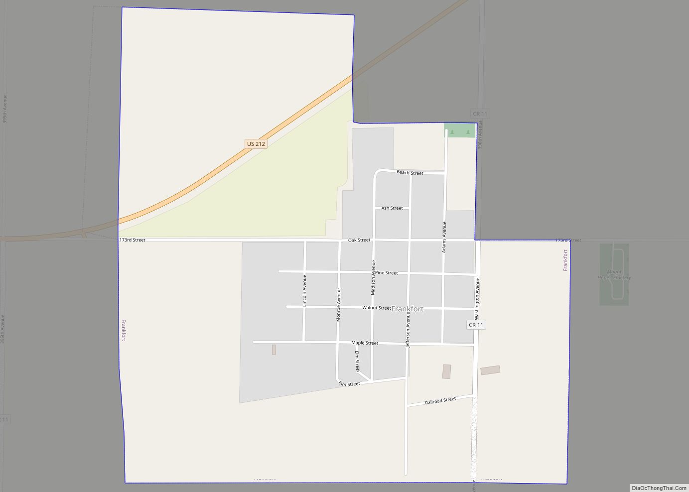
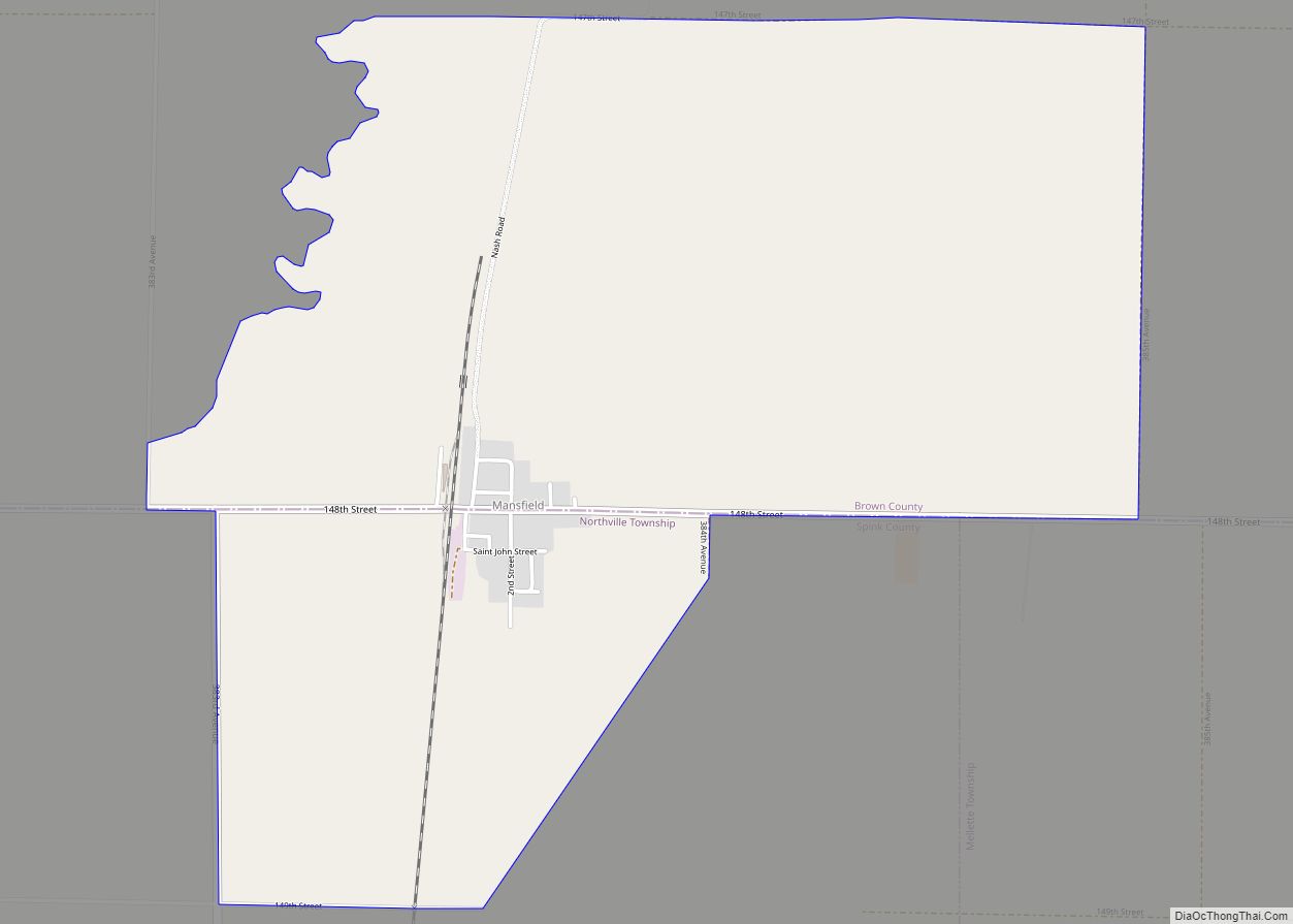
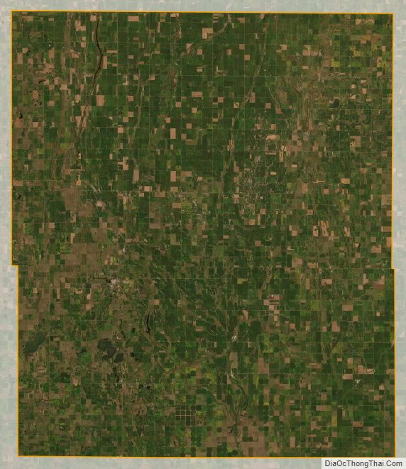
The terrain of Spink County consists of rolling hills, dedicated to agriculture. The James River flows southerly through the central portion of the county. The terrain slopes to the south; its highest point is in its northeast corner, at 1,424′ (434m) ASL. The county has a total area of 1,510 square miles (3,900 km), of which 1,504 square miles (3,900 km) is land and 5.8 square miles (15 km) (0.4%) is water.
Major highways
- U.S. Highway 212
- U.S. Highway 281
- South Dakota Highway 20
- South Dakota Highway 26
- South Dakota Highway 28
- South Dakota Highway 37
Protected area
- Fisher Grove State Park
Adjacent counties
- Brown County – north
- Day County – northeast
- Clark County – east
- Beadle County – south
- Hand County – southwest
- Faulk County – west
Lakes
- Alkali Lake
- Cottonwood Lake
- Twin Lakes
Spink County Topographic Map
Spink County Satellite Map
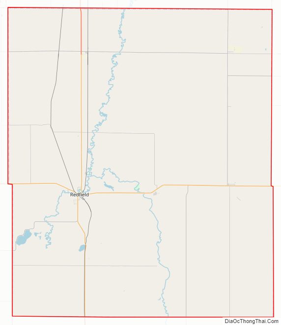
Spink County Outline Map