Brooks County is a county in Texas, and Falfurrias is its county seat. Its population was 7,076, about 88% Latino per the 2020 census. It is one of Texas’s poorest counties.
The county is named for James Abijah Brooks, one of the “Four Captains” who modernized the Texas Rangers. He retired to Farfurrias, served two terms as state representative, lobbied successfully for the county’s creation, and served thirty years as county judge.
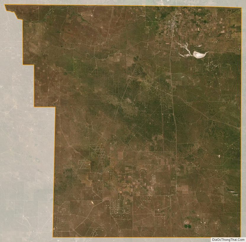
Brooks County has several large ranches, including Mariposa Ranch and the King Ranch, both in the east. The county’s largest employer is the Falfurrias Border Patrol interior checkpoint on US 281, built in 1994 outside the city limits and significantly enlarged in 2019.
| Name: | Brooks County |
|---|---|
| FIPS code: | 48-047 |
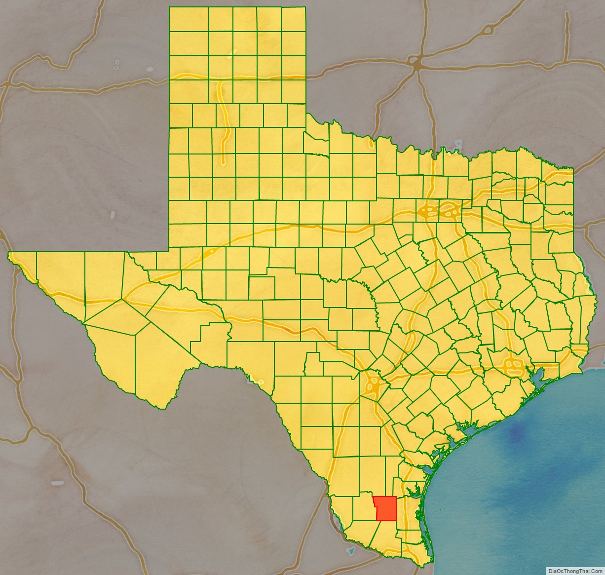
| State: | Texas |
| Founded: | 1911 |
| Named for: | James Brooks |
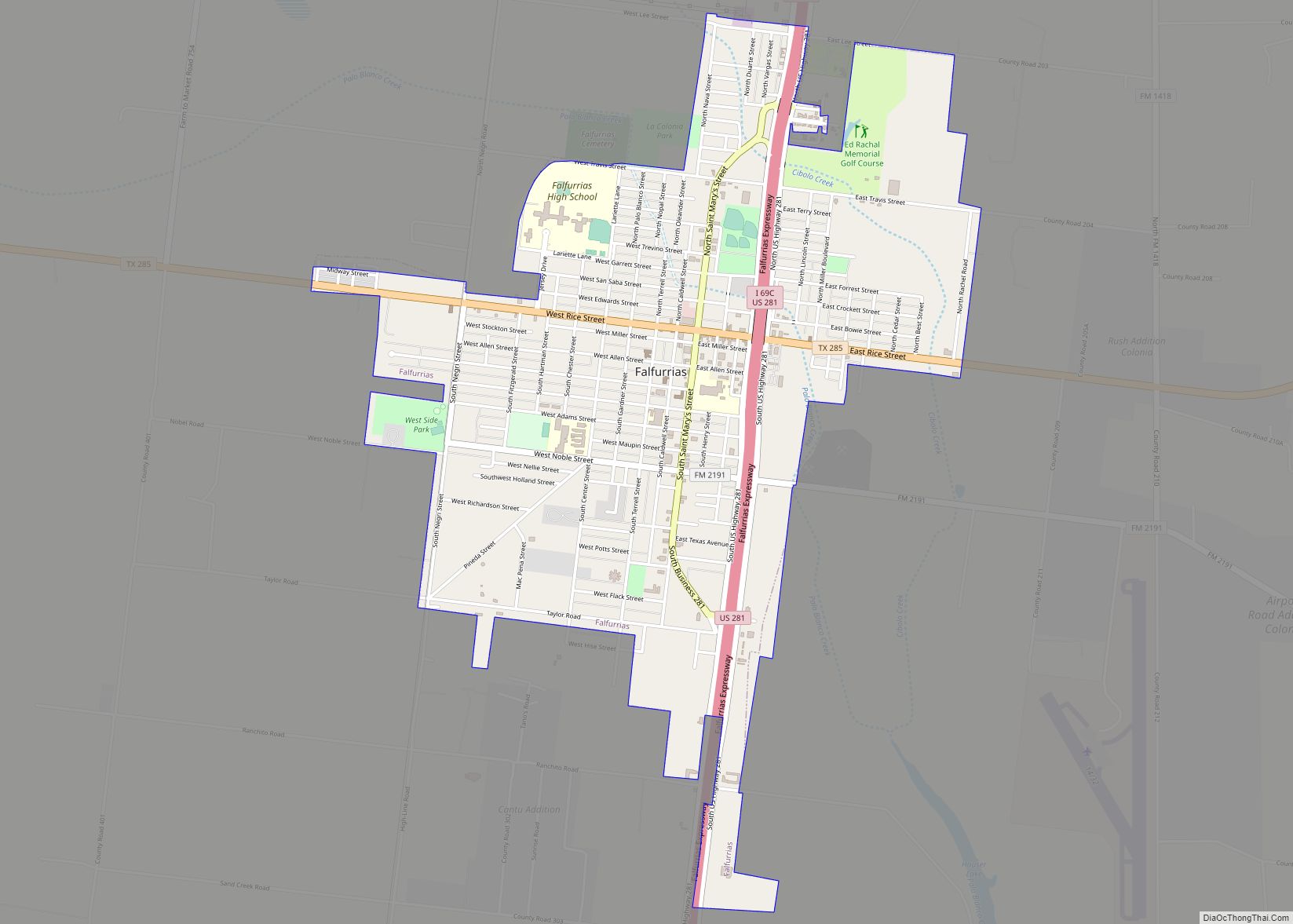
| Seat: | Falfurrias |
| Largest city: | Falfurrias |
| Total Area: | 944 sq mi (2,440 km²) |
| Land Area: | 943 sq mi (2,440 km²) |
| Total Population: | 7,076 |
| Population Density: | 7.5/sq mi (2.9/km²) |
| Time zone: | UTC−6 (Central) |
| Summer Time Zone (DST): | UTC−5 (CDT) |
| Website: | www.co.brooks.tx.us |
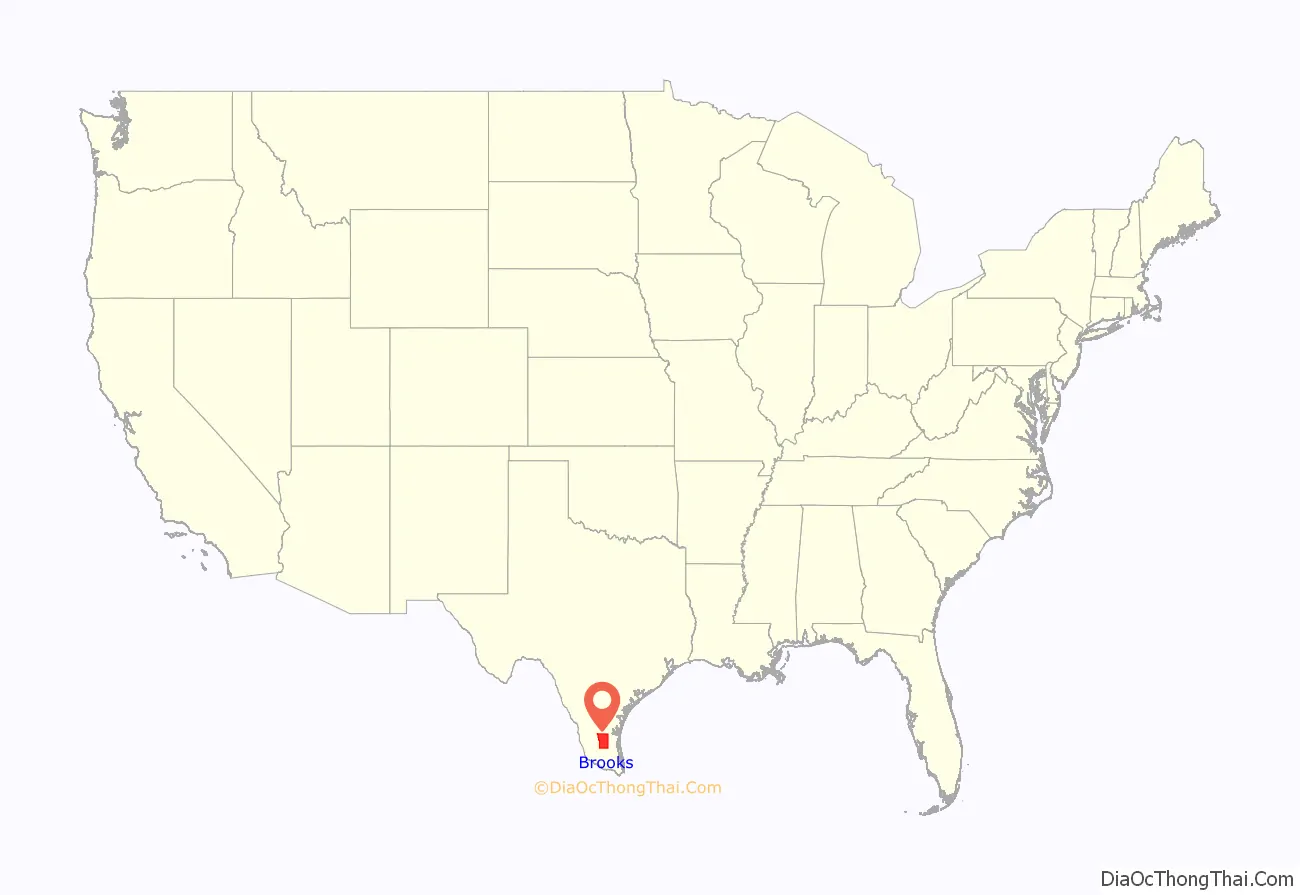
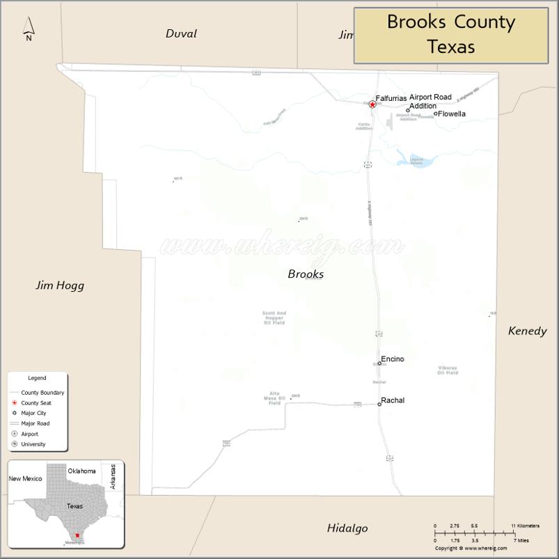
Brooks County location map. Where is Brooks County?
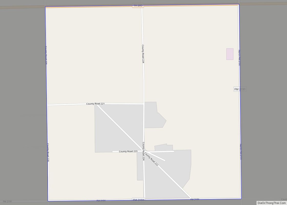
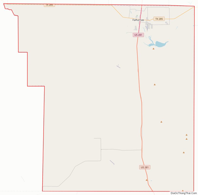
Brooks County Road Map
Geography
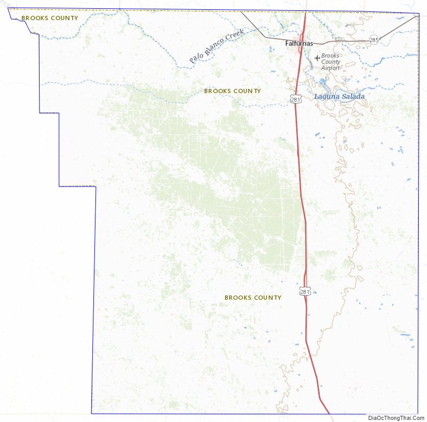
Brooks County’s total area is 943.3 sq mi (2,443 km), with only 0.3 sq mi (0.78 km) (0.03%) covered by water per the U.S. Census Bureau.
Major highways
- U.S. Highway 281
- Interstate 69C is currently under construction and will follow the current route of U.S. 281 in most places.
- State Highway 285
- Farm to Market Road 755
Adjacent counties
- Jim Wells County (north)
- Kleberg County (northeast)
- Kenedy County (east)
- Hidalgo County (south)
- Starr County (southwest)
- Jim Hogg County (west)
- Duval County (northwest)
Brooks County Topographic Map
Brooks County Satellite Map
Brooks County Outline Map