Union County is a county located in the U.S. state of Tennessee. As of the 2020 census, its population was 19,802. Its county seat is Maynardville. Union County is included in the Knoxville metropolitan statistical area.
| Name: | Union County |
|---|---|
| FIPS code: | 47-173 |
| State: | Tennessee |
| Founded: | January 23, 1856 |
| Named for: | Either its creation from parts of five other counties or its support for the Union during the Civil War |
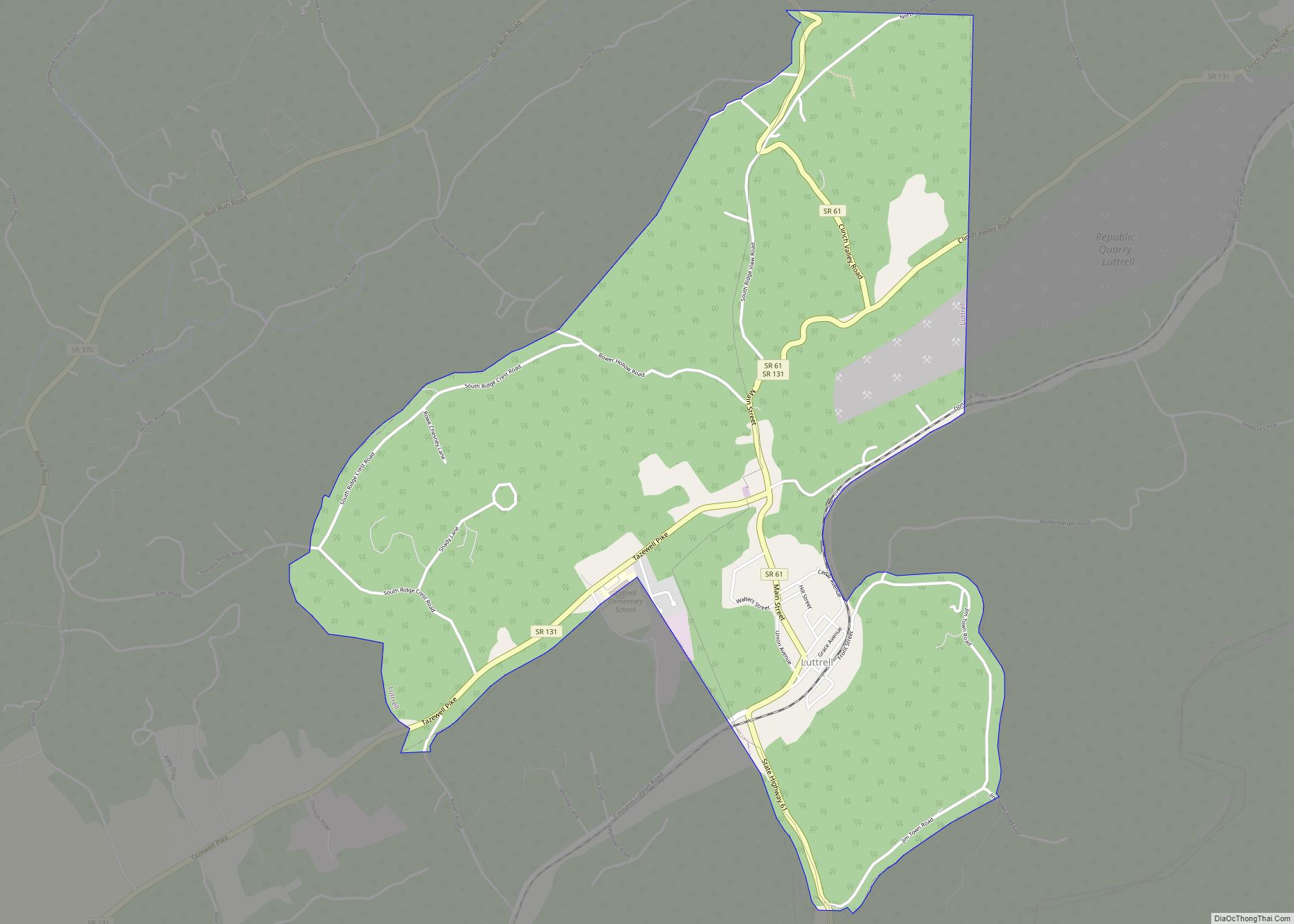
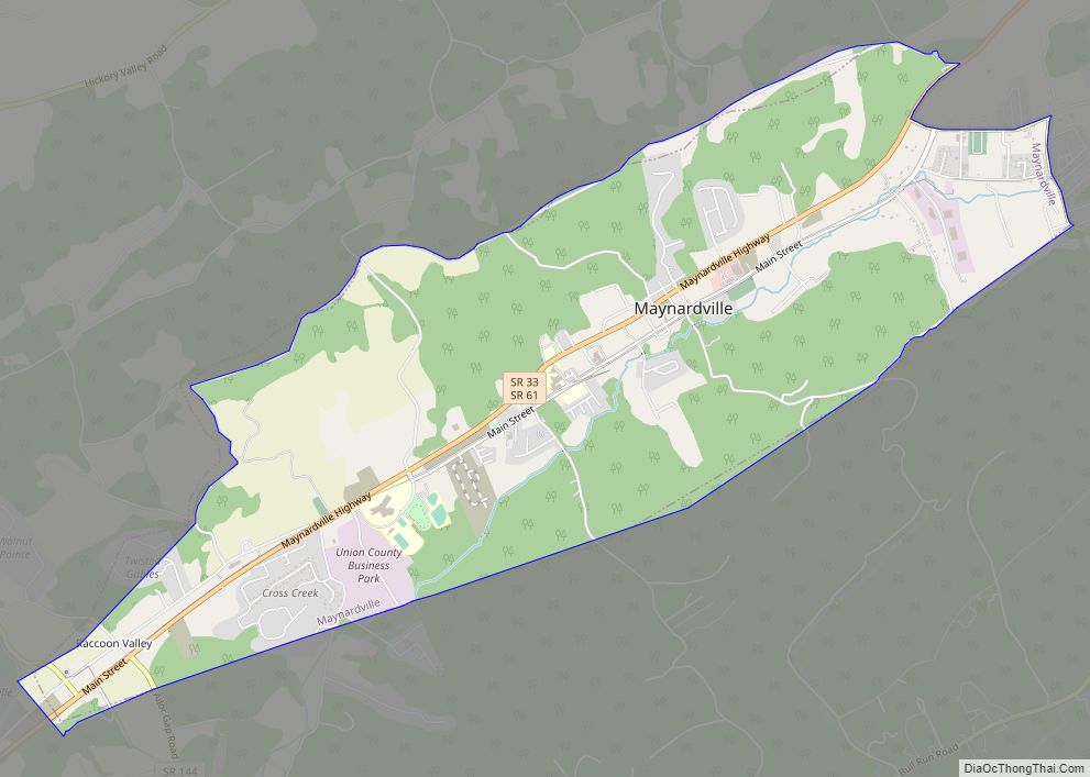
| Seat: | Maynardville |
| Largest city: | Maynardville |
| Total Area: | 247 sq mi (640 km²) |
| Land Area: | 224 sq mi (580 km²) |
| Total Population: | 19,802 |
| Population Density: | 85/sq mi (33/km²) |
| Time zone: | UTC−5 (Eastern) |
| Summer Time Zone (DST): | UTC−4 (EDT) |
| Website: | www.unioncountytn.com |
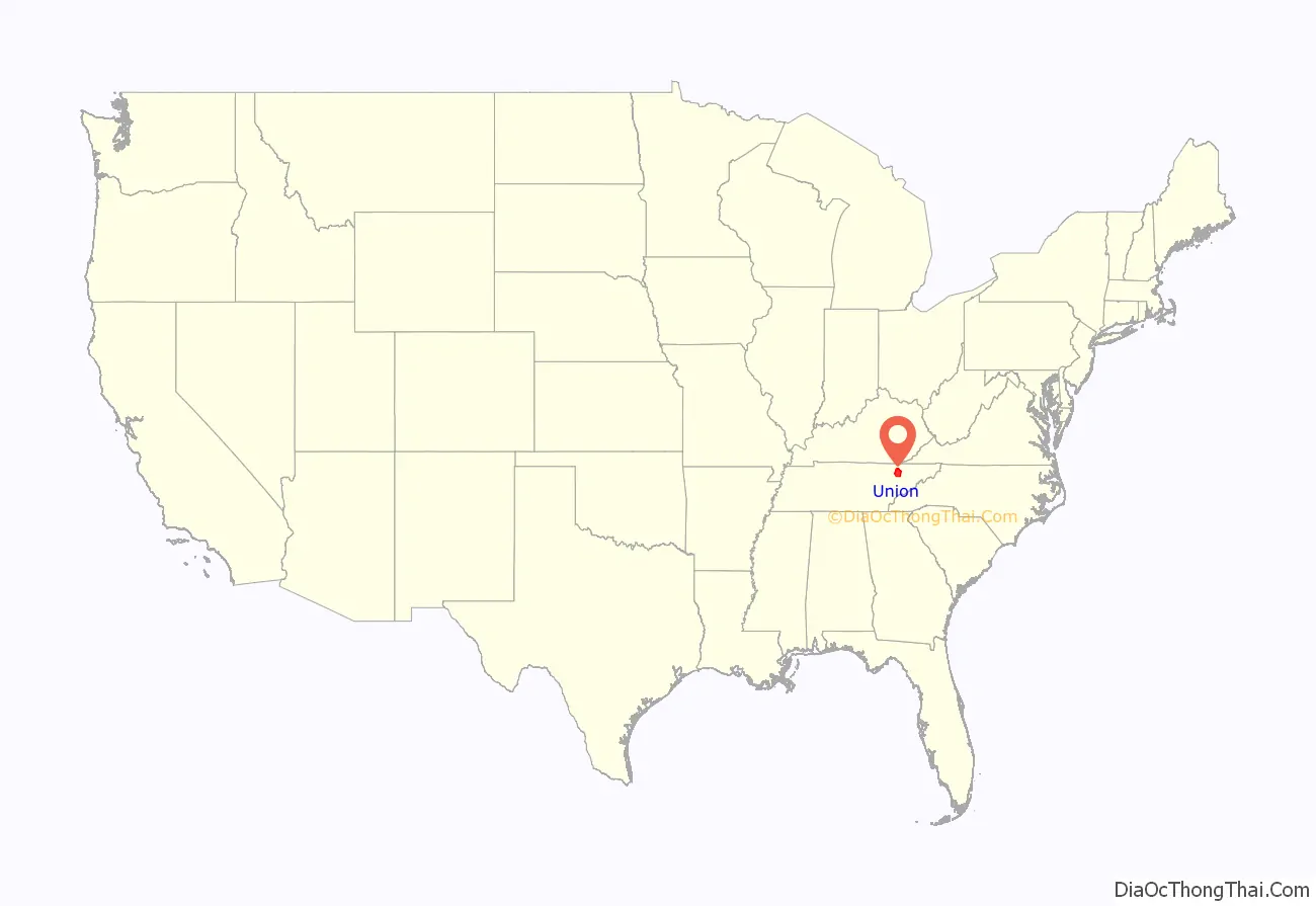
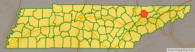
Union County location map. Where is Union County?
History
Union County was formed in 1850 from portions of Grainger, Claiborne, Campbell, Anderson, and Knox Counties. At least two theories are given on the source of its name. The name may commemorate the “union” of sections of five counties, or it may reflect East Tennessee’s support for the preservation of the Union in the years before and during the Civil War. The enabling legislation was initially passed January 3, 1850, but due to legal challenges and complications, the county was not formally created until January 23, 1856. The county seat was originally named “Liberty”, but renamed “Maynardville” in honor of attorney and congressman Horace Maynard, who had defended the county in a court case that sought to block its formation.
In the 1930s, the damming of the Clinch River by the construction of Norris Dam by the Tennessee Valley Authority (TVA) to form Norris Lake inundated a large part of the county, including the community of Loyston, and displaced many residents. “The Move,” what many displaced families called the forced relocation by TVA, would encounter criticism, as the promise of electrification of Union County would not come after the completion of Norris Dam, but two decades later in the mid-1950s. With assistance from the National Park Service and the Civilian Conservation Corps, the TVA developed Big Ridge State Park as a demonstration park on the shore of Norris Lake in Union County. The park’s recreational facilities opened in May 1934.
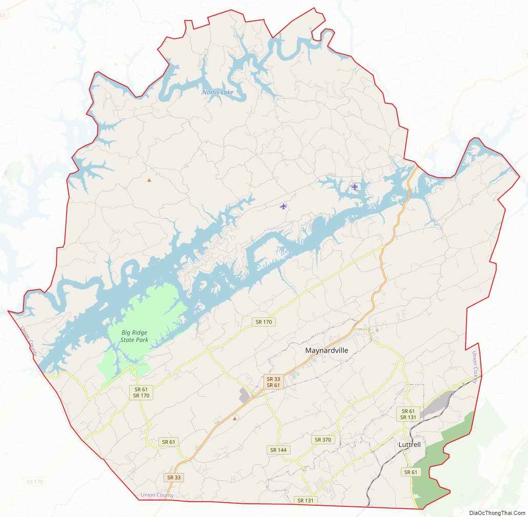
Union County Road Map
Geography
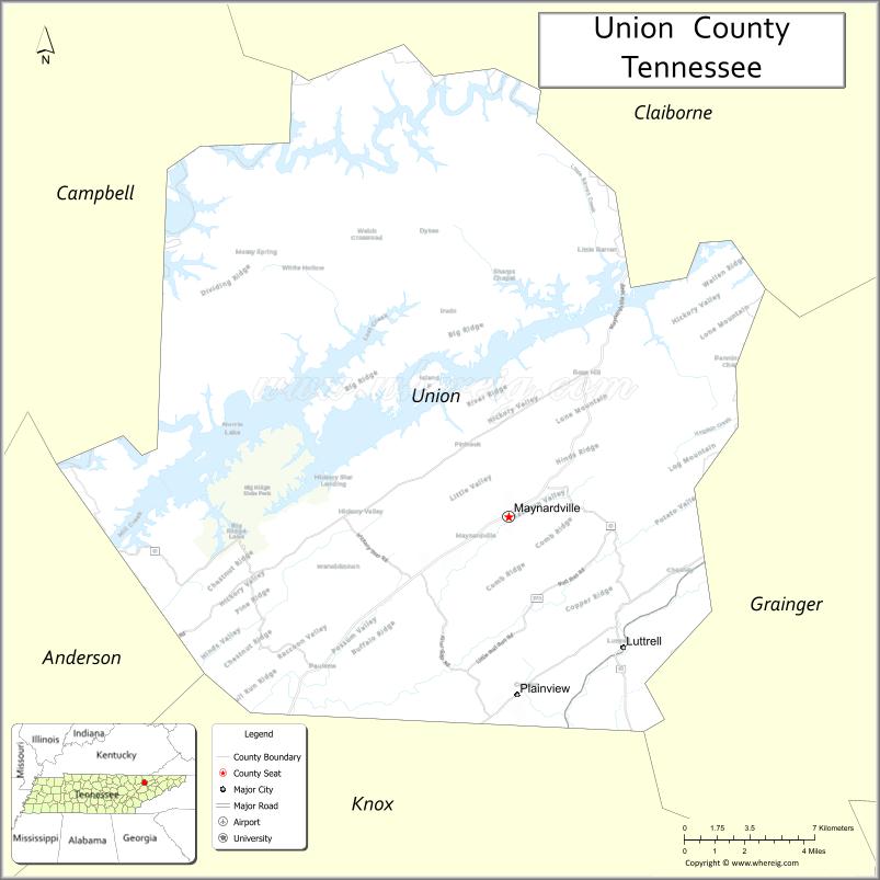
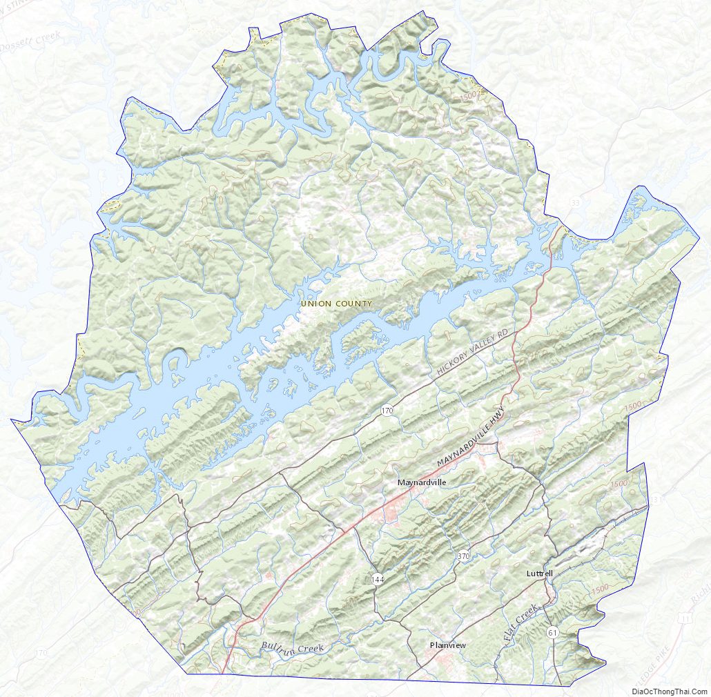
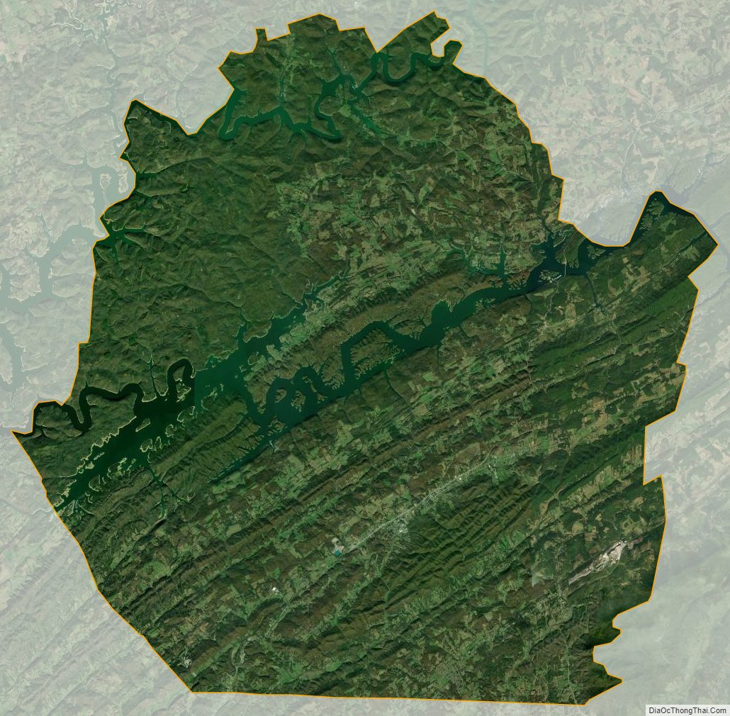
According to the U.S. Census Bureau, the county has a total area of 247 sq mi (640 km), of which 224 sq mi (580 km) are land and 24 sq mi (62 km) (9.5%) are covered by water. The county is situated in the Ridge-and-Valley Appalachians, a range characterized by long, narrow ridges alternating with similarly shaped valleys. Prominent ridges in Union County include Copper Ridge, Hinds Ridge, and Lone Mountain. The southern end of Clinch Mountain forms part of the county’s border with Grainger County to the east.
The Clinch River, Union County’s primary stream, flows through the northern part of the county. This section of the river is part of Norris Lake. Big Ridge Dam, a small, nongenerating dam, impounds an inlet of Norris Lake, creating Big Ridge Lake at Big Ridge State Park. The “Loyston Sea”, one of the widest sections of Norris Lake, is located in Union County just north of the state park.
Adjacent counties
- Claiborne County (north)
- Grainger County (east)
- Knox County (south)
- Anderson County (southwest)
- Campbell County (northwest)
State protected areas
- Big Ridge State Park
- Chuck Swan State Forest (part)
Union County Topographic Map
Union County Satellite Map
Union County Outline Map