Henderson County is a county located in the U.S. state of Tennessee. As of the 2020 census, the population was 27,842. Its county seat is Lexington. The county was founded in 1821 and named for James Henderson, a soldier in the War of 1812.
| Name: | Henderson County |
|---|---|
| FIPS code: | 47-077 |
| State: | Tennessee |
| Founded: | 1821 |
| Named for: | James Henderson |
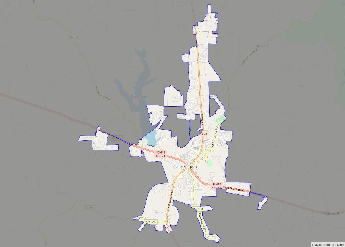
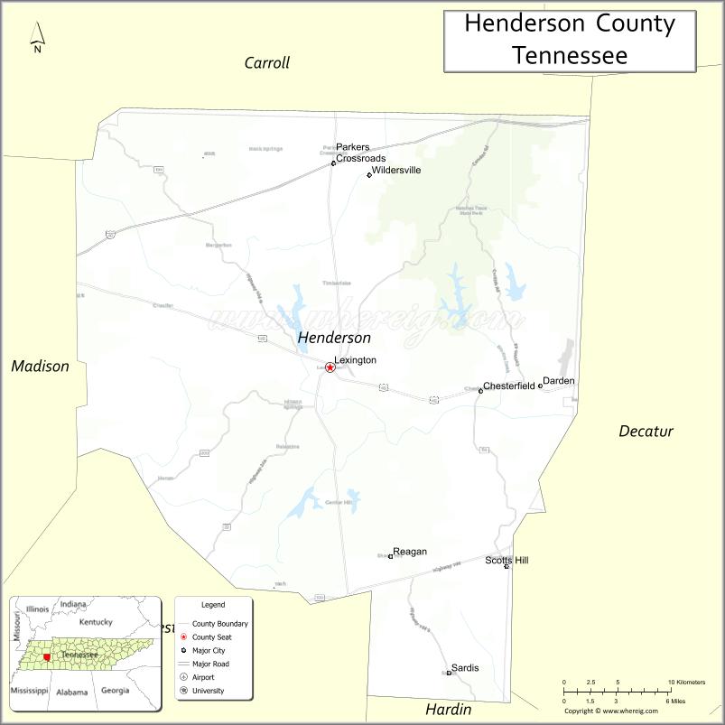
| Seat: | Lexington |
| Largest city: | Lexington |
| Total Area: | 526 sq mi (1,360 km²) |
| Land Area: | 520 sq mi (1,300 km²) |
| Total Population: | 27,842 |
| Population Density: | 53/sq mi (20/km²) |
| Time zone: | UTC−6 (Central) |
| Summer Time Zone (DST): | UTC−5 (CDT) |
| Website: | hendersoncountytn.gov |
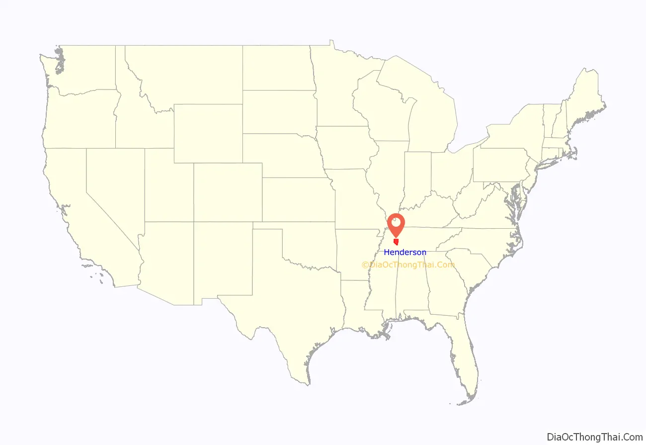
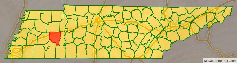
Henderson County location map. Where is Henderson County?
History
Henderson County was established in 1821; it was named for Lt. Colonel James Henderson, Jr. (1775-1814), of the Tennessee State Militia, who was killed in late December 1814 below New Orleans during a clash with the British Army. Henderson is said to have served in earlier conflicts such as the Creek Indian war, which took place during the same overall time period as the War of 1812.
After the Battle of New Orleans, Major General William Carroll’s Tennessee brigade, which was the largest single force under General Andrew Jackson’s command in Louisiana, established their outgoing camp upriver from New Orleans and named it Camp Henderson.
General Carroll’s first term as Governor of Tennessee began the same year that Henderson County was established.
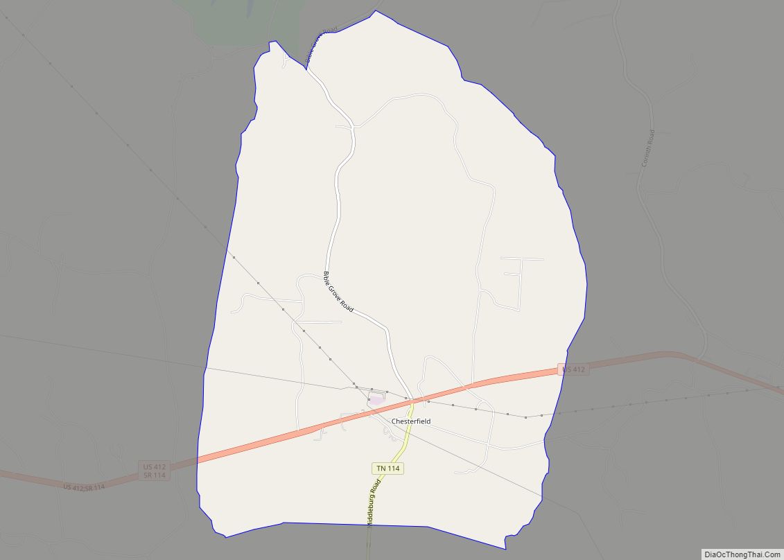
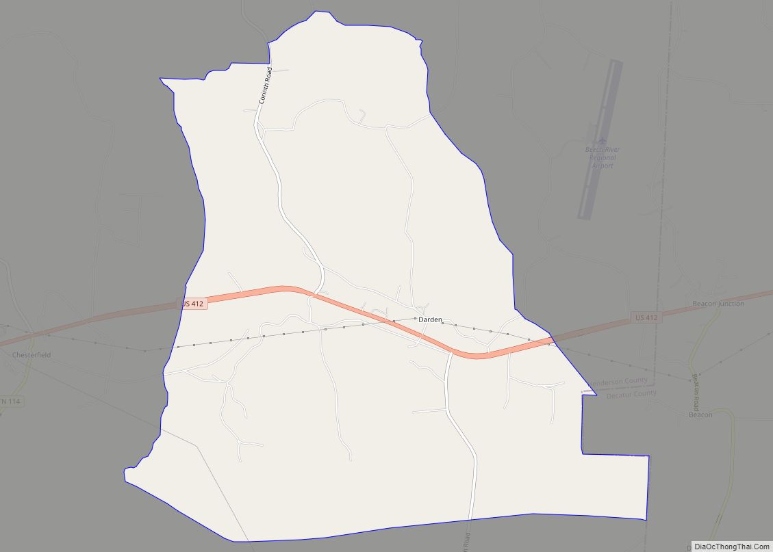
The county seat, Lexington, was laid out in 1822. Like many Tennessee counties, Henderson was divided during the Civil War. Confederate sentiment was strongest in the western half of the county (where most of the county’s plantations were located), while Union support was strongest in the hilly eastern half.
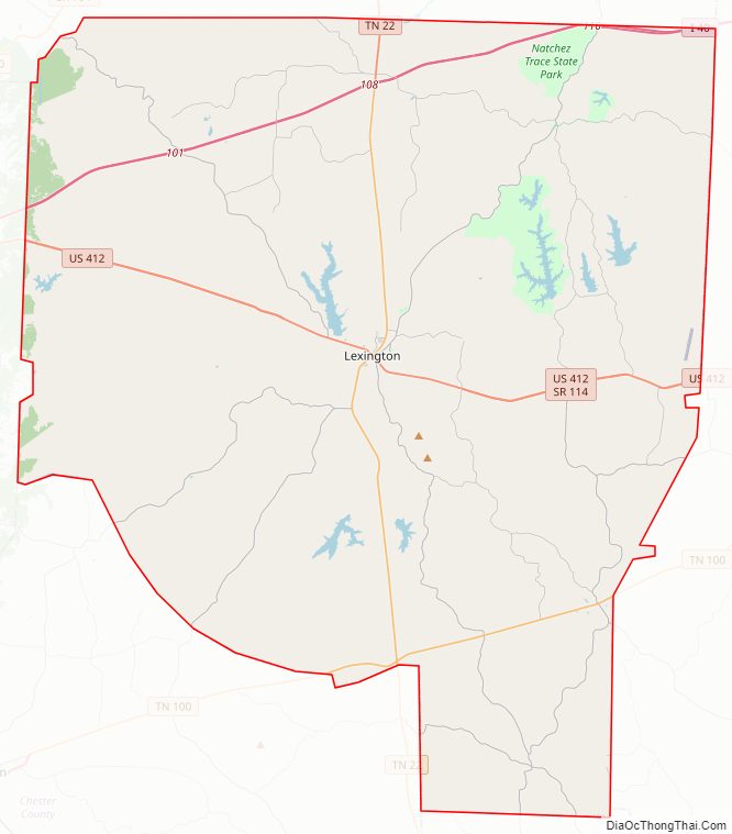
Henderson County Road Map
Geography
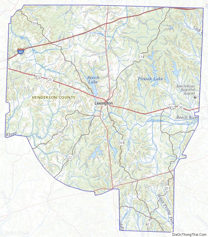
According to the U.S. Census Bureau, the county has a total area of 526 square miles (1,360 km), of which 520 square miles (1,300 km) is land and 5.8 square miles (15 km) (1.1%) is water.
The county straddles the Tennessee Valley Divide, with waters east of the divide flowing into the Tennessee River, and waters west of the divide flowing into the Mississippi River. Primary streams include the Beech River, which flows through the county’s largest lake Beech Lake, and the Forked Deer River.
Adjacent counties
- Carroll County (north)
- Decatur County (east)
- Hardin County (southeast)
- Chester County (southwest)
- Madison County (west)
State protected areas
- Natchez Trace State Forest (part)
- Natchez Trace State Park (part)
Climate and weather
The climate in Henderson County is characterized by relatively high temperatures and evenly distributed precipitation throughout the year. In summer, these regions are largely under the influence of moist, maritime airflow from the western side of the subtropical anticyclonic cells over low-latitude ocean waters. Temperatures are high and can lead to warm, oppressive nights. Summers are usually a bit drier than winters, with much of the rainfall coming from convectional thunderstorm activity; tropical cyclones may also enhance warm-season rainfall. The coldest month is usually quite mild, although freezes are not uncommon, and winter precipitation is derived primarily from frontal cyclones along the polar front.
The Köppen Climate Classification subtype for this climate is “Cfa”. (Humid Subtropical Climate).
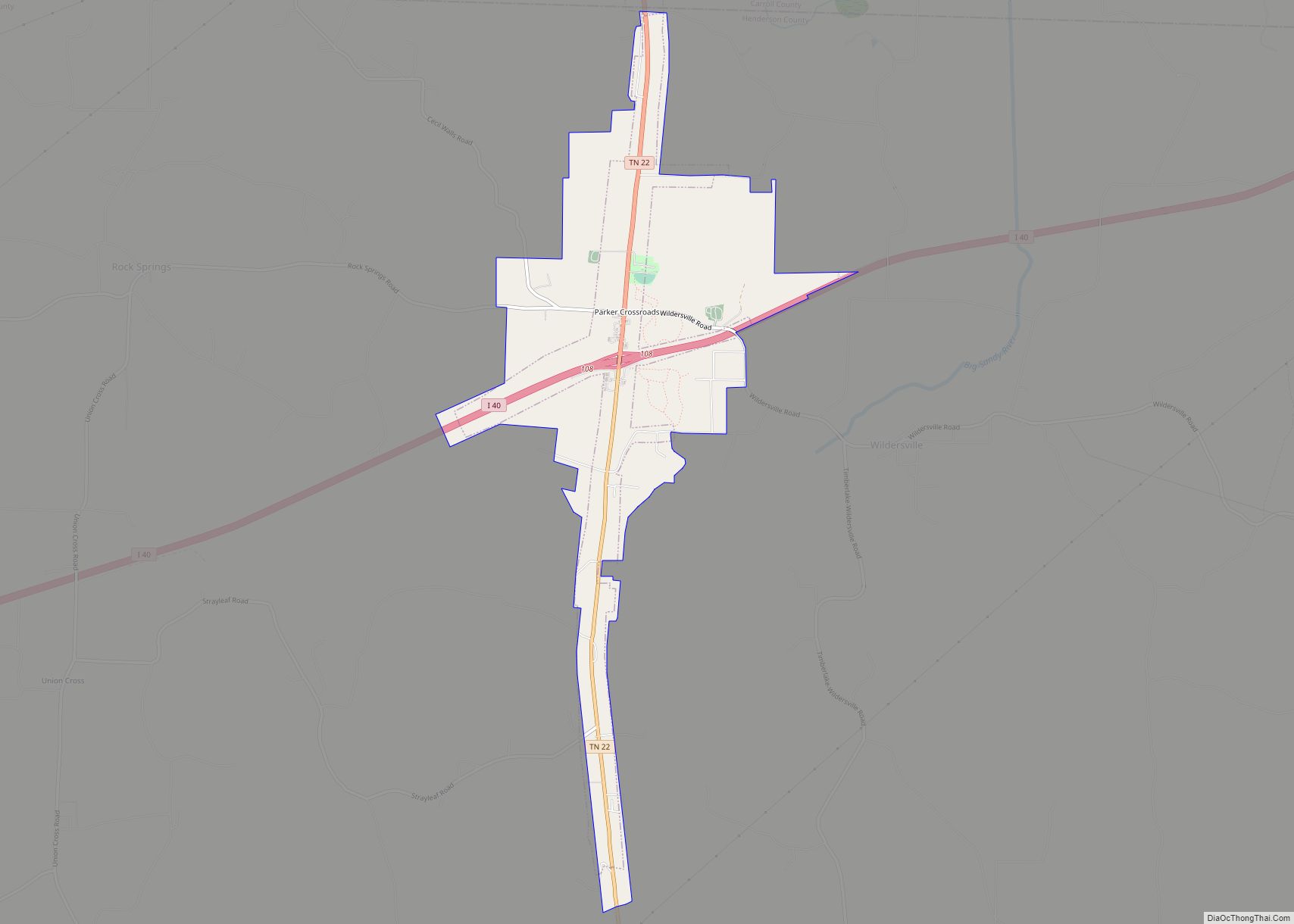
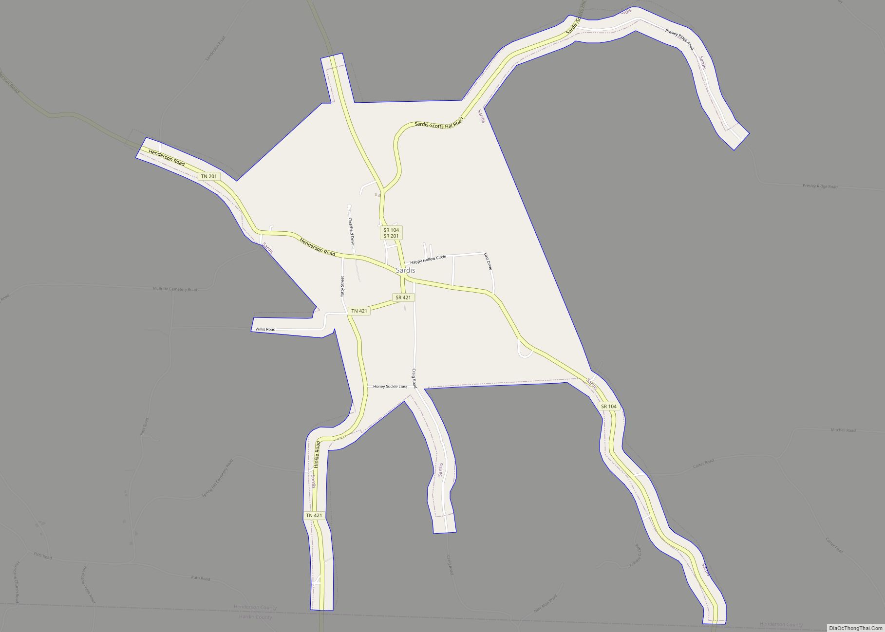
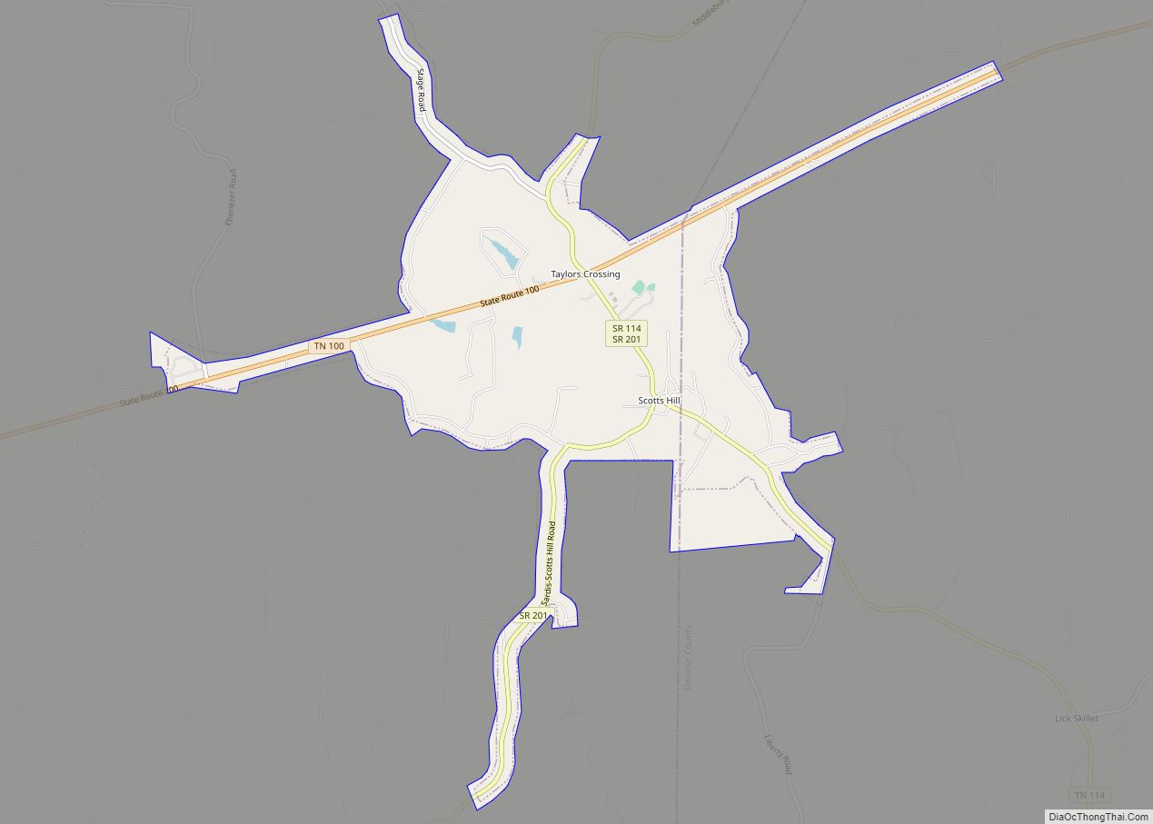
Major Highways
- I-40
- US 70
- US 412
- SR 22
- SR 22A
- SR 104
Henderson County Topographic Map
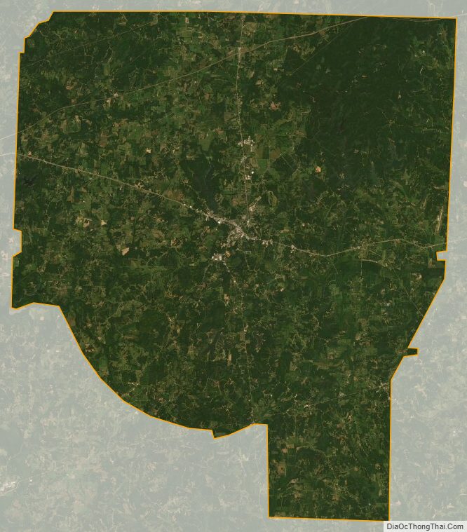
Henderson County Satellite Map
Henderson County Outline Map