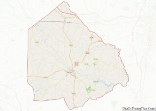
Greene County is a county located in the U.S. state of North Carolina. As of the 2020 census, the population was 20,451. Its county seat is Snow Hill. Greene County overview: Name: Greene County FIPS code: 37-079 State: North Carolina Founded: 1799 Named for: Nathanael Greene Seat: Snow Hill Largest town: Snow Hill Total Area: ... Read more
Map of US Counties
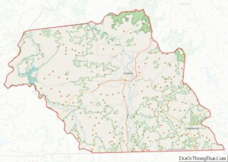
Macon County is a county located in the U.S. state of North Carolina. As of the 2020 census, the population was 37,014. Its county seat is Franklin. The Nantahala River runs through Macon County, flowing into the Little Tennessee River in Swain County. The Nantahala is one of the most popular whitewater rafting destinations in ... Read more
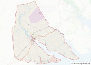
Perquimans County (/pɜːrˈkwɪmənz/) is a county located in the U.S. state of North Carolina. As of the 2020 census, the population was 13,005. Its county seat is Hertford. The county was originally created as Berkeley Precinct. It was renamed Perquimans Precinct around 1684 and gained county status in 1739. Perquimans County is part of the ... Read more
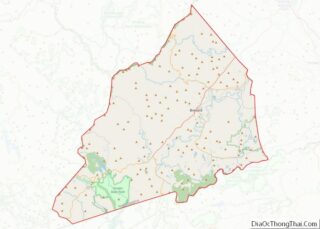
Transylvania County is a county in the U.S. state of North Carolina. As of the 2020 census the population is 32,986. Its county seat is Brevard. Transylvania County comprises the Brevard Micropolitan Statistical Area, which is also included in the Asheville-Brevard, NC CSA combined statistical area. Transylvania County overview: Name: Transylvania County FIPS code: 37-175 ... Read more
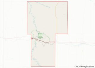
Billings County is a county in the U.S. state of North Dakota. As of the 2020 census, the population was 945, making it the second-least populous county in North Dakota. Its county seat and only incorporated place is Medora. The Territorial legislature authorized Billings County on February 10, 1879, naming it for Northern Pacific Railway ... Read more
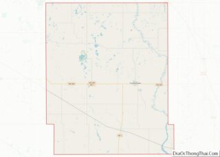
Griggs County is a county in the U.S. state of North Dakota. As of the 2020 census, the population was 2,306. Its county seat is Cooperstown. Griggs County overview: Name: Griggs County FIPS code: 38-039 State: North Dakota Founded: 1881 Named for: Alexander Griggs Seat: Cooperstown Largest city: Cooperstown Total Area: 716 sq mi (1,850 km²) Land Area: ... Read more
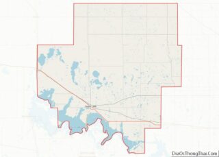
Ramsey County is a county in the U.S. state of North Dakota. As of the 2020 United States Census, the population was 11,605. Its county seat is Devils Lake. Ramsey County overview: Name: Ramsey County FIPS code: 38-071 State: North Dakota Founded: 1873 Named for: Alexander Ramsey Seat: Devils Lake Largest city: Devils Lake Total ... Read more
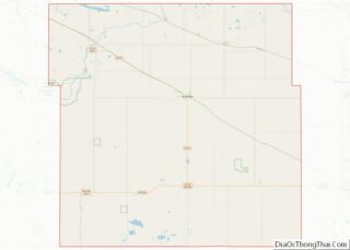
Wells County is a county in the U.S. state of North Dakota. As of the 2020 census, the population was 3,982. Its county seat is Fessenden. Wells County overview: Name: Wells County FIPS code: 38-103 State: North Dakota Founded: 1873 Named for: Edward Payson Wells Seat: Fessenden Largest city: Harvey Total Area: 1,290 sq mi (3,300 km²) Land ... Read more
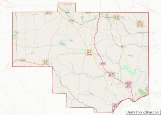
Columbiana County is a county located in the U.S. state of Ohio. As of the 2020 census, the population was 101,877. The county seat is Lisbon and its largest city is Salem. The county name is derived from the explorer of the Americas, Christopher Columbus. Columbiana County comprises the Salem, OH Micropolitan Statistical Area, which ... Read more
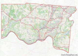
Hamilton County is located in the southwestern corner of the U.S. state of Ohio. As of the 2020 census, the population was 830,639, making it the third-most populous county in Ohio. The county seat and largest city is Cincinnati. The county is named for the first Secretary of the Treasury, Alexander Hamilton. Hamilton County is ... Read more
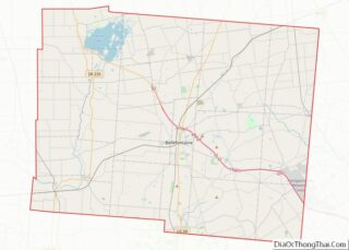
Logan County is a county located in the west central portion of the U.S. state of Ohio. As of the 2020 census, the population was 46,150. The county seat is Bellefontaine. The county is named for Benjamin Logan, who fought Native Americans in the area. Logan County comprises the Bellefontaine, OH Micropolitan Statistical Area, which ... Read more
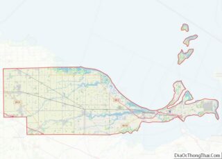
Ottawa County is a county located in the northwestern part of the U.S. state of Ohio. As of the 2020 census, the population was 40,364. Its county seat is Port Clinton. The county is named either for the Ottawa (Odawa) Indigenous peoples who lived there, or for an Indigenous word meaning “trader”. Ottawa County comprises ... Read more
