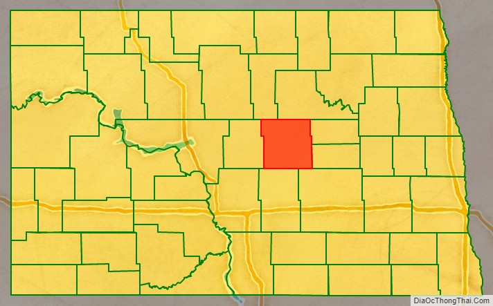
Wells County is a county in the U.S. state of North Dakota. As of the 2020 census, the population was 3,982. Its county seat is Fessenden.
| Name: | Wells County |
|---|---|
| FIPS code: | 38-103 |
| State: | North Dakota |
| Founded: | 1873 |
| Named for: | Edward Payson Wells |
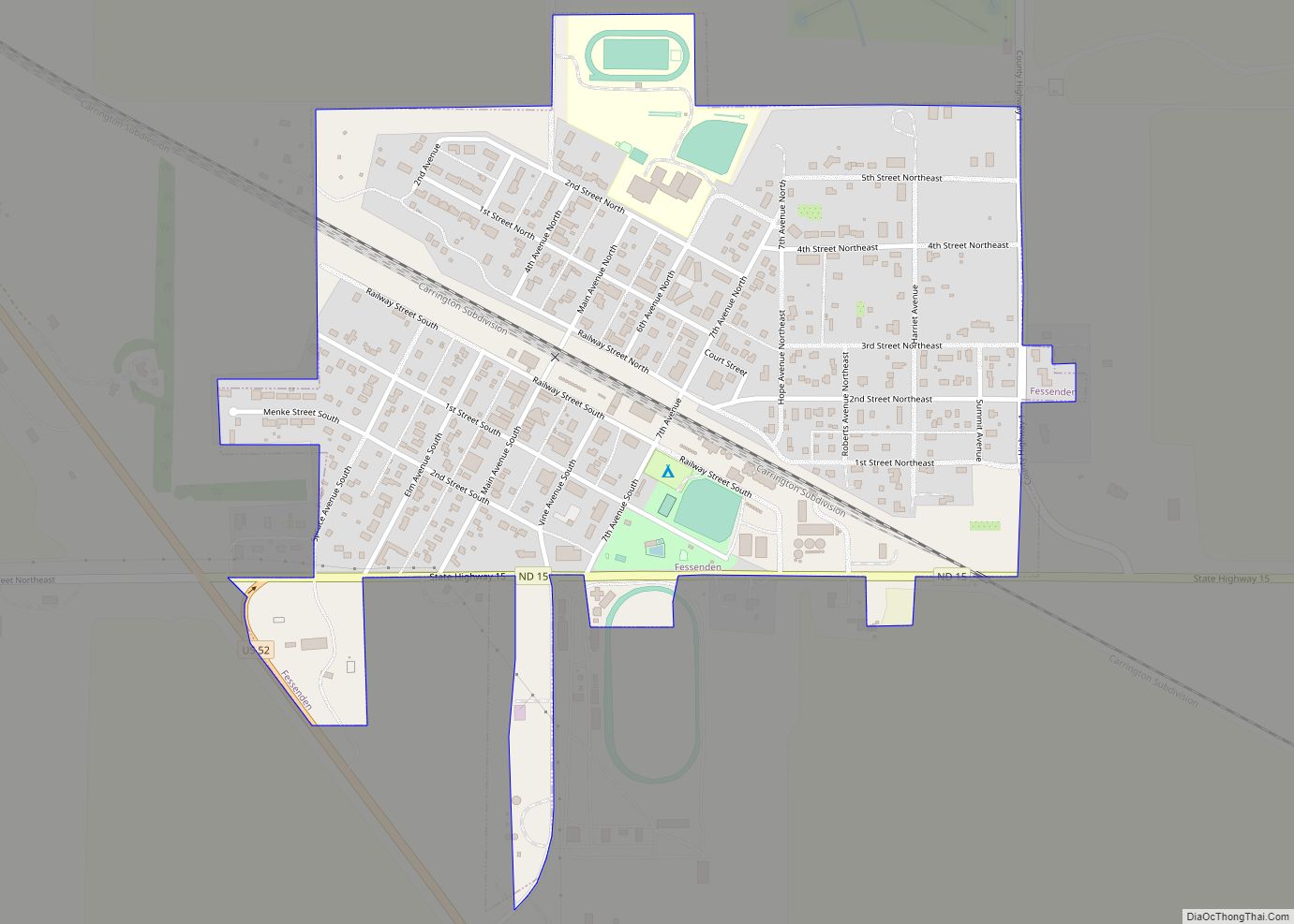
| Seat: | Fessenden |
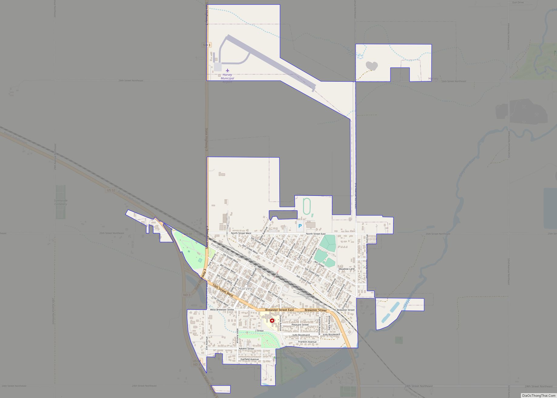
| Largest city: | Harvey |
| Total Area: | 1,290 sq mi (3,300 km²) |
| Land Area: | 1,271 sq mi (3,290 km²) |
| Total Population: | 3,982 |
| Population Density: | 3.1/sq mi (1.2/km²) |
| Time zone: | UTC−6 (Central) |
| Summer Time Zone (DST): | UTC−5 (CDT) |
| Website: | www.wellscountynd.com |
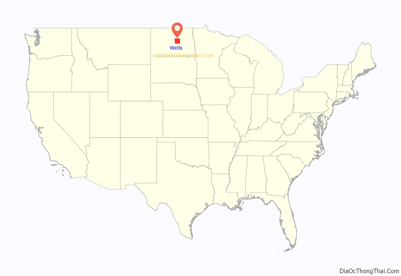
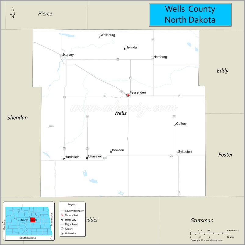
Wells County location map. Where is Wells County?
History
The Dakota Territory legislature created the county on January 4, 1873. Its government was not organized at that time, nor was it attached for administrative or judicial purposes to another county. It was named Gingras County; this name continued until February 26, 1881, when the name was changed to Wells County, named for Edward Payson Wells, a Jamestown banker, early promoter of the James River Valley, and member of the legislature in 1881.
The county government was organized on August 28, 1884, with Sykeston as the county seat. In 1894 the county seat was transferred to Fessendon. The county boundary was altered in 1883 when a parcel was transferred to Foster County, and again in 1885 when it received land from Foster County. Its boundary has remained unchanged since 1885.
The center of population of North Dakota is located in the extreme southeastern corner of Wells County, about 9 miles (14 km) southeast of Sykeston.
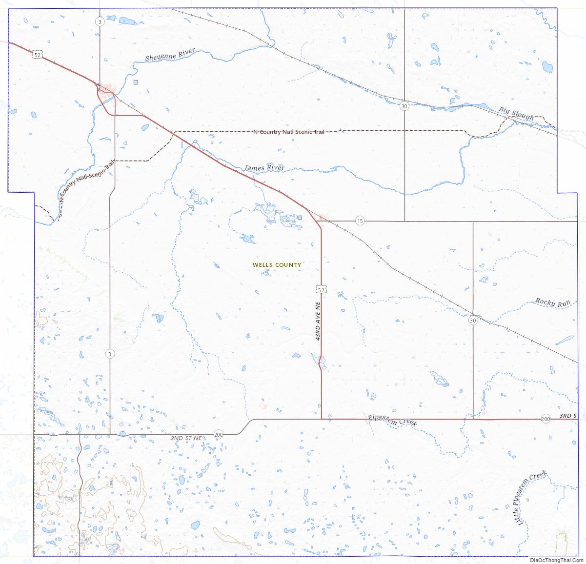
Wells County Road Map
Geography
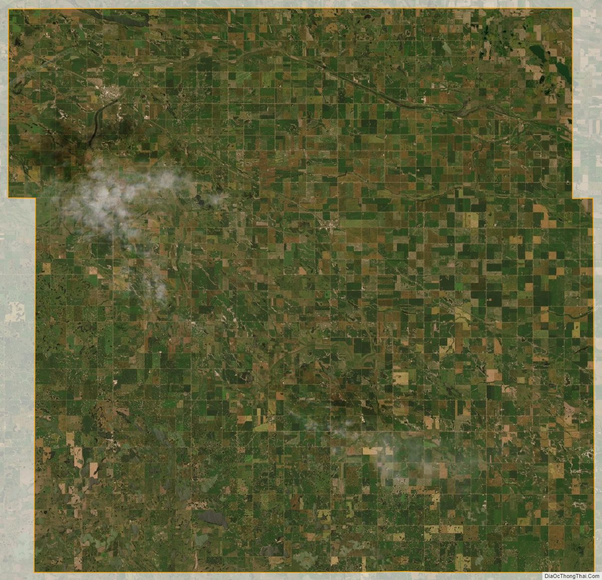
The James River flows east-northeasterly through Wells County. The county terrain consists of rolling hills with occasional protuberances, dotted with lakes and ponds in its SW portion. The terrain slopes to the east and north; its highest point is a protuberance near the southwestern corner, at 2,182′ (665m) ASL. Ihe county has a total area of 1,290 square miles (3,300 km), of which 1,271 square miles (3,290 km) is land and 19 square miles (49 km) (1.5%) is water.
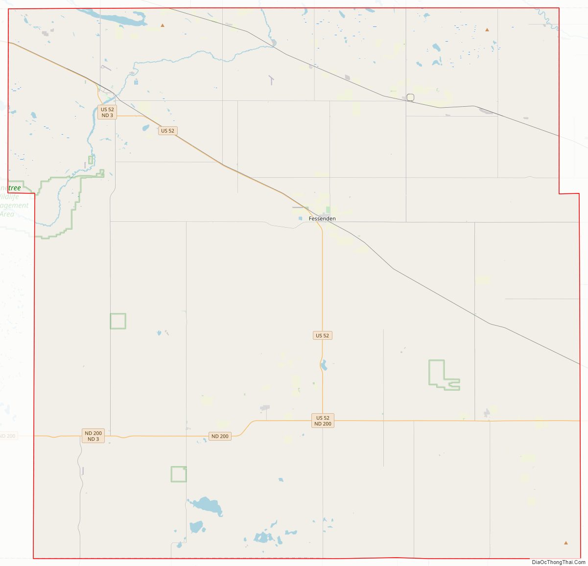
Major highways
- U.S. Highway 52
- North Dakota Highway 3
- North Dakota Highway 15
- North Dakota Highway 30
- North Dakota Highway 91
- North Dakota Highway 200
- County 1
- County 5
- County 52
Adjacent counties
- Benson County – north
- Eddy County – east
- Foster County – east
- Stutsman County – southeast
- Kidder County – south
- Sheridan County – west
- Pierce County – northwest
Protected areas
Source:
- Karl T. Frederick State Game Management Area
- Upland State Game Refuge
Lakes
Source:
- Big Slough
- Crystal Lake
- Egg Lake
- Lake Ontario
- Silver Lake
- Sorenson Lake
Wells County Topographic Map
Wells County Satellite Map
Wells County Outline Map