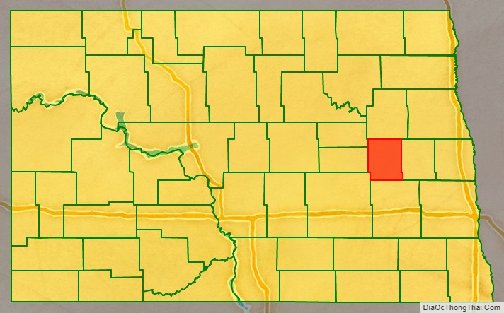
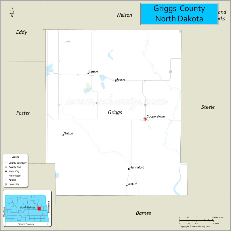
Griggs County is a county in the U.S. state of North Dakota. As of the 2020 census, the population was 2,306. Its county seat is Cooperstown.
| Name: | Griggs County |
|---|---|
| FIPS code: | 38-039 |
| State: | North Dakota |
| Founded: | 1881 |
| Named for: | Alexander Griggs |
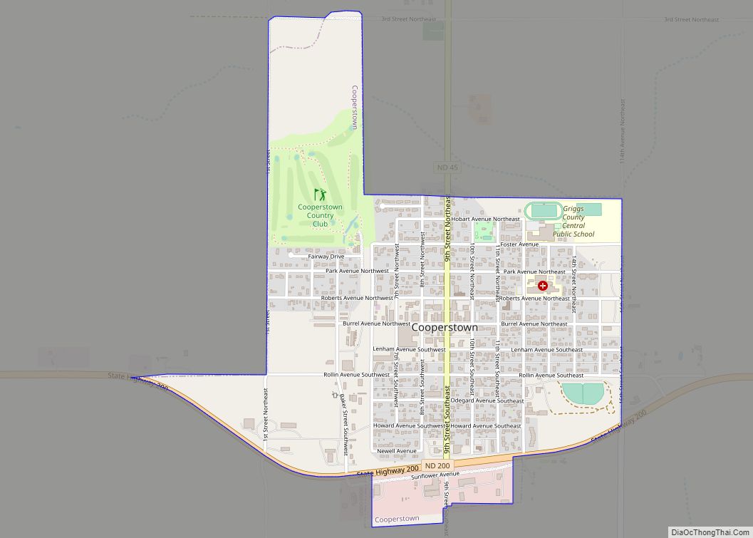
| Seat: | Cooperstown |
| Largest city: | Cooperstown |
| Total Area: | 716 sq mi (1,850 km²) |
| Land Area: | 709 sq mi (1,840 km²) |
| Total Population: | 2,306 |
| Population Density: | 3.2/sq mi (1.2/km²) |
| Time zone: | UTC−6 (Central) |
| Summer Time Zone (DST): | UTC−5 (CDT) |
| Website: | www.griggscountynd.gov |
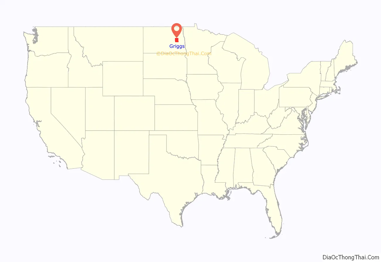
Griggs County location map. Where is Griggs County?
History
The county was created by the Dakota Territory legislature on February 18, 1881, with territories partitioned from Barnes, Foster, and Traill counties. It was not organized at that time, nor was it attached to another county for administrative or judicial purposes. It was named for Alexander Griggs, a steamboat captain who is credited with founding Grand Forks.
The county organization was effected on June 16, 1882. Its boundary was altered in 1883 when Steele County was partitioned off; it has retained its present boundary since then.
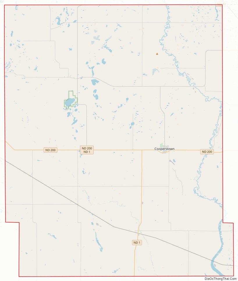
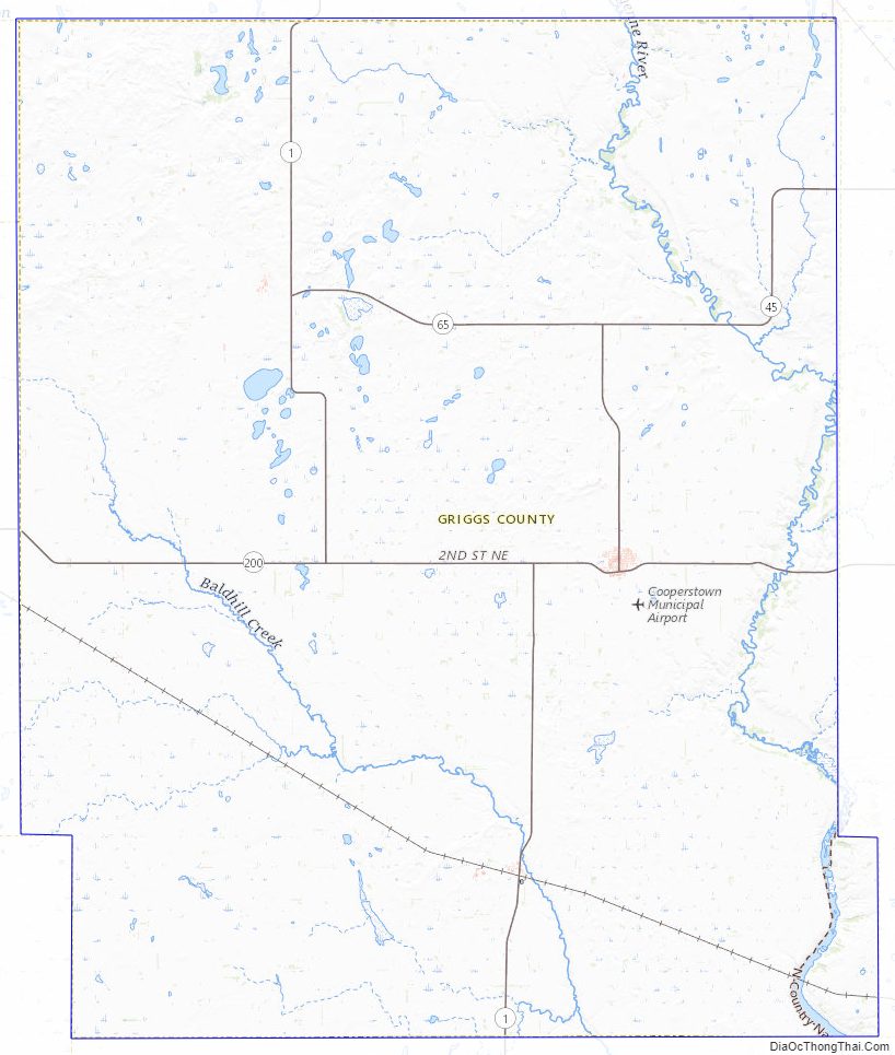
Griggs County Road Map
Geography
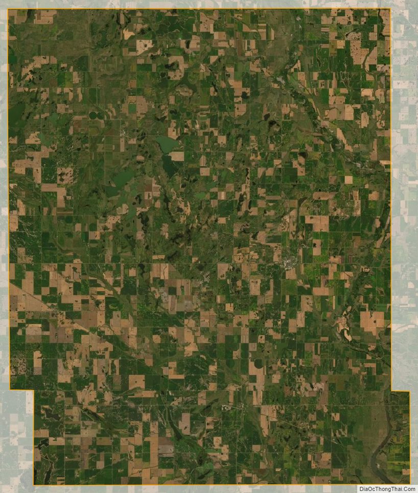
The Sheyenne River flows southward through the east-central part of Griggs County, discharging into Lake Ashtabula at the county’s SE corner. The county terrain consists of low rolling hills, dotted with lakes and ponds across its central part, mostly devoted to agriculture. The terrain slopes to the south and east; its highest point is a hill at its NW corner, at 1,562′ (476m) ASL. The county has a total area of 716 square miles (1,850 km), of which 709 square miles (1,840 km) is land and 7.6 square miles (20 km) (1.1%) is water. It is the third-smallest county in North Dakota by land area and fourth-smallest by total area.
Major highways
- North Dakota Highway 1
- North Dakota Highway 45
- North Dakota Highway 65
- North Dakota Highway 200
Adjacent counties
- Nelson County (north)
- Steele County (east)
- Barnes County (south)
- Stutsman County (southwest)
- Foster County (west)
- Eddy County (northwest)
National protected area
- Sibley Lake National Wildlife Refuge
Lakes
- Hoot-E-Too Lake
- Jones Lake
- Lake Addie
- Lake Ashtabula (part)
- Lake Five
- Lake Jessie
- Lake Norway
- Lake Silver
- Long Lake
- Phelps Lake
- Pickerel Lake (part)
- Plum Lake
- Red Willow Lake
- Round Lake
- Rush Lake
- Sibley Lake
Griggs County Topographic Map
Griggs County Satellite Map
Griggs County Outline Map