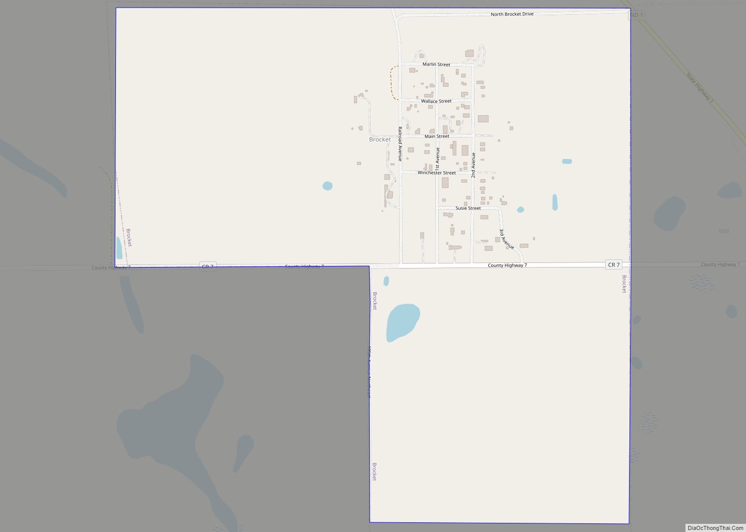
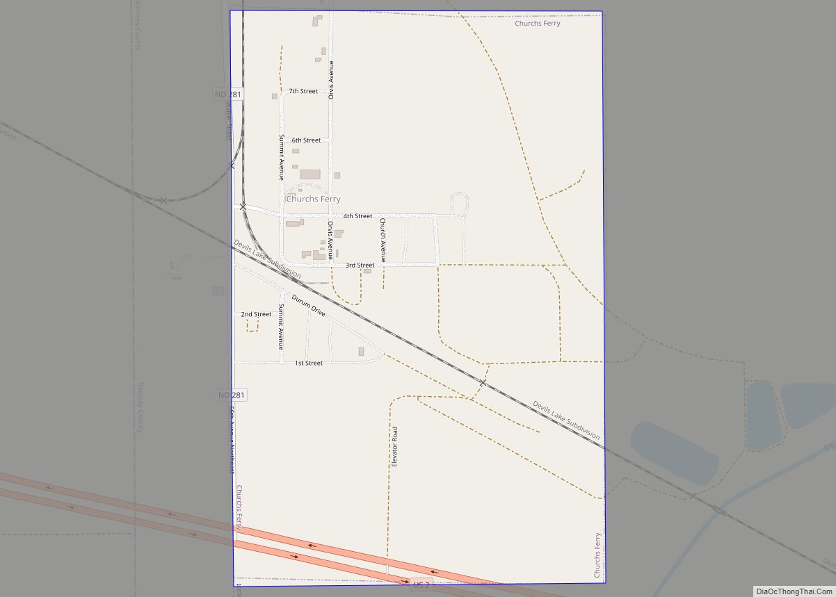
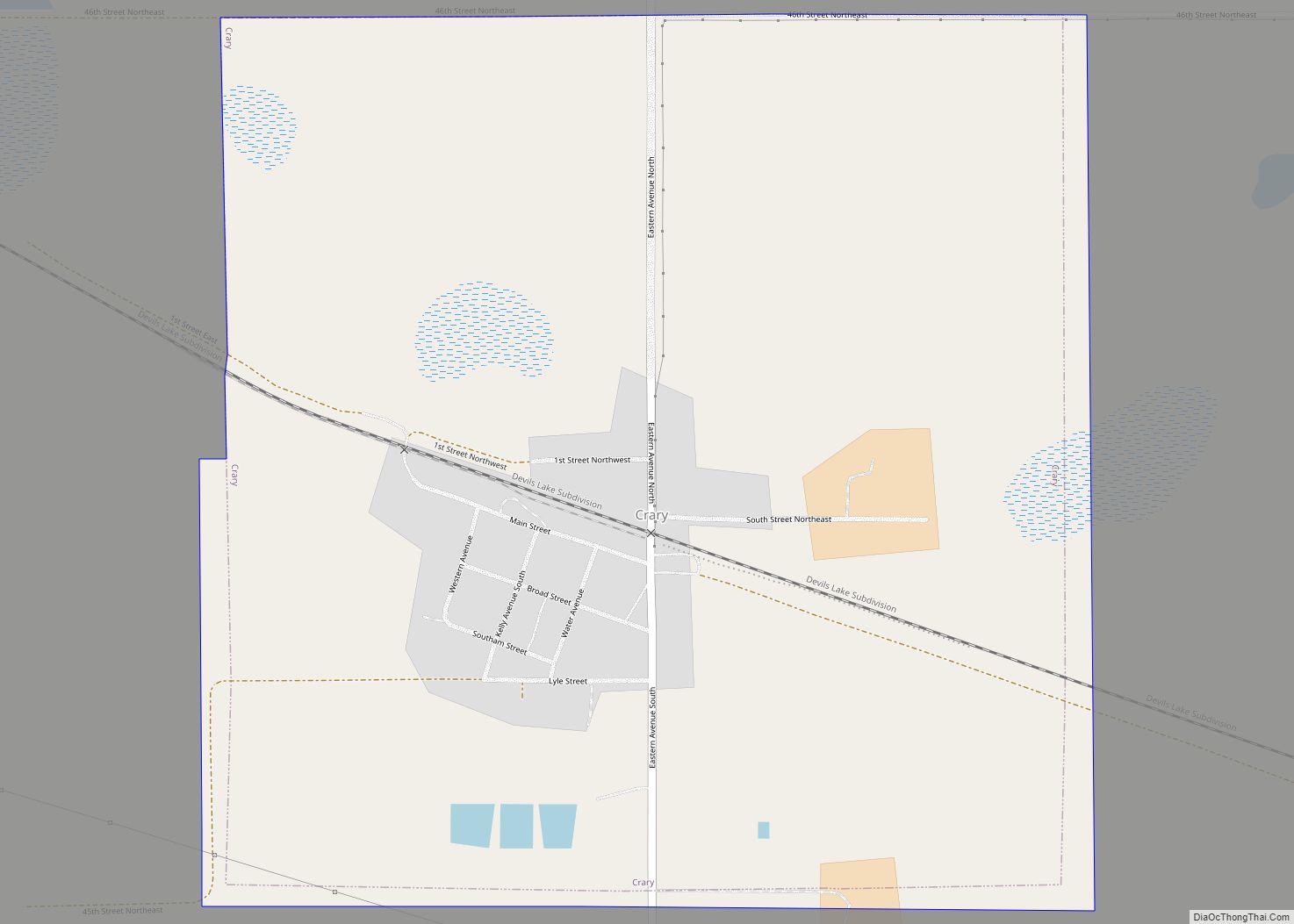
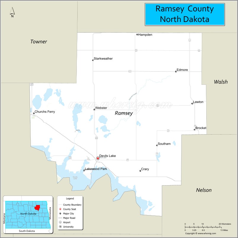
Ramsey County is a county in the U.S. state of North Dakota. As of the 2020 United States Census, the population was 11,605. Its county seat is Devils Lake.
| Name: | Ramsey County |
|---|---|
| FIPS code: | 38-071 |
| State: | North Dakota |
| Founded: | 1873 |
| Named for: | Alexander Ramsey |
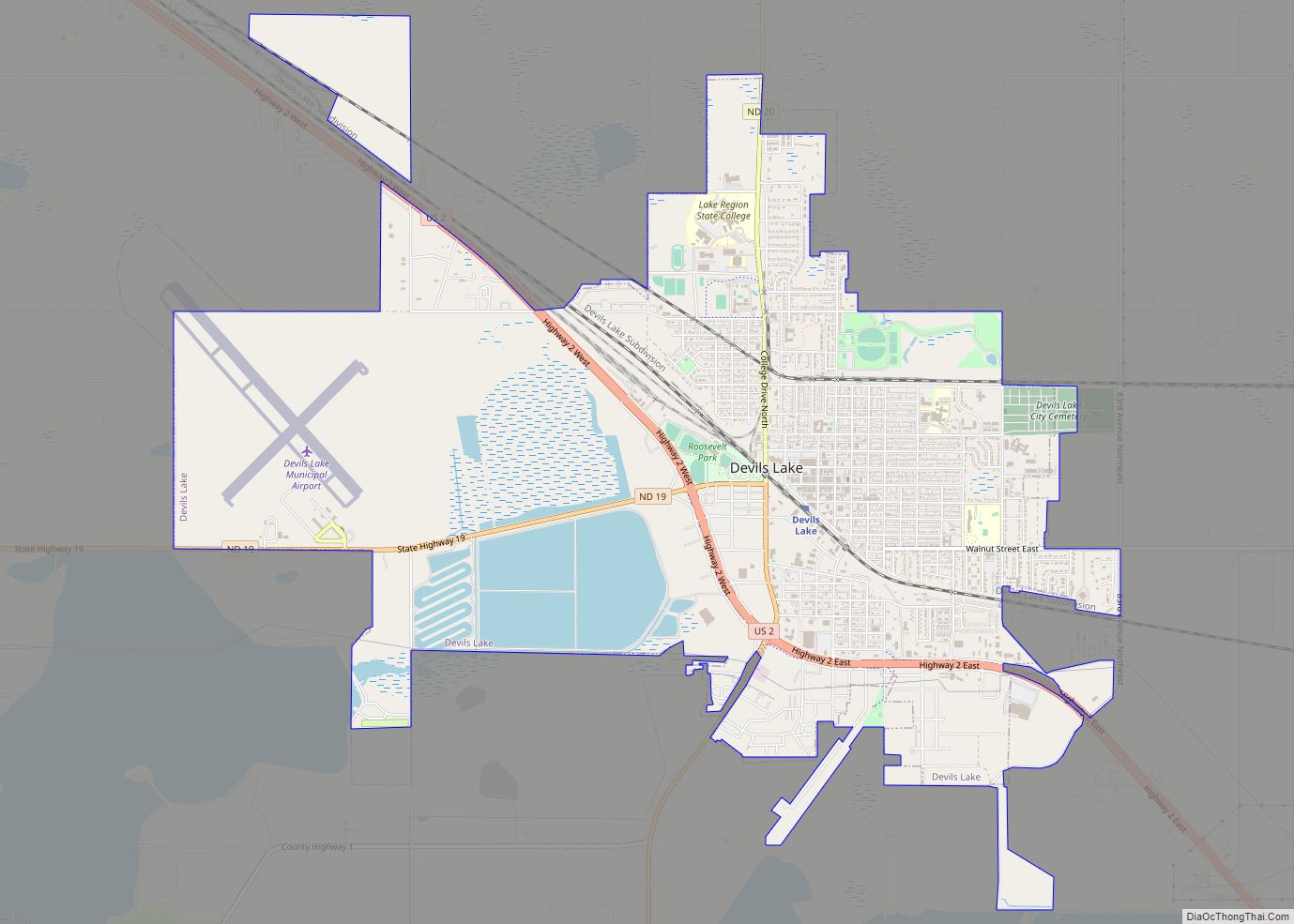
| Seat: | Devils Lake |
| Largest city: | Devils Lake |
| Total Area: | 1,301 sq mi (3,370 km²) |
| Land Area: | 1,187 sq mi (3,070 km²) |
| Total Population: | 11,605 |
| Population Density: | 8.9/sq mi (3.4/km²) |
| Time zone: | UTC−6 (Central) |
| Summer Time Zone (DST): | UTC−5 (CDT) |
| Website: | www.co.ramsey.nd.us |
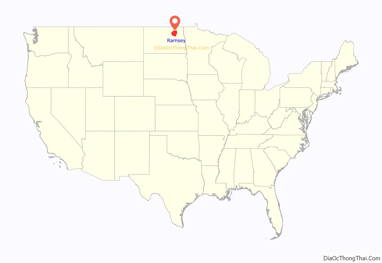
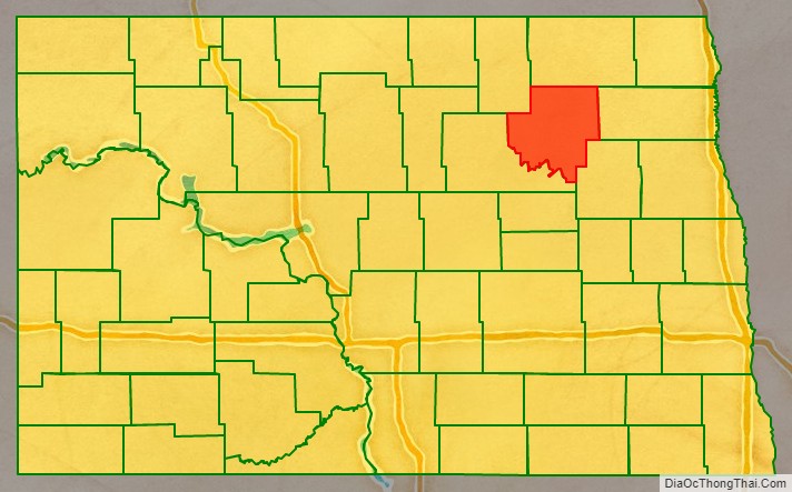
Ramsey County location map. Where is Ramsey County?
History
The Dakota Territory legislature created the county on January 4, 1873, with areas partitioned from Pembina County. The county was named for Alexander Ramsey, a U.S. Senator from Minnesota. The county government was not completed at that time, and the county was not attached to another county for administrative or judicial purposes. This situation continued until January 25, 1883, when the county government was effected.
The county’s boundaries were altered twice in March 1883, twice more in 1885, and in 1890. Its present boundaries have remained unchanged since 1890.
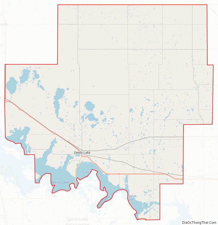
Ramsey County Road Map
Geography
The southwest boundary of Ramsey County is defined by Devils Lake. The county terrain consists of rolling hills, dotted with lakes and ponds. The area is largely devoted to agriculture. The terrain slopes to the lake, with its highest point at the NE county corner, at 1,631′ (497m) ASL. The county has a total area of 1,301 square miles (3,370 km), of which 1,187 square miles (3,070 km) is land and 114 square miles (300 km) (8.8%) is water.
Major highways
- U.S. Highway 2
- U.S. Highway 281
- North Dakota Highway 1
- North Dakota Highway 17
- North Dakota Highway 19
- North Dakota Highway 20
- North Dakota Highway 57
Adjacent counties
- Cavalier County – north
- Walsh County – east
- Nelson County – southeast
- Benson County – southwest
- Towner County – northwest
National protected areas
- Lake Alice National Wildlife Refuge (part)
- Silver Lake National Wildlife Refuge (part)
Lakes
- Chain Lake
- Creel Bay
- Dry Lake
- East Devils Lake
- Lake Alice
- Lake Irvine
- Mikes Lake
- Morrison Lake
- Sixmile Bay
- Sweetwate Lake
Ramsey County Topographic Map
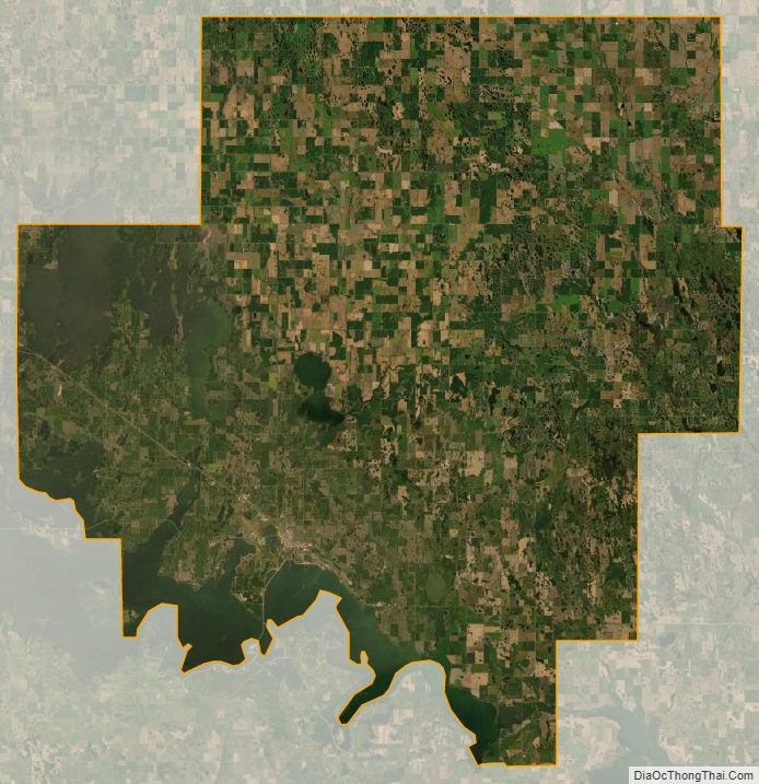
Ramsey County Satellite Map
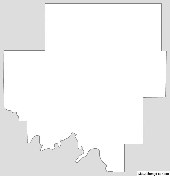
Ramsey County Outline Map