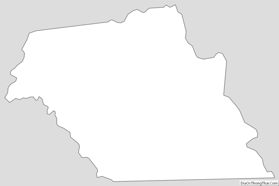
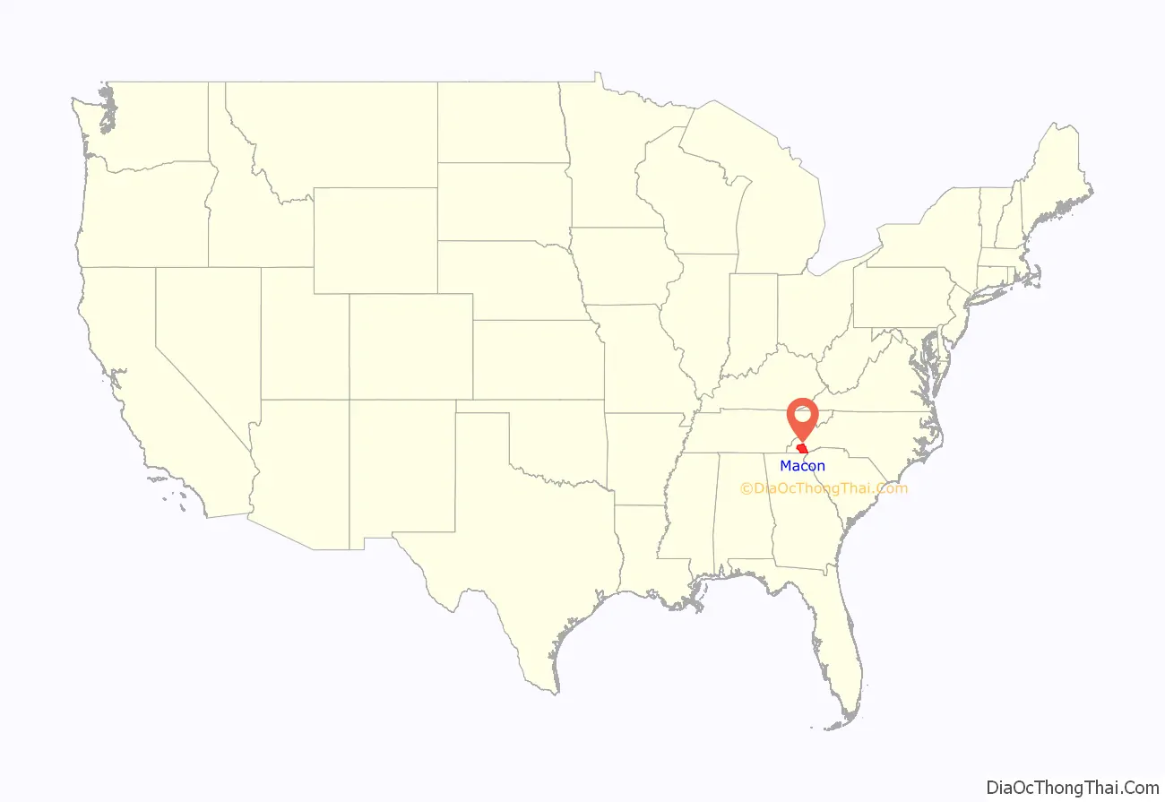
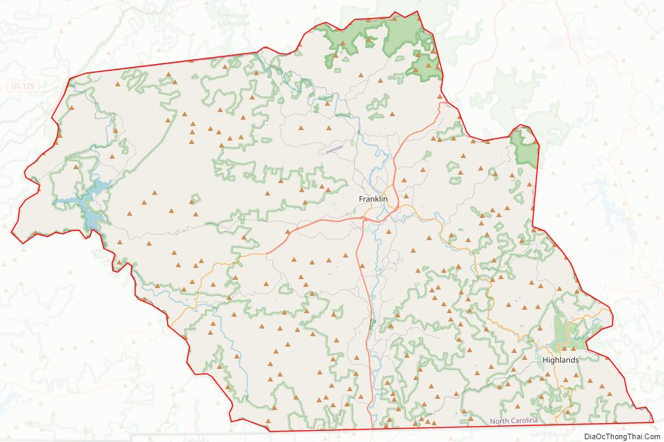
Macon County is a county located in the U.S. state of North Carolina. As of the 2020 census, the population was 37,014. Its county seat is Franklin.
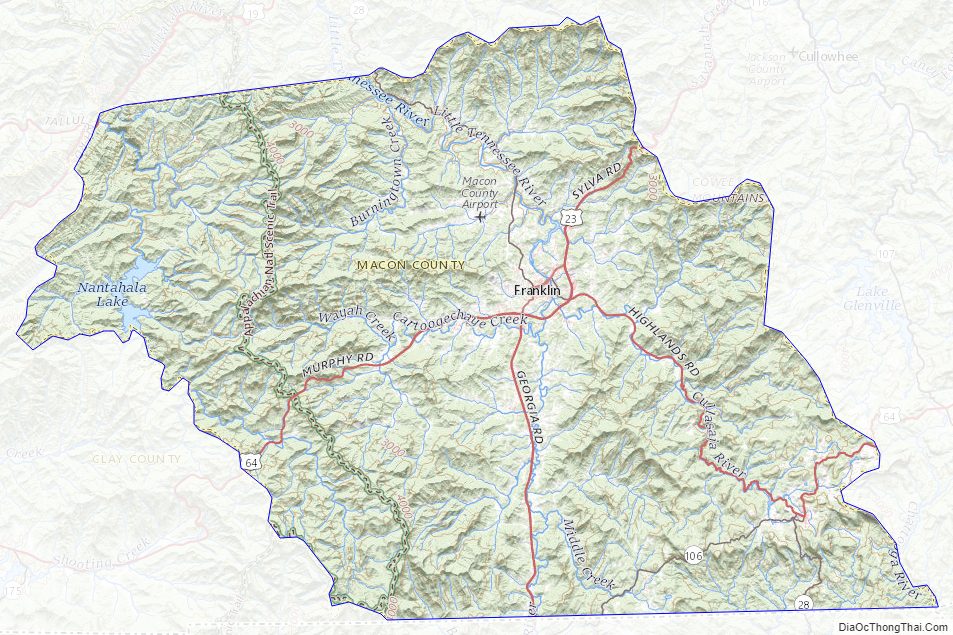
The Nantahala River runs through Macon County, flowing into the Little Tennessee River in Swain County. The Nantahala is one of the most popular whitewater rafting destinations in the nation.
| Name: | Macon County |
|---|---|
| FIPS code: | 37-113 |
| State: | North Carolina |
| Founded: | 1828 |
| Named for: | Nathaniel Macon |
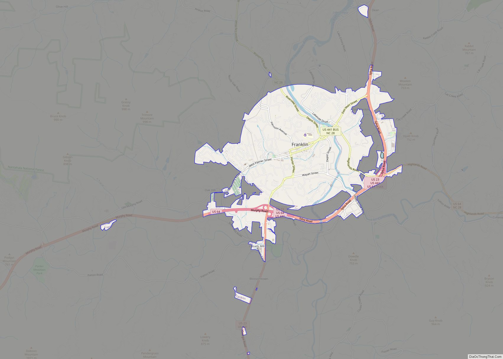
| Seat: | Franklin |
| Largest town: | Franklin |
| Total Area: | 520 sq mi (1,300 km²) |
| Land Area: | 516 sq mi (1,340 km²) |
| Total Population: | 37,014 |
| Population Density: | 72.8/sq mi (28.1/km²) |
| Time zone: | UTC−5 (Eastern) |
| Summer Time Zone (DST): | UTC−4 (EDT) |
| Website: | www.maconnc.org |
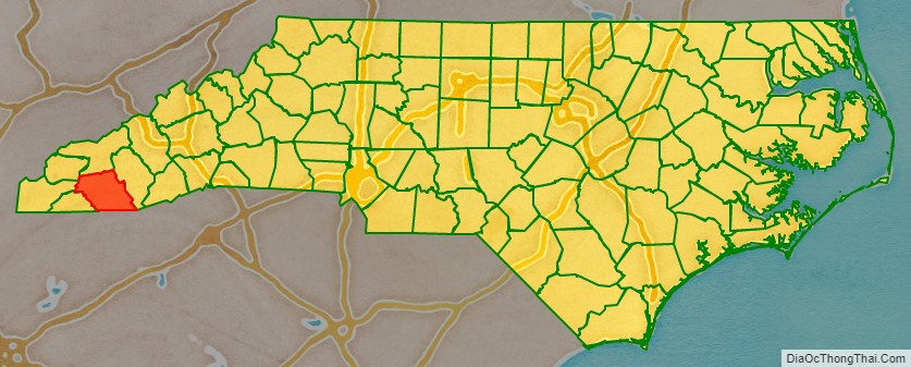
Macon County location map. Where is Macon County?
History
The river valleys were long occupied by indigenous peoples, some of whom built earthwork mounds about 1000 CE. Some are still visible in this region. It was part of the homeland of the historic Cherokee people, who had towns throughout the river valleys. The Cherokee in Western North Carolina are known as the Eastern Band of Cherokee Indians, a federally recognized tribe.
The county was formed in 1828 from the western part of Haywood County. It was named for Nathaniel Macon, who represented North Carolina in the United States House of Representatives from 1791 to 1815 (serving as Speaker of the House from 1801 to 1807), and in the United States Senate from 1815 to 1828.
In 1839 the western part of Macon County became Cherokee County. In 1851 parts of Macon County and Haywood County were combined to form Jackson County.
Macon County Road Map
Geography
According to the U.S. Census Bureau, the county has a total area of 520 square miles (1,300 km), of which 516 square miles (1,340 km) is land and 4.1 square miles (11 km) (0.8%) is water.
Of the land in Macon County, 239.31 square miles (620 km) (46.1%) are federal lands that lie within the Nantahala National Forest and are administered by the United States Forest Service. Of the 239.31 square miles (620 km) of USFS land, 71.56 square miles (185 km) lie in the Highlands Ranger District and the remaining 167.75 square miles (434 km) lie in the Wayah Ranger District. The county’s largest natural water supply is the Cullasaja River. The Nantahala River also runs through the county, and flows into the Little Tennessee River.
Waterfalls
Cullasaja Falls is a waterfall in Southwestern North Carolina east of Franklin. The waterfall is located on the Cullasaja River in the Nantahala National Forest and is part of the Mountain Waters Scenic Byway. Cullasaja comes from a Cherokee word meaning “honey locust place.” The falls is the last major waterfall on the Cullasaja River. The falls is a long cascade over the course of 0.2 miles (300 m). The height of the falls is given as 200 ft (61 m) in Kevin Adams’ book, North Carolina Waterfalls and 250 ft (77 m) by NCWaterfalls.com. Google Earth gives a height (based on the elevation of the water at the top of the falls and the elevation of the plunge pool at the bottom of the falls) of 137 ft (42 m).
The falls can be glimpsed from vehicles on the road; however, getting a better view of the falls is not easy. The falls are located beside of a series of blind curves on Highway 64 with sheer rock cliffs above and below the road. There is only one small pull-off near the falls, but walking on the road puts visitors in danger of being hit by a passing vehicle. This water fall is just up the road of the Cullasaja River RV Park.
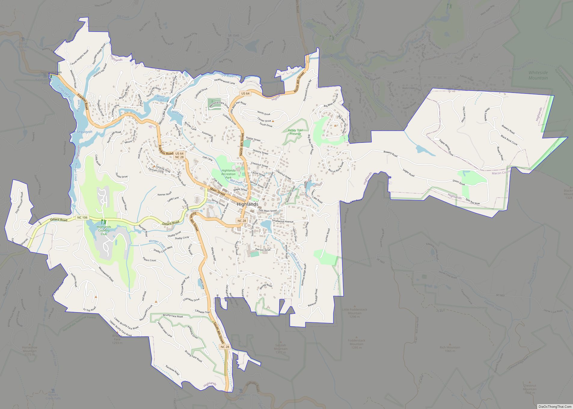
Dry Falls, also known as Upper Cullasaja Falls, is a 65-foot (20.1 m) waterfall located in the Nantahala National Forest, northwest of Highlands, North Carolina. Dry Falls flows on the Cullasaja River through the Nantahala National Forest. It is part of a series of waterfalls on an 8.7-mile (14.0 km) stretch of the river that eventually ends with Cullasaja Falls. Dry Falls flows over an overhanging bluff that allows visitors to walk up under the falls and remain relatively dry when the water flow is low, hence its name. Visitors will get wet if the water flow is high. The falls has been called Dry Falls for a long time, but has also been known by such names as High Falls, Pitcher Falls, and Cullasaja Falls.
Dry Falls is located on the side of U.S. Highway 64 15.7 miles (25 km) southeast of Franklin, North Carolina and 3.1 miles (5 km) north of Highlands, North Carolina. There is a parking area on the side of the road, where visitors can park before walking the short path with stairs to the falls. Significant improvements to the parking area and trail were completed by the United States Forest Service in 2009.
Bridal Veil Falls is a 45-foot (20.1 m) waterfall located in the Nantahala National Forest, southeast of Franklin. With a short curve of roadway located behind the falls, it has the distinction of being the only waterfall in the state that one can drive a vehicle under. Bridal Veil Falls flows on a tributary of the Cullasaja River through the Nantahala National Forest. The falls flows over an overhanging bluff; visitors may walk behind the falls and remain dry when the water flow is low. During periods of drought, the stream may nearly dry up, though visitors will get wet if the water flow is moderate or high. To avoid this, visitors may drive behind the falls.
Bridal Veil Falls is located on the side of U.S. Highway 64 16.5 miles (27 km) southeast of Franklin and 2.3 miles (4 km) north of Highlands. Highway 64 originally used the curve of roadway behind the falls exclusively so that all traffic went behind them; however, this caused problems with icing of the roadway during freezing weather. Hwy. 64 has since been re-routed around the front of the falls. There is a parking area on the side of the road, where visitors can park and view the falls as well. In 2003, a massive boulder slid off the left side of the falls, blocking that side of the drive-under completely. However, in July 2007, that boulder was removed by a local developer. The road under the falls is now free of obstruction.
Quarry Falls is a small waterfall (or perhaps large rapid in high water) located beside US Hwy. 64 southeast of Franklin. Known to locals as “Bust Your Butt,” it is best known for the large, deep pool at the bottom, and is a popular place for swimming during warm weather.
National protected areas
- Ellicott Rock Wilderness (part)
- Nantahala National Forest (part)
State and local protected areas/sites
- Euchella Site
- Franklin Town Square
- Nantahala Game Lands
- Tessentee Bottomland Preserve
Major water bodies
- Beech Creek
- Blazed Creek
- Buck Creek
- Cartoogechaye Creek
- Chattooga River
- Cullasaja River
- Little Laurel Creek
- Little Tennessee River
- Middle Creek
- Nantahala Lake
- Nantahala River
- Queens Creek
- Tallulah River
- Tessentee Creek
Adjacent counties
- Swain County – north
- Jackson County – east
- Oconee County, South Carolina – southeast
- Rabun County, Georgia – south
- Clay County – southwest
- Cherokee County – west
- Graham County – northwest
Major highways
- US 23
- US 64
- US 64 Truck
- US 441
- US 441 Bus.
- NC 28
- NC 106
Major infrastructure
- Macon County Airport
Macon County Topographic Map
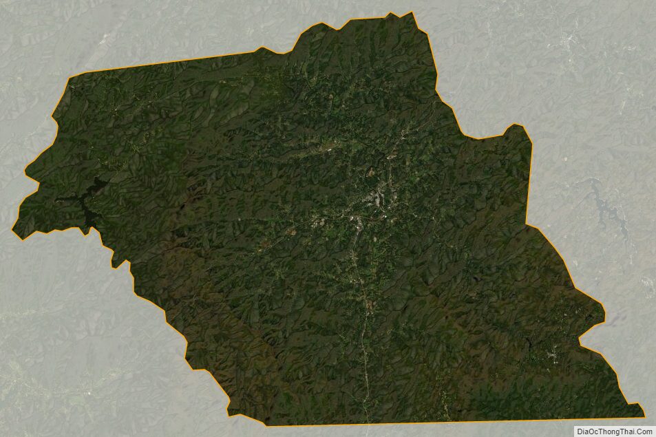
Macon County Satellite Map
Macon County Outline Map