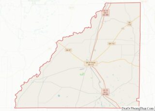
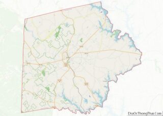
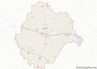
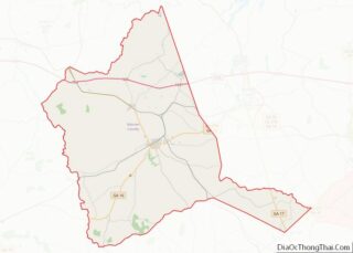
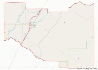
Map of Johnston County

Map of Johnston County, North Carolina

Johnston County is a county located in the U.S. state of North Carolina. As of the 2020 census, the population was 215,999. Its county seat is Smithfield. Johnston County is included in the Raleigh, NC Metropolitan Statistical Area, which is also included in the Raleigh–Durham–Chapel Hill, NC Combined Statistical Area, which has a population of … Read more

Map of Onslow County

Map of Onslow County, North Carolina

Onslow County is a county located in the U.S. state of North Carolina. As of the 2020 census, the population was 204,576. Its county seat is Jacksonville. The county was created in 1734 as Onslow Precinct and gained county status in 1739. Onslow County comprises the Jacksonville, NC Metropolitan Statistical Area. The southern border is … Read more

Map of Scotland County

Map of Scotland County, North Carolina

Scotland County is a county located in the southern part of the U.S. state of North Carolina and is its smallest county by area. Its county seat is and largest city is Laurinburg. The county was formed in 1899 from part of Richmond County and named in honor of the Scottish settlers who occupied the … Read more

Map of Yadkin County

Map of Yadkin County, North Carolina

Yadkin County is located in the U.S. state of North Carolina. As of the 2020 census, the population was 37,214. Its county seat is Yadkinville. Yadkin County is included in the Winston-Salem, NC Metropolitan Statistical Area, which is also included in the Greensboro-Winston-Salem-High Point, NC Combined Statistical Area. Yadkin County overview: Name: Yadkin County FIPS … Read more

Map of Emmons County

Map of Emmons County, North Dakota

Emmons County is a county in the U.S. state of North Dakota. As of the 2010 census, the population was 3,301. Its county seat has been Linton since 1899. Emmons County overview: Name: Emmons County FIPS code: 38-029 State: North Dakota Founded: 1879 Seat: Linton Largest city: Linton Total Area: 1,555 sq mi (4,030 km²) Land Area: 1,510 sq mi … Read more

Map of Mountrail County

Map of Mountrail County, North Dakota

Mountrail County is a county in the northwestern part of North Dakota, United States. As of the 2020 census, the population was 9,809. Its county seat is Stanley. The county was originally created in 1873, then removed in 1892, annexed by Ward County. It was re-created and organized in 1909. Mountrail County overview: Name: Mountrail … Read more

Map of Stutsman County

Map of Stutsman County, North Dakota

Stutsman County is a county in the U.S. state of North Dakota. As of the 2020 census, the population was 21,593. Its county seat is Jamestown. The Jamestown, North Dakota Micropolitan Statistical Area includes all of Stutsman County. Stutsman County overview: Name: Stutsman County FIPS code: 38-093 State: North Dakota Founded: 1873 Named for: Enos … Read more

Map of Carroll County

Map of Carroll County, Ohio

Carroll County is a county located in the state of Ohio. As of the 2020 census, the population was 26,721. Its county seat is Carrollton, while its largest village is Minerva. It is named for Charles Carroll of Carrollton, the last surviving signer of the Declaration of Independence. Carroll County is part of the Canton-Massillon, … Read more

Map of Fulton County

Map of Fulton County, Ohio

Fulton County overview: Name: Fulton County FIPS code: 39-051 State: Ohio Founded: April 1, 1850 Named for: Robert Fulton Seat: Wauseon Largest city: Wauseon Total Area: 407 sq mi (1,050 km²) Land Area: 405 sq mi (1,050 km²) Total Population: 42,713 Population Density: 100/sq mi (40/km²) Time zone: UTC−5 (Eastern) Summer Time Zone (DST): UTC−4 (EDT) Website: www.fultoncountyoh.com Fulton County location map. … Read more

Map of Knox County

Map of Knox County, Ohio

Knox County is a county located in the U.S. state of Ohio. As of the 2020 census, the population was 62,721. Its county seat is Mount Vernon. The county is named for Henry Knox, an officer in the American Revolutionary War who was later the first Secretary of War. Knox County comprises the Mount Vernon, … Read more

Map of Montgomery County

Map of Montgomery County, Ohio

Montgomery County is located in the southwestern portion of the U.S. state of Ohio. As of the 2020 census, the population was 537,309, making it the fifth-most populous county in Ohio. The county seat is Dayton. The county was named in honor of Richard Montgomery, an American Revolutionary War general killed in 1775 while attempting … Read more

Map of Scioto County

Map of Scioto County, Ohio

Scioto County is a county located along the Ohio River in the south central region of the U.S. state of Ohio. As of the 2020 census, the population was 74,008. Its county seat is Portsmouth. The county was founded March 24, 1804, from Adams County and is named for a Native American word referring to … Read more