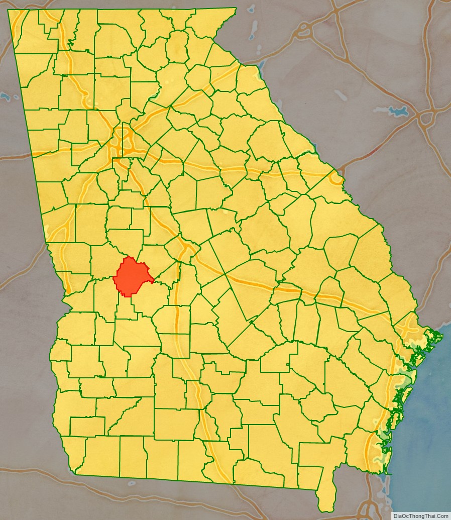
Taylor County is a county located in the west central portion of the U.S. state of Georgia. As of the 2020 census, the population was 7,816. The county seat and largest city is Butler.
| Name: | Taylor County |
|---|---|
| FIPS code: | 13-269 |
| State: | Georgia |
| Founded: | 1852 |
| Named for: | Zachary Taylor |
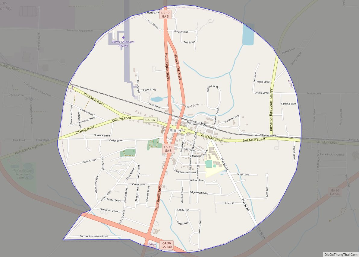
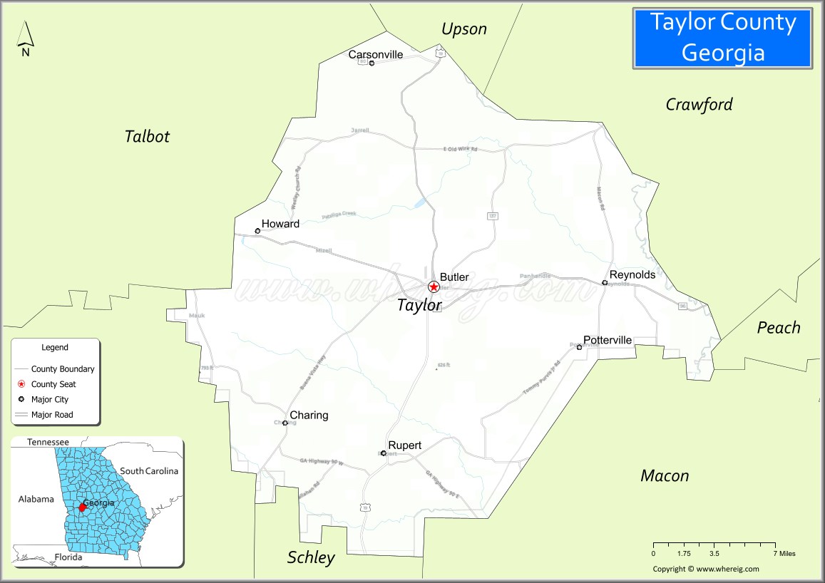
| Seat: | Butler |
| Largest city: | Butler |
| Total Area: | 380 sq mi (1,000 km²) |
| Land Area: | 377 sq mi (980 km²) |
| Total Population: | 7,816 |
| Population Density: | 21/sq mi (8/km²) |
| Time zone: | UTC−5 (Eastern) |
| Summer Time Zone (DST): | UTC−4 (EDT) |
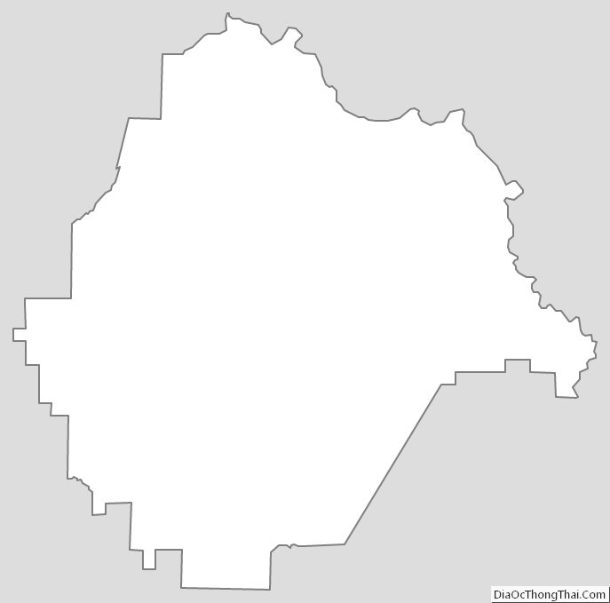
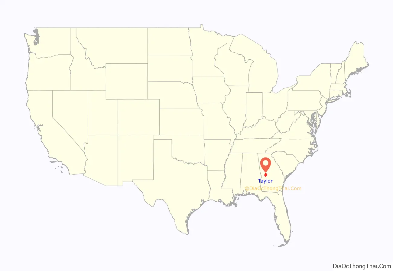
Taylor County location map. Where is Taylor County?
History
Taylor County was created on January 15, 1852, by an act of the Georgia General Assembly from portions of Macon, Marion and Talbot counties. The County is named for Zachary Taylor, twelfth President of the United States.
Taylor County is also widely known for its history of racism and Jim Crow era subjugation of its African-American populace, which continued long into the 20th century. An especially egregious case is the 1946 lynching of Maceo Snipes, a World War II veteran and the first African-American to vote in Taylor County, for which he was murdered by the KKK on his doorstep in the hours following. Although not immediately succumbing to his wounds, Mr. Snipes death was eventually caused by the lack of availability of “black blood”, or transfusions from a black person, at a Butler, Georgia hospital to which he was forced to walk three miles with gunshot wounds to his back. The murderers were never tried or otherwise held to account for their crimes, despite the involvement of the FBI. Mr. Snipes’ murder was a motivating factor in Martin Luther King, Jr.’s first and only letter to the Atlanta Constitution at age 17, decrying the terrorism experienced by black citizens in the state at that time, which occurred largely at the hands of or with the blessing of the local and state authorities.
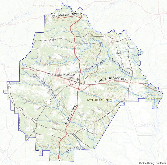
Taylor County Road Map
Geography
According to the U.S. Census Bureau, the county has a total area of 380 square miles (980 km), of which 377 square miles (980 km) is land and 3.0 square miles (7.8 km) (0.8%) is water.
Taylor County is dissected by the Fall Line geological formation. The upper half of the county is located in the Piedmont region and consists of gently rolling hills and clay-based soils. The lower half of the county is located in the Upper Atlantic Coastal Plain and is markedly flatter and the soil more sandy. The Flint River marks the entirety of the county’s northeastern border.
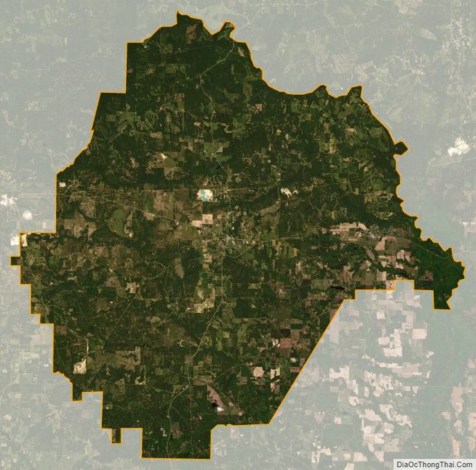
The county is driven by a largely agricultural economy. Peaches, strawberries, pecans, peanuts, watermelons, and cotton are the most commonly raised crops. Lumbering is also important to the local economy. The county is heavily forested in most areas due in part to the many large plantation pine farms. There are also many desirable hardwood forests, especially along the Flint River basin and tributary streams. The southwestern portion of the county is covered with large sandhills that have given rise to several stable sand mining operations.
The county supports a very healthy population of animals, including white-tailed deer, wild turkey, eastern cottontail, raccoon, coyote, bobcat, nine-banded armadillo, Virginia opossum, red-tailed hawk, and the federally endangered Florida gopher tortoise. Taylor County is home to five of North America’s venomous snakes (eastern diamondback rattlesnake, timber rattlesnake, Carolina pygmy rattlesnake, eastern coral snake, water moccasin, and copperhead), representing every North American family of venomous snake.
The dominant tree species are southern red oak, post oak, longleaf pine, loblolly pine, sweetgum, and red maple. Taylor County contains the largest stands of Atlantic white cedar in the state of Georgia. These stands can be found along much of Whitewater and Little Whitewater creeks and are at the heart of a growing movement to conserve these unique plant communities for posterity.
The vast majority of Taylor County is located in the Upper Flint River sub-basin of the ACF River Basin (Apalachicola-Chattahoochee-Flint River Basin), with the exception of a tiny corner of the county just north of Georgia, which is located in the Middle Chattahoochee River-Walter F. George Lake sub-basin of the same ACF River Basin.
Major highways
- U.S. Route 19
- U.S. Route 80
- State Route 3
- State Route 22
- State Route 90
- State Route 96
- State Route 127
- State Route 128
- State Route 137
- State Route 208
- State Route 540 (Fall Line Freeway)
Adjacent counties
- Upson County (north)
- Crawford County (northeast)
- Peach County (east)
- Macon County (southeast)
- Schley County (south)
- Marion County (southwest)
- Talbot County (northwest)
Taylor County Topographic Map
Taylor County Satellite Map
Taylor County Outline Map