Madison County is a county located in the U.S. state of Idaho. As of the 2020 census, the population was 52,913. The county seat and largest city is Rexburg.
Madison County is part of the Rexburg, Idaho micropolitan area, which is also included in the Idaho Falls metropolitan area.
| Name: | Madison County |
|---|---|
| FIPS code: | 16-065 |
| State: | Idaho |
| Founded: | February 18, 1913 |
| Named for: | James Madison |
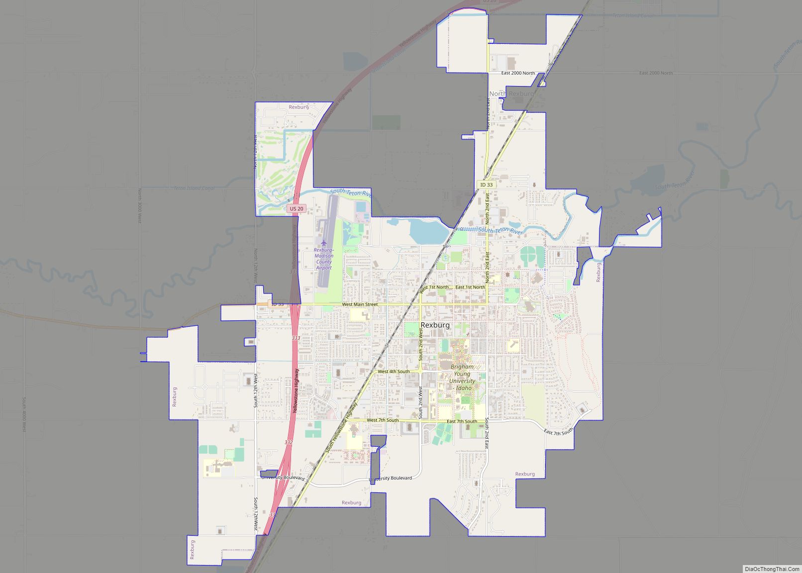
| Seat: | Rexburg |
| Largest city: | Rexburg |
| Total Area: | 473 sq mi (1,230 km²) |
| Land Area: | 469 sq mi (1,210 km²) |
| Total Population: | 52,913 |
| Population Density: | 110/sq mi (40/km²) |
| Time zone: | UTC−7 (Mountain) |
| Summer Time Zone (DST): | UTC−6 (MDT) |
| Website: | www.co.madison.id.us |
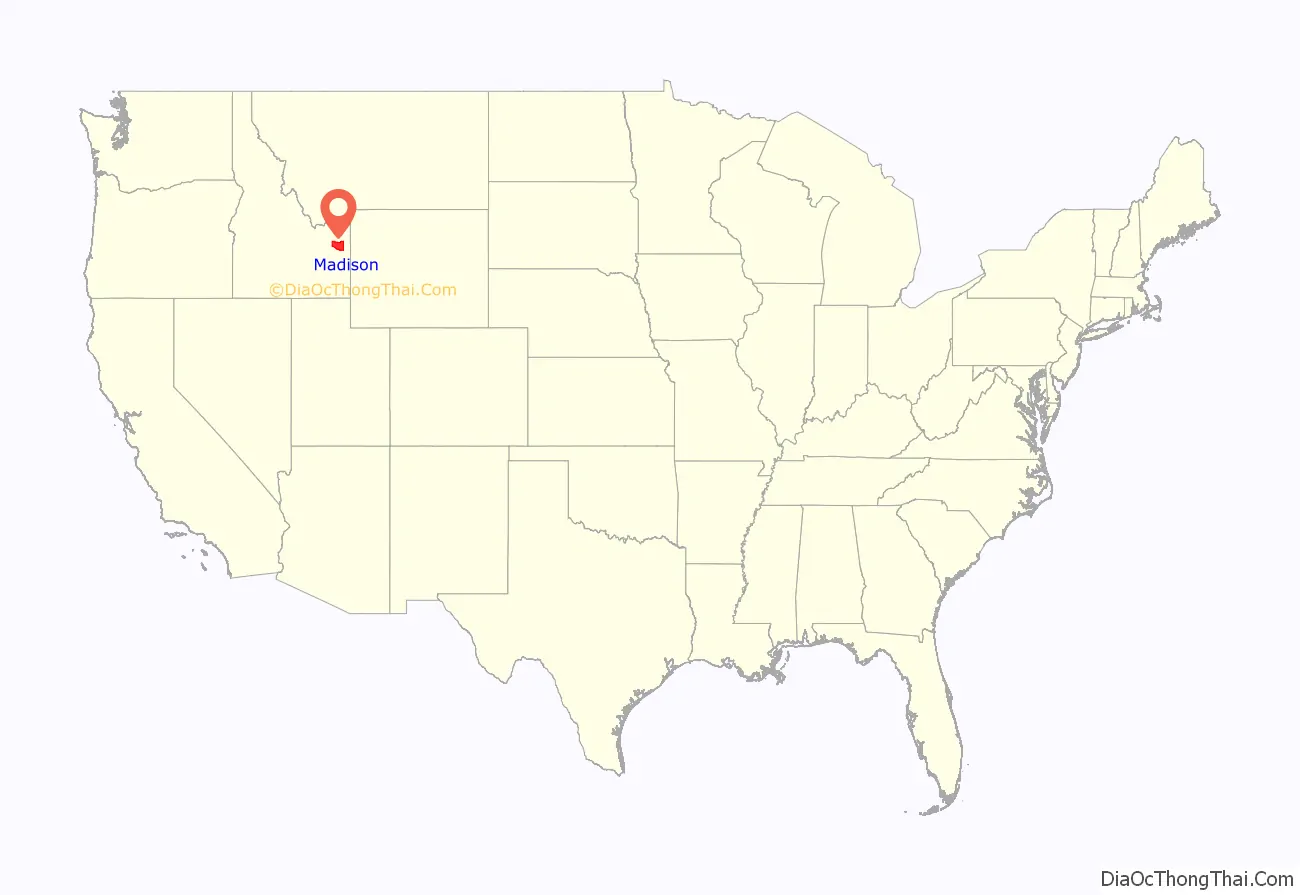
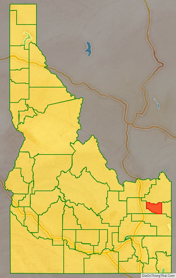
Madison County location map. Where is Madison County?
History
The area was originally settled by members of the Church of Jesus Christ of Latter-day Saints. Before February 1913, the county was part of neighboring Fremont County. The newly established county was named for American president James Madison. Brigham Young University–Idaho, formerly Ricks College (named after early local LDS settler Thomas Edwin Ricks) is located in Madison County. Madison County was declared a national disaster area after the flood of June 5, 1976.
Madison County is the owner of the healthcare system in the region. However, it is contracted out to Madison Memorial. Madison Memorial began in 1951 when the doctors at that time decided it was time for the community to have a hospital. They then closed their practices and collaborated with the community to build Madison Memorial, a non-profit healthcare system. Since that time, Madison Memorial has continued to grow, promote population health for the region, and provide professional healthcare services for the region with over 800 employees. The region served includes the following counties Jefferson, Madison, Fremont, Teton, Clark, and Lemhi. Madison Memorial is the nearest hospital to Yellowstone National Park.
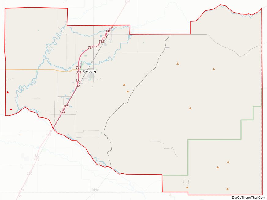
Madison County Road Map
Geography
According to the U.S. Census Bureau, the county has a total area of 473 square miles (1,230 km), of which 469 square miles (1,210 km) is land and 4.0 square miles (10 km) (0.8%) is water. It is the third-smallest county in Idaho by area.
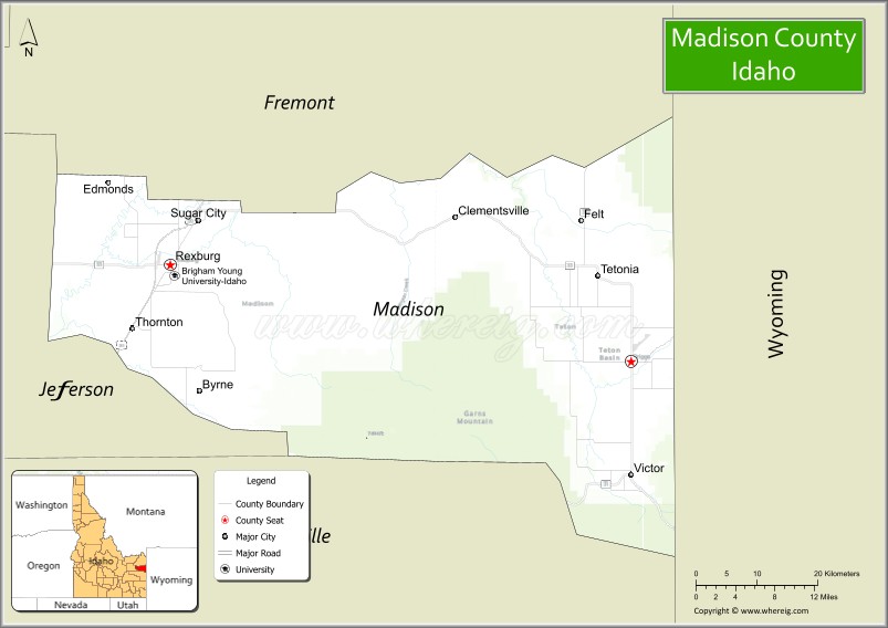
Adjacent counties
- Fremont County – north
- Teton County – east
- Bonneville County – south
- Jefferson County – west
Major highways
- US 20
- SH-33
National protected area
- Targhee National Forest (part)
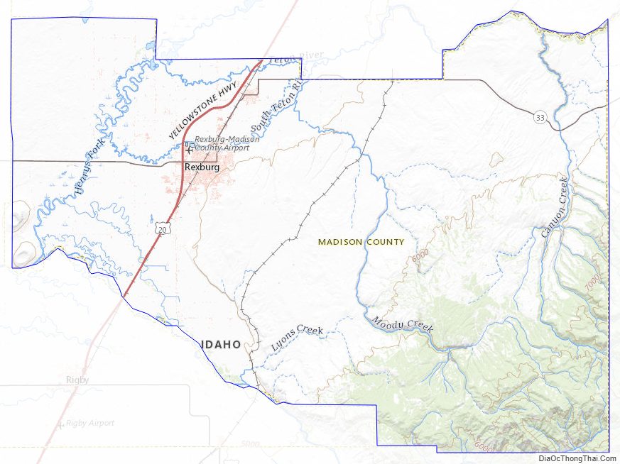
Madison County Topographic Map
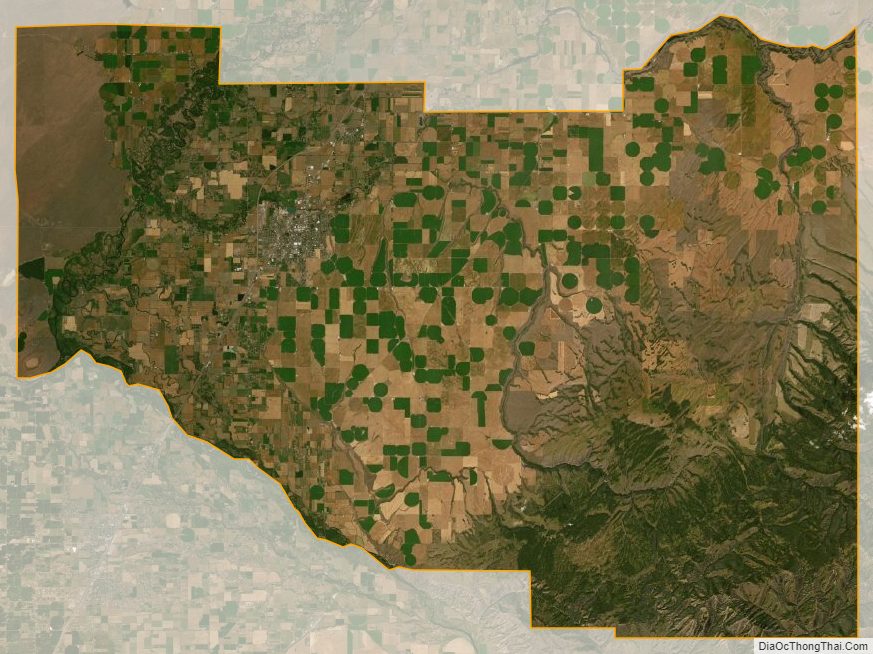
Madison County Satellite Map
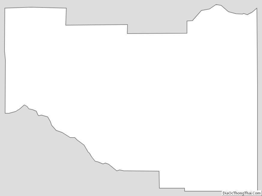
Madison County Outline Map