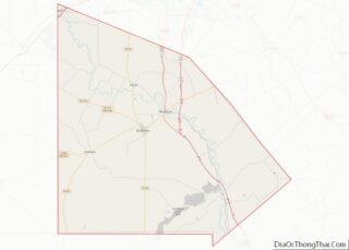
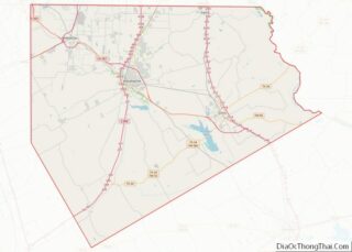
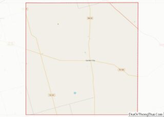
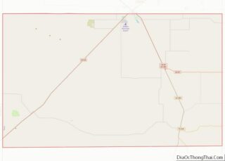
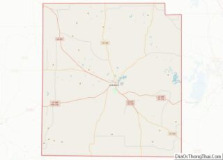
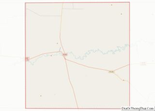
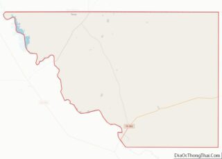
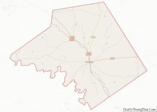
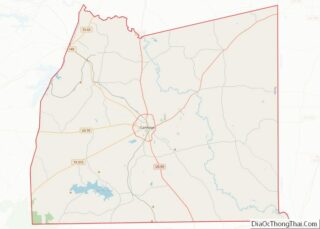
Map of Charles City County, Virginia
Charles City County overview: Name: Charles City County FIPS code: 51-036 State: Virginia Founded: 1619 Named for: Charles I of England Seat: Charles City Total Area: 204 sq mi (530 km²) Land Area: 183 sq mi (470 km²) Total Population: 6,773 Population Density: 33/sq mi (13/km²) Charles City County location map. Where is Charles City County? History Native Americans Various Indian tribes ... Read more
Map of Charles City County, Virginia
Map of Essex County, Virginia
Essex County is a county located in the Middle Peninsula in the U.S. state of Virginia; the peninsula is bordered by the Rappahannock River on the north and King and Queen County on the south. As of the 2020 census, the population was 10,599. Its county seat is Tappahannock. Essex County overview: Name: Essex County ... Read more
Map of Essex County, Virginia
Map of Greensville County, Virginia
Greensville County is a county located in the Commonwealth of Virginia. As of the 2020 census, the population was 11,391. Its county seat is Emporia. Greensville County overview: Name: Greensville County FIPS code: 51-081 State: Virginia Founded: 1780 Seat: Emporia Largest town: Jarratt Total Area: 297 sq mi (770 km²) Land Area: 295 sq mi (760 km²) Total Population: 11,391 Population ... Read more
Map of Greensville County, Virginia
Map of Lexington City, Virginia
Lexington is an independent city in the Commonwealth of Virginia. At the 2020 census, the population was 7,320. It is the county seat of Rockbridge County, although the two are separate jurisdictions. The Bureau of Economic Analysis combines the city of Lexington (along with nearby Buena Vista) with Rockbridge County for statistical purposes. Lexington is ... Read more
Map of Lexington City, Virginia
Map of Norfolk City, Virginia
Norfolk (/ˈnɔːrfʊk/ (listen) NOR-fuk) is an independent city in the Commonwealth of Virginia in the United States. Incorporated in 1705, it had a population of 238,005 at the 2020 census, making it the third-most populous city in Virginia after neighboring Virginia Beach and Chesapeake, and the 94th-largest city in the nation. Norfolk holds a strategic ... Read more
Map of Norfolk City, Virginia
Map of Pulaski County, Virginia
Pulaski County is a county located in the southwestern part of the U.S. state of Virginia. As of the 2020 census, the population was 33,800. Its county seat is Pulaski. Pulaski County is part of the Blacksburg–Christiansburg, VA Metropolitan Statistical Area. Pulaski County overview: Name: Pulaski County FIPS code: 51-155 State: Virginia Founded: 1839 Named ... Read more
Map of Pulaski County, Virginia
Map of Staunton City, Virginia
Staunton (/ˈstæntən/ STAN-tən) is an independent city in the U.S. Commonwealth of Virginia. As of the 2020 census, the population was 25,750. In Virginia, independent cities are separate jurisdictions from the counties that surround them, so the government offices of Augusta County are in Verona, which is contiguous to Staunton. Staunton is a principal city ... Read more
Map of Staunton City, Virginia
Map of Asotin County, Washington
Asotin County (/əˈsoʊtən/) is a county in the U.S. state of Washington. As of the 2020 census, the population was 22,285. The county seat is at Asotin, and its largest city is Clarkston. The county was created out of Garfield County in 1883 and derives its name from a Nez Perce word meaning “Eel Creek.” ... Read more
Map of Asotin County, Washington
Map of Kitsap County, Washington
Kitsap County is located in the U.S. state of Washington. As of the 2020 census, its population was 275,611. Its county seat is Port Orchard, and its largest city is Bremerton. The county was formed out of King County and Jefferson County on January 16, 1857, and is named for Chief Kitsap of the Suquamish ... Read more
Map of Kitsap County, Washington
Map of Thurston County, Washington
Thurston County is a county located in the U.S. state of Washington. As of the 2020 census, its population was 294,793. The county seat and largest city is Olympia, the state capital. Thurston County was created out of Lewis County by the government of Oregon Territory on January 12, 1852. At that time, it covered ... Read more
Map of Thurston County, Washington
Map of Gilmer County, West Virginia
Gilmer County is a county in the U.S. state of West Virginia. As of the 2020 census, the population was 7,408, making it West Virginia’s fifth-least populous county. Its county seat is Glenville. The county was formed in 1845 from parts of Lewis and Kanawha Counties, and named for Thomas Walker Gilmer, Governor of Virginia ... Read more
Map of Gilmer County, West Virginia
Map of McDowell County, West Virginia
McDowell County overview: Name: McDowell County FIPS code: 54-047 State: West Virginia Founded: February 28, 1858 Named for: James McDowell Seat: Welch Largest city: Welch Total Area: 535 sq mi (1,390 km²) Land Area: 533 sq mi (1,380 km²) Total Population: 19,111 Population Density: 36/sq mi (14/km²) McDowell County location map. Where is McDowell County? History On February 20, 1858, McDowell County ... Read more
Map of McDowell County, West Virginia