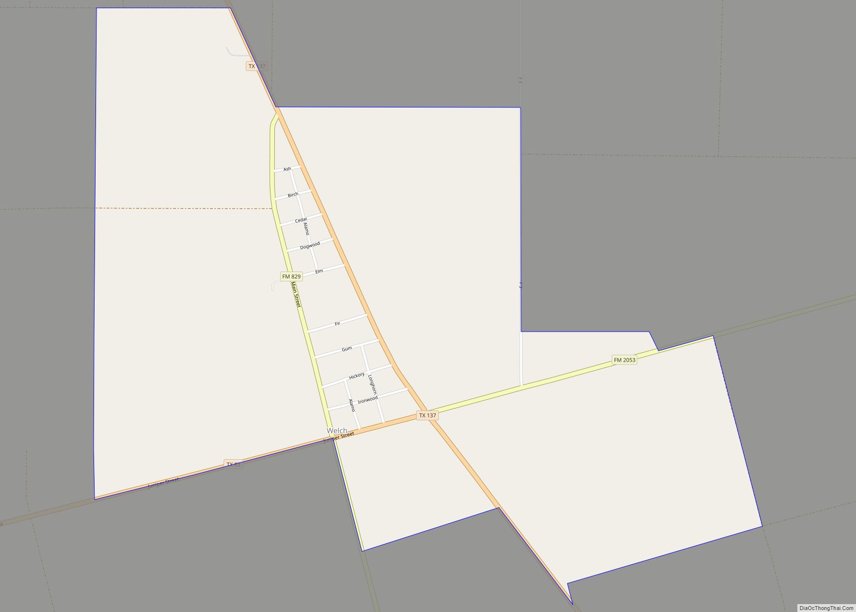
Dawson County is a county in the U.S. state of Texas. As of the 2020 census, its population was 12,456. The county seat is Lamesa. The county was created in 1876 and later organized in 1905. It is named for Nicholas Mosby Dawson, a soldier of the Texas Revolution. Dawson County comprises the Lamesa, TX Micropolitan Statistical Area (μSA), and it is the smallest Micropolitan Statistical Area in the United States.
| Name: | Dawson County |
|---|---|
| FIPS code: | 48-115 |
| State: | Texas |
| Founded: | 1905 |
| Named for: | Nicholas Mosby Dawson |
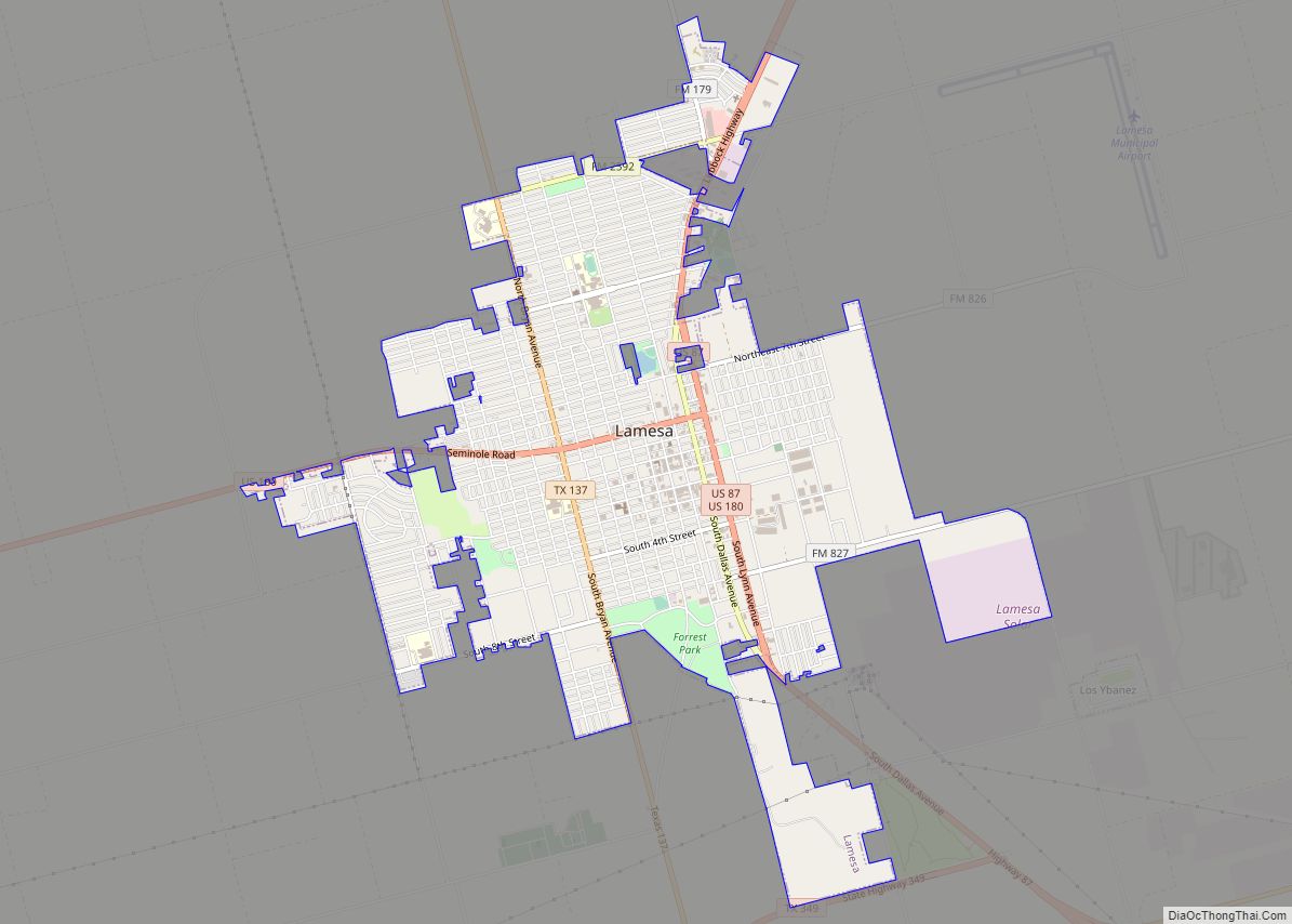
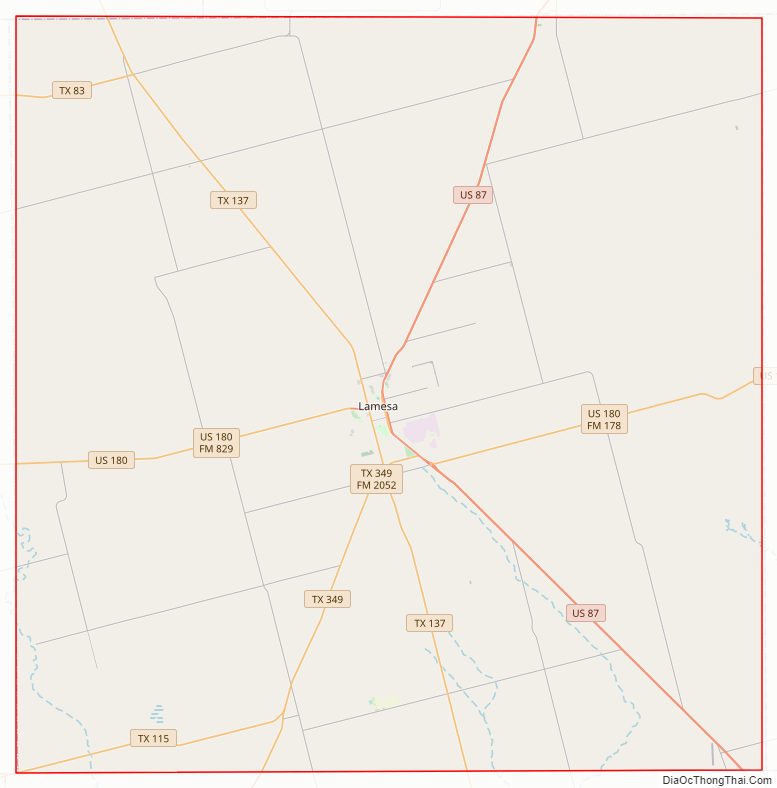
| Seat: | Lamesa |
| Largest city: | Lamesa |
| Total Area: | 902 sq mi (2,340 km²) |
| Land Area: | 900 sq mi (2,000 km²) |
| Total Population: | 12,456 |
| Population Density: | 14/sq mi (5.3/km²) |
| Time zone: | UTC−6 (Central) |
| Summer Time Zone (DST): | UTC−5 (CDT) |
| Website: | www.co.dawson.tx.us |
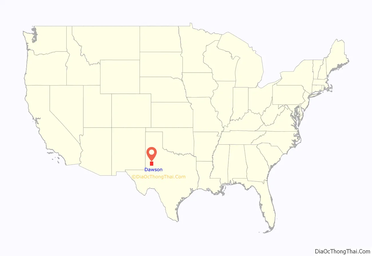
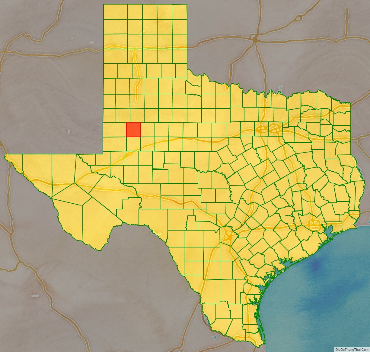
Dawson County location map. Where is Dawson County?
History
A Dawson County was founded in 1856 from Kinney County, Maverick County and Uvalde County, but was divided in 1866 between Kinney County and Uvalde County. The current Dawson County was founded in 1876.
In 1943, the discovery well for the Spraberry Trend, the third-largest oil field in the United States by remaining reserves, was drilled in Dawson County on land owned by farmer Abner Spraberry, for whom the geological formation and associated field were named. While most of the oil fields are in the counties to the south, a small portion of the Spraberry Trend is in Dawson County. Production on the field did not begin until 1949, and by 1951, an oil boom was underway in the area, with Midland at its center.
Like all Texas counties as stipulated in the Texas Constitution of 1876, Dawson County has four commissioners chosen by single-member district and a countywide-elected county judge, the chief administrator of the county.
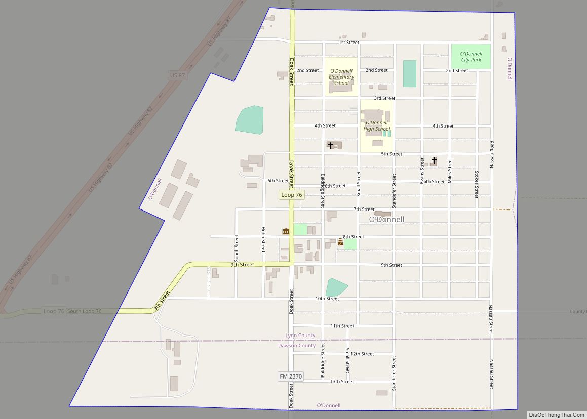
James Edward “J. E.” Airhart, Sr. (1915-2007), served for 30 years from 1935 to 1985 on the Dawson County Commissioners Court, in which capacity he worked to obtain the county livestock and fair barn, the general aviation airport, and numerous highway improvements. He was instrumental in the successful negotiation of rights-of-way for U.S. Highway 87 north to O’Donnell and south to Ackerly. A farmer and rancher, Airhart also served on the board of the Klondike Independent School District and was a Baptist deacon. J. E. “Jimmy” Airhart, Jr. (1935-2016), the oldest of Airhart’s six children, was a farmer/rancher and educator, who was superintendent of the Dawson County Independent School District. Donald Ray Airhart (1937-2017) was a cattleman in Dawson County who like his father, served on the Klondike School Board and worked with youth in stock shows and other agricultural pursuits.
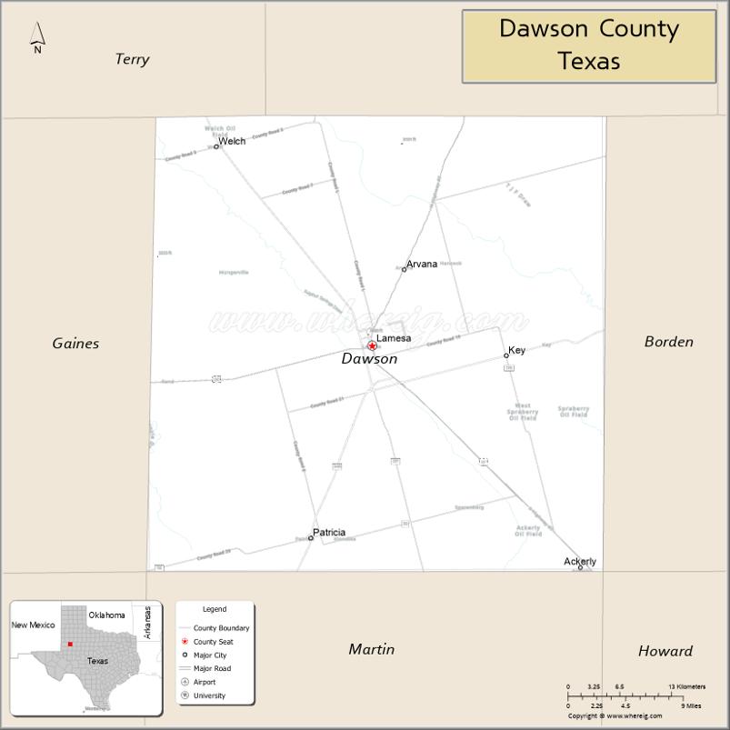
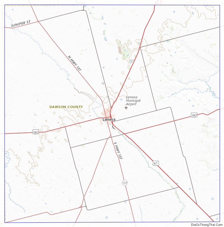
Dawson County Road Map
Geography
According to the U.S. Census Bureau, the county has an area of 902 square miles (2,340 km), of which 900 square miles (2,300 km) are land and 1.8 square miles (4.7 km) (0.2%) are covered by water.
Major highways
- U.S. Highway 87
- U.S. Highway 180
- State Highway 83
- State Highway 137
Adjacent counties
- Lynn County (north)
- Borden County (east)
- Howard County (southeast)
- Martin County (south)
- Gaines County (west)
- Terry County (northwest)
Dawson County Topographic Map
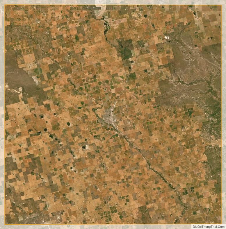
Dawson County Satellite Map
Dawson County Outline Map