Bandera County (Spanish: “flag”, /bænˈdɛrə/ ban-DERR-ə) is a county in the U.S. state of Texas. It is located in the Hill Country and its county seat is Bandera.
As of the 2020 census, the population is 20,851. Bandera County is part of the San Antonio-New Braunfels metropolitan statistical area.
The county is officially recognized as the “Cowboy Capital of the World” by the Texas Legislature.
| Name: | Bandera County |
|---|---|
| FIPS code: | 48-019 |
| State: | Texas |
| Founded: | 1856 |
| Named for: | Bandera Pass |
| Seat: | Bandera |
| Total Area: | 798 sq mi (2,070 km²) |
| Land Area: | 791 sq mi (2,050 km²) |
| Total Population: | 20,851 |
| Population Density: | 26/sq mi (10/km²) |
| Time zone: | UTC−6 (Central) |
| Summer Time Zone (DST): | UTC−5 (CDT) |
| Website: | www.banderacounty.org |
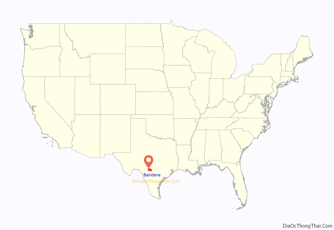
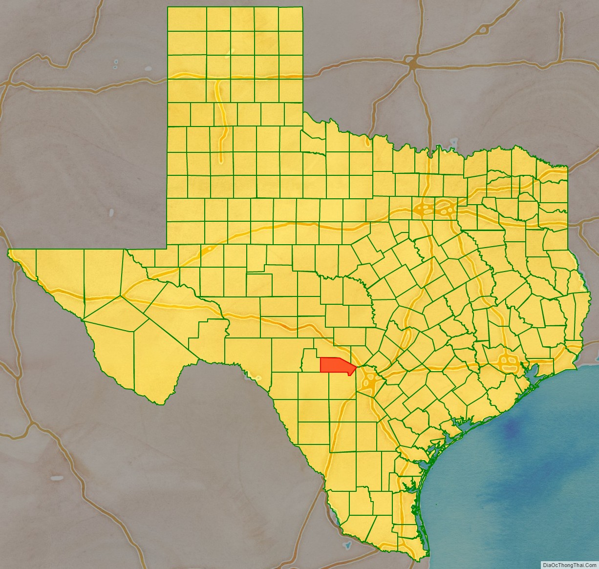
Bandera County location map. Where is Bandera County?
History
In 1856, the Texas Legislature established Bandera County from portions of Bexar and Uvalde Counties, and named the county and its seat for Bandera Pass, which uses the Spanish word for flag.
Native Americans
Although the county’s earliest evidence of human habitation dates from 8000 to 4000 BC, the county’s earliest known ethnology places Lipan Apache and later Comanche settlements in the area during the 17th century.
19th century
In 1841, John Coffee Hays and a troop of Texas Rangers defeated a large party of Comanche warriors, thereby pacifying the region in what became known as the Battle of Bandera Pass.
In 1853, John James and Charles S. DeMontel survey and plan the town of Bandera, which facilitates settlement by A. M. Milstead, Thomas Odem, P.D. Saner, and their families along the river. The families begin making cypress shingles. James, Montel and Company build a horse-powered sawmill and open a store within a year. In the wake of successive national insurrections crushed by Prussia, Austria and Russia, 16 Polish families arrive in Bandera in 1855 and begin working in James and DeMontel’s sawmill. August Klappenbach opens the first store and post office. In 1856, the Texas Legislature establishes Bandera County from portions of Bexar County, and the county is formally organized.
By 1860, the population grows to 399, which included 12 slaves. By 1880, sheep and Angora goats become more profitable than farming.
20th century
In 1920, Cora and Ed Buck launch Bandera’s tourist industry by taking boarders at their ranch, and by 1933, Frontier Times Museum opens to the public.
During the last 30 years of the 20th century, with an estimated 80% of its land dedicated to farming and ranching industries, the county government facilitates three major actions to preserve its natural heritage: the Lost Maples State Natural Area opens to the public in 1979, the Hill Country State Natural Area opens to the public in 1984, and the Nature Conservancy purchases 1,400 acres (5.7 km) of the Love Creek Ranch from Baxter and Carol Adams to create the Love Creek Preserve in 2000.
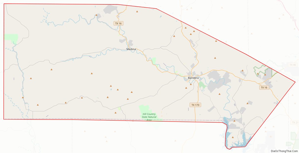
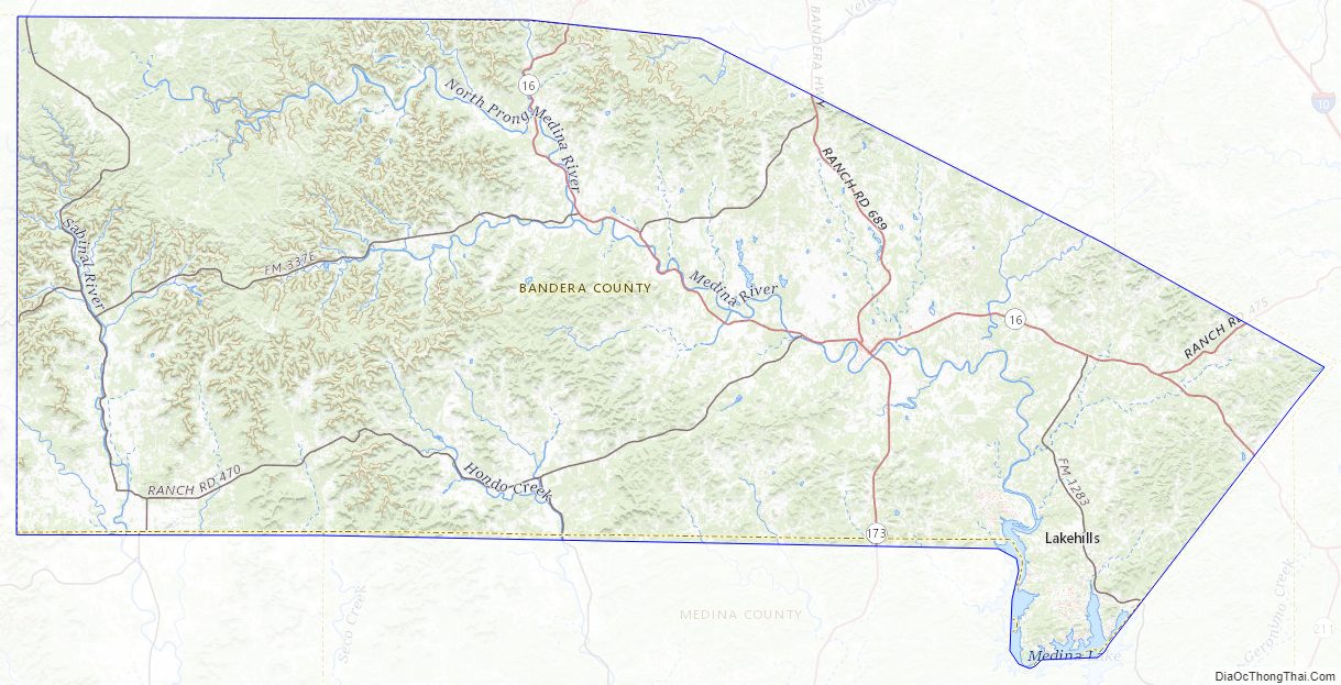
Bandera County Road Map
Geography
According to the U.S. Census Bureau, the county has a total area of 798 square miles (2,070 km), of which 791 square miles (2,050 km) is land and 6.7 square miles (17 km) (0.8%) is water. Bandera County is a part of the Greater San Antonio area and is located on the Edwards Plateau.
Major highways
- State Highway 16
- State Highway 46
- State Highway 173
- Park Road 37
- Ranch to Market Road 187
- Ranch to Market Road 337
- Ranch to Market Road 1077
- Farm to Market Road 1283
- Ranch to Market Road 2828
- Farm to Market Road 3240
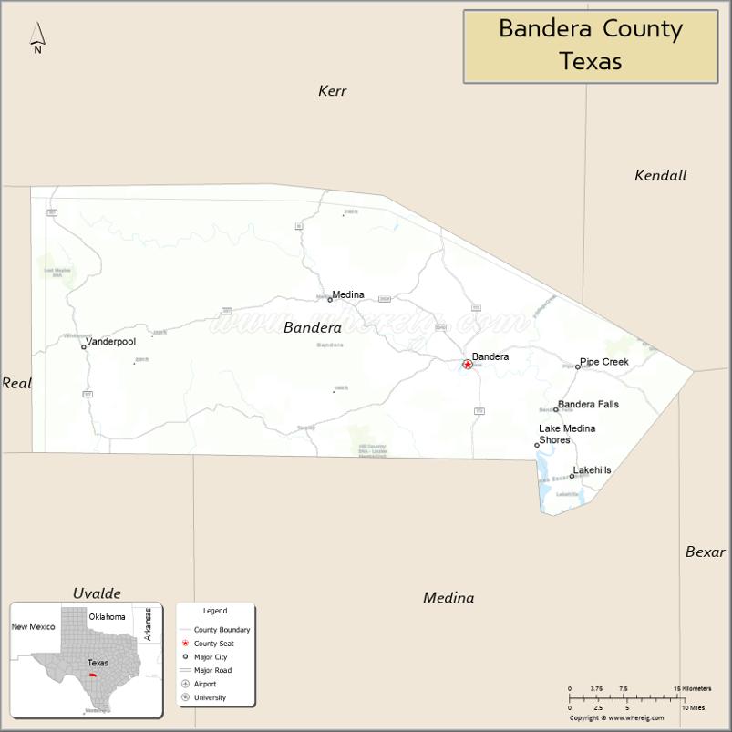
Adjacent counties
- Kerr County (north)
- Kendall County (northeast)
- Bexar County (southeast)
- Medina County (south)
- Uvalde County (southwest)
- Real County (west)
Bandera County Topographic Map
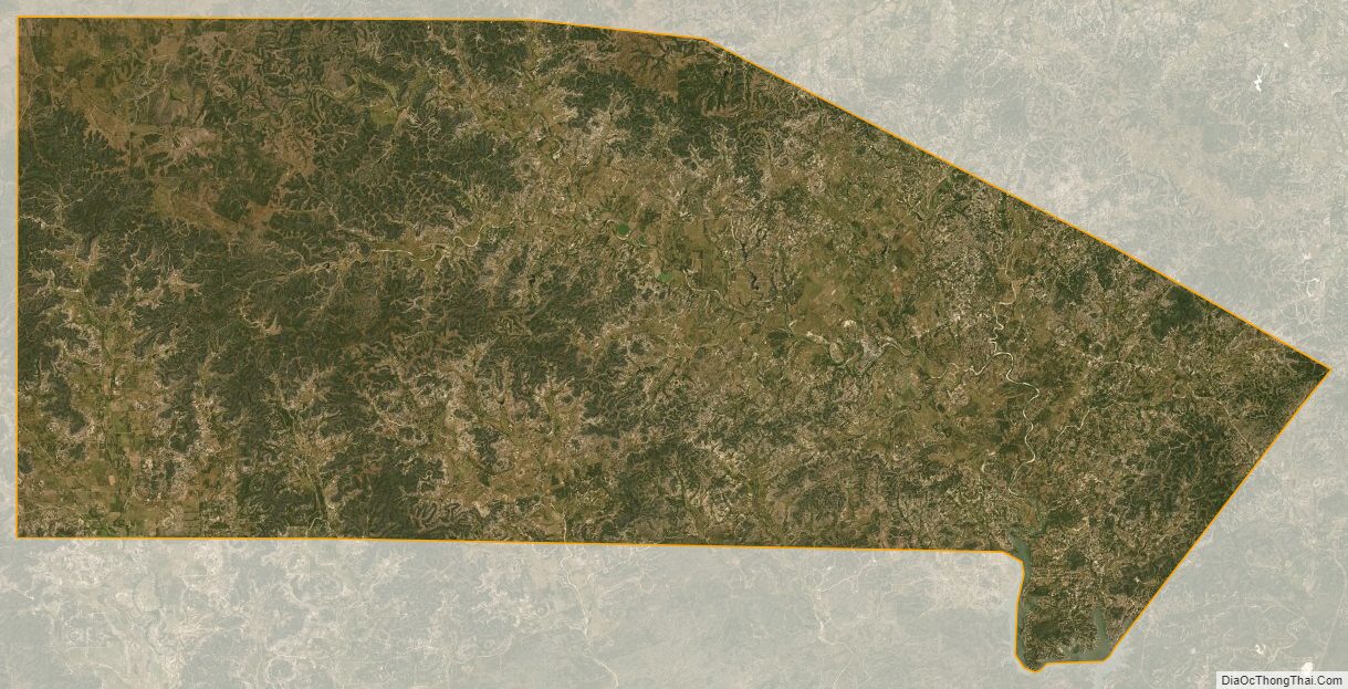
Bandera County Satellite Map
Bandera County Outline Map