Gray County is a county located in the U.S. state of Texas. As of the 2020 census, its population was 21,227. The county seat is Pampa. The county was created in 1876 and later organized in 1902. is named for Peter W. Gray, a Confederate lawyer and soldier in the American Civil War.
Gray County comprises the Pampa, TX micropolitan statistical area.
Gray County was the center of the White Deer Lands Management Company, which ceased operations in 1957. The history of the company is the theme of the White Deer Land Museum in Pampa, but company archives are at the Panhandle-Plains Historical Museum in Canyon. Timothy Dwight Hobart, the White Deer land agent from 1903 to 1924, was elected mayor of Pampa in 1927.
| Name: | Gray County |
|---|---|
| FIPS code: | 48-179 |
| State: | Texas |
| Founded: | 1902 |
| Named for: | Peter W. Gray |
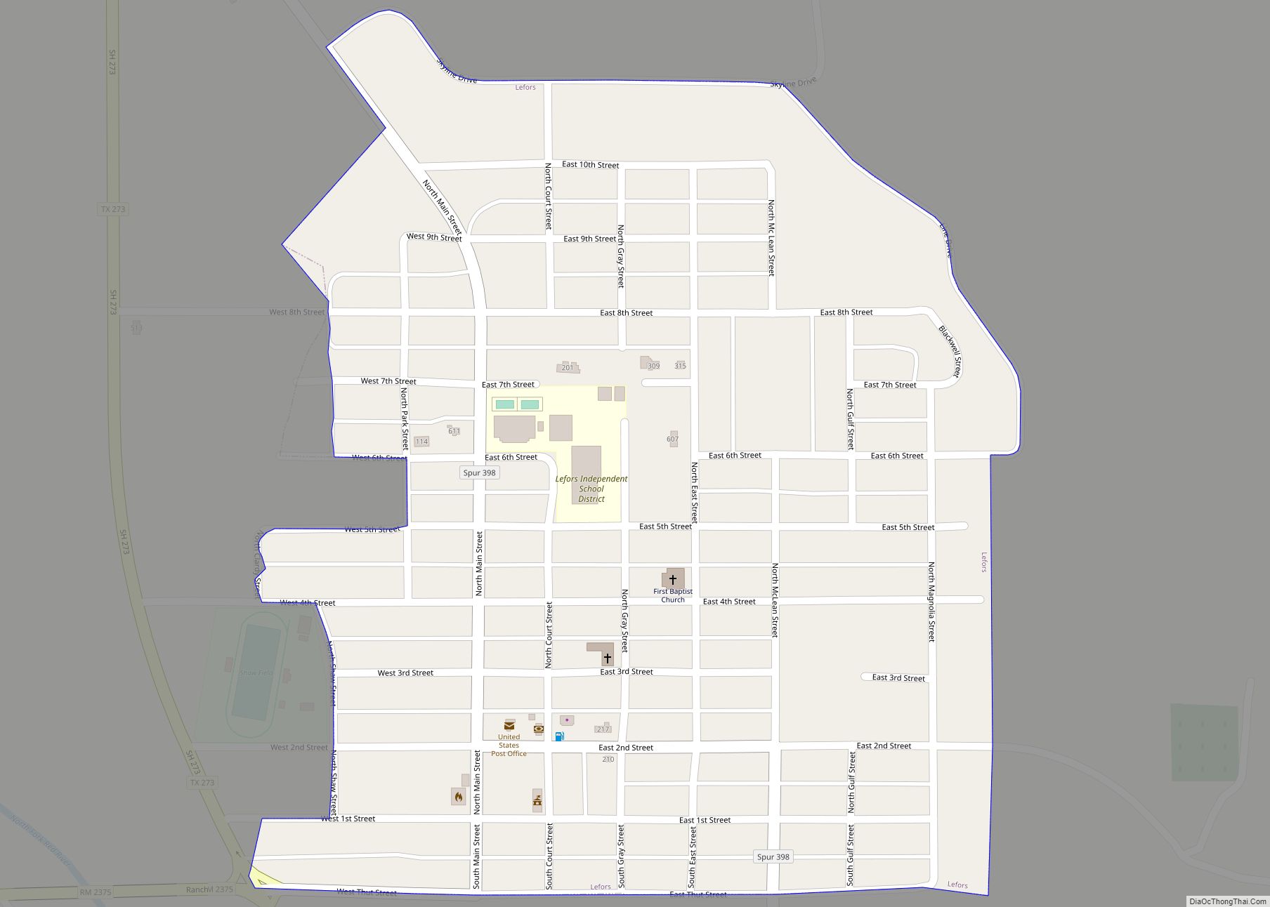
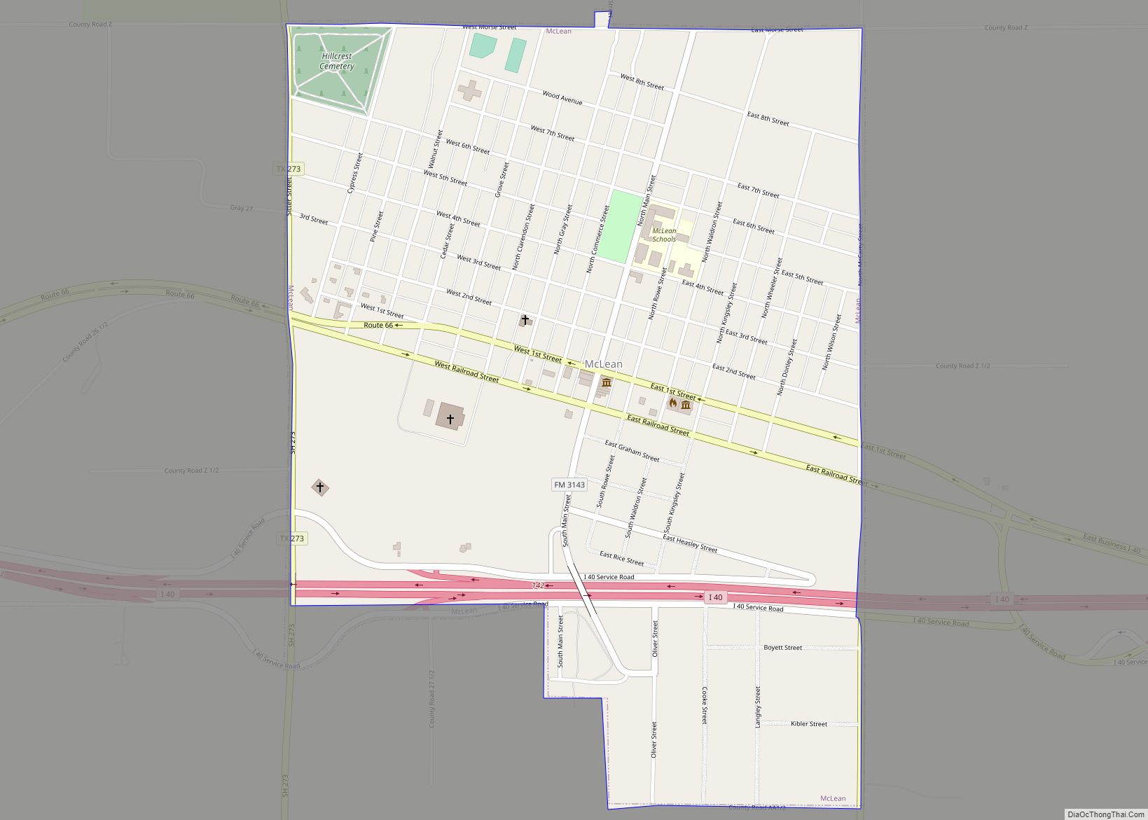
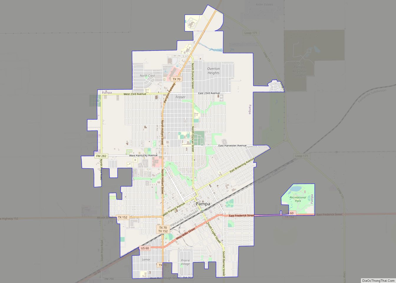
| Seat: | Pampa |
| Largest city: | Pampa |
| Total Area: | 929 sq mi (2,410 km²) |
| Land Area: | 926 sq mi (2,400 km²) |
| Total Population: | 21,227 |
| Population Density: | 23/sq mi (8.8/km²) |
| Time zone: | UTC−6 (Central) |
| Summer Time Zone (DST): | UTC−5 (CDT) |
| Website: | www.co.gray.tx.us |
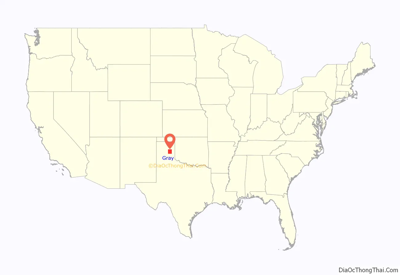
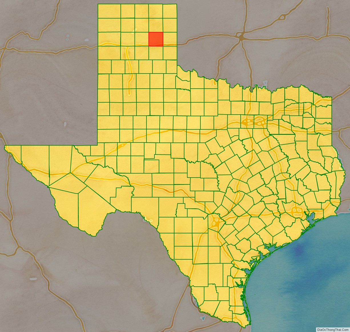
Gray County location map. Where is Gray County?
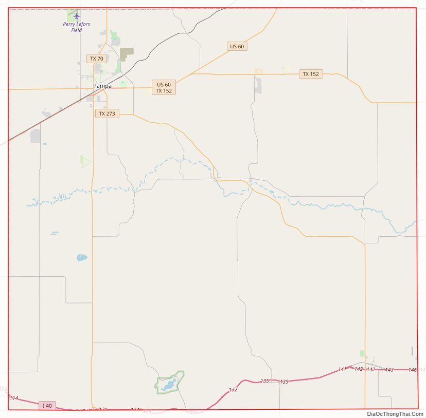
Gray County Road Map
Geography
According to the U.S. Census Bureau, the county has a total area of 929 square miles (2,410 km), of which 926 sq mi (2,400 km) are land and 3.4 sq mi (8.8 km) (0.4%) are covered by water.
Major highways
- Interstate 40
- U.S. Highway 60
- State Highway 70
- State Highway 152
- State Highway 273
Adjacent counties
- Roberts County (north)
- Hemphill county (northeast)
- Wheeler County (east)
- Collingsworth County (southeast)
- Donley County (south)
- Armstrong County (southwest)
- Carson County (west)
National protected area
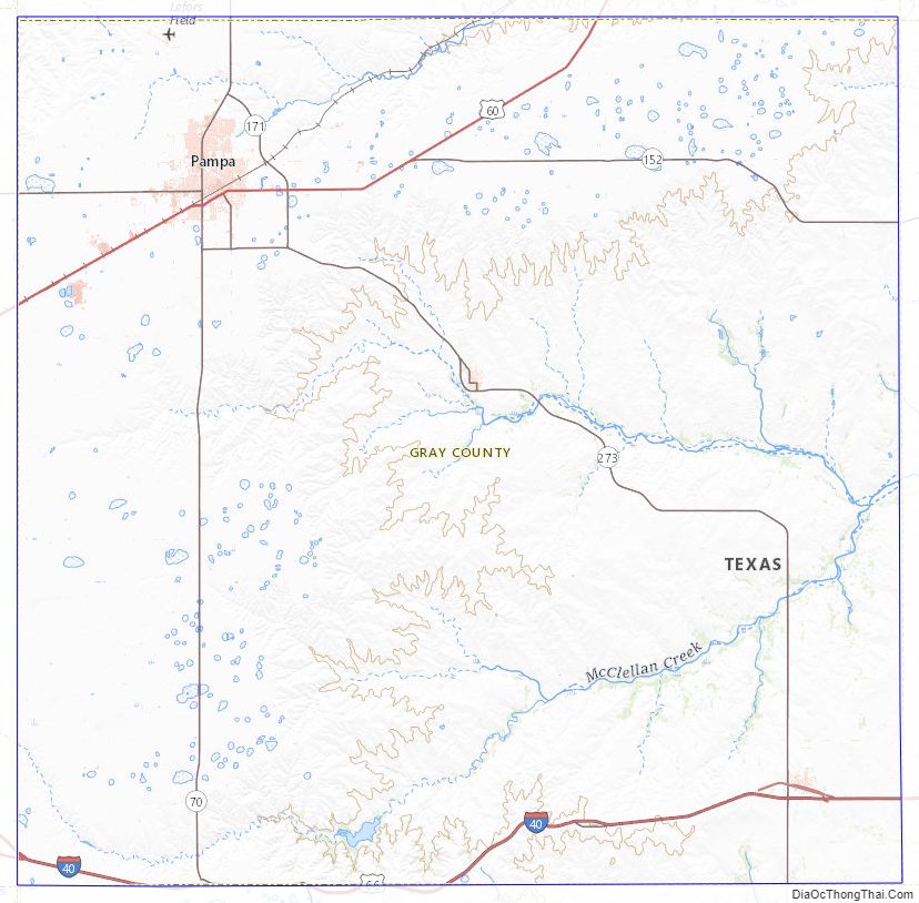
- McClellan Creek National Grassland
Gray County Topographic Map
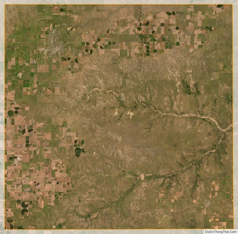
Gray County Satellite Map
Gray County Outline Map