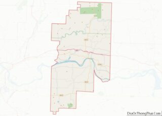
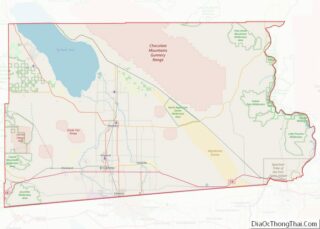
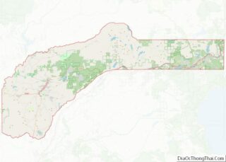
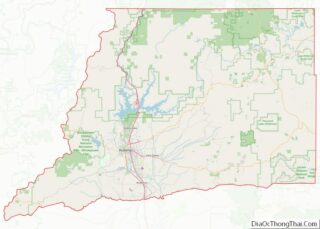
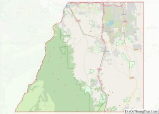
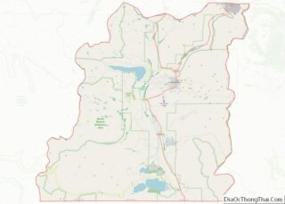
Map of Branch County

Map of Branch County, Michigan

Branch County is a county in the U.S. state of Michigan. As of the 2020 Census, the population was 44,862. The county seat is Coldwater. As one of the “cabinet counties” it was named for the U.S. Secretary of the Navy John Branch under President Andrew Jackson. The county was founded in 1829, and was … Read more

Map of Grand Traverse County

Map of Grand Traverse County, Michigan

Grand Traverse County (/ˈtrævərz/ TRAV-ərz) is a county located in the U.S. state of Michigan. As of the 2020 census, the population was 95,238, making it the largest county in Northern Michigan. Its county seat is Traverse City. The county is part of the Traverse City micropolitan area, which also includes neighboring Benzie, Kalkaska, and … Read more

Map of Lake Hurron Water body

Map of Lake Hurron Water body, Michigan

Lake Hurron Water body overview: Name: Lake Hurron Water body State: Michigan Lake Hurron Water body location map. Where is Lake Hurron Water body? Lake Hurron Water body Road Map Lake Hurron Water body Topographic Map Lake Hurron Water body Satellite Map Lake Hurron Water body Outline Map

Map of Midland County

Map of Midland County, Michigan

Midland County is a county located in the U.S. state of Michigan. As of the 2020 Census, the population was 83,494. The county seat is Midland. The county’s name is due to its closeness to the geographical Lower Peninsula’s geographical center. It was founded in 1831. However, it was not until 1855 that the county … Read more

Map of Roscommon County

Map of Roscommon County, Michigan

Roscommon County (/rɒsˈkɒmən/ RAHS-comm-ən) is a county located in the U.S. state of Michigan. As of the 2020 Census, the population was 23,459. The county seat is Roscommon. The county was founded in 1840 and organized in 1875. Roscommon County overview: Name: Roscommon County FIPS code: 26-143 State: Michigan Founded: 1840 Named for: County Roscommon, … Read more

Map of Benton County

Map of Benton County, Minnesota

Benton County is a county in the East Central part of the U.S. state of Minnesota. As of the 2020 census, the population was 41,379. Its county seat is Foley. Benton County is part of the St. Cloud Metropolitan Statistical Area, which is also included in the Minneapolis-St. Paul Combined Statistical Area. Benton County overview: … Read more

Map of Douglas County

Map of Douglas County, Minnesota

Douglas County is a county in the U.S. state of Minnesota. As of the 2020 United States Census, the population was 39,006. Its county seat is Alexandria. Douglas County comprises the Alexandria, Minnesota, Micropolitan Statistical Area. Douglas County is the home of Minnesota’s only wine-grape appellation, the 10,880 acres (44.0 km) Alexandria Lakes AVA. Douglas County … Read more

Map of Lac qui Parle County

Map of Lac qui Parle County, Minnesota

Lac qui Parle County (/læk kiː ˈpɑːrl/) is a county in the U.S. state of Minnesota. As of the 2020 census, the population was 6,719. Its county seat is Madison. The largest city in the county is Dawson. Lac qui Parle County overview: Name: Lac qui Parle County FIPS code: 27-073 State: Minnesota Founded: March … Read more

Map of Nicollet County

Map of Nicollet County, Minnesota

Nicollet County is a county in the U.S. state of Minnesota. As of the 2020 census, the population was 34,454. Its county seat is St. Peter. Nicollet County is part of the Mankato–North Mankato, MN Metropolitan Statistical Area. Nicollet County overview: Name: Nicollet County FIPS code: 27-103 State: Minnesota Founded: March 5, 1853 Named for: … Read more

Map of Roseau County

Map of Roseau County, Minnesota

Roseau County (/roʊˈzoʊ/) (pronounced row – so) is a county in the northwestern part of the U.S. state of Minnesota, along the Canada–US border. As of the 2020 census, the population was 15,331. Its county seat is Roseau. Roseau County borders the Canadian province of Manitoba. Part of the Red Lake Indian Reservation is in … Read more

Map of Wilkin County

Map of Wilkin County, Minnesota

Wilkin County is a county in the U.S. state of Minnesota. As of the 2020 census, the population of Wilkin County was 6,506. Its county seat is Breckenridge. The county is named for Colonel Alexander Wilkin, a lawyer who served as Minnesota’s U.S. marshal and was later killed in the Civil War. Wilkin County is … Read more

Map of Clay County

Map of Clay County, Mississippi

Clay County is a county in the U.S. state of Mississippi. As of the 2020 census, the population was 18,636. Its county seat is West Point. Its name is in honor of American statesman Henry Clay, member of the United States Senate from Kentucky and United States Secretary of State in the 19th century. J. … Read more