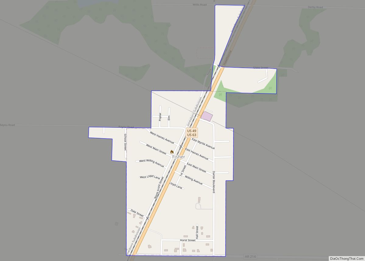
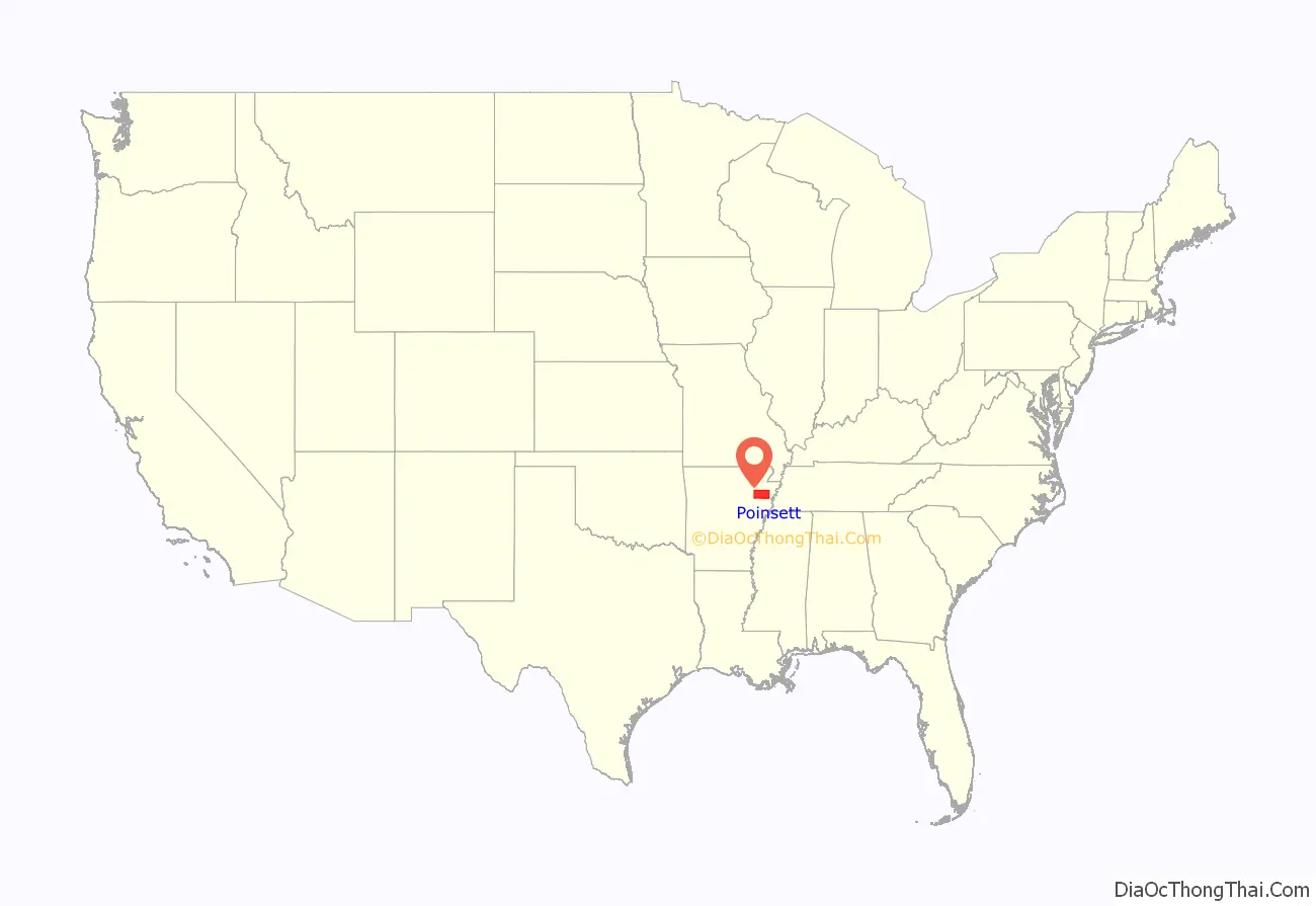
Poinsett County is a county located in the U.S. state of Arkansas. As of the 2020 census, the population was 22,965. The county seat is Harrisburg.
Poinsett County is included in the Jonesboro–Paragould Combined Statistical Area.
| Name: | Poinsett County |
|---|---|
| FIPS code: | 05-111 |
| State: | Arkansas |
| Founded: | February 28, 1838 |
| Named for: | Joel Roberts Poinsett |
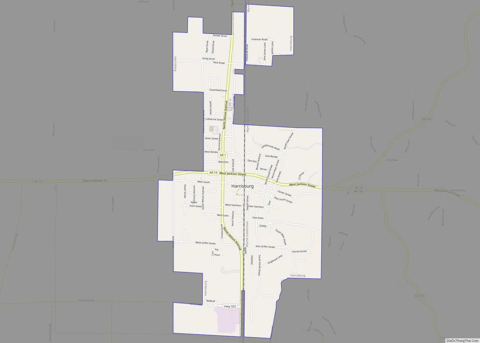
| Seat: | Harrisburg |
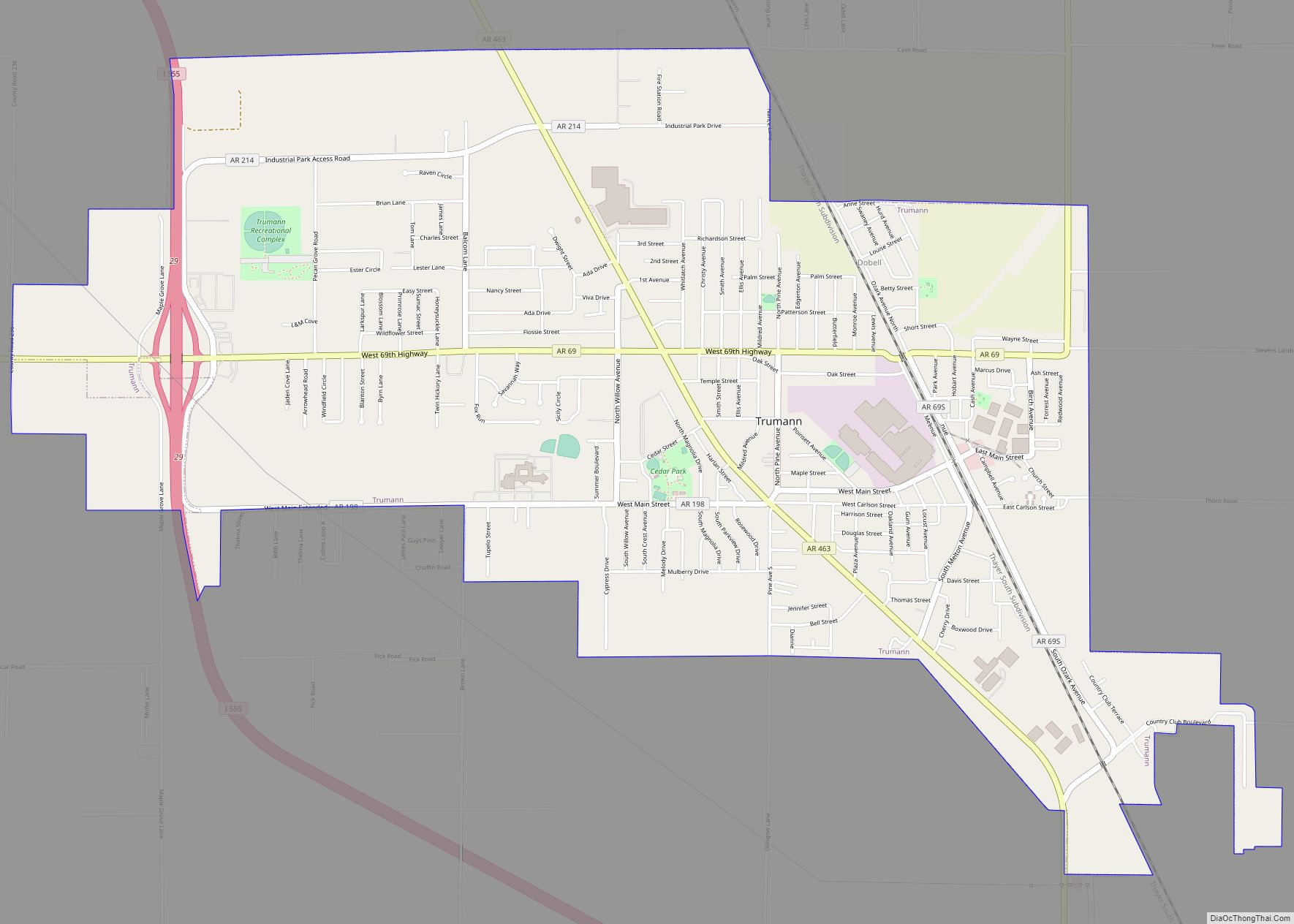
| Largest city: | Trumann |
| Total Area: | 763 sq mi (1,980 km²) |
| Land Area: | 758 sq mi (1,960 km²) |
| Total Population: | 22,965 |
| Population Density: | 30/sq mi (12/km²) |
| Time zone: | UTC−6 (Central) |
| Summer Time Zone (DST): | UTC−5 (CDT) |
| Website: | www.poinsettcounty.us |
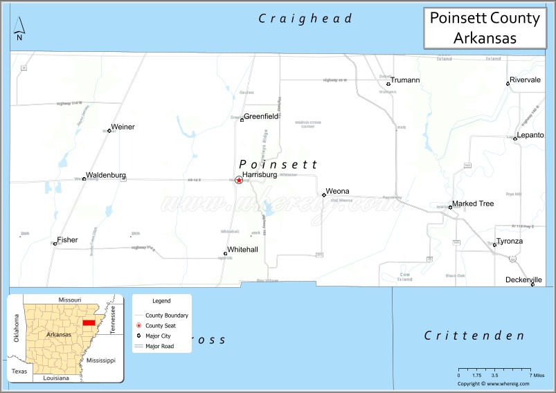
Poinsett County location map. Where is Poinsett County?
History
Poinsett County was formed on February 28, 1838, and named for Joel Roberts Poinsett, U.S. Secretary of War. County business was initially conducted in the county judge’s home until first court was held in Bolivar, upon completion of a courthouse in 1839. County government was moved in 1859 to Harrisburg, a more central locale designated as the new county seat. Poinsett County acquired its current boundaries in the years following this change, as portions were assigned to newly organized counties.
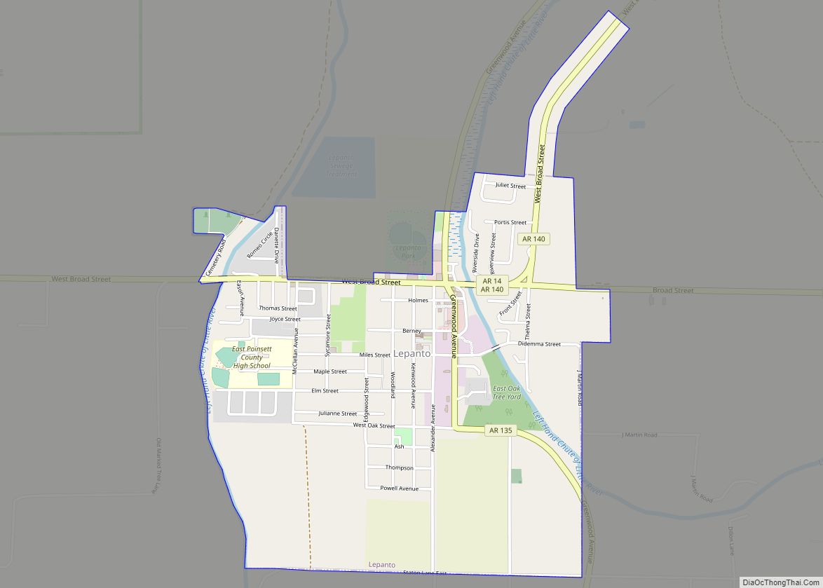
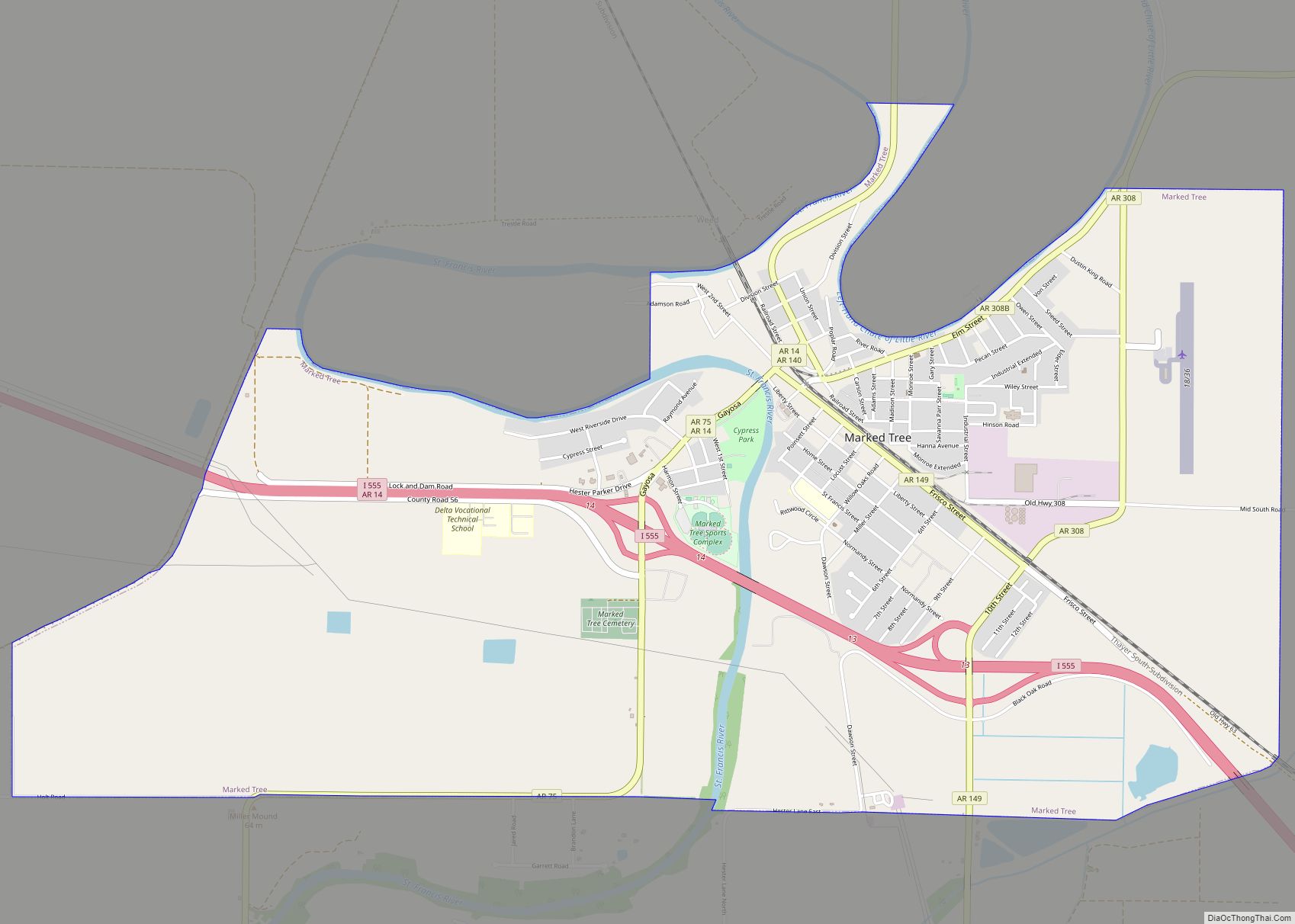
The northern portion became Craighead County, and the south portion became Cross County. Sunken lands were added to eastern Poinsett County during this time, including Lepanto and Marked Tree.
The Civil War devastated the county financially. It did not recover until the railroads were constructed into the area, giving farmers a new avenue to market their crops, and the timber industry developed. The Texas and St. Louis Railway Company completed track through Weiner and the St. Louis and Iron Mountain Railway ran through the center of the county in 1882. The Kansas City, Ft. Scott, and Gulf Railroad opened service in east Poinsett County the following year. Shipping timber had become feasible and was undertaken throughout northeast Arkansas following the completion of railroads. Farmers used the railroads to ship their cotton and farm animals to new markets. Many small railroad towns boomed during this period. Despite this uplift, the county’s population mostly consisted of poor sharecroppers and tenant farmers, with an elite class of white landowners.
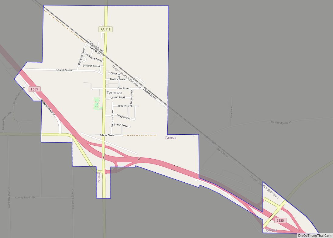
Poinsett County was the hardest hit county by the Great Mississippi Flood of 1927, which flooded thousands of fields and destroyed homes countywide. The Southern Tenant Farmers Union was founded in 1935 in Tyronza during the Great Depression. The organization was an interracial union to improve the pay and working conditions of poor sharecroppers. It met violent resistance from white planters, with union leaders and members attacked and some killed throughout its areas of organizing in Arkansas and Mississippi. The Southern Tenant Farmers Union Museum in Tyronza is operated by Arkansas State University.
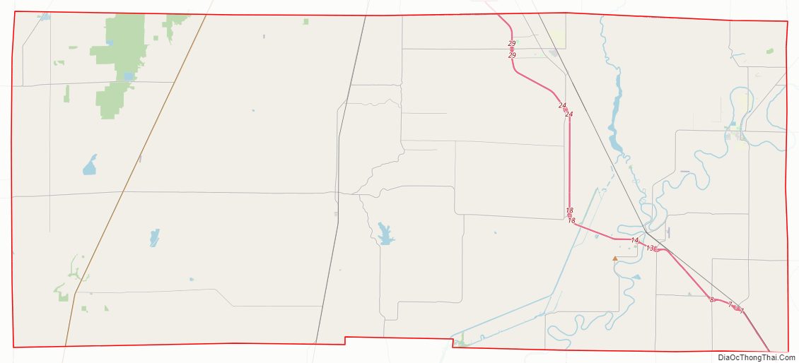
Poinsett County Road Map
Geography
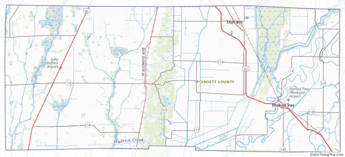
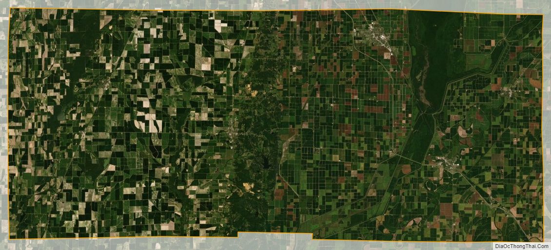
According to the U.S. Census Bureau, the county has a total area of 764 square miles (1,980 km), of which 758 square miles (1,960 km) is land and 5.2 square miles (13 km) (0.7%) is water. Located in Arkansas’s northeast corner, the county is bisected by Crowley’s Ridge and the L’Anguille River which both pass north–south through the county. The soils in the eastern part of the county have been deposited by the Mississippi River and are mostly used for cotton farming. Western Poinsett County is generally dedicated to rice fields. Lake Poinsett State Park is centrally located within the county.
Major highways
- Interstate 555
- U.S. Highway 49
- U.S. Highway 63
- Highway 1
- Highway 14
- Highway 18
- Highway 69
- Highway 75
- Highway 118
- Highway 135
- Highway 136
- Highway 140
- Highway 149
- Highway 158
- Highway 163
- Highway 198
- Highway 214
- Highway 308
- Highway 322
- Highway 373
- Highway 463
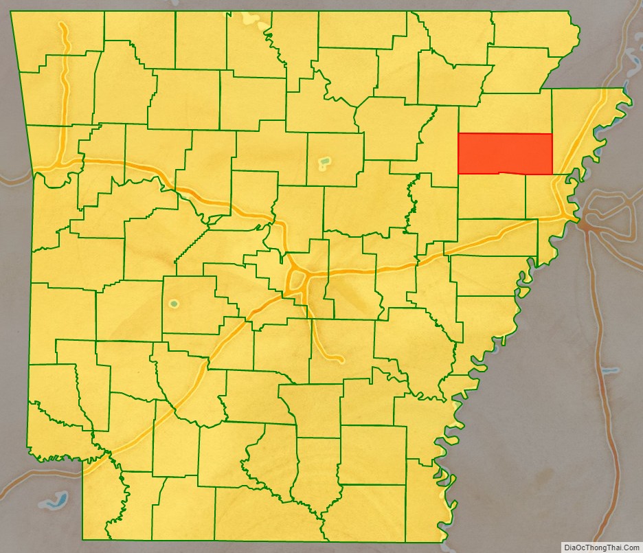
Adjacent counties
- Craighead County (north)
- Mississippi County (east)
- Crittenden County (southeast)
- Cross County (south)
- Jackson County (west)
Poinsett County Topographic Map
Poinsett County Satellite Map
Poinsett County Outline Map