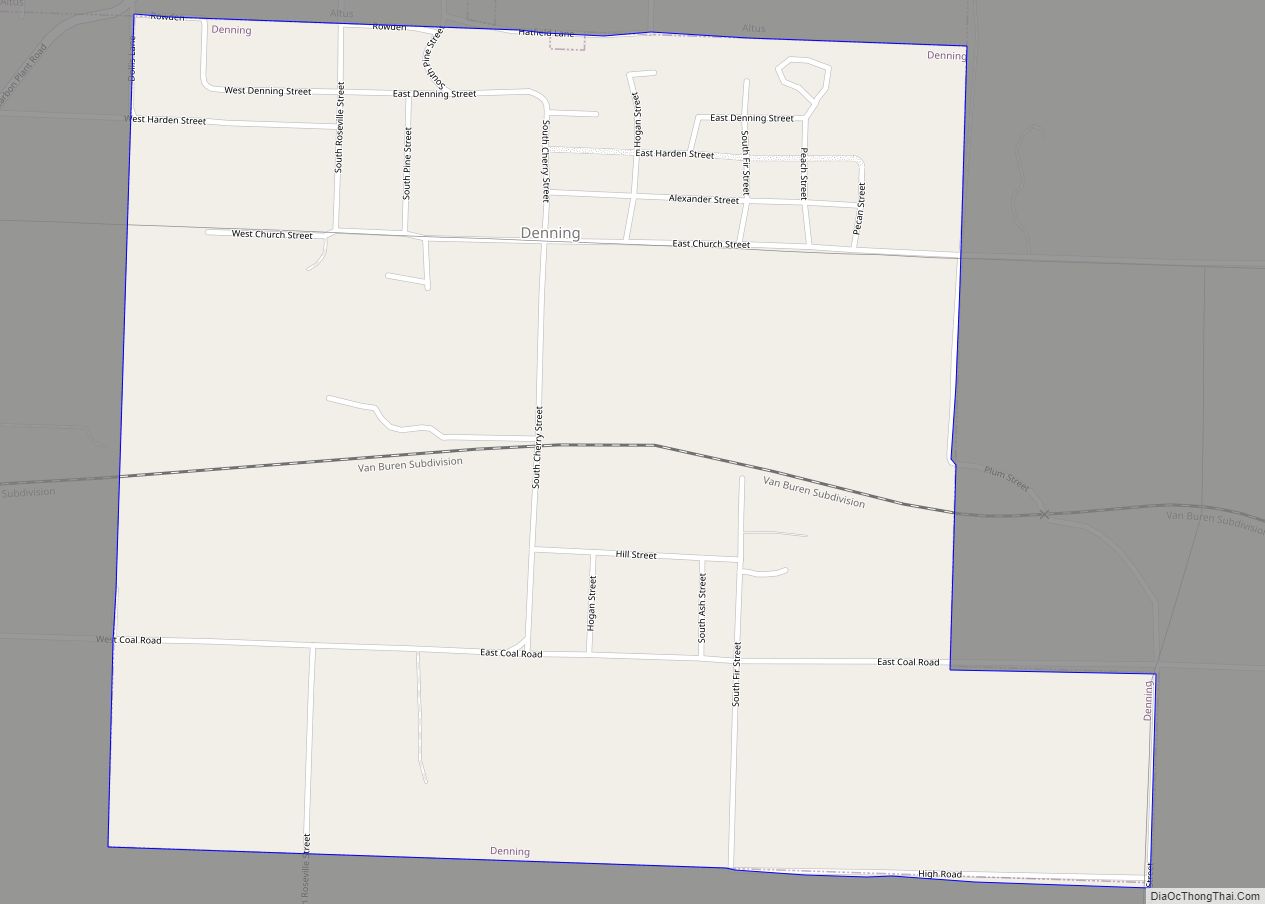
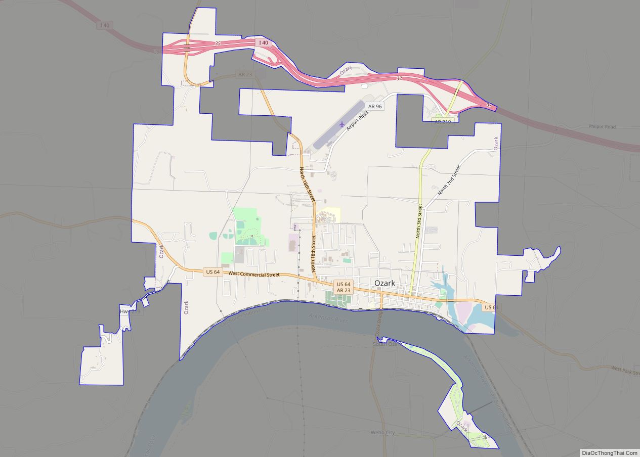
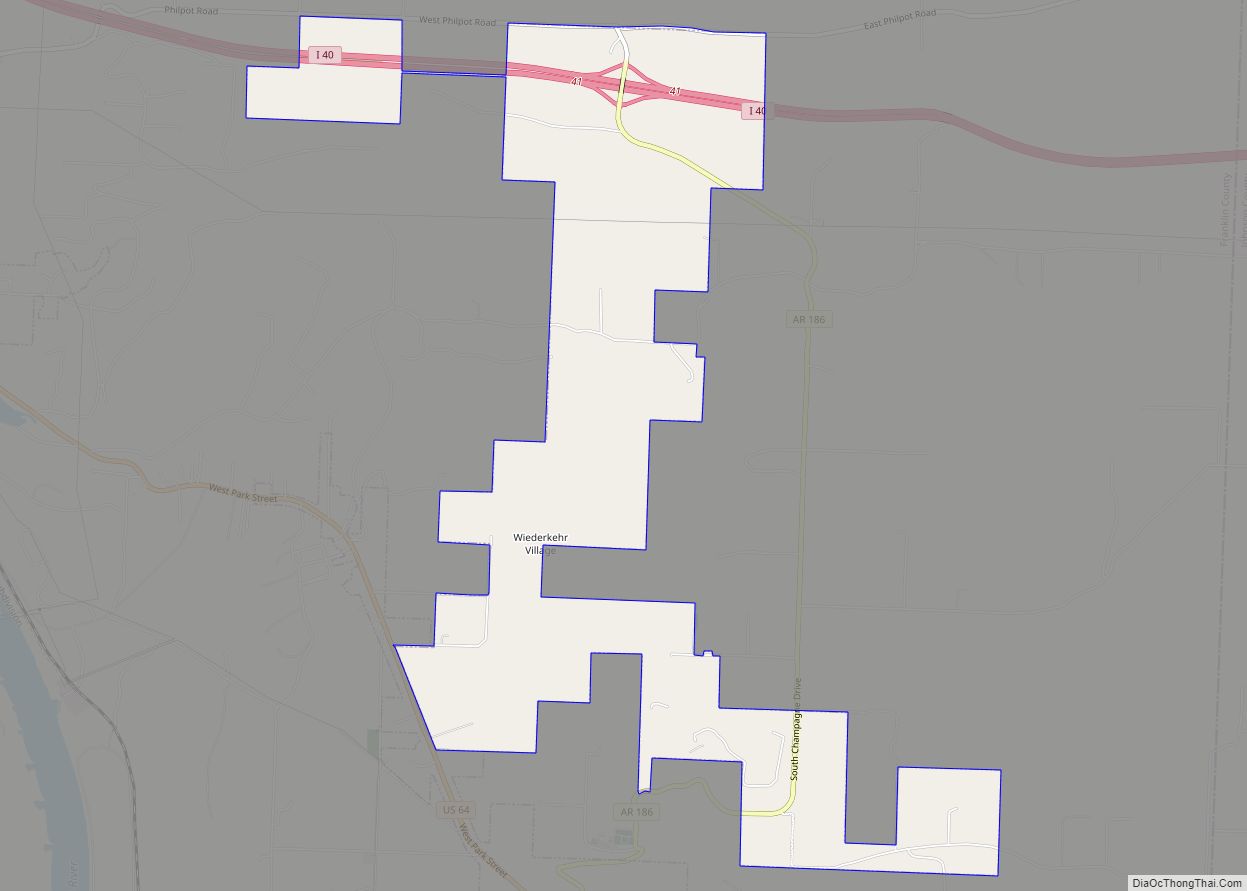
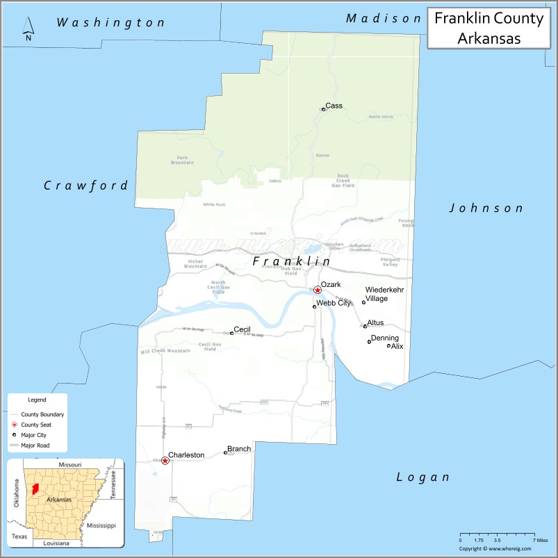
Franklin County is a county in Arkansas. As of the 2020 census, the population was 17,097. The county has two county seats, Charleston and Ozark. The county was formed on December 19, 1837, and named for Benjamin Franklin, American statesman. To the north of the Arkansas River, which bisects Franklin County, the county is wet and alcohol is sold in liquor stores, bars and local vineyards. To the south of the Arkansas River, the county is dry.
| Name: | Franklin County |
|---|---|
| FIPS code: | 05-047 |
| State: | Arkansas |
| Founded: | December 19, 1837 |
| Named for: | Benjamin Franklin |
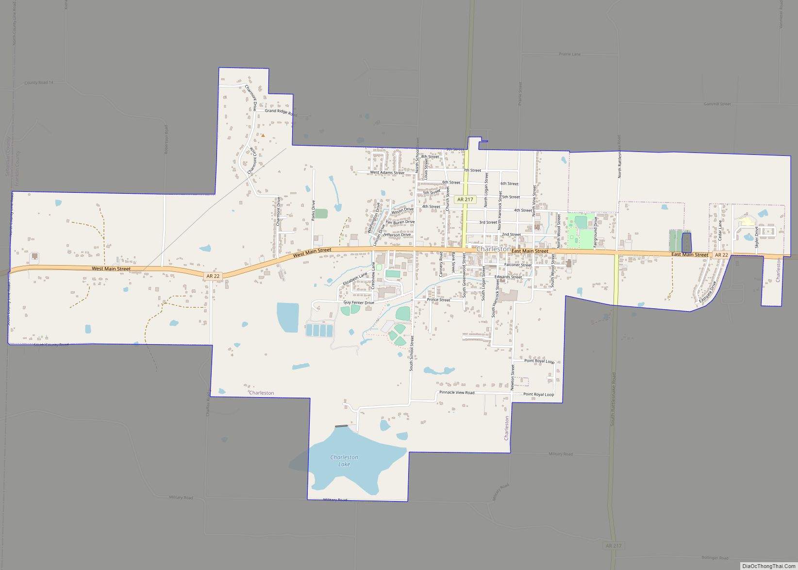
| Seat: | Ozark (northern district); Charleston (southern district) |
| Largest city: | Ozark |
| Total Area: | 620 sq mi (1,600 km²) |
| Land Area: | 609 sq mi (1,580 km²) |
| Total Population: | 17,097 |
| Population Density: | 28/sq mi (11/km²) |
| Time zone: | UTC−6 (Central) |
| Summer Time Zone (DST): | UTC−5 (CDT) |
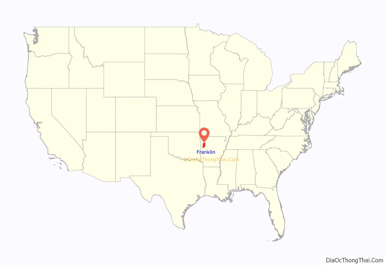
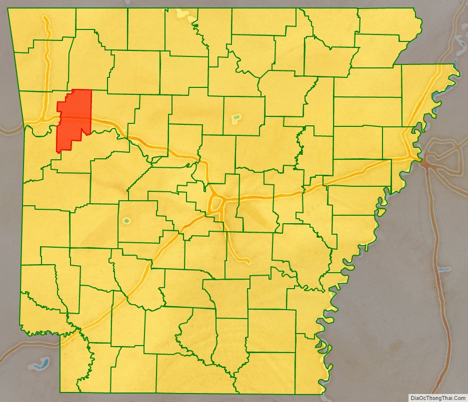
Franklin County location map. Where is Franklin County?
History
Franklin County was carved out of Crawford County in December 1837. At that time, Franklin was significantly larger than it is at present, encompassing part of present-day Logan County which was formed in 1871.
Initially, the county had a single courthouse at Ozark. To promote economic growth in the county, federal land grants were made in 1853 to incentivize the construction and operation of the Little Rock and Fort Smith Railroad. From receivership in 1875 after a railroad debt crisis, it was reorganized as the Little Rock and Fort Smith Railway. A number of towns were established in the 1890s on the north bank of the river along its right of way. Many farmers purchased land that had been owned by the railway. After complaints about how difficult it was to cross the river at times, a second courthouse was established at Charleston for citizens in the settlements south of the river, sometime in the 1890s, probably after 1892 since “Charleston” did not appear in an 1893 railroad map in all capital letters as “OZARK” did. In 1906 the railway was acquired by the St. Louis, Iron Mountain and Southern Railway. In 1917 the line became a backbone of the MoPac, which merged into the Union Pacific Railroad in 1982.
The reality television show, The Simple Life, starring Nicole Richie and Paris Hilton was filmed in Altus in 2003.
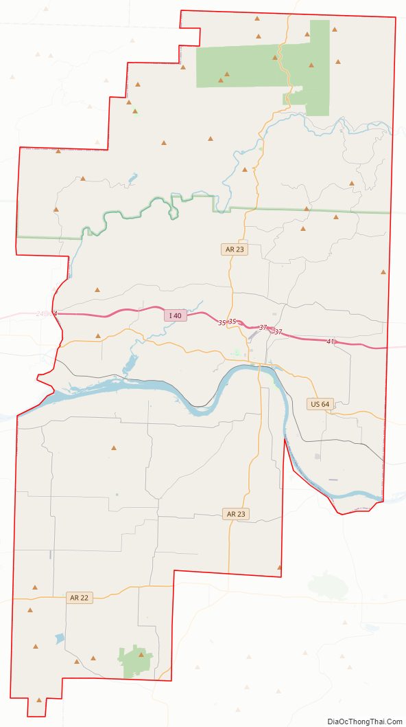
Franklin County Road Map
Geography
According to the U.S. Census Bureau, the county has a total area of 620 square miles (1,600 km), of which 609 square miles (1,580 km) is land and 11 square miles (28 km) (1.7%) is water.
Major highways
- Interstate 40
- U.S. Highway 64
- Highway 22
- Highway 23
- Highway 41
- Highway 60
- Highway 96
Adjacent counties
- Madison County (north)
- Johnson County (east)
- Logan County (southeast)
- Sebastian County (southwest)
- Crawford County (west)
National protected area
- Ozark National Forest (part)
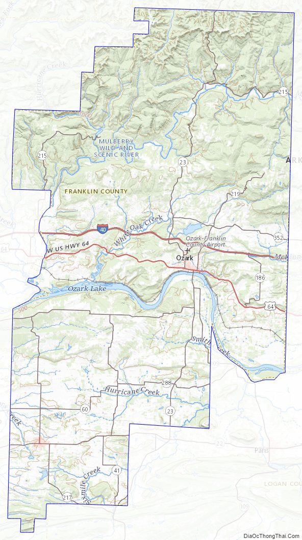
Franklin County Topographic Map
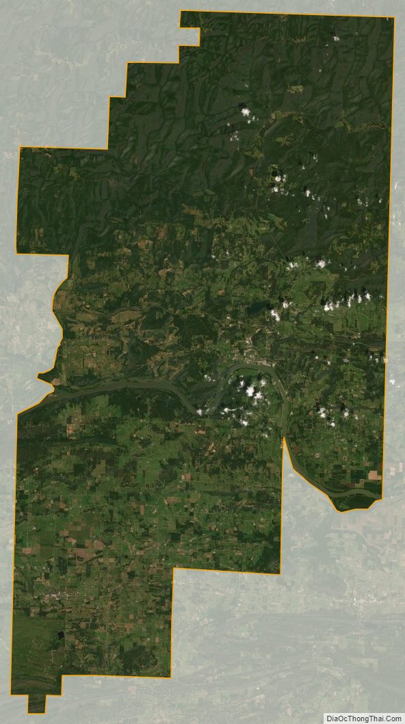
Franklin County Satellite Map
Franklin County Outline Map