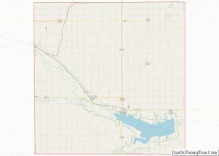
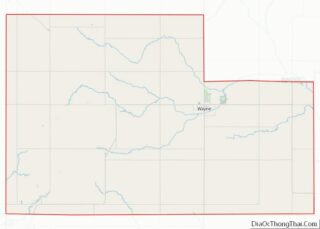
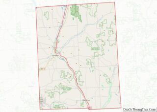
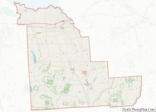
Map of Lamar County, Texas
Lamar County (/ləˈmɑːr/) is a county located in the U.S. state of Texas, in the Northeast Texas region. As of the 2020 census, its population was 50,088. Its county seat is Paris. The county was formed by the Congress of the Republic of Texas on December 17, 1840, and organized the next year. It is ... Read more
Map of Lamar County, Texas
Map of Martin County, Texas
Martin County is a county in the U.S. state of Texas. As of the 2010 census, its population was 5,237. Its county seat is Stanton. The county was created in 1876 and organized in 1884. It is named for Wylie Martin, an early settler. Until November 2018, Martin County was one of six entirely dry ... Read more
Map of Martin County, Texas
Map of Morris County, Texas
Morris County is a county located near the eastern border of the U.S. state of Texas. As of the 2010 census, its population was 11,973. Its county seat is Daingerfield. Morris County is probably named for William Wright Morris, an early judge and planter from Henderson, also in northeast Texas. As of 2016, Morris County ... Read more
Map of Morris County, Texas
Map of Potter County, Texas
Potter County is a county located in the U.S. state of Texas. As of the 2020 census, its population was 118,525. Its county seat is Amarillo. The county was created in 1876 and organized in 1887. It is named for Robert Potter, a politician, signer of the Texas Declaration of Independence, and the Texas Secretary ... Read more
Map of Potter County, Texas
Map of San Jacinto County, Texas
San Jacinto County (/ˌsæn dʒəˈsɪntoʊ/ SAN jə-SIN-toh) is a county in the U.S. state of Texas. As of the 2020 census, its population was 27,402. Its county seat is Coldspring. The county’s name comes from the Battle of San Jacinto which secured Texas’ independence from Mexico and established a republic in 1836. San Jacinto County ... Read more
Map of San Jacinto County, Texas
Map of Tarrant County, Texas
Tarrant County is located in the U.S. state of Texas. As of 2020, it had a population of 2,110,640. It is Texas’ third-most populous county and the 15th-most populous in the United States. Its county seat is Fort Worth. Tarrant County, one of 26 counties created out of the Peters Colony, was established in 1849 ... Read more
Map of Tarrant County, Texas
Map of Walker County, Texas
Walker County is a county located in the east central section of the U.S. state of Texas. As of the 2020 census, its population was 76,400. Its county seat is Huntsville. Initially, Walker County was named for Robert J. Walker, a legislator from Mississippi who introduced into the United States Congress the resolution to annex ... Read more
Map of Walker County, Texas
Map of Young County, Texas
Young County is a county located in the U.S. state of Texas. As of the 2020 census, its population was 17,867. Its county seat is Graham. The county was created in 1856 and organized in 1874. It is named for William Cocke Young, an early Texas settler and soldier. Young County overview: Name: Young County ... Read more
Map of Young County, Texas
Map of Millard County, Utah
Millard County (/ˈmɪlərd/ MIL-ərd) is a county in the U.S. state of Utah. As of the 2010 United States Census, the population was 12,503. Its county seat is Fillmore, and the largest city is Delta. Millard County overview: Name: Millard County FIPS code: 49-027 State: Utah Founded: October 4, 1851 Named for: Millard Fillmore Seat: ... Read more
Map of Millard County, Utah
Map of Addison County, Vermont
Addison County is a county located in the U.S. state of Vermont. As of the 2020 census, the population was 37,363. Its shire town (county seat) is the town of Middlebury. Addison County overview: Name: Addison County FIPS code: 50-001 State: Vermont Founded: 1785 Named for: Joseph Addison Largest town: Middlebury Total Area: 808 sq mi (2,090 km²) ... Read more
Map of Addison County, Vermont
Map of Alexandria City, Virginia
Alexandria is an independent city in the northern region of the Commonwealth of Virginia, United States. It lies on the western bank of the Potomac River approximately 7 miles (11 km) south of downtown Washington, D.C. Alexandria is the third-largest “principal city” of the Washington metropolitan area which is part of the larger Washington-Baltimore combined statistical ... Read more
Map of Alexandria City, Virginia
Map of Buena Vista City, Virginia
Buena Vista City overview: Name: Buena Vista City FIPS code: 51-530 State: Virginia Total Area: 6.52 sq mi (16.89 km²) Land Area: 6.44 sq mi (16.67 km²) Total Population: 6,641 Population Density: 1,000/sq mi (390/km²) Buena Vista City location map. Where is Buena Vista City? History Formerly named Hart’s Bottom, Green Forest or Green Valley until 1888, and chartered as a town ... Read more
Map of Buena Vista City, Virginia