Douglas County is a county located in the south-central portion of the U.S. state of Missouri. As of the 2020 census, the population was 11,578. The county seat and only incorporated community is Ava. The county was officially organized on October 19, 1857, and is named after U.S. Senator Stephen A. Douglas (D-Illinois) and later Democratic presidential candidate.
| Name: | Douglas County |
|---|---|
| FIPS code: | 29-067 |
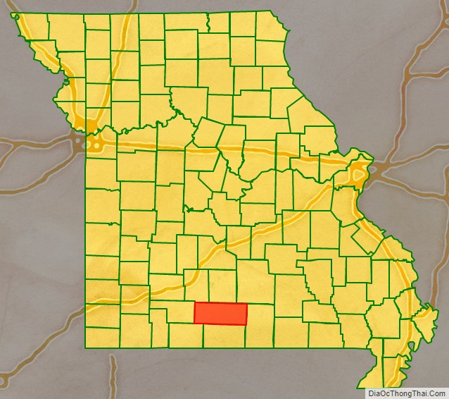
| State: | Missouri |
| Founded: | October 19, 1857 |
| Named for: | Stephen A. Douglas |
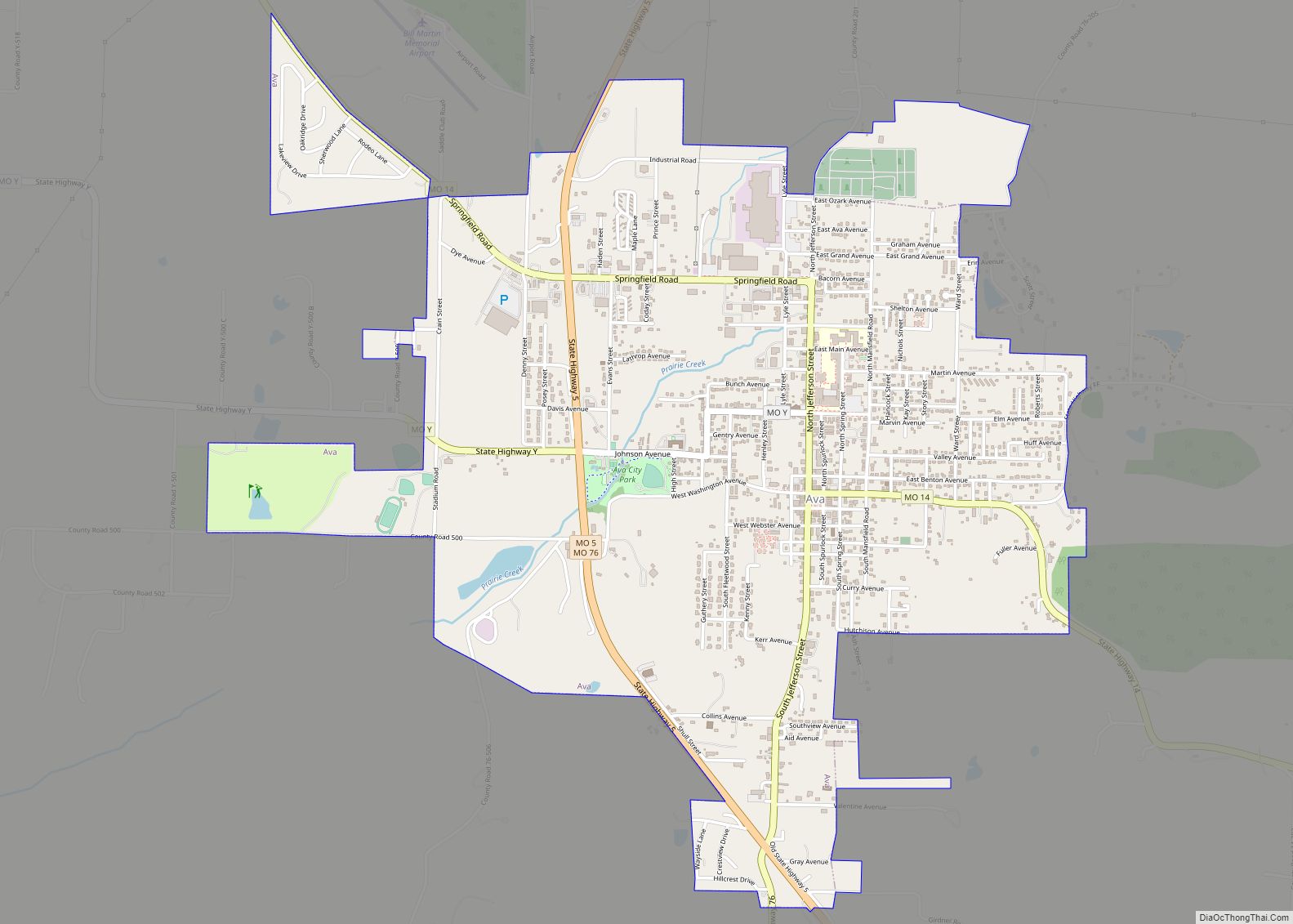
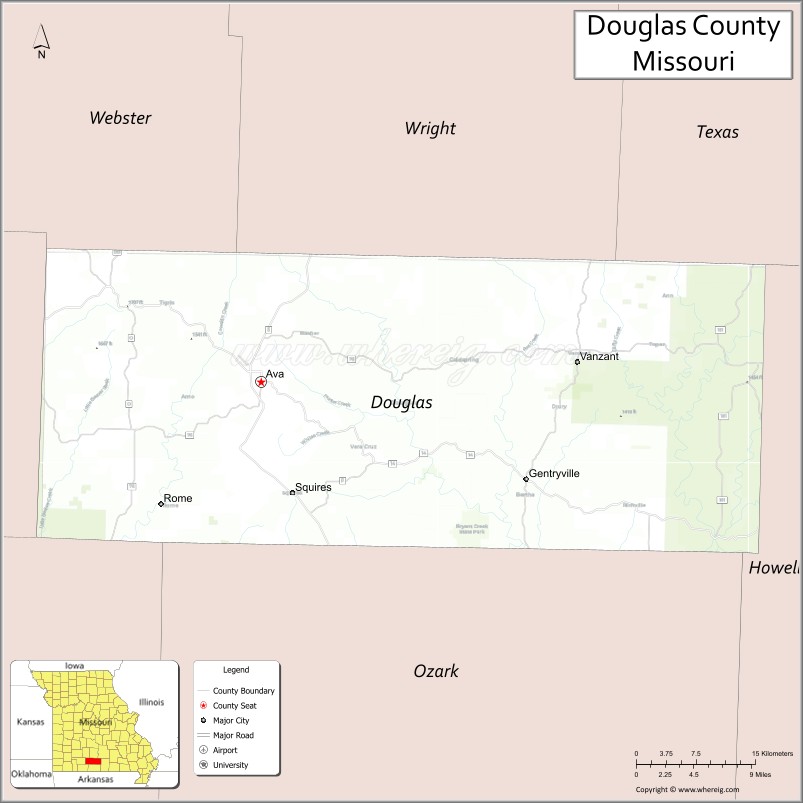
| Seat: | Ava |
| Largest city: | Ava |
| Total Area: | 815 sq mi (2,110 km²) |
| Land Area: | 814 sq mi (2,110 km²) |
| Total Population: | 11,578 |
| Population Density: | 14/sq mi (5.5/km²) |
| Time zone: | UTC−6 (Central) |
| Summer Time Zone (DST): | UTC−5 (CDT) |
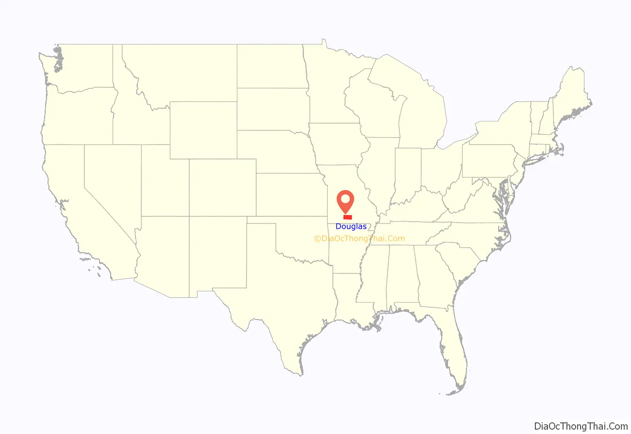
Douglas County location map. Where is Douglas County?
History
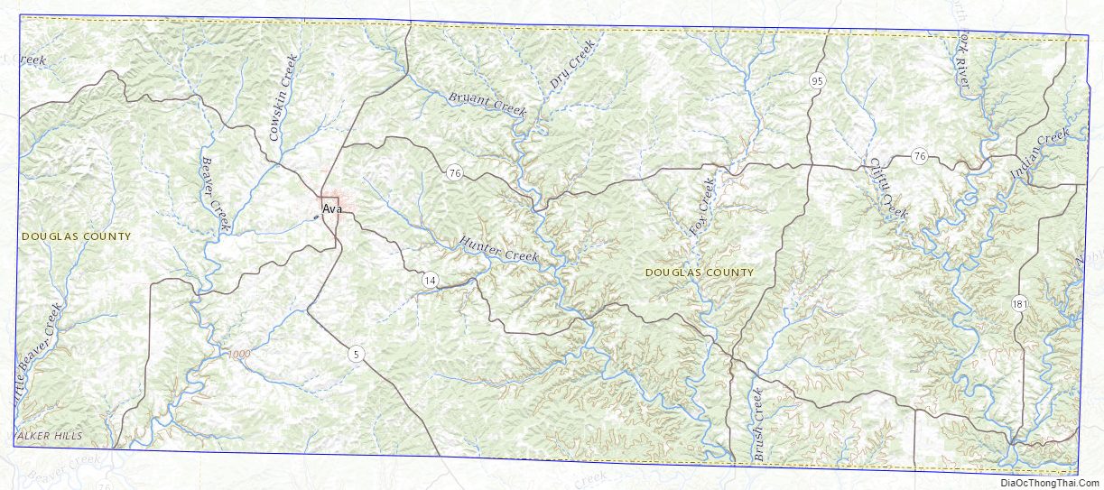
Previously, the county seat was located at Arno, west of Ava. Prior to that, Vera Cruz (formerly called Red Bud) was the county seat. Vera Cruz is located on Bryant Creek, which flows through the middle of the county. The Civil War Battle of Clark’s Mill took place near Vera Cruz on November 7, 1862, and resulted in a Confederate victory. After the American Civil War, during a period of general chaos, a group from the western part of the county broke into the Arno courthouse and removed the records back to Vera Cruz. Later in 1871, a new town site was selected, present-day Ava, near the location of the former U.S. Civil War military Post Office, Militia Spring. The location of this new town seemed to satisfy most of the residents of Douglas County to be their point of county government.
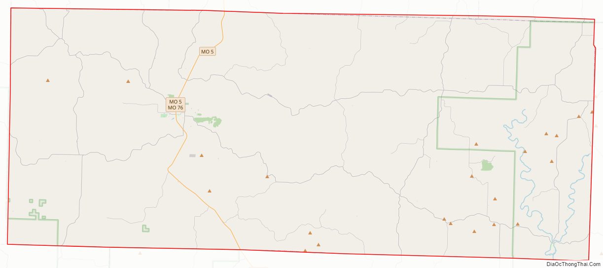
Douglas County Road Map
Geography
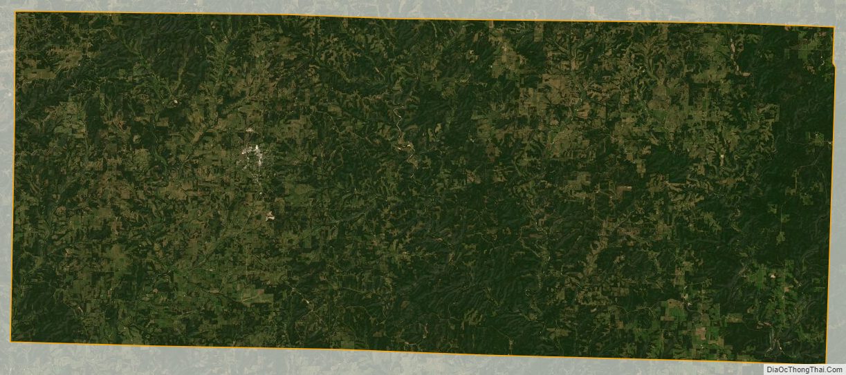
According to the U.S. Census Bureau, the county has a total area of 815 square miles (2,110 km), of which 814 square miles (2,110 km) is land and 1.0 square mile (2.6 km) (0.1%) is water.
Adjacent counties
- Webster County (northwest)
- Wright County (north)
- Texas County (northeast)
- Howell County (east)
- Ozark County (south)
- Taney County (southwest)
- Christian County (west)
Major highways
- Route 5
- Route 14
- Route 76
- Route 95
- Route 181
National protected area
- Mark Twain National Forest (part)
Douglas County Topographic Map
Douglas County Satellite Map
Douglas County Outline Map