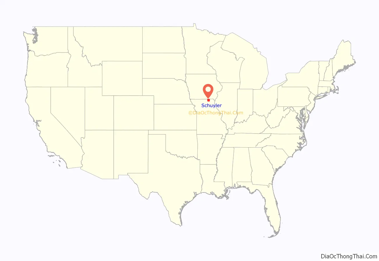
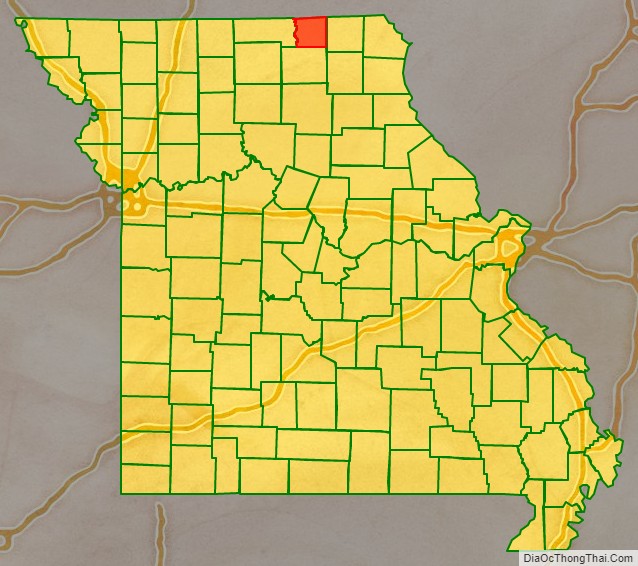
| Name: | Schuyler County |
|---|---|
| FIPS code: | 29-197 |
| State: | Missouri |
| Founded: | February 14, 1845 |
| Named for: | Philip Schuyler |
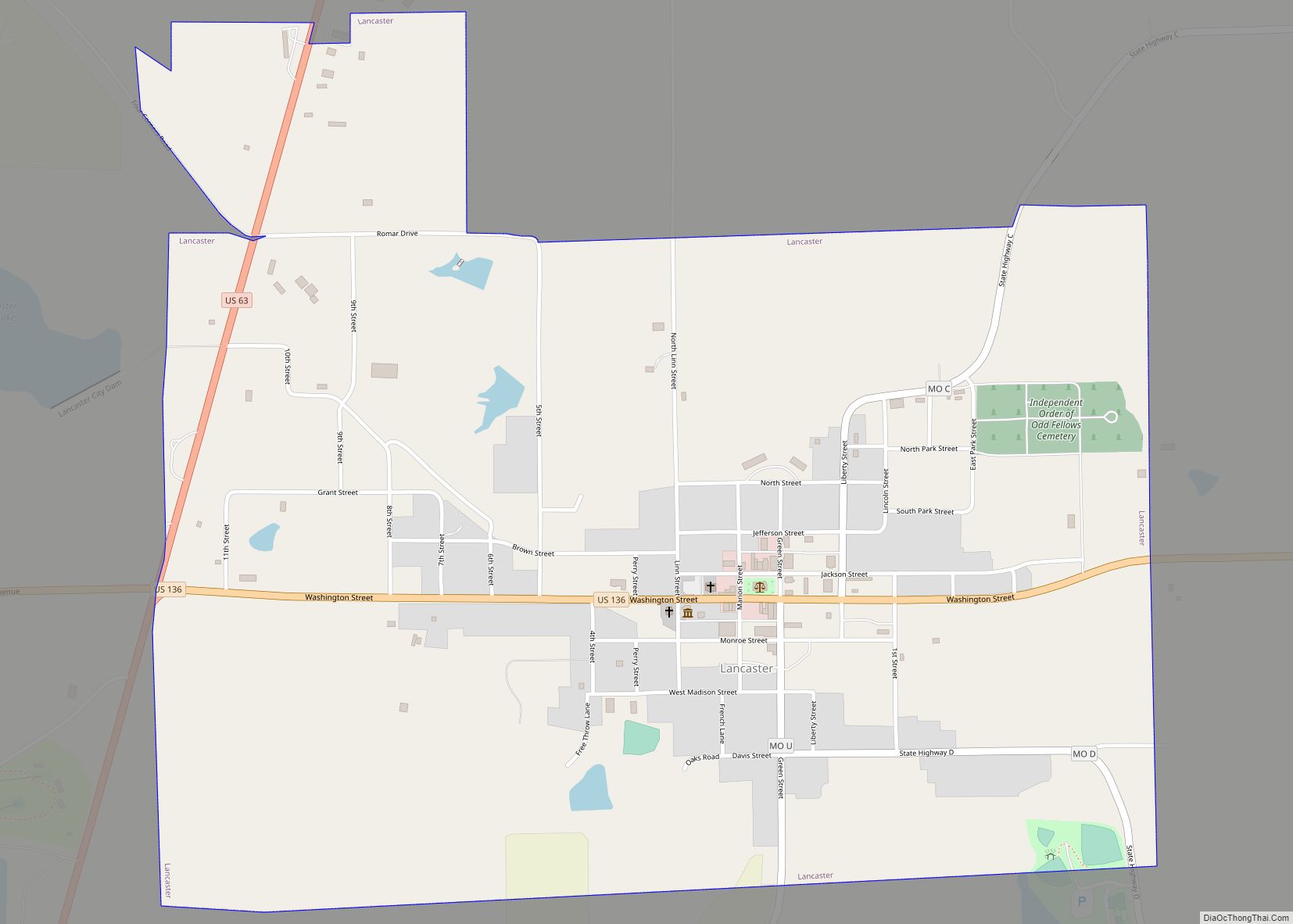
| Seat: | Lancaster |
| Largest city: | Lancaster |
| Total Area: | 308 sq mi (800 km²) |
| Land Area: | 307 sq mi (800 km²) |
| Total Population: | 4,032 |
| Population Density: | 13/sq mi (5.1/km²) |
| Time zone: | UTC−6 (Central) |
| Summer Time Zone (DST): | UTC−5 (CDT) |
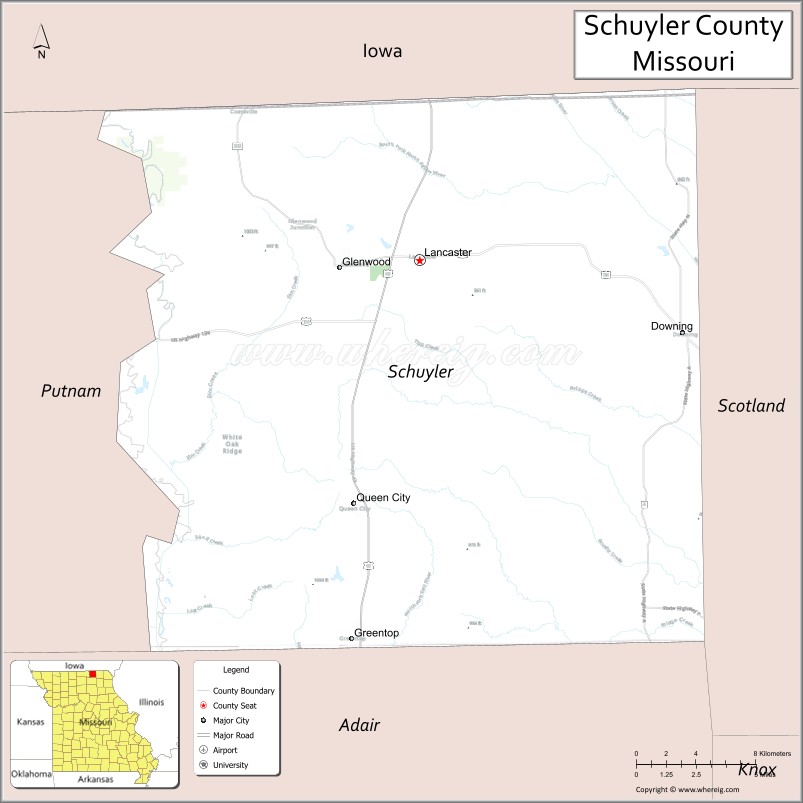
Schuyler County location map. Where is Schuyler County?
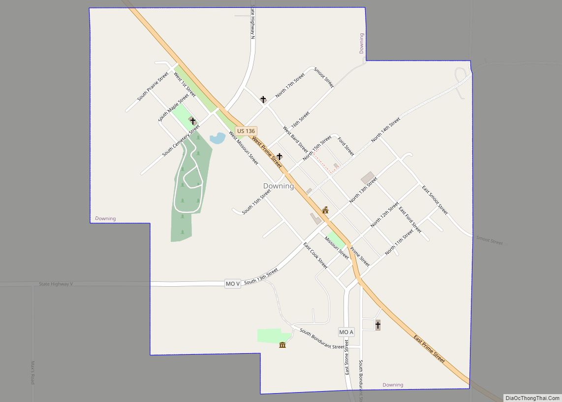
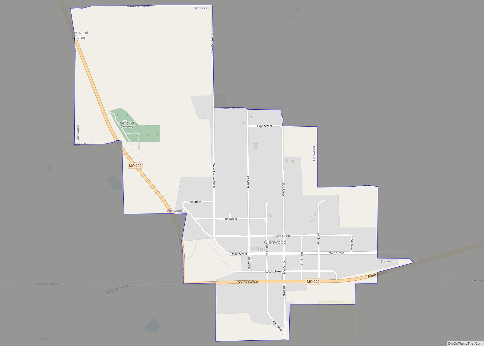
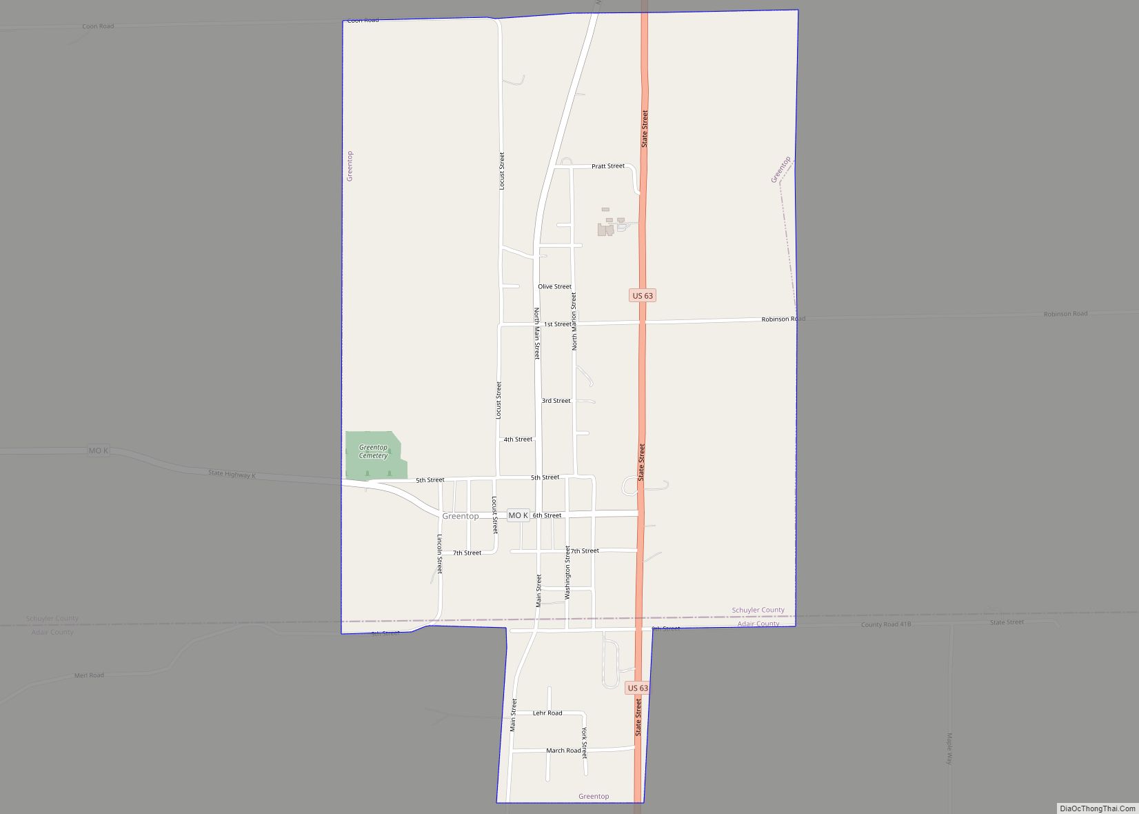
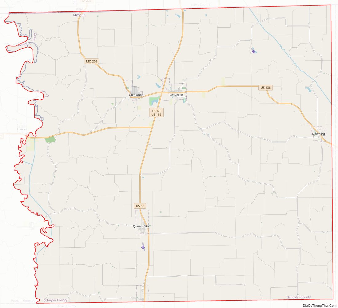
Schuyler County Road Map
Geography
According to the U.S. Census Bureau, the county has a total area of 308 square miles (800 km), of which 307 square miles (800 km) is land and 0.9 square miles (2.3 km) (0.3%) is water. It is the second-smallest county in Missouri by area. Schuyler County borders Iowa to the north.
Adjacent counties
- Appanoose County, Iowa (northwest)
- Davis County, Iowa (northeast)
- Scotland County (east)
- Adair County (south)
- Putnam County (west)
Major highways
- U.S. Route 63
- U.S. Route 136
- Route 202
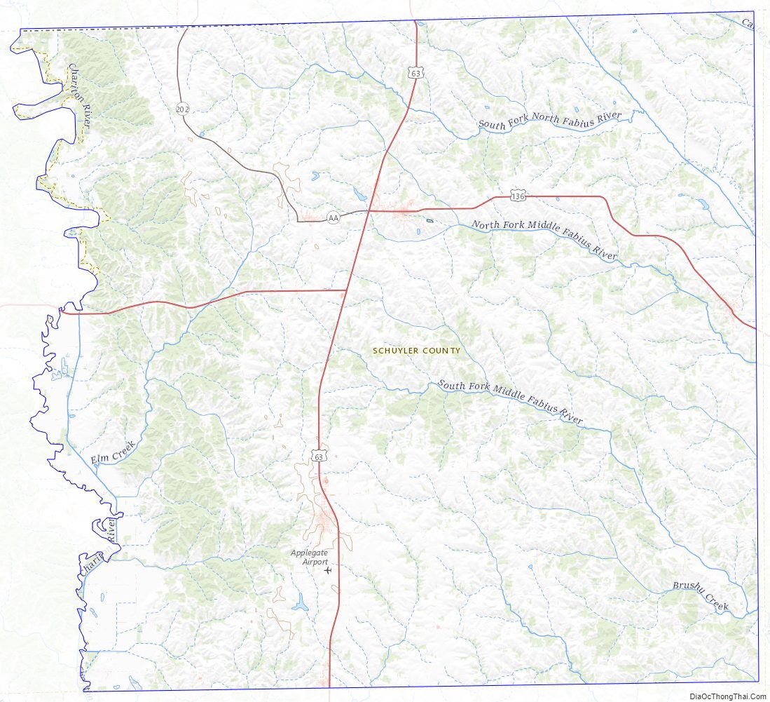
Schuyler County Topographic Map
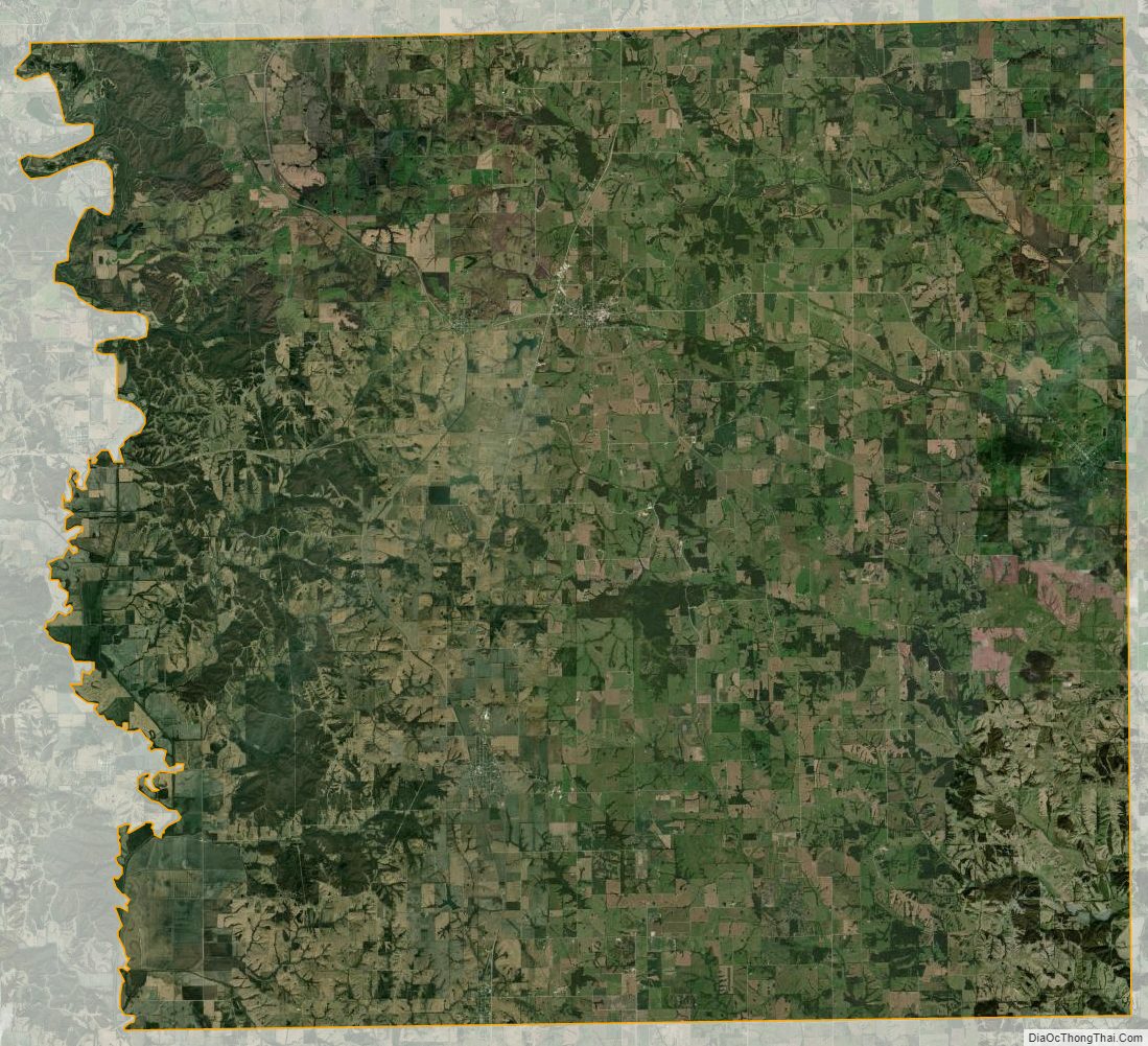
Schuyler County Satellite Map
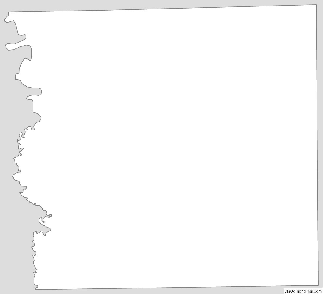
Schuyler County Outline Map