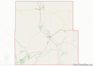
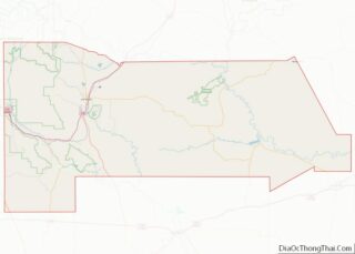
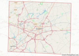
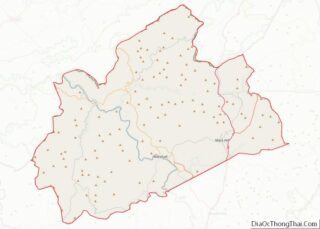
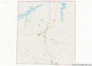
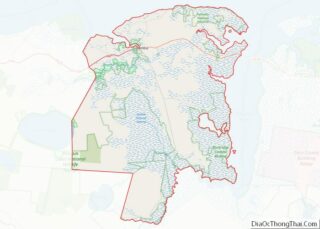
Map of Marion County, Mississippi
Marion County is a county located in the U.S. state of Mississippi. As of the 2020 census, the population was 24,441. Its county seat is Columbia. Marion County is named for American Revolutionary War guerrilla leader Francis Marion also known as The Swamp Fox. Marion County overview: Name: Marion County FIPS code: 28-091 State: Mississippi ... Read more
Map of Marion County, Mississippi
Map of Scott County, Mississippi
Scott County is a county located in the U.S. state of Mississippi. As of the 2020 census, the population was 27,990. Its county seat is Forest. The county is named for Abram M. Scott, the Governor of Mississippi from 1832 to 1833. Scott County overview: Name: Scott County FIPS code: 28-123 State: Mississippi Founded: 1833 ... Read more
Map of Scott County, Mississippi
Map of Webster County, Mississippi
Webster County is a county located in center of the U.S. state of Mississippi, bordered on the south by the Big Black River. As of the 2020 census, the population was 9,926. The county was organized in 1874 during the Reconstruction era; the biracial legislature named it after Massachusetts statesman Daniel Webster. Its county seat ... Read more
Map of Webster County, Mississippi
Map of Butler County, Missouri
Butler County is a county located in the southeast Ozark Foothills Region in the U.S. state of Missouri. As of the 2020 Census, the county’s population was 42,130. The largest city and county seat is Poplar Bluff. The county was officially organized from Wayne County on February 27, 1849, and is named after former U.S. ... Read more
Map of Butler County, Missouri
Map of Crawford County, Missouri
Crawford County is a county located in the east-central portion of the U.S. state of Missouri. At the 2010 Census, the population was 24,696. Its county seat is Steelville. The county was organized in 1829 and is named after U.S. Senator William H. Crawford of Georgia. The section of Sullivan which is located in Crawford ... Read more
Map of Crawford County, Missouri
Map of Holt County, Missouri
Holt County is a county located in the northwestern portion of the U.S. state of Missouri. As of the 2020 census, the population was 4,223. It’s county seat is Oregon. The county was organized February 15, 1841. Originally named Nodaway County, it was soon renamed for David Rice Holt (1803–1840), a Missouri state legislator from ... Read more
Map of Holt County, Missouri
Map of Macon County, Missouri
Macon County is a county located in the northern portion of the U.S. state of Missouri. As of the 2020 census, the population was 15,209. Its county seat is Macon. The county was organized January 6, 1837, and named for Nathaniel Macon, a Revolutionary War hero and North Carolina politician. Macon County overview: Name: Macon ... Read more
Map of Macon County, Missouri
Map of Osage County, Missouri
Osage County is a county in the central part of the U.S. state of Missouri. As of the 2020 census, the population was 13,274. Its county seat is Linn. The county was organized January 29, 1841, and named from the Osage River. Osage County is part of the Jefferson City, MO Metropolitan Statistical Area. Its ... Read more
Map of Osage County, Missouri
Map of St. Charles County, Missouri
St. Charles County is in the central eastern part of the U.S. state of Missouri. As of the 2020 census, the population was 405,262, making it Missouri’s third-most populous county. Its county seat is St. Charles. The county was organized October 1, 1812, and named for Saint Charles Borromeo, an Italian cardinal. St. Charles County ... Read more
Map of St. Charles County, Missouri
Map of Vernon County, Missouri
Vernon County is located in the western region of the U.S. state of Missouri, on the border with Kansas. As of the 2010 census, the population was 21,159. Its county seat is Nevada. The county was organized on February 27, 1855, considerably later than counties in the eastern part of the state. It was named ... Read more
Map of Vernon County, Missouri
Map of Daniels County, Montana
Daniels County is a county located in the U.S. state of Montana. As of the 2020 census, the population was 1,661. Its county seat is Scobey. It is on Montana’s north border, and thus abuts the Canada–US border with Saskatchewan. Daniels County overview: Name: Daniels County FIPS code: 30-019 State: Montana Founded: 1920 Named for: ... Read more
Map of Daniels County, Montana
Map of Liberty County, Montana
Liberty County is a county located in the U.S. state of Montana. As of the 2020 census, the population was 1,959. Its county seat is Chester. The decision to separate the future Liberty County area from the previous Hill and Chouteau counties was carried in a 1919 vote; the organization was authorized to commence in ... Read more
Map of Liberty County, Montana