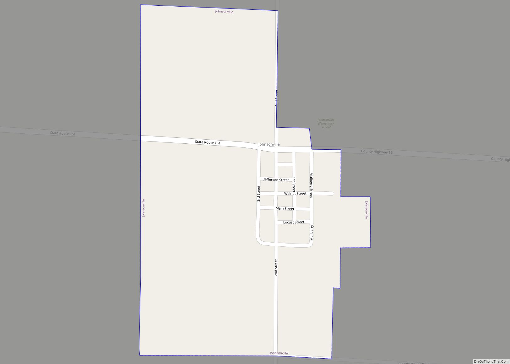
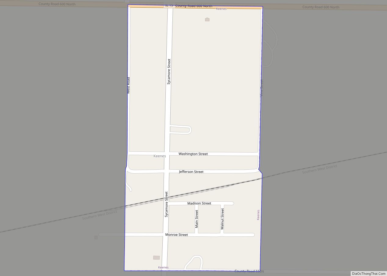
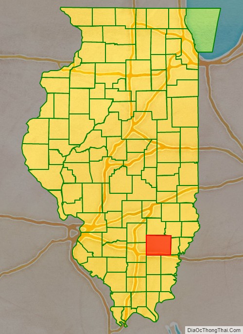
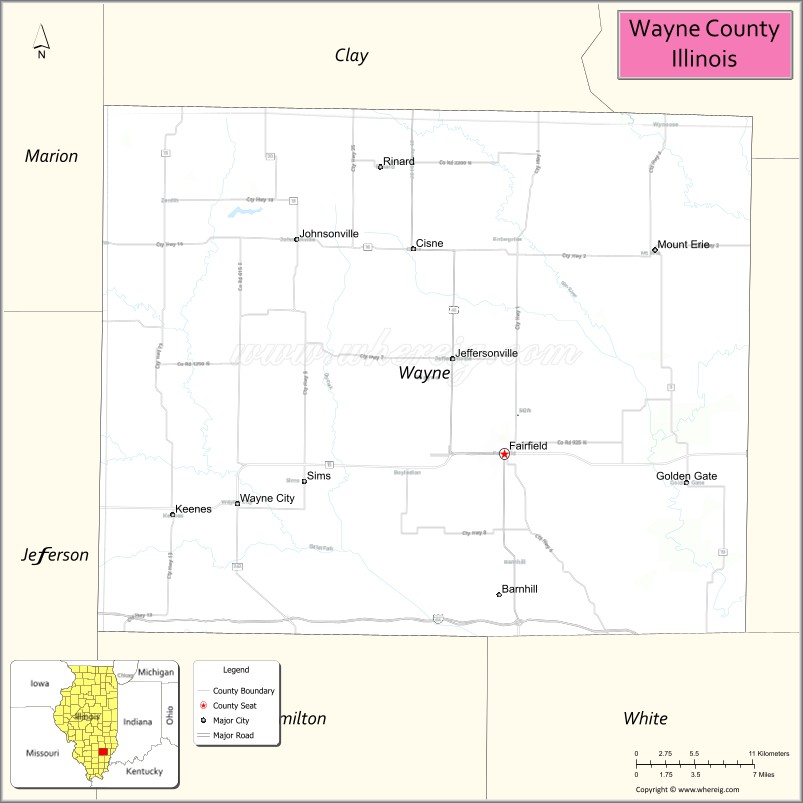
Wayne County is a county located in the U.S. state of Illinois. According to the 2010 census, it had a population of 16,760. Its county seat is Fairfield. It is located in the southern portion of Illinois known locally as “Little Egypt”.
| Name: | Wayne County |
|---|---|
| FIPS code: | 17-191 |
| State: | Illinois |
| Founded: | 1819 |
| Named for: | Anthony Wayne |
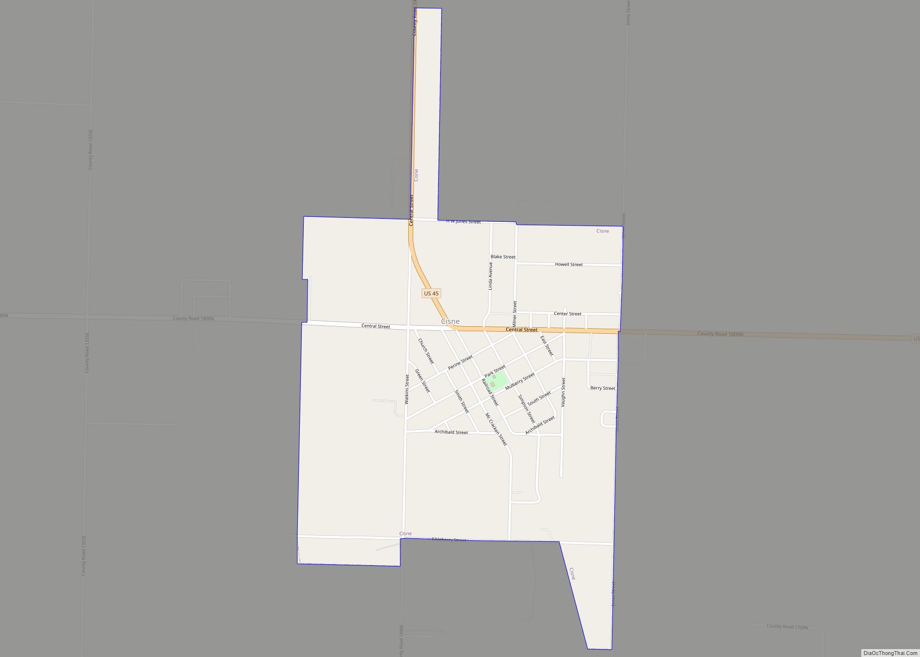
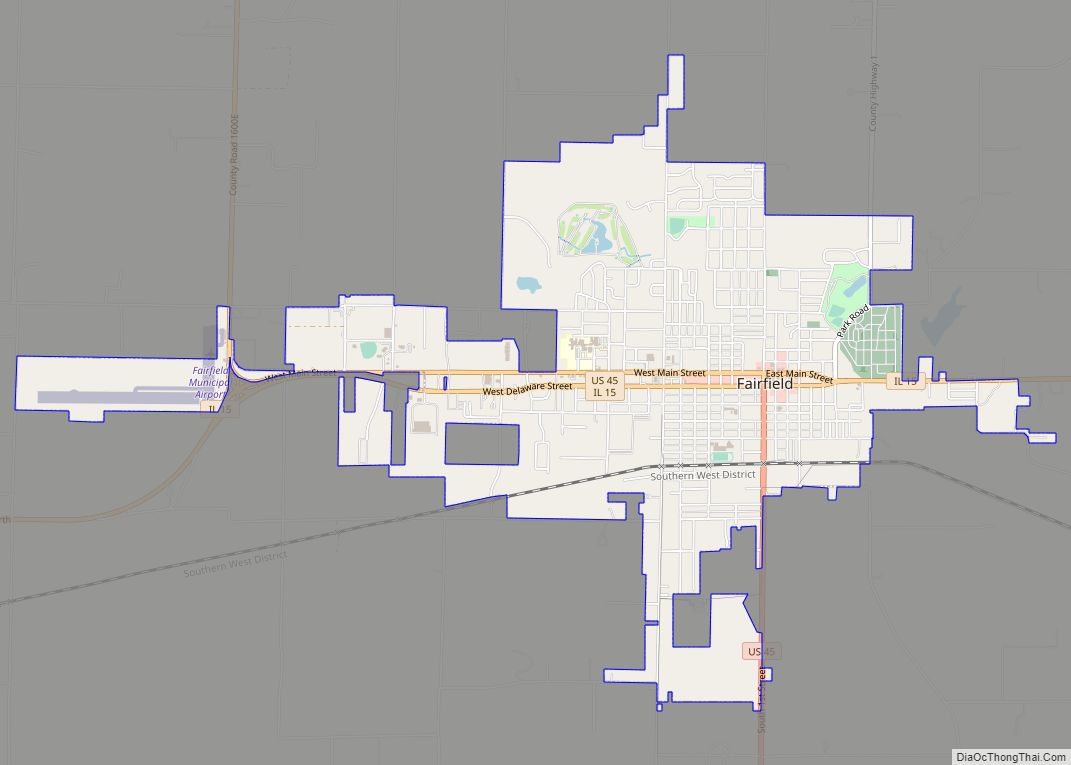
| Seat: | Fairfield |
| Largest city: | Fairfield |
| Total Area: | 715 sq mi (1,850 km²) |
| Land Area: | 714 sq mi (1,850 km²) |
| Total Population: | 16,760 |
| Population Density: | 23/sq mi (9.1/km²) |
| Time zone: | UTC−6 (Central) |
| Summer Time Zone (DST): | UTC−5 (CDT) |
| Website: | www.fairfield-il.com/county/ |
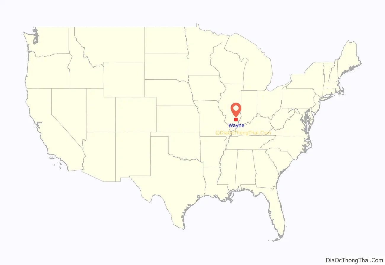
Wayne County location map. Where is Wayne County?
History
Wayne County was formed in 1819 out of Edwards County. It is named after Gen. “Mad Anthony” Wayne, an officer in the Revolutionary War and Northwest Indian War.
Wayne County between its 1819 creation and 1821
Wayne County between 1821 and 1824
Wayne County in 1824, reduced to its current size
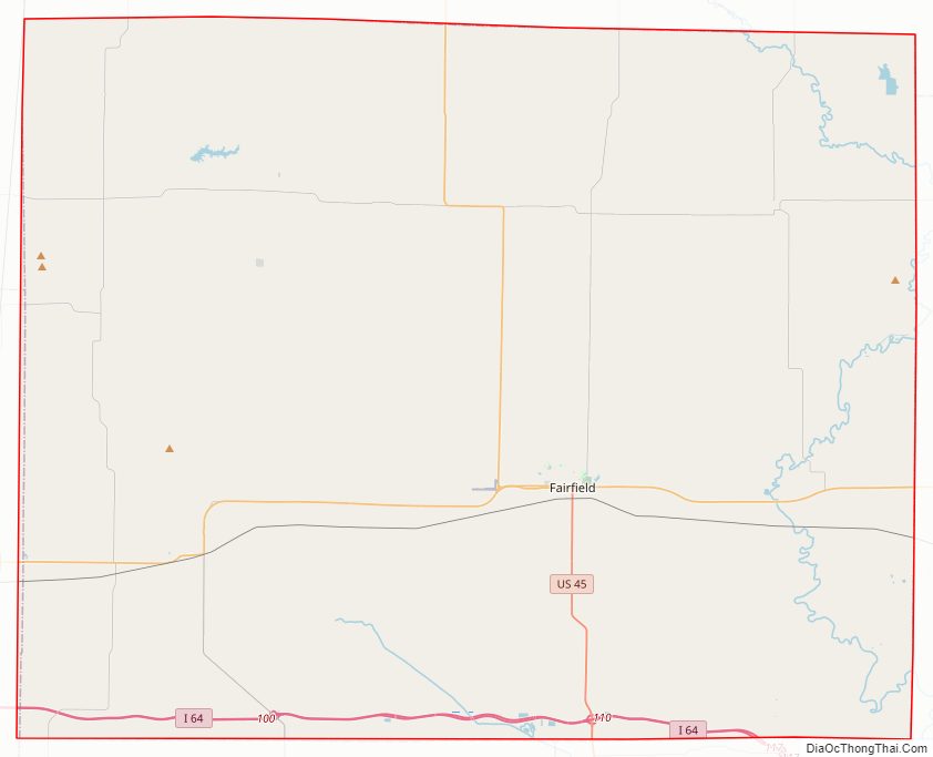
Wayne County Road Map
Geography
According to the U.S. Census Bureau, the county has a total area of 715 square miles (1,850 km), of which 714 square miles (1,850 km) is land and 1.7 square miles (4.4 km) (0.2%) is water.
Climate and weather
In recent years, average temperatures in the county seat of Fairfield have ranged from a low of 20 °F (−7 °C) in January to a high of 88 °F (31 °C) in July, although a record low of −23 °F (−31 °C) was recorded in January 1994 and a record high of 113 °F (45 °C) was recorded in July 1901. Average monthly precipitation ranged from 2.70 inches (69 mm) in February to 4.80 inches (122 mm) in April.
Major highways
- Interstate 64
- U.S. Highway 45
- Illinois Route 15
- Illinois Route 242
Adjacent counties
- Clay County (north)
- Richland County (northeast)
- Edwards County (east)
- White County (southeast)
- Hamilton County (south)
- Jefferson County (southwest)
- Marion County (northwest)
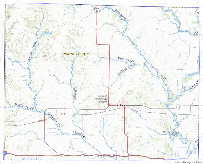
Wayne County Topographic Map
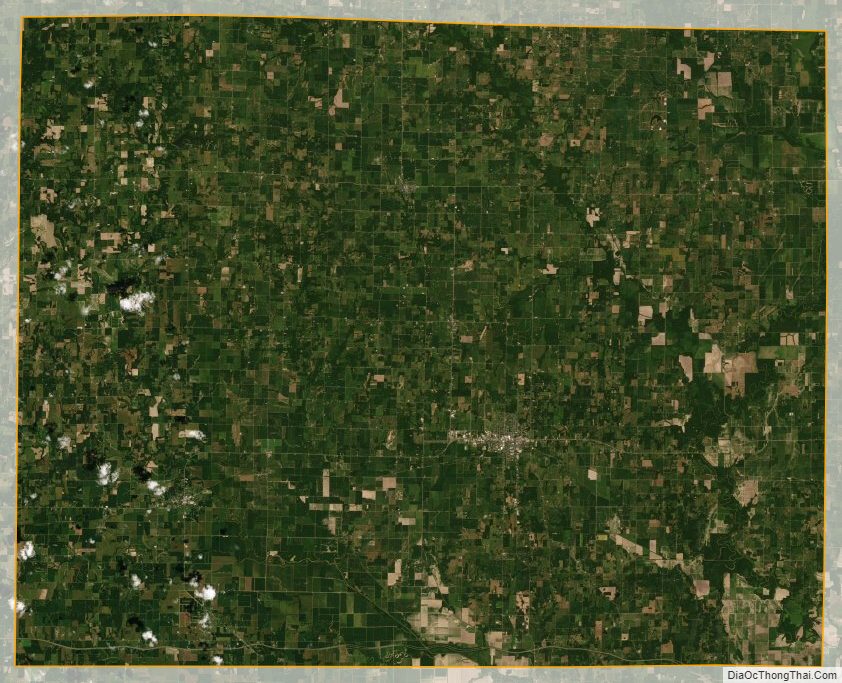
Wayne County Satellite Map
Wayne County Outline Map