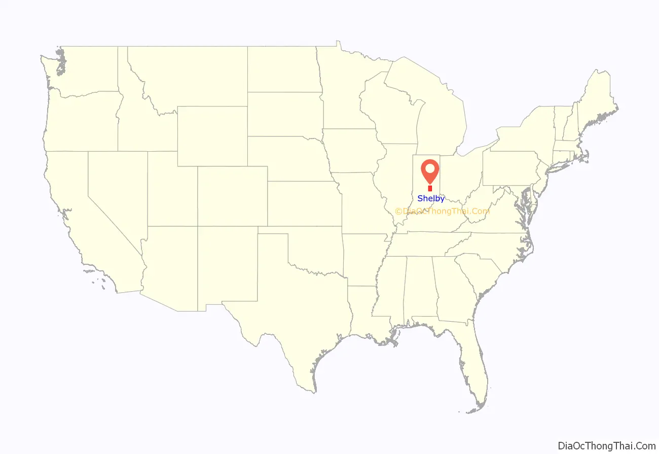
Shelby County is a county in the U.S. state of Indiana. As of the 2010 United States Census, the population was 44,436. The county seat (and only incorporated city) is Shelbyville.
| Name: | Shelby County |
|---|---|
| FIPS code: | 18-145 |
| State: | Indiana |
| Founded: | 31 December 1821 (authorized) 1822 (organized) |
| Named for: | Isaac Shelby |
| Seat: | Shelbyville |
| Largest city: | Shelbyville |
| Total Area: | 412.76 sq mi (1,069.0 km²) |
| Land Area: | 411.15 sq mi (1,064.9 km²) |
| Population Density: | 108.5/sq mi (41.9/km²) |
Shelby County location map. Where is Shelby County?
History
After the American Revolutionary War established US sovereignty over the territory of the upper midwest, the new federal government defined the Northwest Territory in 1787, which included the area of present-day Indiana. In 1800, Congress separated Ohio from the Northwest Territory, designating the rest of the land as the Indiana Territory. President Thomas Jefferson chose William Henry Harrison as the governor of the territory, and Vincennes was established as the capital. After the Michigan Territory was separated and the Illinois Territory was formed, Indiana was reduced to its current size and geography. By December 1816 the Indiana Territory was admitted to the Union as a state.
The Native people who inhabited these areas prior to arrival of European settlers were generally resistant to the loss of their lands. As settlers pushed into the area, treaties signed by some leaders with United States representatives ceded large areas of their territory to the US. Starting in 1794, Native American titles to Indiana lands were extinguished by usurpation, purchase, or war and treaty. The United States acquired land from the Native Americans in the 1809 treaty of Fort Wayne, and by the treaty of St. Mary’s in 1818, which included the future Shelby County.
The Indiana State Legislature passed a bill on 31 December 1821 that authorized the creation of four counties, including Shelby. On 1 July 1822 the county was organized, beginning with selecting a site for the county seat.
The new county was named for Gen. Isaac Shelby, who defeated the British at the Battle of Kings Mountain in the Revolutionary War. Shelby then became the first Governor of Kentucky. During the War of 1812, he led the army of Kentucky into Canada, and defeated the British at the decisive Battle of the Thames in 1813.
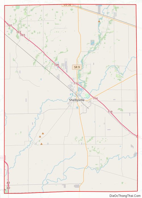
Shelby County Road Map
Geography
The low, rolling hills of Shelby County are lightly carved by drainages, but are otherwise completely devoted to agriculture or urban development. The western edge of the county is drained by Sugar Creek, flowing south-southwestward into Johnson County. The central and SW parts of the county are drained by Big Blue River, flowing south-southwestward into Johnson County. The lower part of the county is drained by Flatrock River, flowing southwestward into Bartholomew County. The terrain slopes to the southwest, with its highest elevations (930 feet/280 meters ASL) along the eastern part of its northern border with Hancock County. According to the 2010 census, the county has a total area of 412.76 square miles (1,069.0 km), of which 411.15 square miles (1,064.9 km) (or 99.61%) is land and 1.61 square miles (4.2 km) (or 0.39%) is water.
City and towns
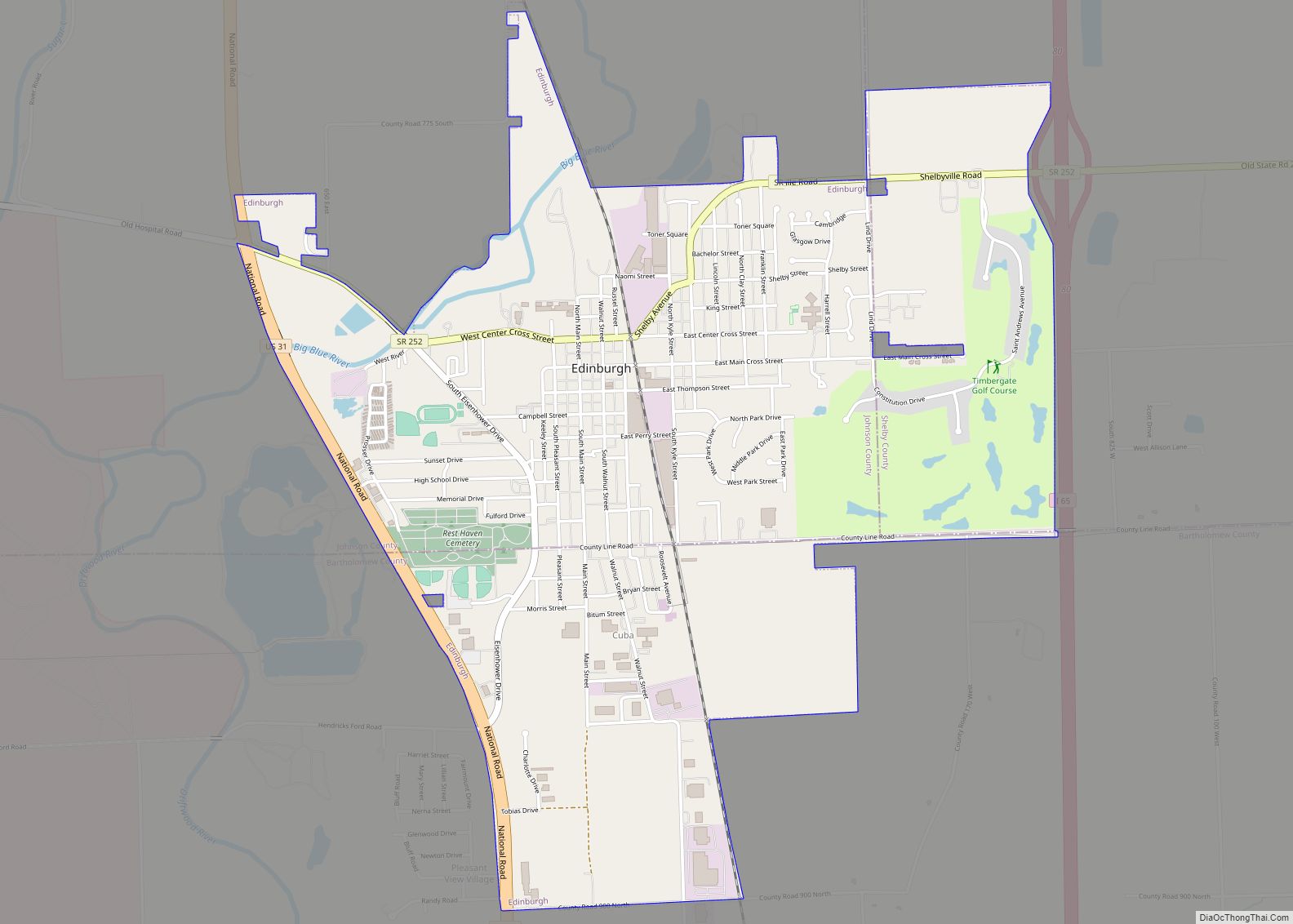
- Edinburgh (part)
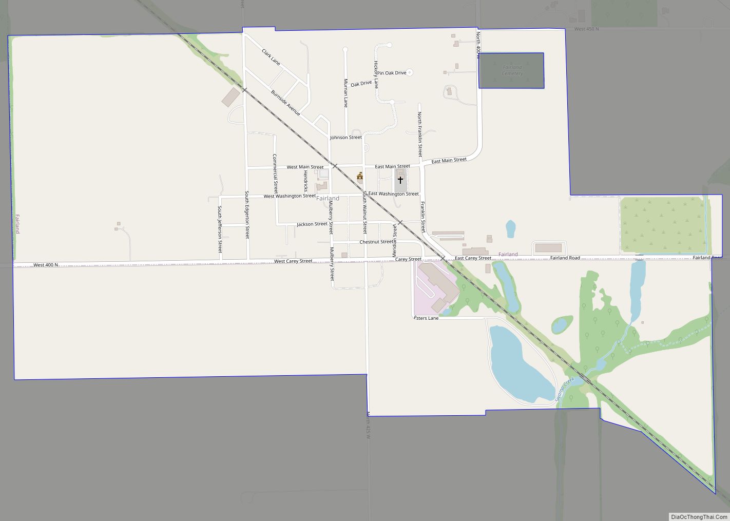
- Fairland
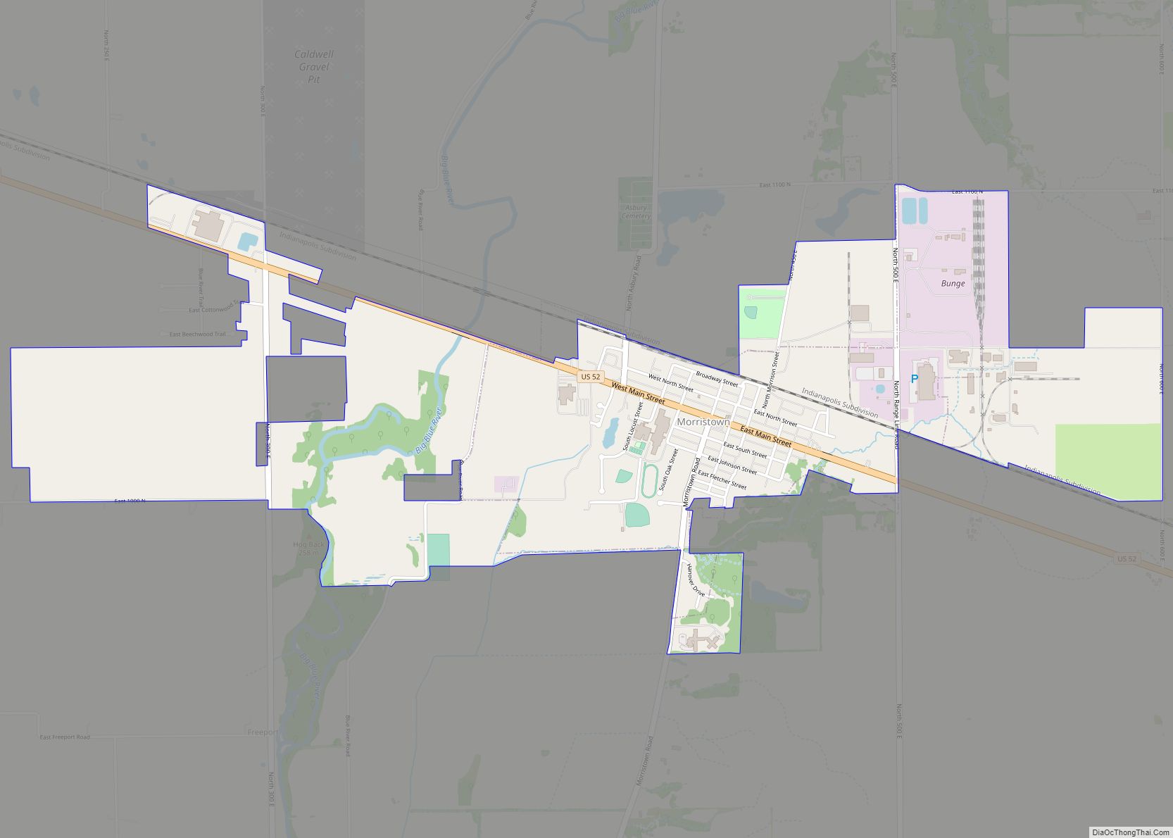
- Morristown
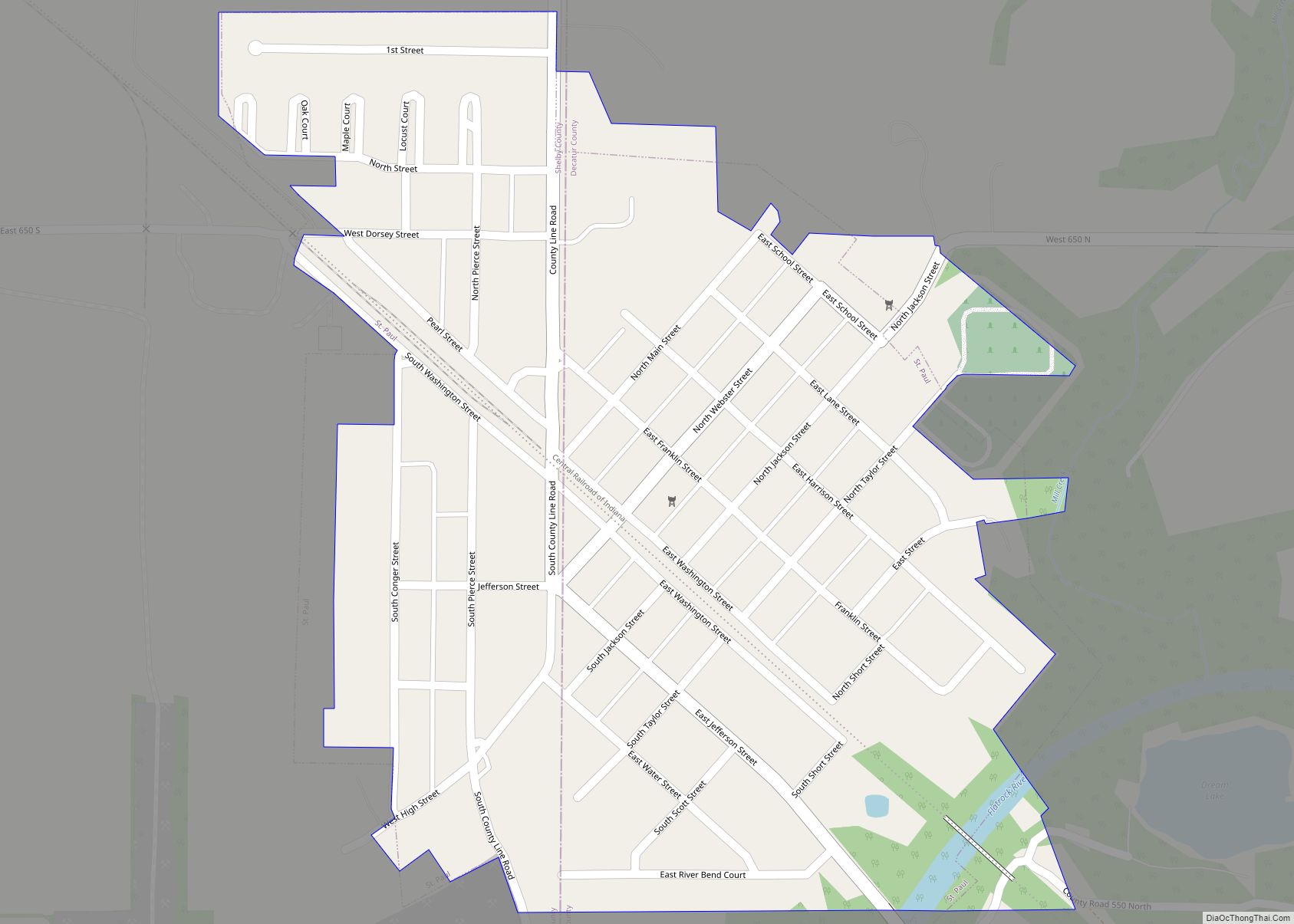
- St. Paul (part)
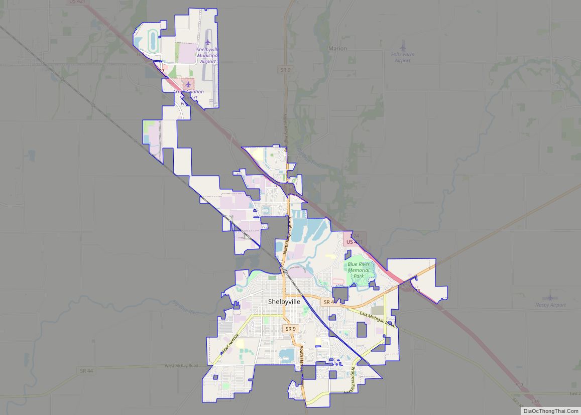
- Shelbyville (city/county seat)
Unincorporated communities
- Beech Brook
- Bengal
- Blue Ridge
- Boggstown
- Brookfield
- Candleglo Village
- Clover Village
- Fenns
- Flat Rock
- Fountaintown
- Freeport
- Geneva
- Green Meadows
- Gwynneville
- Knighthood Grove
- Knighthood Village
- Lewis Creek
- London
- London Heights
- Marietta
- Marion
- Meiks
- Meltzer
- Middletown
- Morven
- Mount Auburn
- Norristown
- Pleasant View
- Pleasure Valley
- Prescott
- Rays Crossing
- Rolling Ridge
- Sleepy Hollow
- Smithland
- Sugar Creek
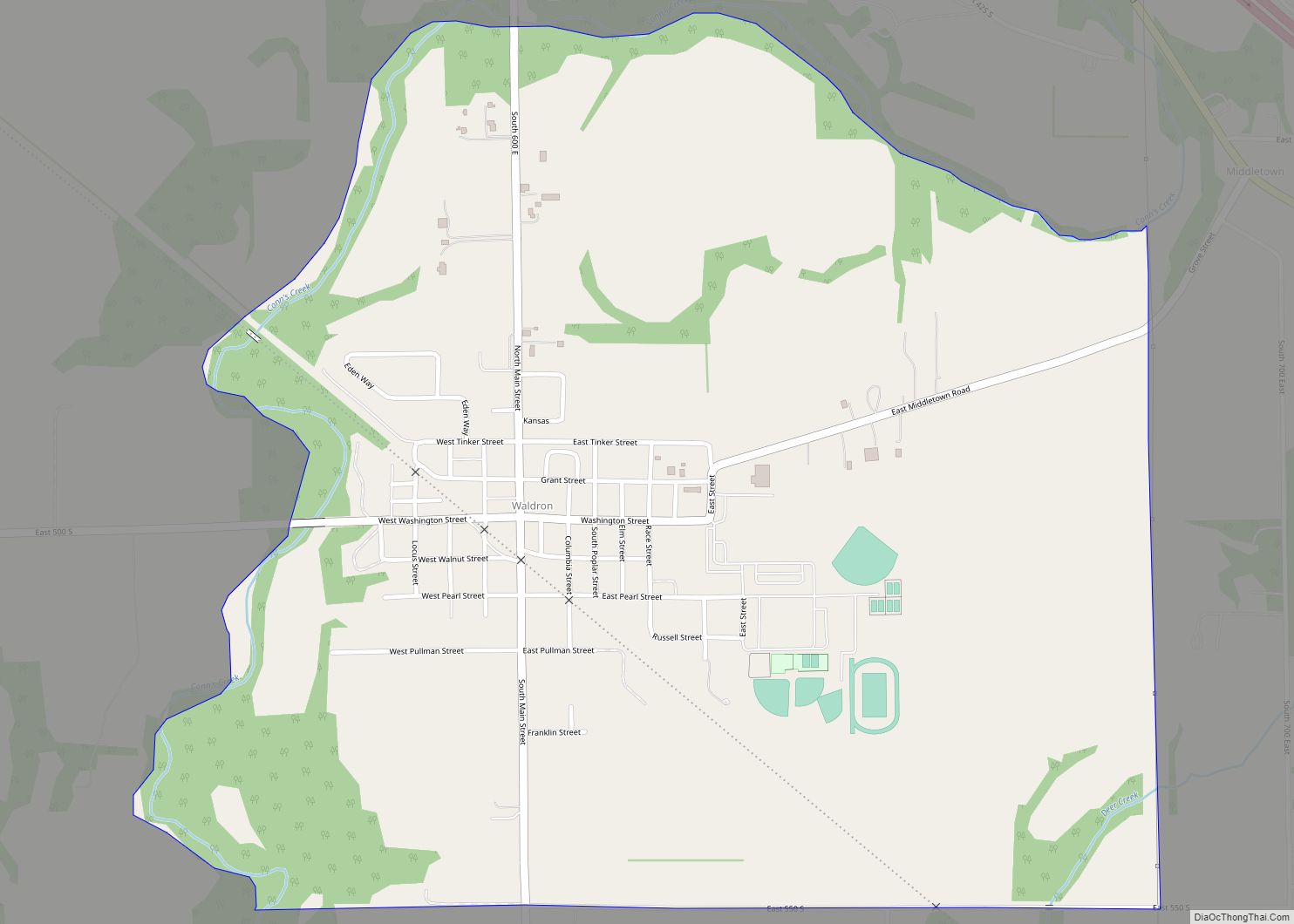
- Waldron (census-designated place)
- Walkerville
- Wilson Corner
Townships
- Addison
- Brandywine
- Hanover
- Hendricks
- Jackson
- Liberty
- Marion
- Moral
- Noble
- Shelby
- Sugar Creek
- Union
- Van Buren
- Washington
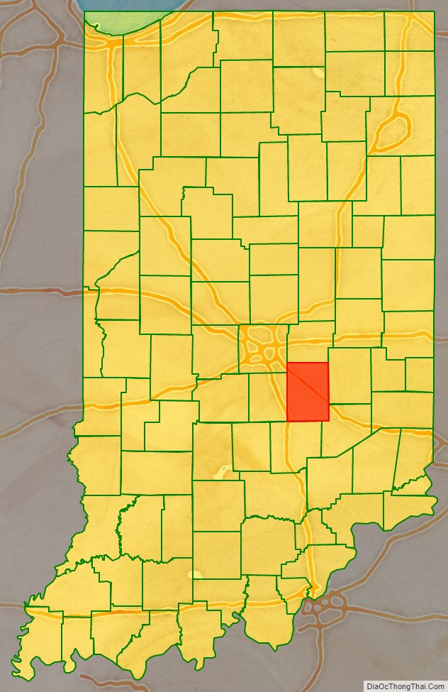
Adjacent counties
- Hancock County – north
- Rush County – east
- Decatur County – southeast
- Bartholomew County – south
- Johnson County – west
- Marion County – northwest
Major highways
- Interstate 65
- Interstate 74
- U.S. Route 52
- U.S. Route 421
- Indiana State Road 9
- Indiana State Road 44
- Indiana State Road 244
- Indiana State Road 252
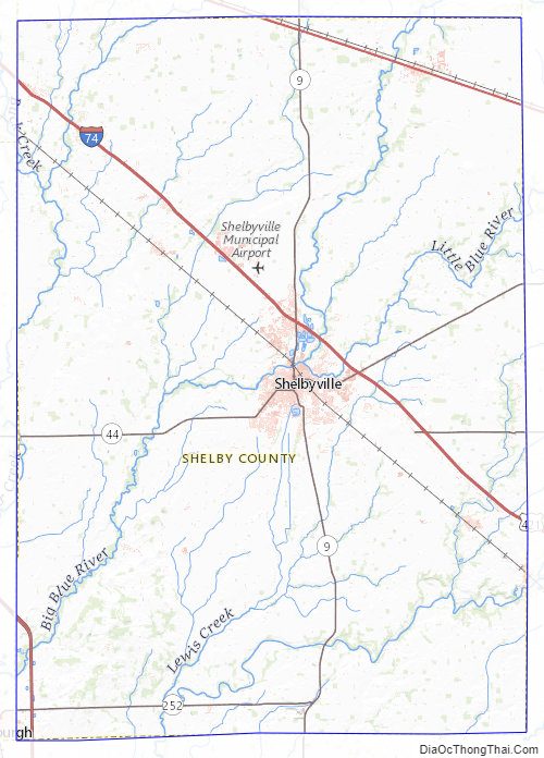
Shelby County Topographic Map
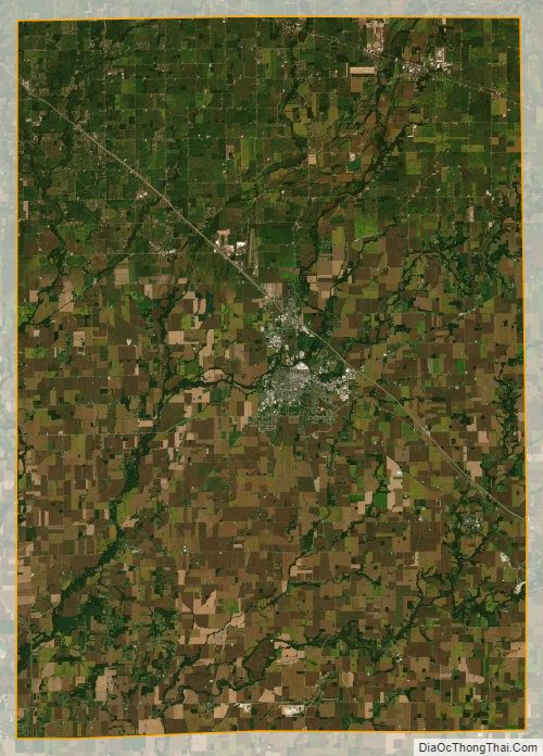
Shelby County Satellite Map
Shelby County Outline Map