Richland County is a county located in the U.S. state of Illinois. According to the 2020 United States census, it had a population of 15,813. Its county seat is Olney.
| Name: | Richland County |
|---|---|
| FIPS code: | 17-159 |
| State: | Illinois |
| Founded: | February 24, 1841 |
| Named for: | Richland County, Ohio |
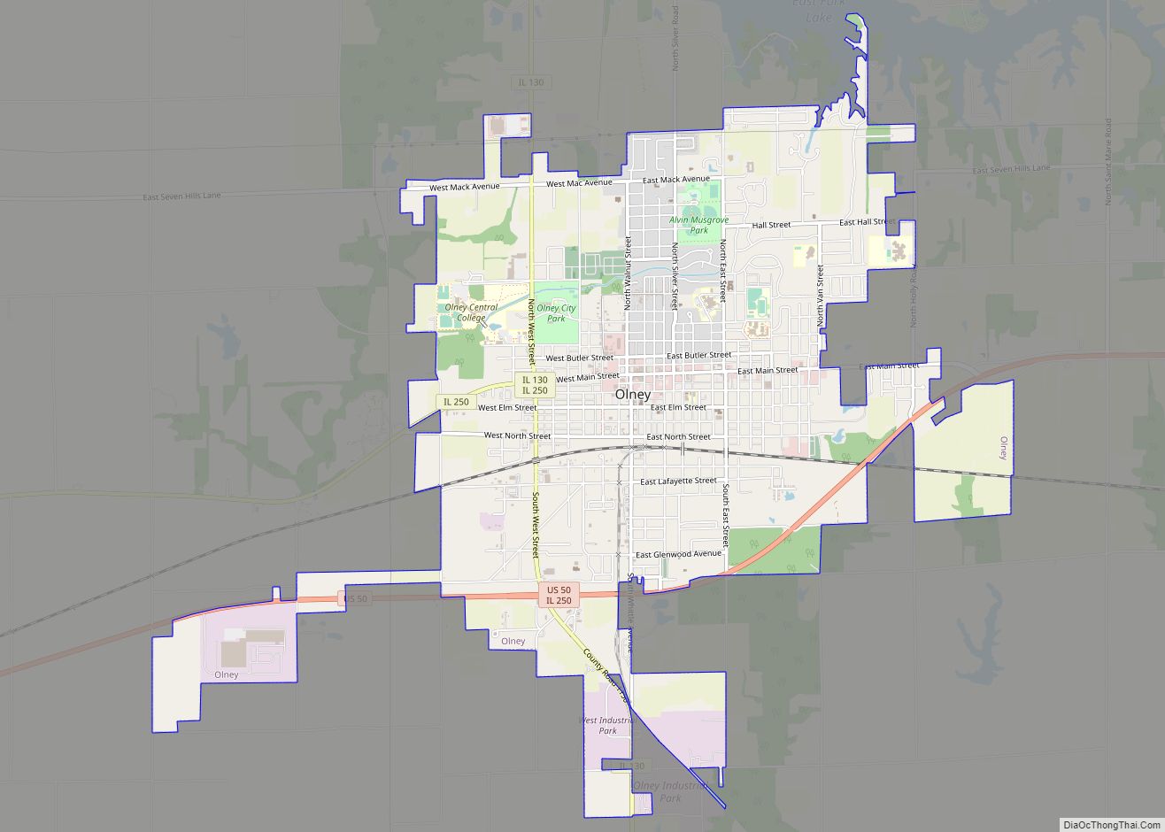
| Seat: | Olney |
| Largest city: | Olney |
| Total Area: | 362 sq mi (940 km²) |
| Land Area: | 356 sq mi (920 km²) |
| Total Population: | 15,813 |
| Population Density: | 44/sq mi (17/km²) |
| Time zone: | UTC−6 (Central) |
| Summer Time Zone (DST): | UTC−5 (CDT) |
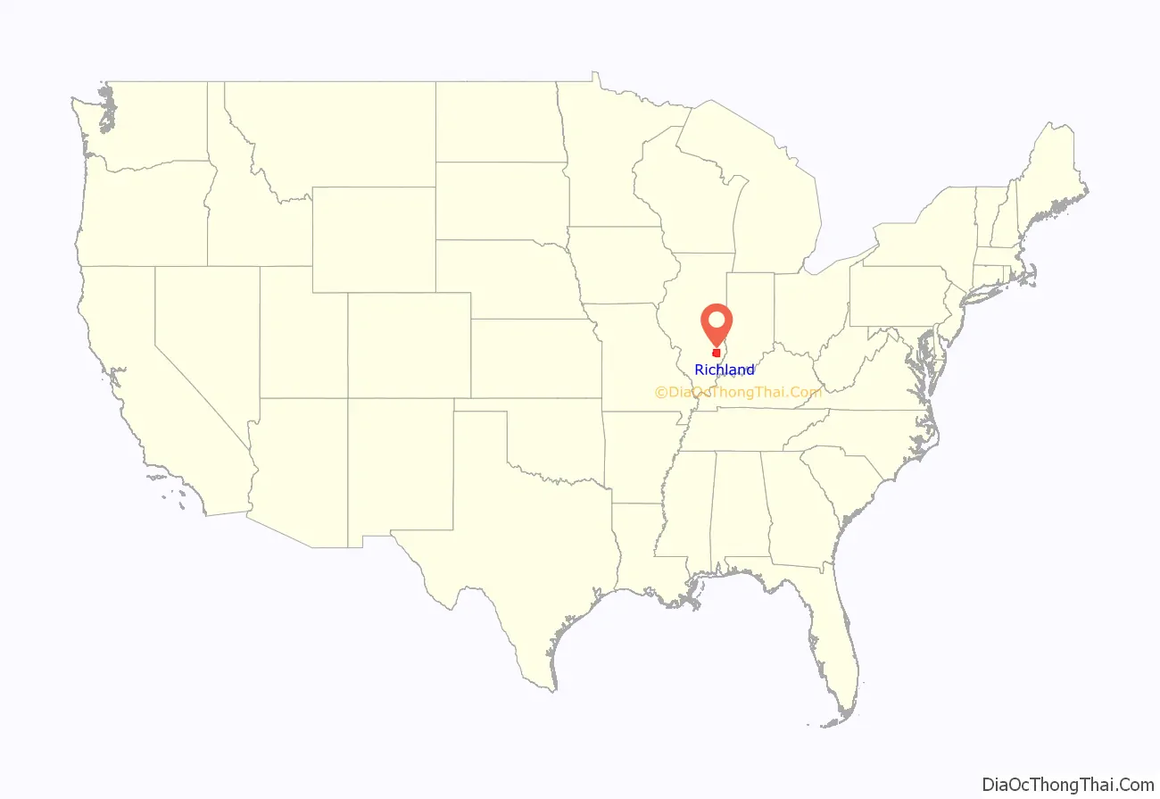
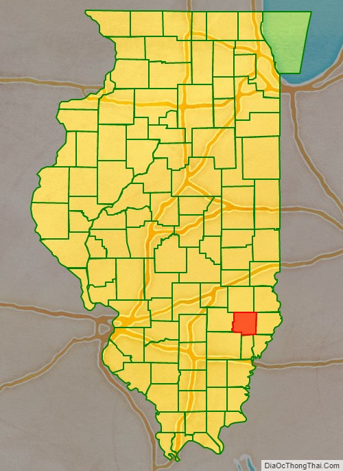
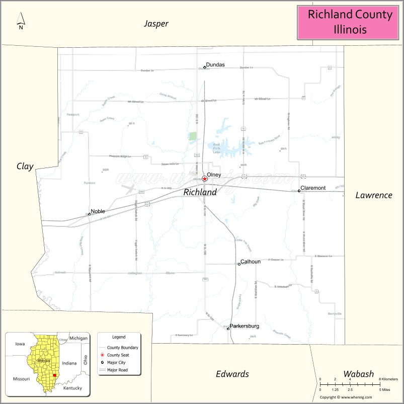
Richland County location map. Where is Richland County?
History
Richland County was established in 1841 out of portions of East part of Clay and West part of Lawrence counties. It was named for Richland County, Ohio, where many of the early settlers migrated from.
Richland County at the time of its creation in 1841
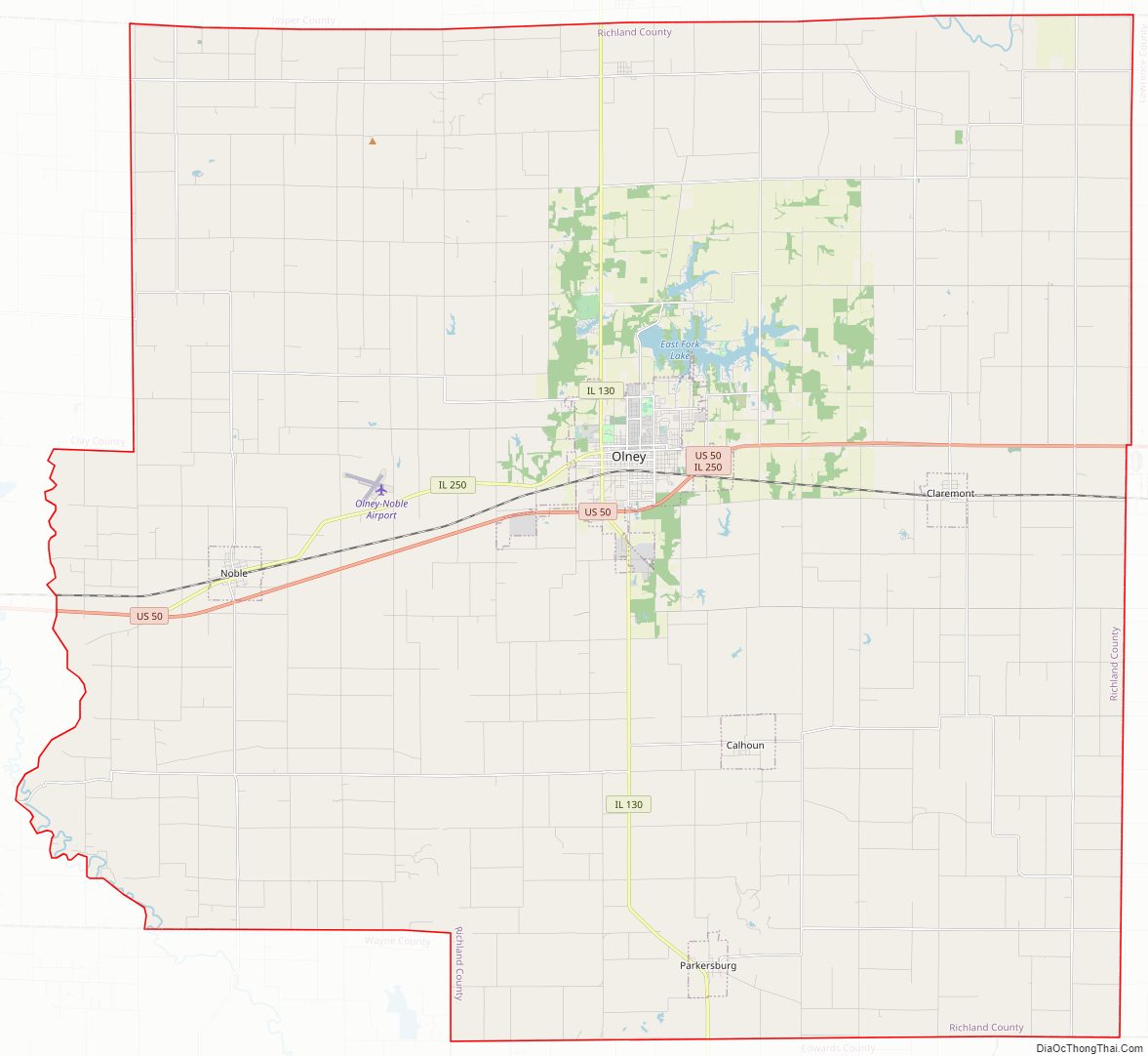
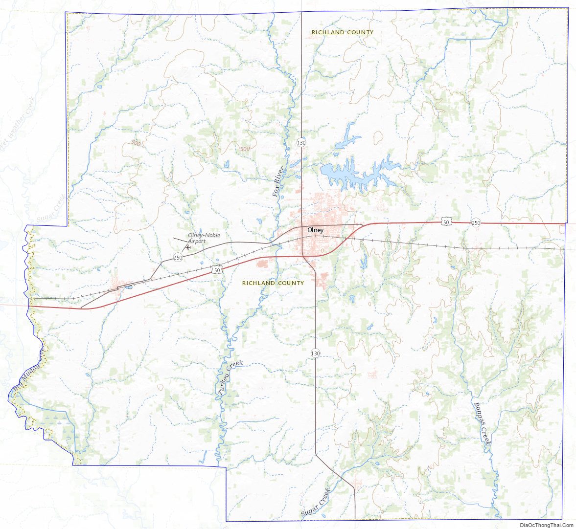
Richland County Road Map
Geography
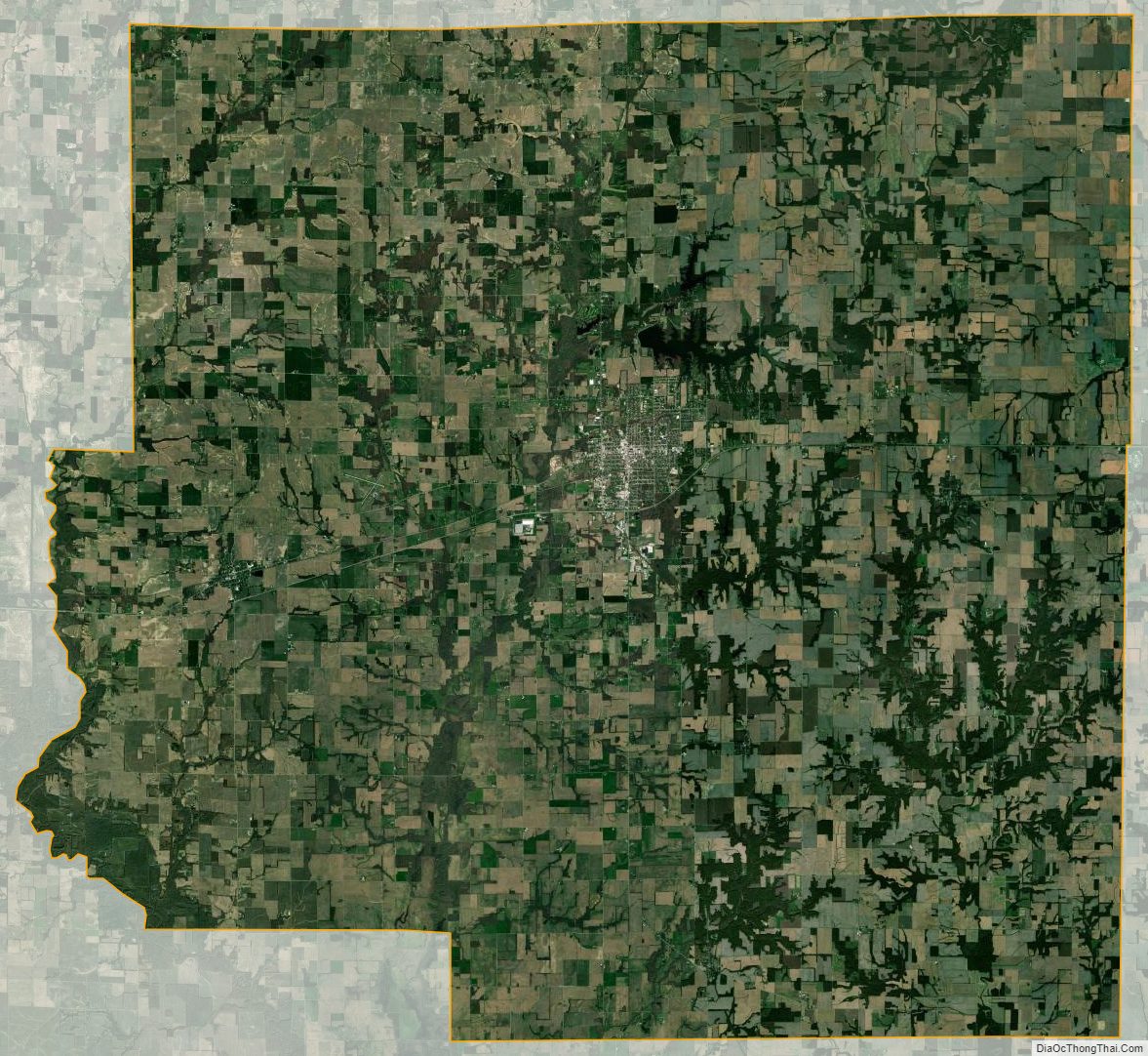
According to the U.S. Census Bureau, the county has a total area of 362 square miles (940 km), of which 360 square miles (930 km) is land and 1.9 square miles (4.9 km) (0.5%) is water.
Climate and weather
In recent years, average temperatures in the county seat of Olney have ranged from a low of 19 °F (−7 °C) in January to a high of 88 °F (31 °C) in July, although a record low of −25 °F (−32 °C) was recorded in February 1951 and a record high of 112 °F (44 °C) was recorded in July 1936. Average monthly precipitation ranged from 2.73 inches (69 mm) in February to 4.76 inches (121 mm) in May.
Major highways
- U.S. Route 50
- Illinois Route 130
- Illinois Route 250
Adjacent counties
- Jasper County (north)
- Crawford County (northeast)
- Lawrence County (east)
- Wabash County (southeast)
- Edwards County (south)
- Wayne County (southwest)
- Clay County (west)
Richland County Topographic Map
Richland County Satellite Map
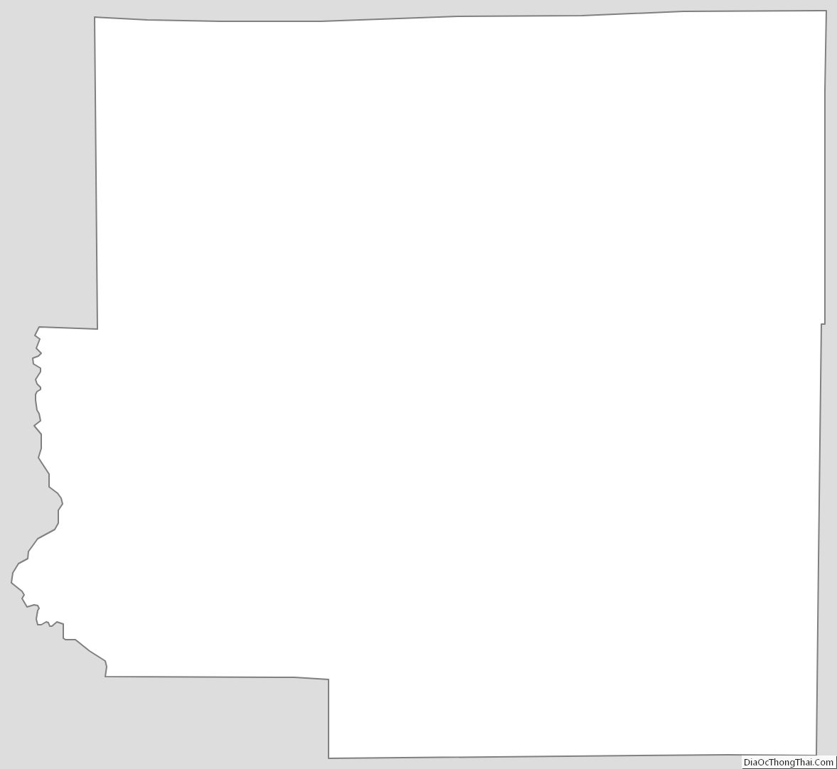
Richland County Outline Map