Gibson County is a county in the southwestern part of the U.S. state of Indiana. As of the 2010 United States Census, the population was 33,503. The county seat is Princeton.
| Name: | Gibson County |
|---|---|
| FIPS code: | 18-051 |
| State: | Indiana |
| Founded: | 1 April 1813 |
| Named for: | John Gibson |
| Seat: | Princeton |
| Largest city: | Princeton |
| Total Area: | 499.16 sq mi (1,292.8 km²) |
| Land Area: | 487.49 sq mi (1,262.6 km²) |
| Population Density: | 68.6/sq mi (26.5/km²) |
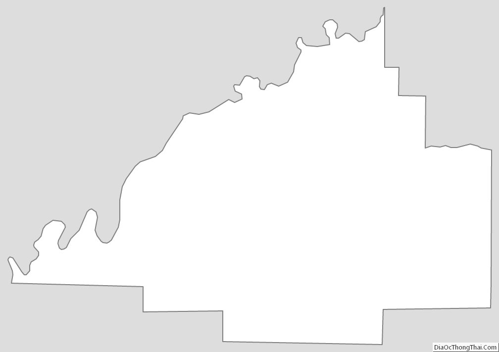
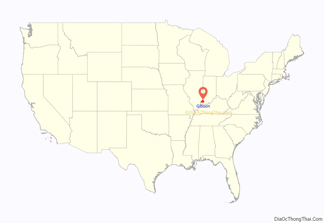
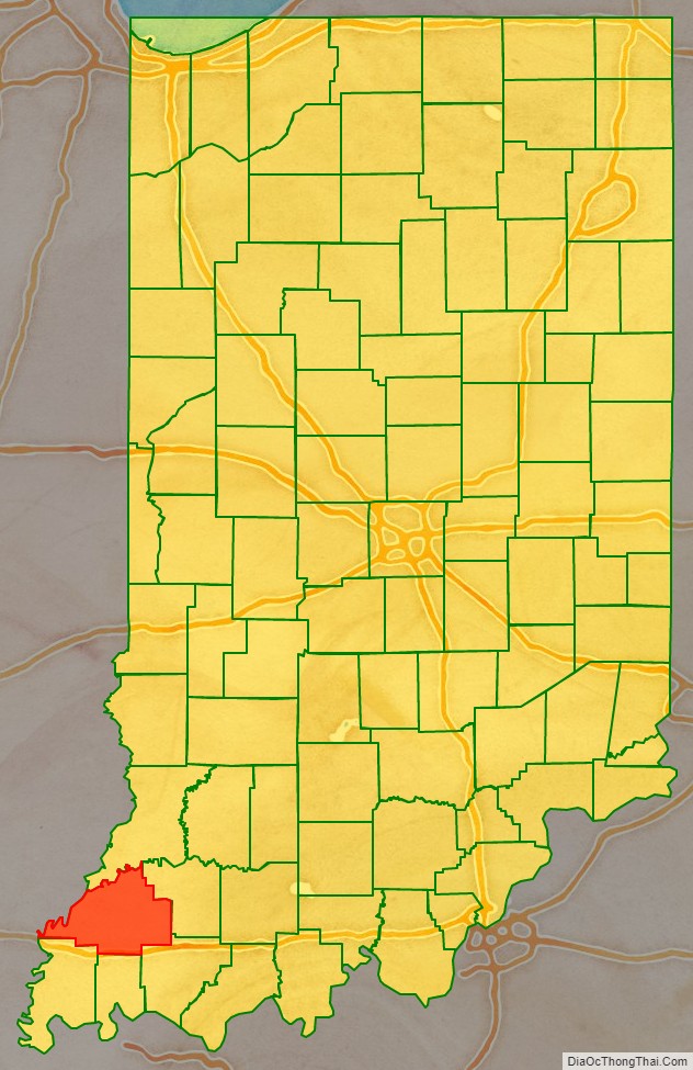
Gibson County location map. Where is Gibson County?
History
In 1787, the fledgling United States defined the Northwest Territory, which included the area of present-day Indiana. In 1800, Congress separated Ohio from the Northwest Territory, designating the rest of the land as the Indiana Territory. President Thomas Jefferson chose William Henry Harrison as the territory’s first governor, and Vincennes was established as the territorial capital. After the Michigan Territory was separated and the Illinois Territory was formed, Indiana was reduced to its current size and geography. By December 1816 the Indiana Territory was admitted to the Union as a state.
Starting in 1794, Native American titles to Indiana lands were extinguished by usurpation, purchase, or war and treaty. The United States acquired land from the Native Americans in the 1804 Treaty of Vincennes, which included the future Gibson County. Settlers had been pouring into the extreme southwest part of the Indiana Territory starting in 1789, and by 1813 there was sufficient to form a local governing body. The area included in present-day Gibson County had been first placed under the jurisdiction of Knox County, formed in 1790. Parts of that extremely large county were partitioned off in 1801 to create Clark, in 1808 to create Harrison, in 1810 to create Jefferson and Wayne, and in 1811 to create Franklin counties. On 1 April 1813 the Territorial legislature authorized partitioning a further large section of Knox to create Gibson County. The boundaries of this new county were reduced that same month (30 April 1813) to create Warrick; in 1814 to create Perry and Posey; in 1816 to create Pike; and finally in 1818 to create Vanderburgh counties.
The first white settler of the future Gibson County was John Severns, a native of Wales who had come with his parents to North America several years before the Revolutionary War. He settled in Gibson County in 1789–90 on the south bank of the Patoka River at a place now known as Severns Bridge. Another early Gibson County settler was William Hargrove, who came from Kentucky by pack mule in 1803; Captain Hargrove commanded a company of militia from Gibson County at the Battle of Tippecanoe in 1811.
The Rev. Joseph Milburn and his son Robert also arrived in 1803. They settled near Princeton, between the Patoka and White Rivers. The Milburns were from the area of Washington County, Kentucky. Rev. Milburn, a Baptist, established the first church; Robert established the first distillery in Indiana.
In 1805, Jacob Warrick arrived, along with his father-in-law, Thomas Montgomery. They burned out the last Native American village in 1807, chasing the inhabitants into the Illinois Territory. Captain Warrick was killed at the Battle of Tippecanoe in 1811.
Gibson County was named for John Gibson, an officer in the French and Indian War and the Revolutionary War. Gibson was Secretary of the Indiana Territory, serving as acting Governor on two occasions. The two counties of Gibson County and Warrick County, separated by Rector’s Base Line, were formed March 9, 1813. Gibson County was organized on April 1, 1813, while Warrick County was organized on April 30, meaning that both territories fell under Gibson County for that nearly two-month period. Gibson County occupied everything from the Wabash River and from the White River’s extension to the Paoli Base Line down the 2d Principal Meridian to the Rector’s Base Line. The area south of this line became Warrick County, which covered the area from the 2d Principal Meridian west to the Wabash River and down the Wabash River and with meanders up the Ohio River back to the 2d Principal Meridian (which had separated Knox County from Harrison County, Indiana Territory). Orange County, Spencer County, Pike County, Dubois County, and Crawford County all came from the roughly 2,000-square-mile (5,200 km) area occupied by the original Gibson County, as well as small portions of Lawrence County, Perry County, Posey County, the current Warrick County, and Vanderburgh County.
When the county was organized, Patoka was intended to be the county seat. However, Patoka’s low-lying location along the Patoka River gave rise to a malaria epidemic; to avoid this, the commissioners chose to establish a new town, eventually known as Princeton, on higher ground approximately 4 miles (6 km) south. However, although Princeton contends it was the only county seat, some contend county records indicate Owensville was a temporary county seat since Princeton was not laid out until late 1814, at least a year after Gibson County’s organization.
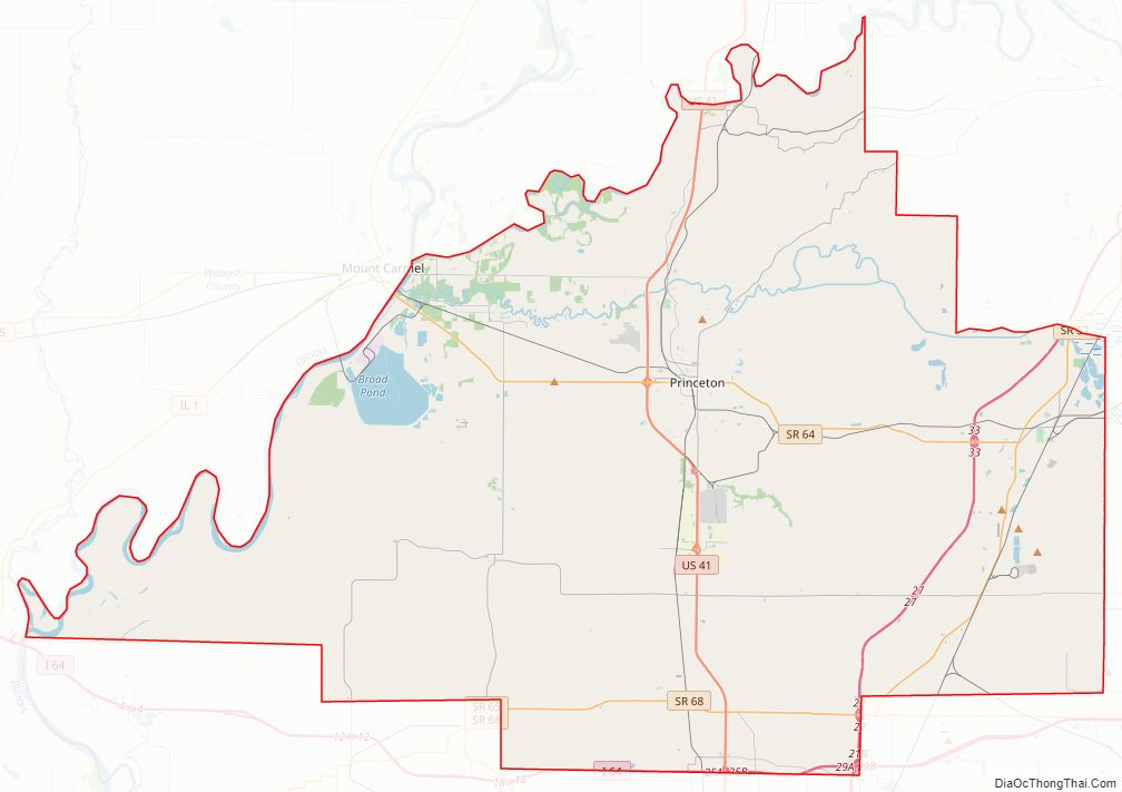
Gibson County Road Map
Geography
Nearly 90% of the county exists within the Ohio River Valley American Viticultural Area along with all of neighboring Posey, Vanderburgh and Warrick counties and a portion of Pike County. Despite being close to Evansville and experiencing a large growth of population in the central areas, Gibson County still remains a largely rural county with half of its townships having populations less than 2,000. Less than 7 percent of the county’s 500 square miles (1,300 km) lies within incorporated settlements, or 10 percent if subdivisions are included.
The western part of the county consists largely of spread-out flood-prone farms with spotty marshes along the Wabash and White Rivers. There are rolling hills around Owensville, and large forest and marshland tracts lie near the Gibson Generating Station and the three river settlements of Crawleyville, East Mount Carmel, and Skelton. The northern part is near the White River and is more given to hills and forest. The eastern part contains many hills and is also dotted with strip pits and active coal mines. The southern part is more given to valley and marshland, drained by the Pigeon Creek which flows south through Evansville. The highest point on the terrain (640 feet/200 meters ASL) is a hill two miles (3.2 km) north of Princeton.
Even without Interstate 69, the county is within a day’s drive of Chicago, Cincinnati, Chattanooga, Columbus, Indianapolis, Louisville, Memphis, Nashville, Springfield, St. Louis, even South Bend, and Fort Wayne despite the lack of freeway connection. There are two major intersections in the southern extremes of the county: the intersection of Interstate 64 and US 41; and the intersection of Interstates 64 and 69, which will eventually link the county and Evansville to Indianapolis and Memphis and make a day trip to even Detroit possible.
The western half of the Patoka River National Wildlife Refuge and Management Area lies within Gibson County.
According to the 2010 census, the county has a total area of 499.16 square miles (1,292.8 km), of which 487.49 square miles (1,262.6 km) (or 97.66%) is land and 11.68 square miles (30.3 km) (or 2.34%) is water.
Adjacent counties
- White County, Illinois − west
- Wabash County, Illinois − northwest
- Knox County − north
- Pike County − east
- Warrick County − southeast
- Vanderburgh County – south
- Posey County – southwest
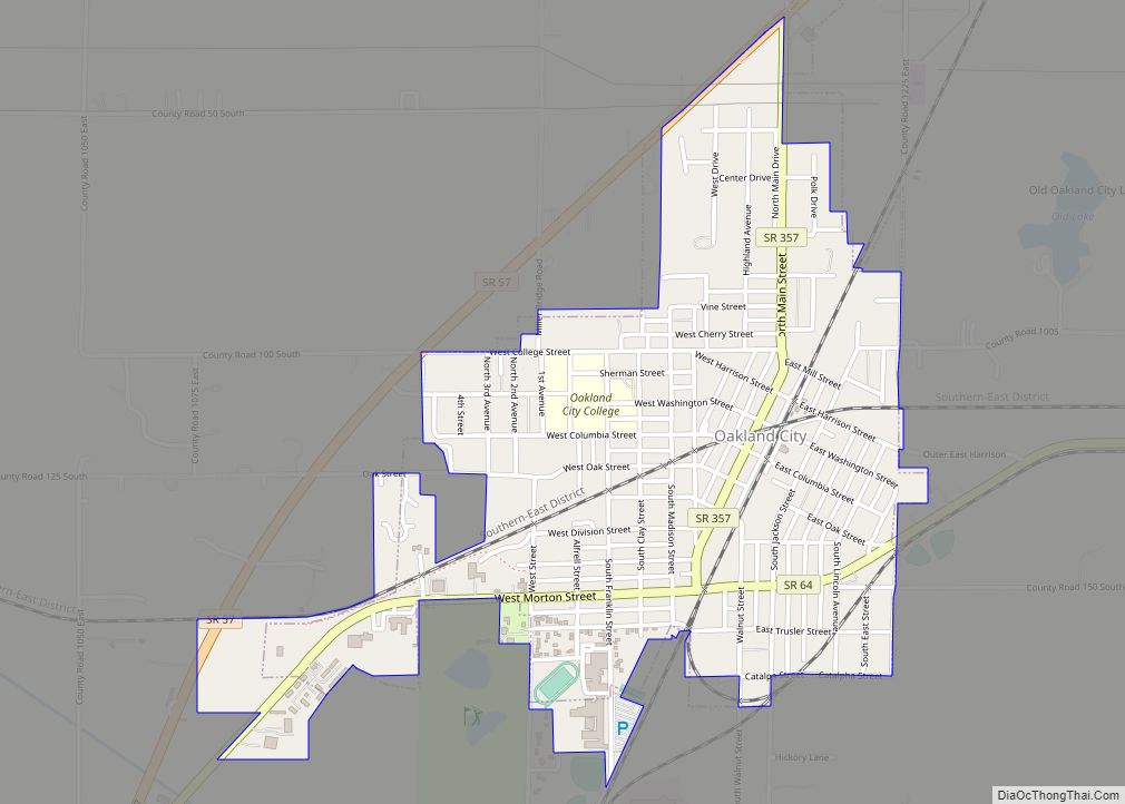
Cities (with ZIP codes)
Towns (with ZIP codes)
- Buckskin (47647)
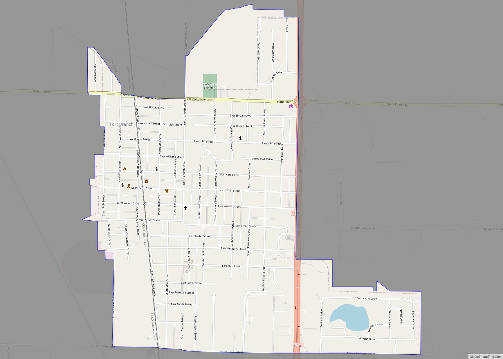
- Fort Branch (47648)
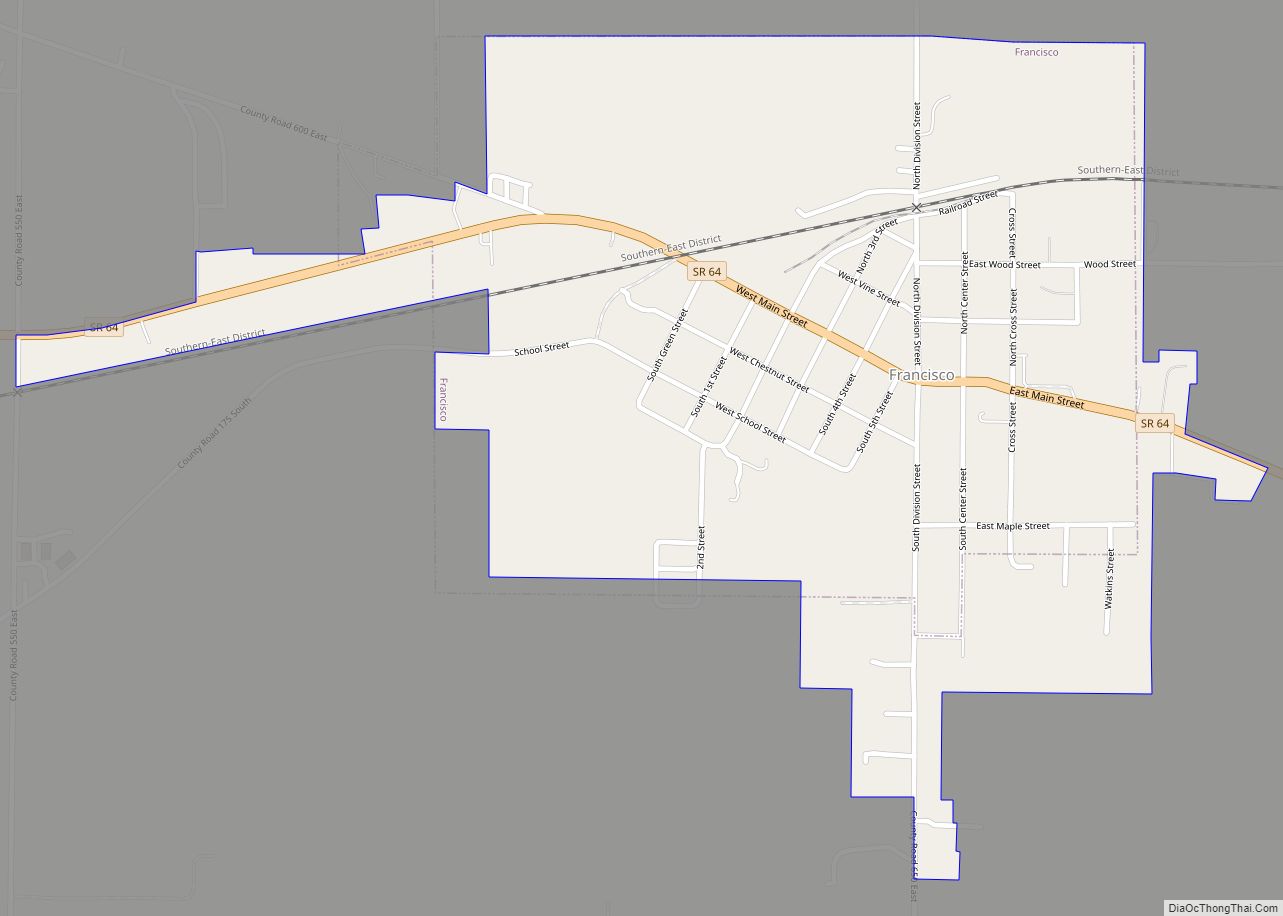
- Francisco (47649)
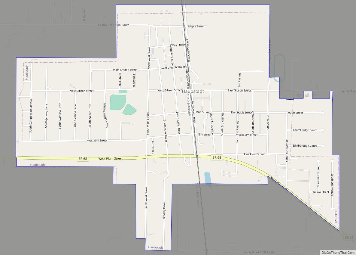
- Haubstadt (47639)
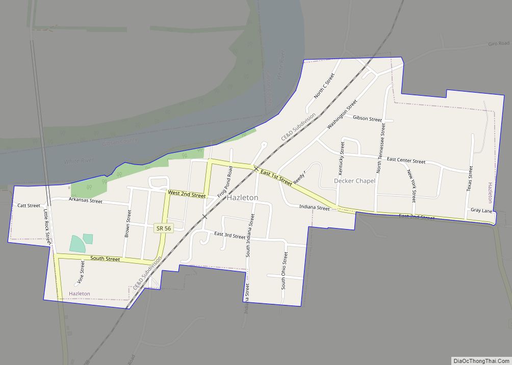
- Hazleton (47640)
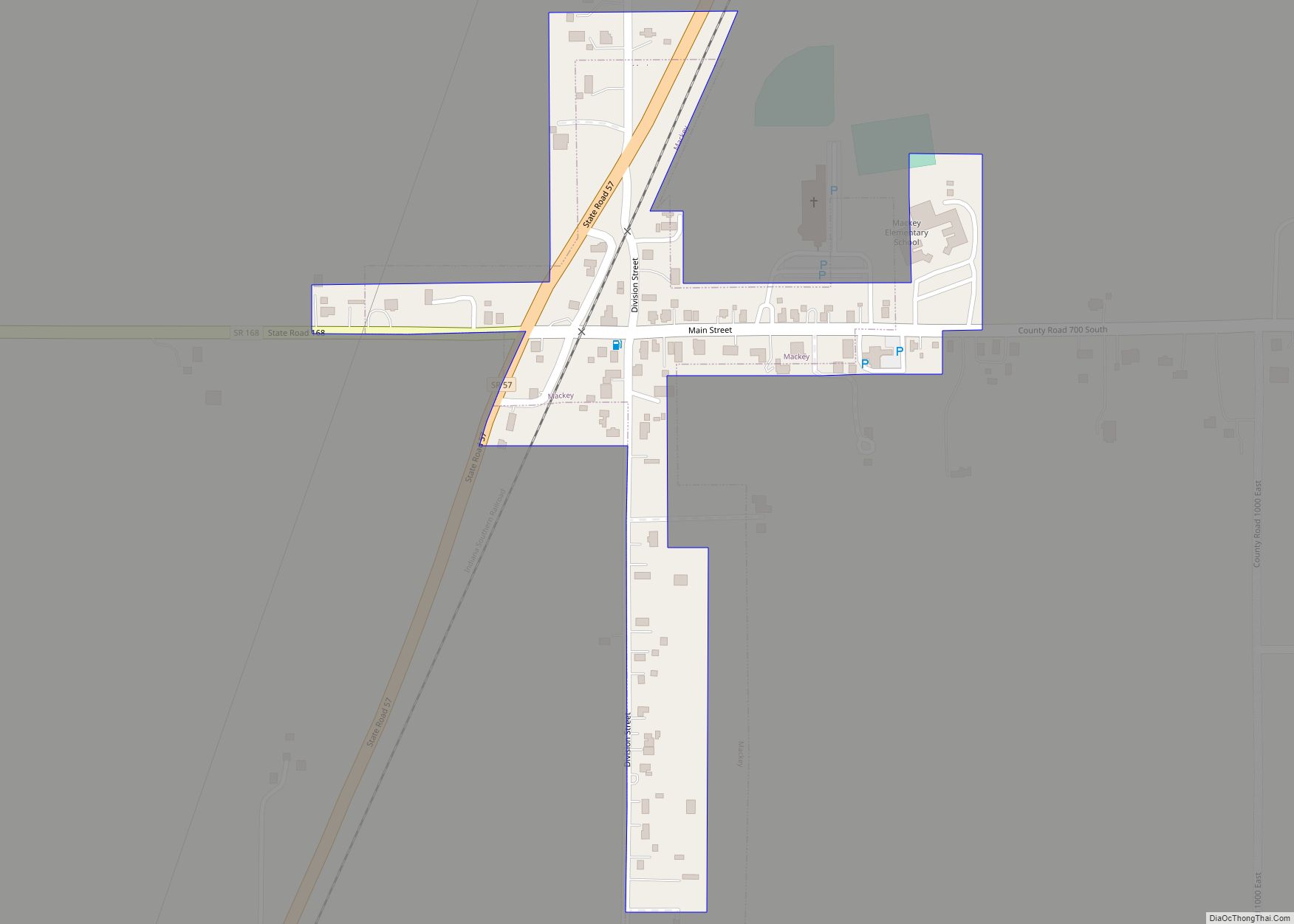
- Mackey (47654)
- Owensville (47665)
- Patoka (47666)
- Somerville (47683)
Unincorporated communities
- Baldwin Heights *
- Buena Vista (Giro)
- Crawleyville
- Calamity
- Dongola
- Douglas
- Durham
- East Mount Carmel
- Gray Junction
- Gudgel
- Hickory Ridge (Hickory)
- Johnson
- Kings Station (Kings)
- Lyles Station
- McGary
- Mount Olympus
- Mounts
- Northbrook Hills *
- Oak Hill
- Oatsville
- Port Gibson
- Saint James
- Skelton (now under Gibson Lake)
- Snake Run
- Warrenton
- Wheeling (Kirkville)
- White River
* Baldwin Heights and Northbrook Hills are within the city limits of Princeton.
Townships
Gibson County consists of ten townships:
- Barton
- Center
- Columbia
- Johnson
- Montgomery
- Patoka
- Union
- Wabash
- Washington
- White River
Climate and weather
In recent years, average temperatures in Princeton have ranged from a low of 21 °F (−6 °C) in January to a high of 88 °F (31 °C) in July, although a record low of −19 °F (−28 °C) was recorded in January 1985 and a record high of 113 °F (45 °C) was recorded in July 1936. Average monthly precipitation ranged from 2.90 inches (74 mm) in January to 5.11 inches (130 mm) in May.
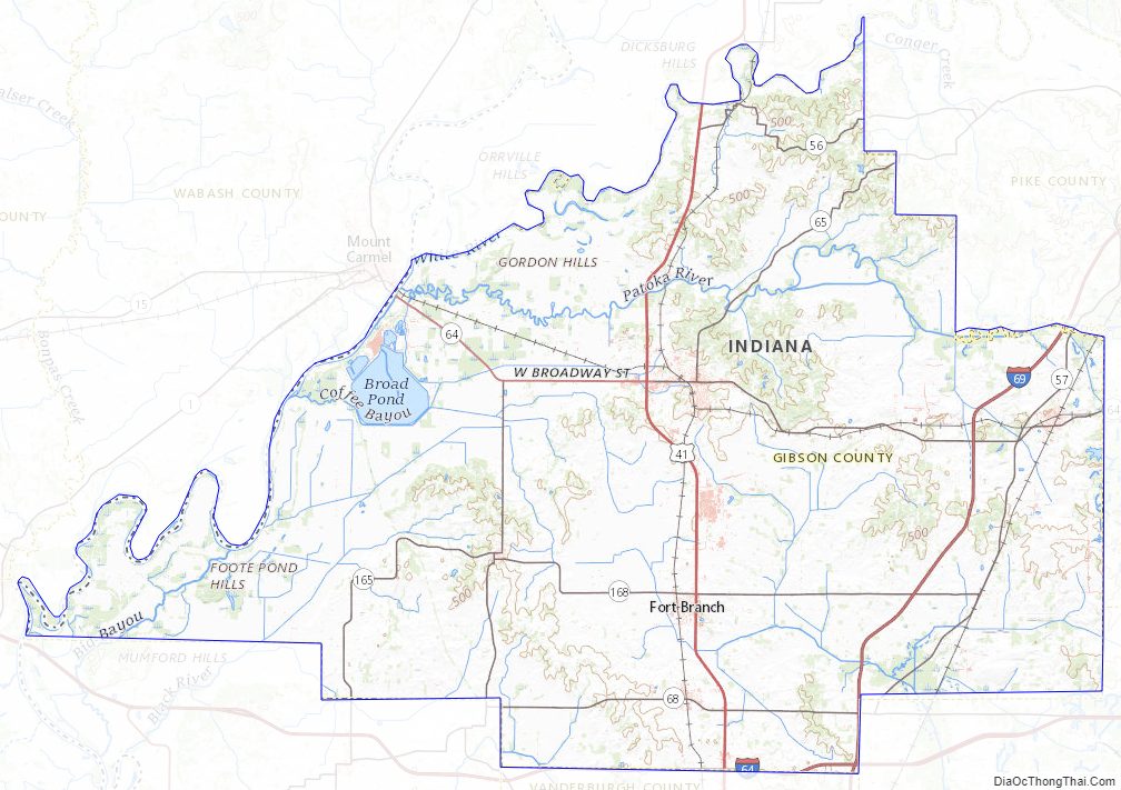
Gibson County Topographic Map
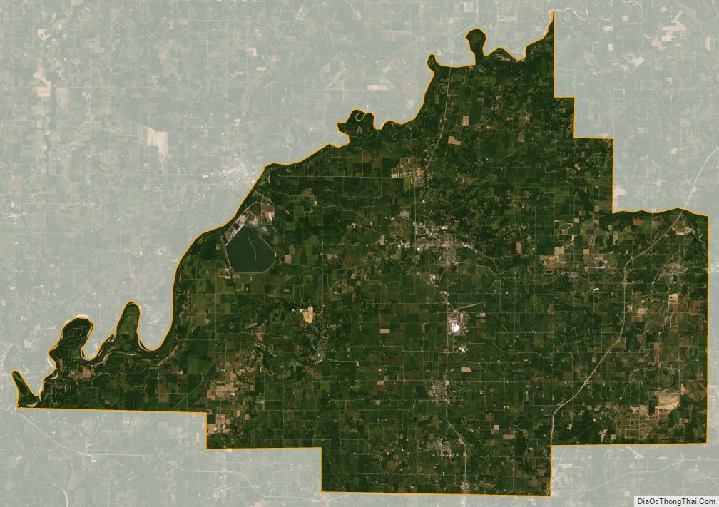
Gibson County Satellite Map
Gibson County Outline Map