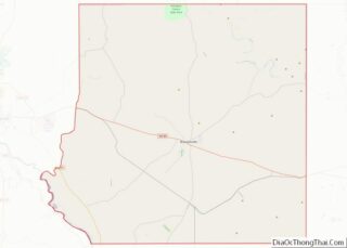
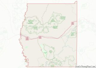
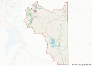
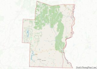
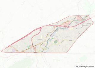
Map of Jefferson County, Florida
Jefferson County is a county located in the Big Bend region in the northern part of the U.S. state of Florida. As of the 2020 census, the population was 14,510. Its county seat is Monticello. Jefferson County is part of the Tallahassee, FL Metropolitan Statistical Area but is the 3rd most rural county in Florida. ... Read more
Map of Jefferson County, Florida
Map of Orange County, Florida
Orange County is located in the central portion of the U.S. state of Florida. As of the 2020 census, the population was 1,429,908, making it Florida’s fifth most populous county. The county seat is Orlando. Orange County is the central county of the Orlando-Kissimmee–Sanford, Florida Metropolitan Statistical Area. Orange County overview: Name: Orange County FIPS ... Read more
Map of Orange County, Florida
Map of Volusia County, Florida
Volusia County (/vəˈluːʃə/, və-LOO-shə) is located in the east-central part of the U.S. state of Florida between the St. Johns River and the Atlantic Ocean. As of the 2020 census, the county was home to 553,543 people, an increase of 11.9% from the 2010 census. It was founded on December 29, 1854, from part of ... Read more
Map of Volusia County, Florida
Map of Brantley County, Georgia
Brantley County is a county located in the southeastern part of the U.S. state of Georgia. As of the 2020 census, the population was 18,021. The county seat is Nahunta. Brantley County is part of the Brunswick, Georgia Metropolitan Statistical Area. Brantley County overview: Name: Brantley County FIPS code: 13-025 State: Georgia Founded: 1920 Named ... Read more
Map of Brantley County, Georgia
Map of Clarke County, Georgia
Clarke County is located in the northeastern part of the U.S. state of Georgia. As of the 2020 census, the population was 128,671. Its county seat is Athens, with which it is a consolidated city-county. Clarke County is included in the Athens-Clarke County, GA Metropolitan Statistical Area, which is also included in the Atlanta-Athens-Clarke County-Sandy ... Read more
Map of Clarke County, Georgia
Map of Dodge County, Georgia
Dodge County is a county located in the central portion of the U.S. state of Georgia. As of 2020, the population was 19,925. The county seat is Eastman. Dodge County lies in the Historic South and Black Belt region of Georgia, an area that was devoted to cotton production in the antebellum years. It has ... Read more
Map of Dodge County, Georgia
Map of Gilmer County, Georgia
Gilmer County is a county located in the north central portion of the U.S. state of Georgia. As of the 2020 census, the population was 31,353. The county seat is Ellijay. It was based on a historic Cherokee town also spelled as Elejoy in the eighteenth century. The county was created on December 3, 1832 ... Read more
Map of Gilmer County, Georgia
Map of Irwin County, Georgia
Irwin County is a county located in the U.S. state of Georgia. As of the 2020 census, the population was 9,666. The county seat is Ocilla. The county was created on December 15, 1818. It was named for Governor Jared Irwin. In the last years of the American Civil War, Irwin County gained the nickname ... Read more
Map of Irwin County, Georgia
Map of Lumpkin County, Georgia
Lumpkin County is a county located in the north central portion of the U.S. state of Georgia. As of the 2020 census, the population was 33,488. Its county seat is Dahlonega. Lumpkin County overview: Name: Lumpkin County FIPS code: 13-187 State: Georgia Founded: 1832 Named for: Wilson Lumpkin Seat: Dahlonega Largest city: Dahlonega Total Area: ... Read more
Map of Lumpkin County, Georgia
Map of Oglethorpe County, Georgia
Oglethorpe County is a county located in the northeastern part of the U.S. state of Georgia. As of the 2020 census, the population was 14,825. The county seat is Lexington. Oglethorpe County is included in the Athens-Clarke County, GA Metropolitan Statistical Area, which is also included in the Atlanta-Athens-Clarke County-Sandy Springs, GA Combined Statistical Area. ... Read more
Map of Oglethorpe County, Georgia
Map of Seminole County, Georgia
Seminole County is a county located in the southwestern corner of U.S. state of Georgia. As of the 2020 census, the population was 9,147. The county seat is Donalsonville. Seminole County overview: Name: Seminole County FIPS code: 13-253 State: Georgia Founded: 1920 Named for: Seminole tribe Seat: Donalsonville Largest city: Donalsonville Total Area: 257 sq mi (670 km²) ... Read more
Map of Seminole County, Georgia
Map of Troup County, Georgia
Troup County (pronounced /truːp/ TROOP) is a county located in the west central portion of the U.S. state of Georgia. As of the 2020 census, the population was 69,426. The county seat is LaGrange. Troup County comprises the LaGrange, GA Micropolitan Statistical Area along with Chambers County, AL. It is included in the Atlanta-Athens-Clarke County-Sandy ... Read more
Map of Troup County, Georgia