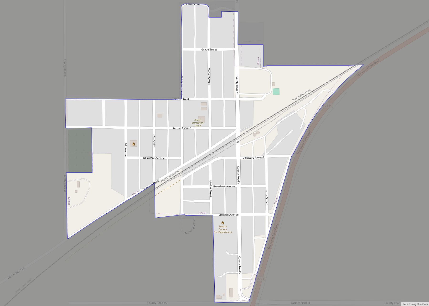
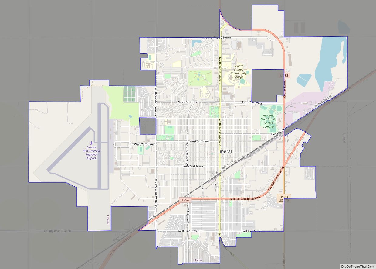
Seward County (standard abbreviation: SW) is a county of the U.S. state of Kansas. As of the 2020 census, the county population was 21,964. The largest city and county seat is Liberal. The county was formed on March 20, 1873 and named after William Henry Seward, an American politician and Secretary of State under Abraham Lincoln and Andrew Johnson.
| Name: | Seward County |
|---|---|
| FIPS code: | 20-175 |
| State: | Kansas |
| Founded: | March 20, 1873 |
| Named for: | William H. Seward |
| Seat: | Liberal |
| Largest city: | Liberal |
| Total Area: | 640 sq mi (1,700 km²) |
| Land Area: | 639 sq mi (1,660 km²) |
| Total Population: | 21,964 |
| Population Density: | 34.4/sq mi (13.3/km²) |
| Time zone: | UTC−6 (Central) |
| Summer Time Zone (DST): | UTC−5 (CDT) |
| Website: | SewardCountyKS.org |
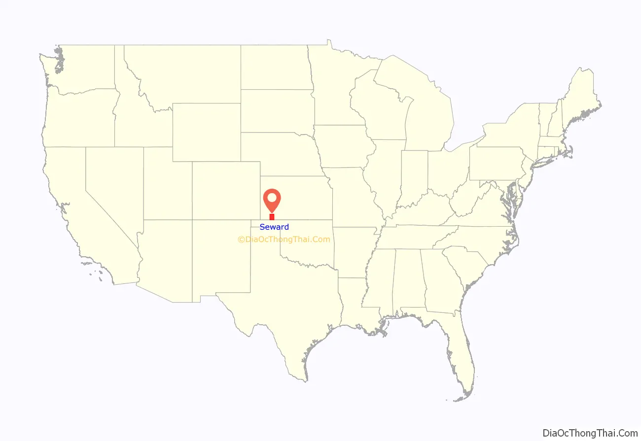
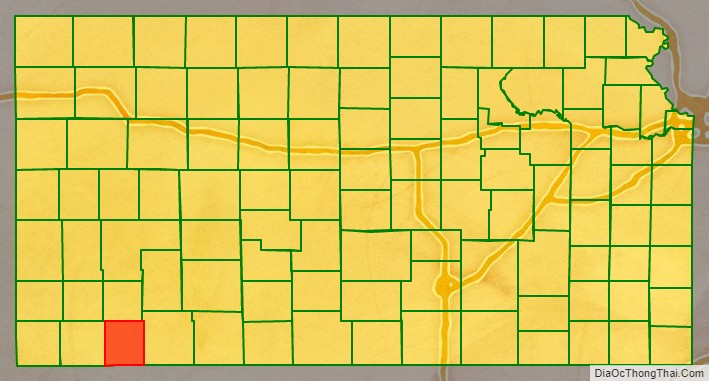
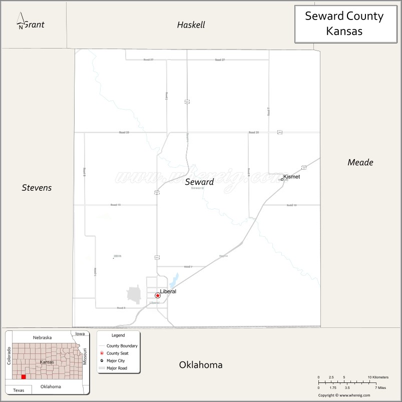
Seward County location map. Where is Seward County?
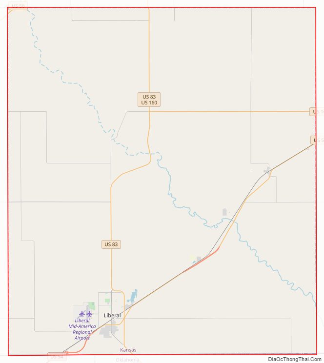
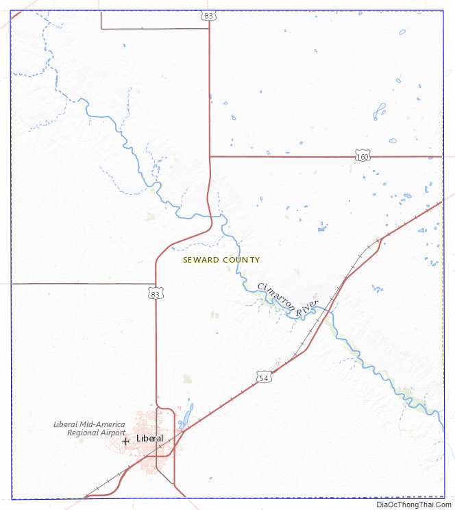
Seward County Road Map
Geography
According to the U.S. Census Bureau, the county has a total area of 640 square miles (1,700 km), of which 639 square miles (1,660 km) is land and 1.0 square mile (2.6 km) (0.2%) is water. It borders Oklahoma to the south.
Adjacent counties
- Haskell County (north)
- Meade County (east)
- Beaver County, Oklahoma (southeast)
- Texas County, Oklahoma (southwest)
- Stevens County (west)
Seward County Topographic Map
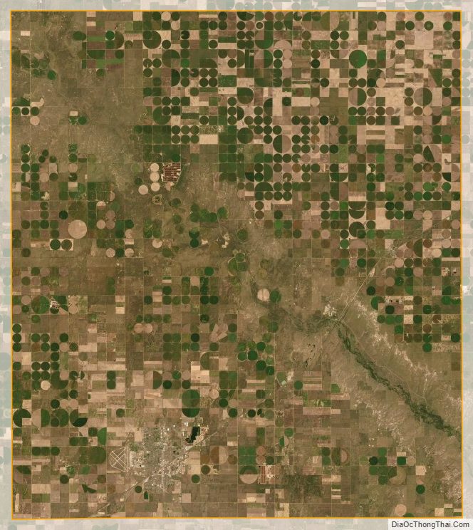
Seward County Satellite Map
Seward County Outline Map