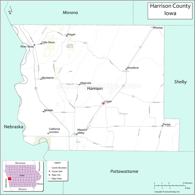
Harrison County is a county located in the U.S. state of Iowa. As of the 2020 census, the population was 14,582. The county seat is Logan. The county was formed in 1851. It was named for ninth US President William Henry Harrison.
Harrison County is included in the Omaha–Council Bluffs, NE-IA Metropolitan Statistical Area.
| Name: | Harrison County |
|---|---|
| FIPS code: | 19-085 |
| State: | Iowa |
| Founded: | 1851 |
| Named for: | William Henry Harrison |
| Seat: | Logan |
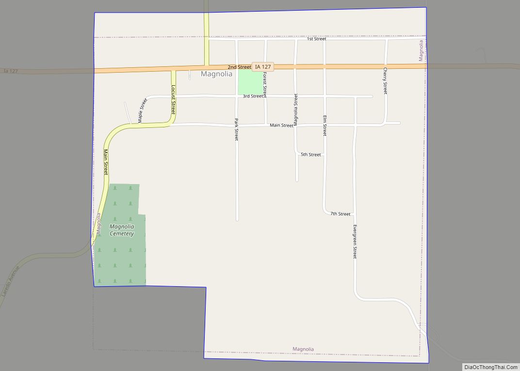
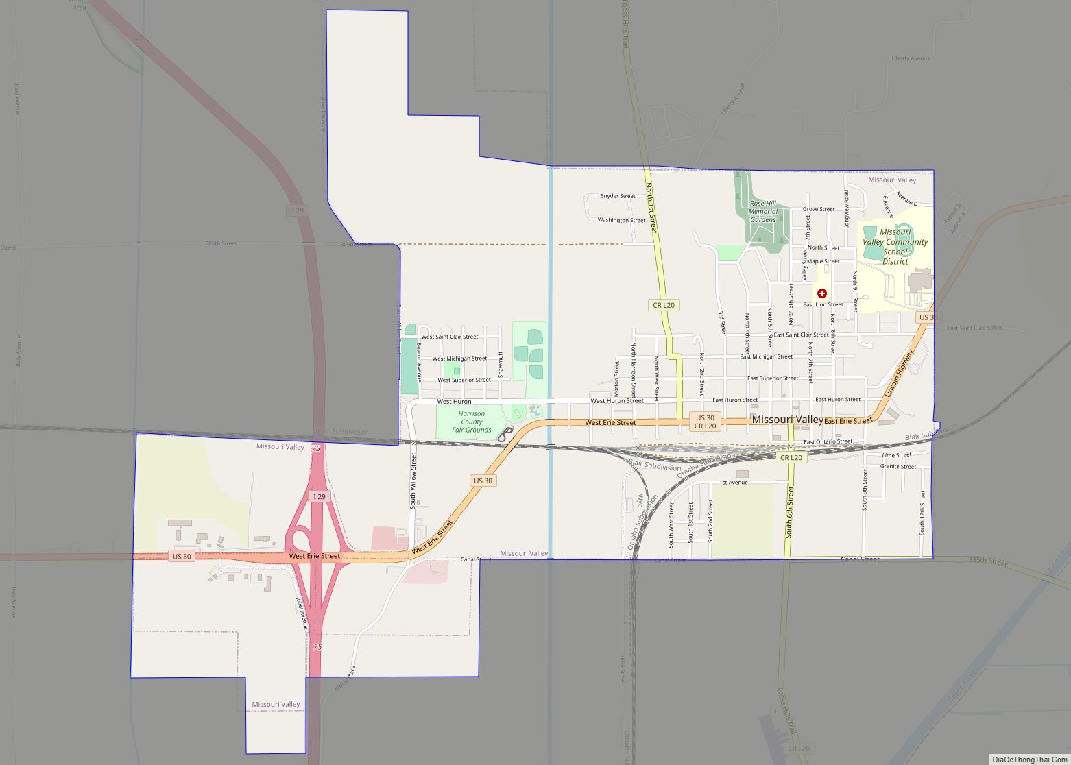
| Largest city: | Missouri Valley |
| Total Area: | 702 sq mi (1,820 km²) |
| Land Area: | 697 sq mi (1,810 km²) |
| Total Population: | 14,582 |
| Population Density: | 21/sq mi (8.0/km²) |
| Time zone: | UTC−6 (Central) |
| Summer Time Zone (DST): | UTC−5 (CDT) |
| Website: | www.harrisoncountyia.org |
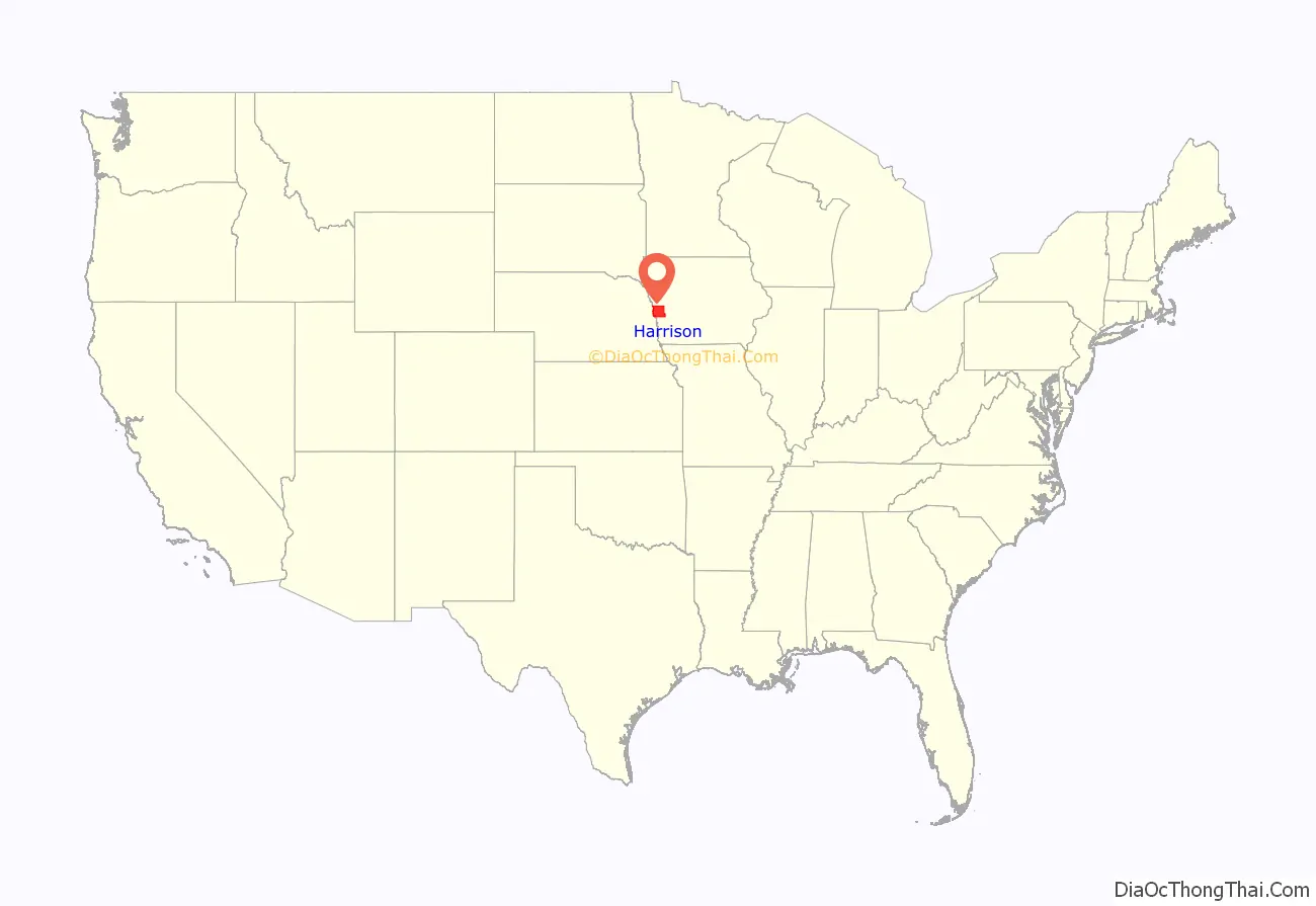
Harrison County location map. Where is Harrison County?
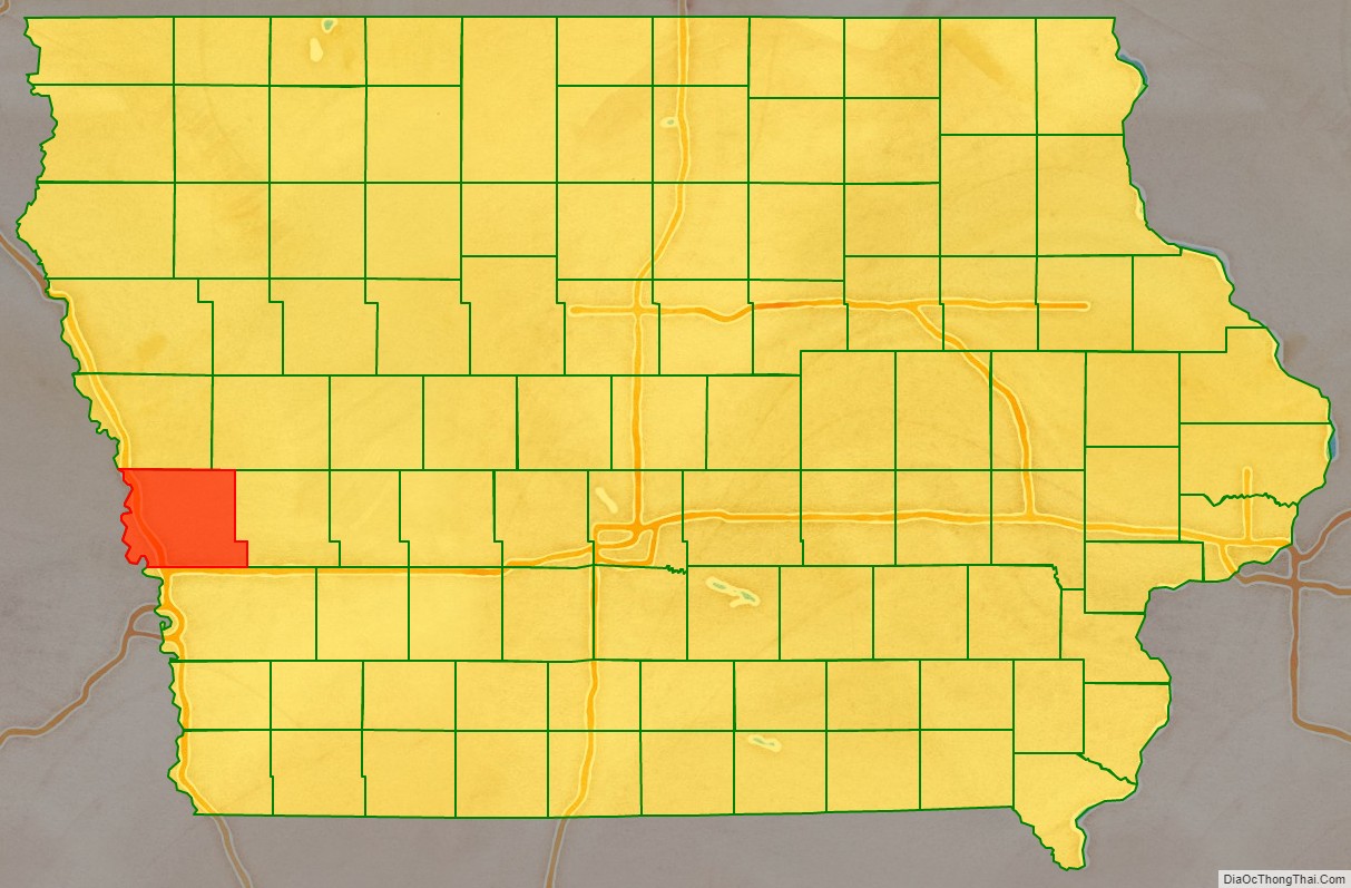
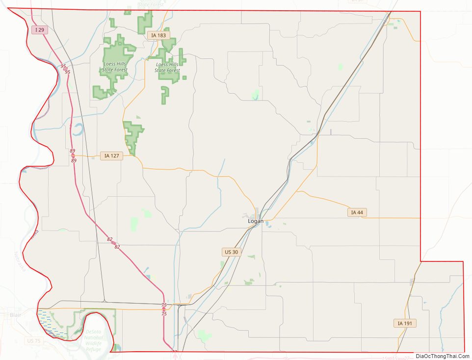
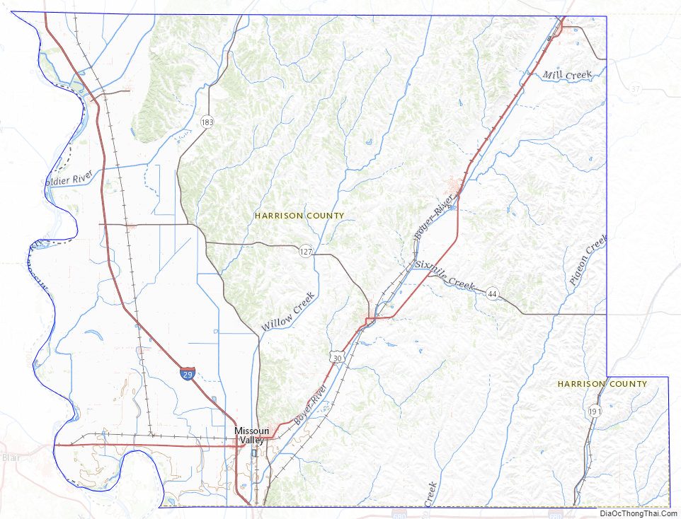
Harrison County Road Map
Geography
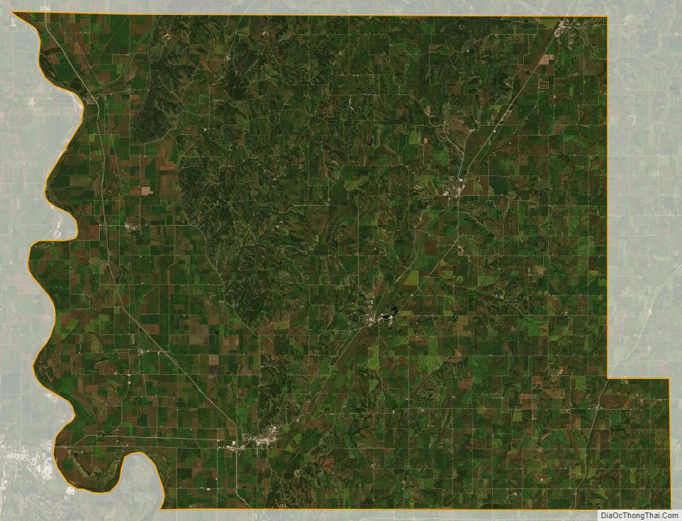
According to the U.S. Census Bureau, the county has a total area of 702 square miles (1,820 km), of which 697 square miles (1,810 km) is land and 4.8 square miles (12 km) (0.7%) is water.
Major highways
- Interstate 29
- U.S. Highway 30
- Iowa Highway 37
- Iowa Highway 44
- Iowa Highway 127
- Iowa Highway 183
- Iowa Highway 191
Adjacent counties
- Monona County (north)
- Crawford County (northeast)
- Shelby County (east)
- Pottawattamie County (south)
- Washington County, Nebraska (southwest)
- Burt County, Nebraska (northwest)
National protected area
- DeSoto National Wildlife Refuge (part)
Harrison County Topographic Map
Harrison County Satellite Map
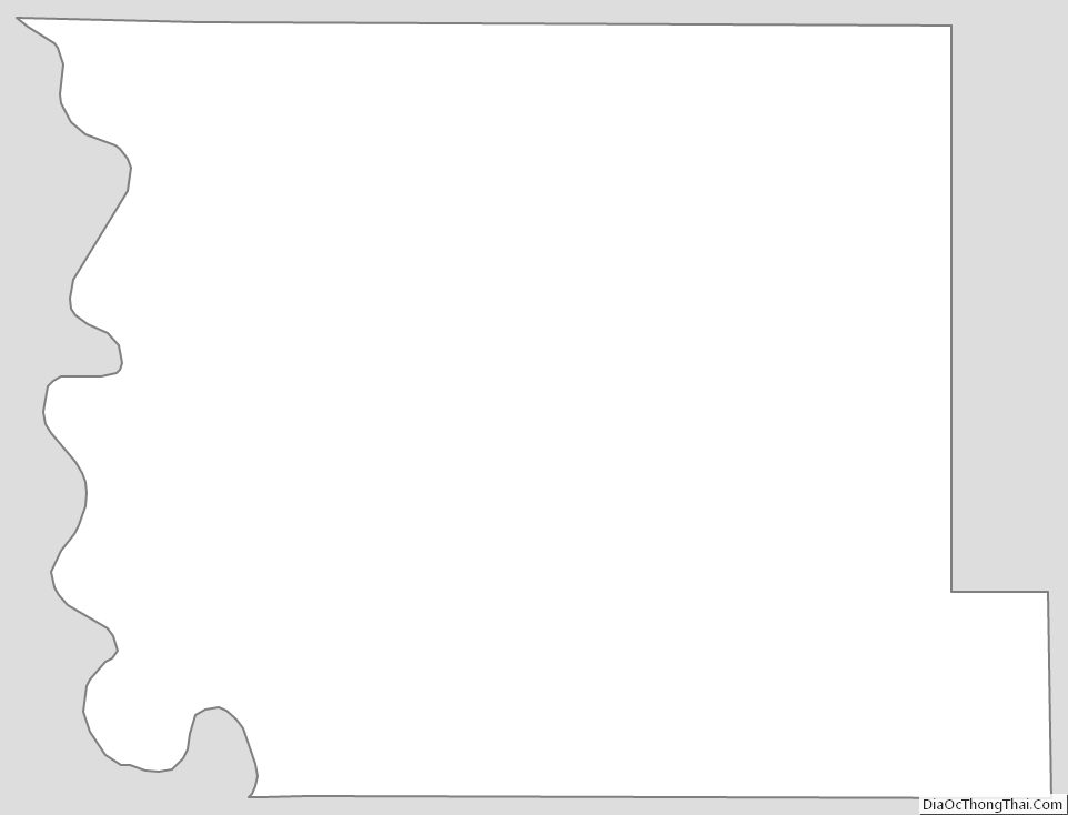
Harrison County Outline Map