Decatur County (/dɪˈkeɪtər/) is a county located in the U.S. state of Iowa. As of the 2020 census, the population was 7,645. The county seat is Leon. This county is named for Stephen Decatur Jr., a hero in the War of 1812.
| Name: | Decatur County |
|---|---|
| FIPS code: | 19-053 |
| State: | Iowa |
| Founded: | 1846 |
| Named for: | Stephen Decatur Jr. |
| Seat: | Leon |
| Largest city: | Lamoni |
| Total Area: | 533 sq mi (1,380 km²) |
| Land Area: | 532 sq mi (1,380 km²) |
| Total Population: | 7,645 |
| Population Density: | 14/sq mi (5.5/km²) |
| Time zone: | UTC−6 (Central) |
| Summer Time Zone (DST): | UTC−5 (CDT) |
| Website: | www.decaturcountyiowa.org |
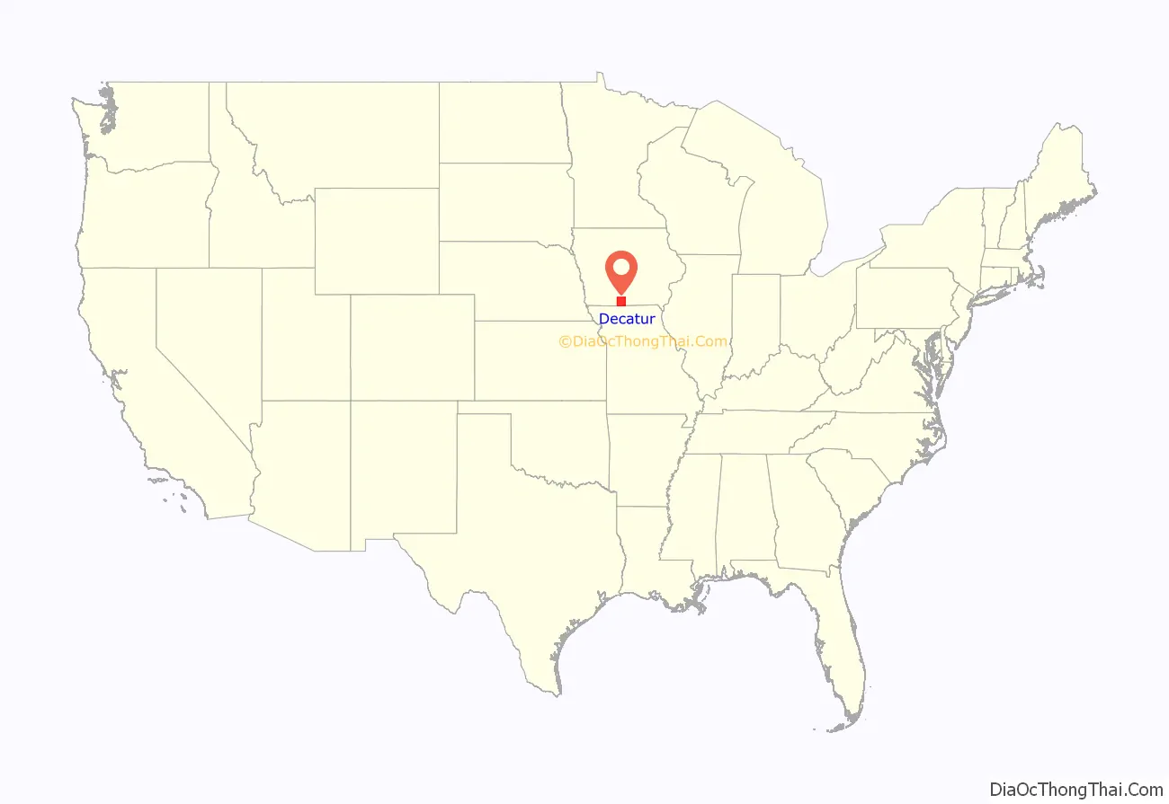
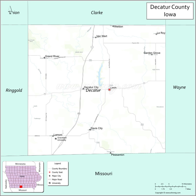
Decatur County location map. Where is Decatur County?
History
Decatur County was organized in 1850 and named for Stephen Decatur, a naval hero of the War of 1812. The current courthouse was dedicated in 1908.
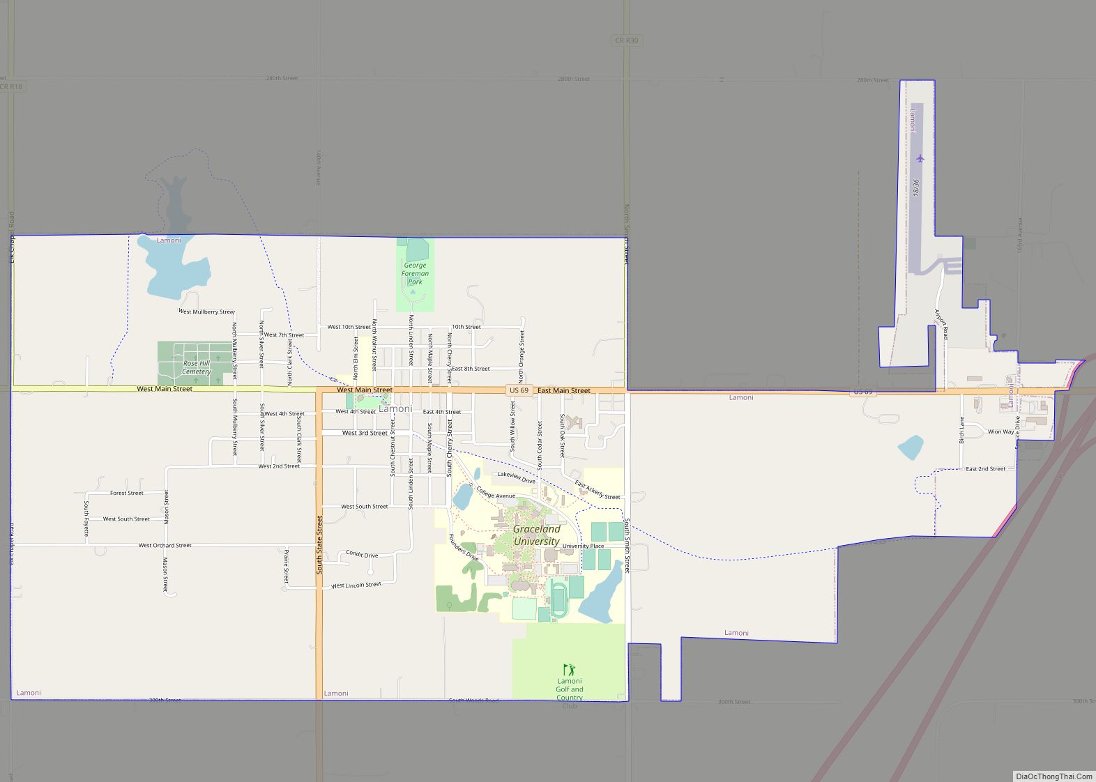
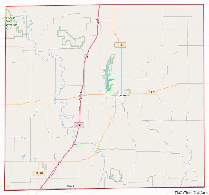
Decatur County Road Map
Geography
According to the U.S. Census Bureau, the county has a total area of 533 square miles (1,380 km), of which 532 square miles (1,380 km) is land and 1.6 square miles (4.1 km) (0.3%) is water.
Major highways
- Interstate 35
- U.S. Highway 69
- Iowa Highway 2
Transit
- List of intercity bus stops in Iowa
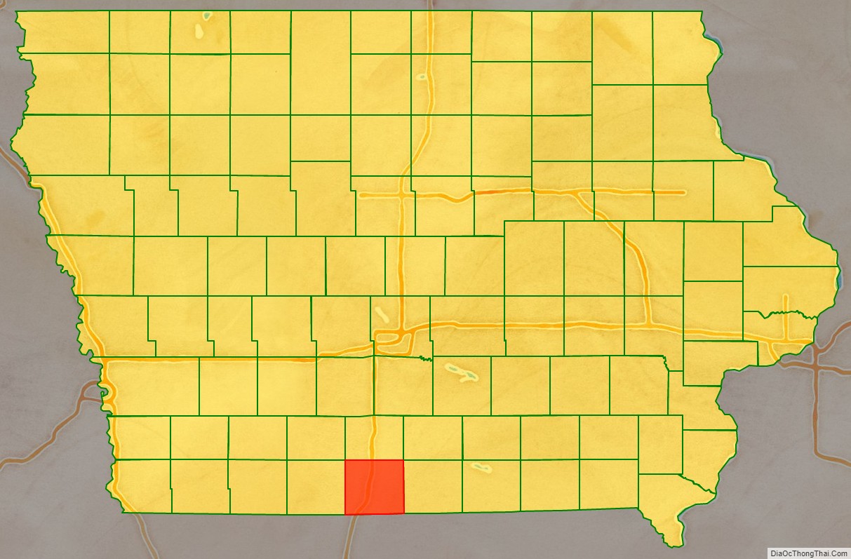
Adjacent counties
- Clarke County (north)
- Wayne County (east)
- Mercer County, Missouri (southeast)
- Harrison County, Missouri (southwest)
- Ringgold County (west)
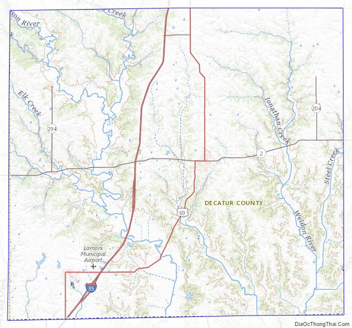
Decatur County Topographic Map
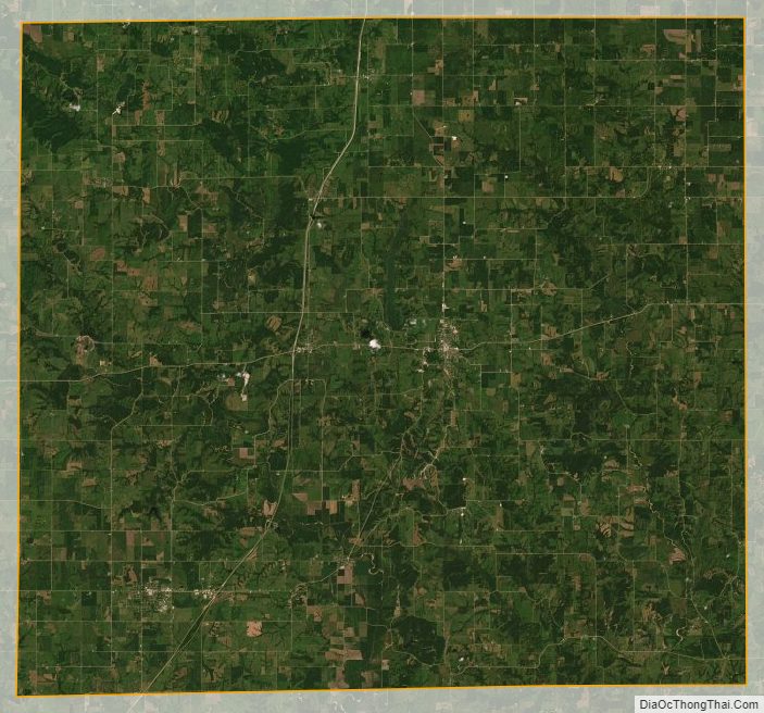
Decatur County Satellite Map
Decatur County Outline Map