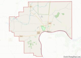
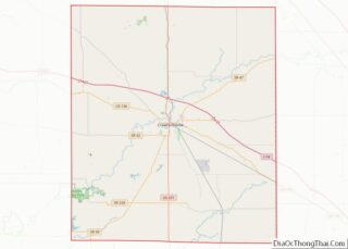
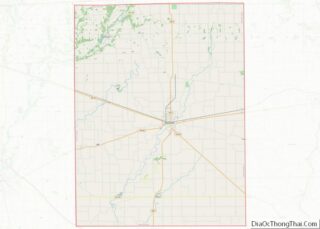
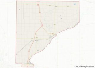
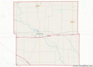
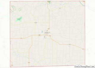
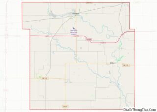
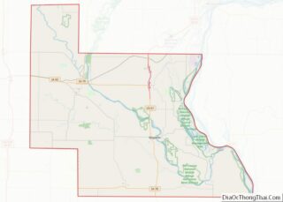
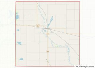
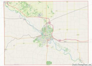
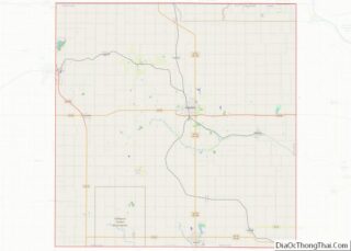
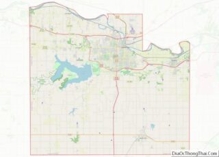
Map of Dupage County

Map of Dupage County, Illinois

DuPage County (/duːˈpeɪdʒ/ doo-PAYJ) is a county in the U.S. state of Illinois, and one of the collar counties of the Chicago metropolitan area. As of the 2020 census, the population was 932,877, making it Illinois’ second-most populous county. Its county seat is Wheaton. Known for its vast tallgrass prairies, DuPage County has become mostly … Read more

Map of Iroquois County

Map of Iroquois County, Illinois

Iroquois County is a county located in the northeast part of the U.S. state of Illinois. According to the 2020 United States Census, it has a population of 27,077. It is the only county in the United States to be named Iroquois, after the American Indian people. The county seat is Watseka. The county is … Read more

Map of Livingston County

Map of Livingston County, Illinois

Livingston County is a county located in the U.S. state of Illinois. According to the 2020 census, it has a population of 35,815. Its county seat is Pontiac. Livingston County comprises the Pontiac, IL Micropolitan Statistical Area, which is combined with the Bloomington–Normal metropolitan statistical area as the Bloomington-Pontiac, IL Combined Statistical Area. Livingston County … Read more

Map of Morgan County

Map of Morgan County, Illinois

Morgan County is a county located in the U.S. state of Illinois. According to the 2010 census, it had a population of 35,547. Its county seat is Jacksonville. Morgan County is part of the Jacksonville, IL Micropolitan Statistical Area, which is also included in the Springfield-Jacksonville-Lincoln, IL Combined Statistical Area. Morgan County overview: Name: Morgan … Read more

Map of Schuyler County

Map of Schuyler County, Illinois

Schuyler County is a county in the U.S. state of Illinois. According to the 2010 census, it had a population of 7,544. Its county seat is Rushville. Schuyler County overview: Name: Schuyler County FIPS code: 17-169 State: Illinois Founded: 1825 Named for: Philip Schuyler Seat: Rushville Largest city: Rushville Total Area: 441 sq mi (1,140 km²) Land Area: … Read more

Map of Winnebago County

Map of Winnebago County, Illinois

Winnebago County is a county located in the U.S. state of Illinois. According to the 2020 census, it had a population of 285,350 making it the seventh most populous county in Illinois behind Cook County and its five surrounding collar counties. Its county seat is Rockford. Winnebago County is the central county of the Rockford … Read more

Map of De Kalb County

Map of DeKalb County, Indiana

DeKalb County is a county in the U.S. state of Indiana. As of the 2020 United States Census, the population was 43,265. The county seat is Auburn. DeKalb County overview: Name: DeKalb County FIPS code: 18-033 State: Indiana Founded: 7 February 1835 (authorized)1837 (organized) Named for: Johann, Baron de Kalb Seat: Auburn Largest city: Auburn … Read more

Map of Harrison County

Map of Harrison County, Indiana

Harrison County is located in the far southern part of the U.S. state of Indiana along the Ohio River. The county was officially established in 1808. Its county seat is Corydon, the former capital of Indiana. Harrison County is part of the Louisville-Jefferson County, KY-IN Metropolitan Statistical Area. The county has a diverse economy with … Read more

Map of LaPorte County

Map of LaPorte County, Indiana

LaPorte County is a county located in the U.S. state of Indiana. As of 2010, the population was 111,467. The county seat is the city of La Porte, and the largest city is Michigan City. This county is part of the Northwest Indiana and Michiana regions of the Chicago metropolitan area. The LaPorte County Courthouse … Read more

Map of Perry County

Map of Perry County, Indiana

Perry County is a county located in the southwestern part of the U.S. state of Indiana. As of 2010, the population was 19,338. The county seat is Tell City. It is the hilliest county as well as one of the most forested counties in Indiana as it features more than 60,000 acres (240 km) of Hoosier … Read more

Map of Switzerland County

Map of Switzerland County, Indiana

Switzerland County is a county in the southeast corner of the U.S. state of Indiana. As of the 2020 United States Census, the population was 9,737. The county seat is Vevay, one of two incorporated towns in the county. Switzerland County overview: Name: Switzerland County FIPS code: 18-155 State: Indiana Founded: 1814 Named for: Switzerland … Read more

Map of Adams County

Map of Adams County, Iowa

Adams County is a county in the U.S. state of Iowa. As of the 2020 census, the population was 3,704, making it Iowa’s least-populous county. Its county seat is Corning. Adams County overview: Name: Adams County FIPS code: 19-003 State: Iowa Founded: March 12, 1853 Named for: John Adams Seat: Corning Largest city: Corning Total … Read more