Douglas County (county code DG) is located in the U.S. state of Kansas. As of the 2020 census, the county population was 118,785, making it the fifth-most populous county in Kansas. Its county seat and most populous city is Lawrence.
| Name: | Douglas County |
|---|---|
| FIPS code: | 20-045 |
| State: | Kansas |
| Founded: | August 25, 1855 |
| Named for: | Stephen Douglas |
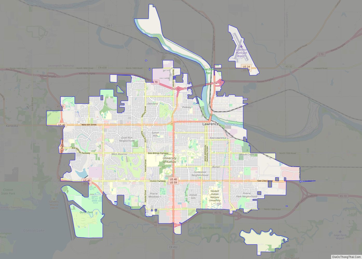
| Seat: | Lawrence |
| Largest city: | Lawrence |
| Total Area: | 475 sq mi (1,230 km²) |
| Land Area: | 456 sq mi (1,180 km²) |
| Total Population: | 118,785 |
| Population Density: | 260.5/sq mi (100.6/km²) |
| Time zone: | UTC−6 (Central) |
| Summer Time Zone (DST): | UTC−5 (CDT) |
| Website: | douglascountyks.org |
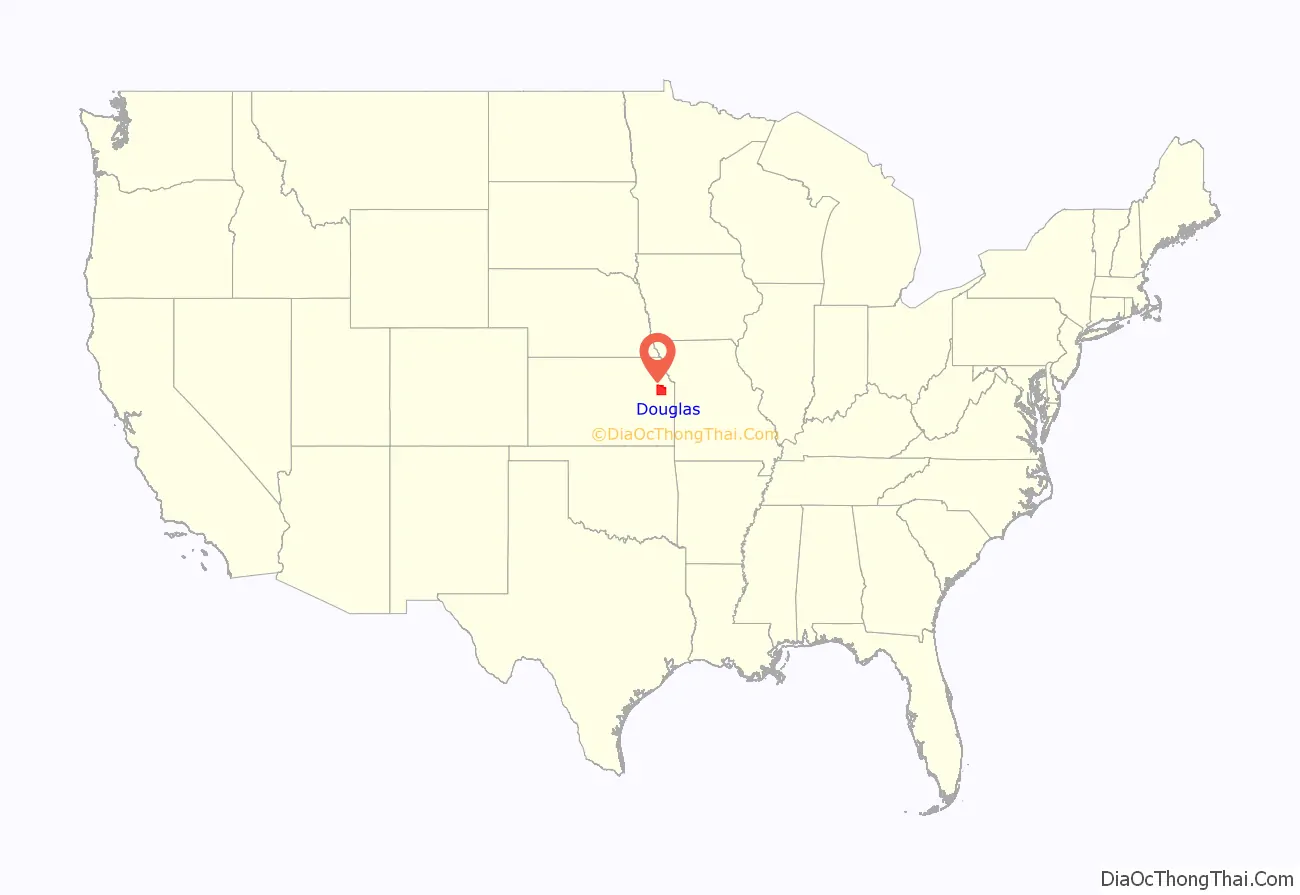
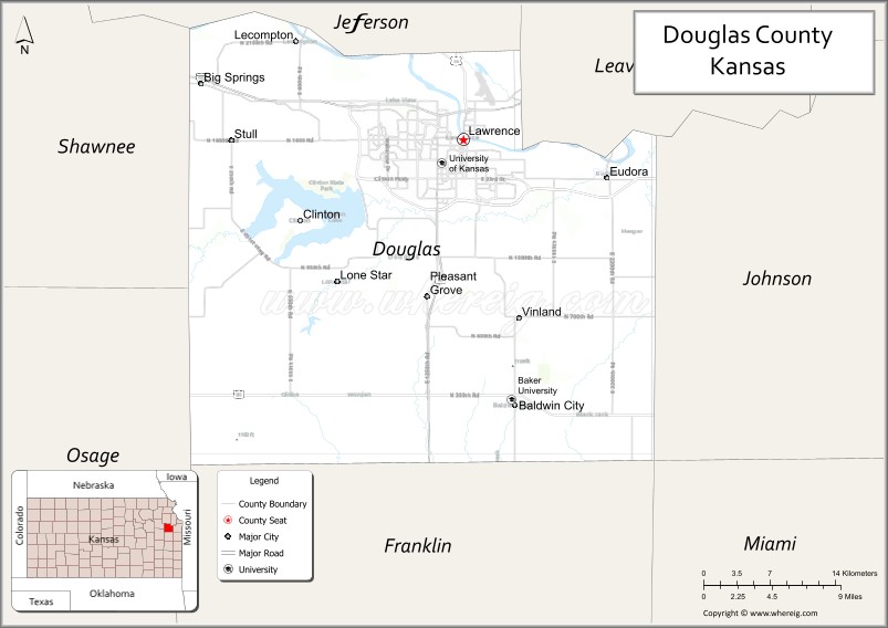
Douglas County location map. Where is Douglas County?
History
Early history
For millennia, the Great Plains of North America was inhabited by nomadic Native Americans. From the 16th century to 18th century, the Kingdom of France claimed ownership of large parts of North America. In 1762, after the French and Indian War, France secretly ceded New France to Spain, per the Treaty of Fontainebleau. In 1802, Spain returned most of the land to France via the Third Treaty of San Ildefonso, although the former country kept title to about 7,500 square miles. In 1803, most of the land for modern day Kansas was acquired by the United States from France as part of the 828,000 square mile Louisiana Purchase for 2.83 cents per acre.
19th century
In 1854, the Kansas Territory was organized, then in 1861 Kansas became the 34th U.S. state. In 1855, Douglas County was established. Douglas County was opened for settlement on May 15, 1854, and was named for Stephen A. Douglas, a senator from Illinois. The county was practically at the center of the Bleeding Kansas years as leaders in Lecompton (the territorial capital) wanted Kansas to be a slave state, whereas leaders in Lawrence wanted Kansas to be a free state. The pro- and anti-slavery settlers held great animosity towards one another, leading to many events, such as the drafting of the Lecompton Constitution (which would have admitted Kansas into the Union as a slave state), the Wakarusa War (1855), the Sack of Lawrence (1856), Battle of Black Jack (1856), and the Lawrence Massacre (1863).
The first railroad in Douglas County, the Kansas Pacific, was built through that territory in 1864.
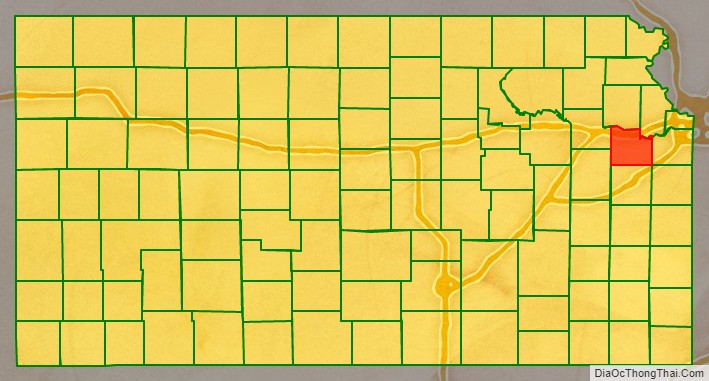
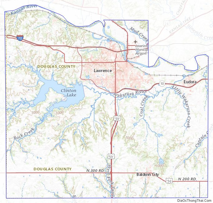
Douglas County Road Map
Geography
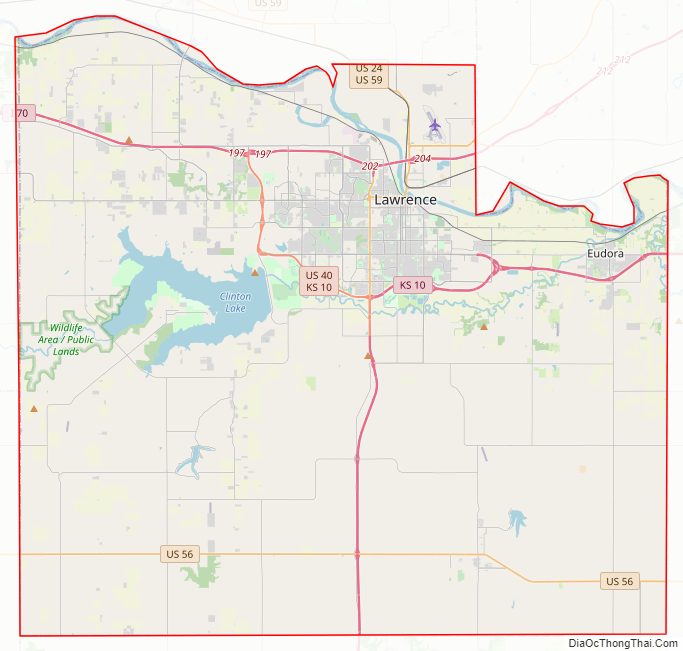
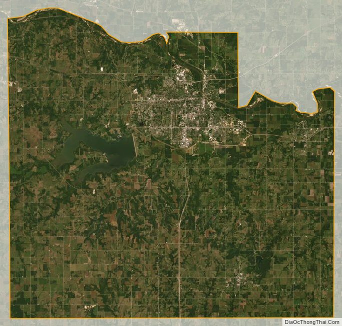
According to the United States Census Bureau, the county has a total area of 475 square miles (1,230 km), of which 456 square miles (1,180 km) is land and 19 square miles (49 km) (4.0%) is water. It is the fifth-smallest county in Kansas by land area. Much of its northern boundary is defined by the Kansas River, which flows through Lawrence and provides hydropower at the Bowersock Dam.
Lakes
- Clinton Lake
- Lone Star Lake
Adjacent counties
- Jefferson County (north)
- Leavenworth County (northeast)
- Johnson County (east)
- Miami County (southeast)
- Franklin County (south)
- Osage County (southwest)
- Shawnee County (northwest)
Douglas County Topographic Map
Douglas County Satellite Map
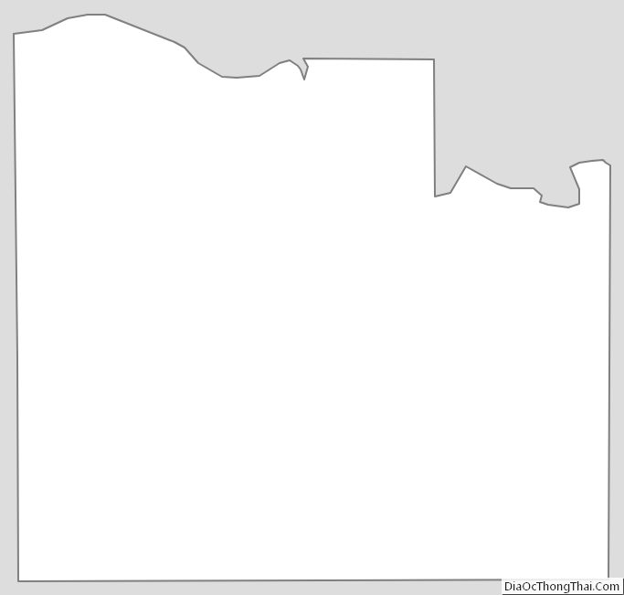
Douglas County Outline Map