Louisa County (/luˈaɪzə/ loo-EYE-zə) is a county located in the U.S. state of Iowa. As of the 2020 census, the population was 10,837. The county seat is Wapello.
Louisa County is part of the Muscatine Micropolitan Statistical Area.
| Name: | Louisa County |
|---|---|
| FIPS code: | 19-115 |
| State: | Iowa |
| Founded: | 1836 |
| Seat: | Wapello |
| Largest city: | Wapello |
| Total Area: | 418 sq mi (1,080 km²) |
| Land Area: | 402 sq mi (1,040 km²) |
| Total Population: | 10,837 |
| Population Density: | 26/sq mi (10/km²) |
| Time zone: | UTC−6 (Central) |
| Summer Time Zone (DST): | UTC−5 (CDT) |
| Website: | louisacountyia.gov |
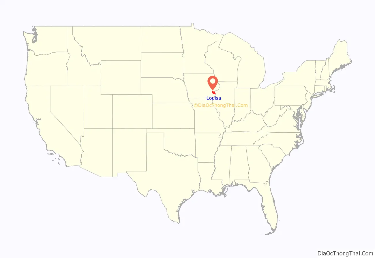
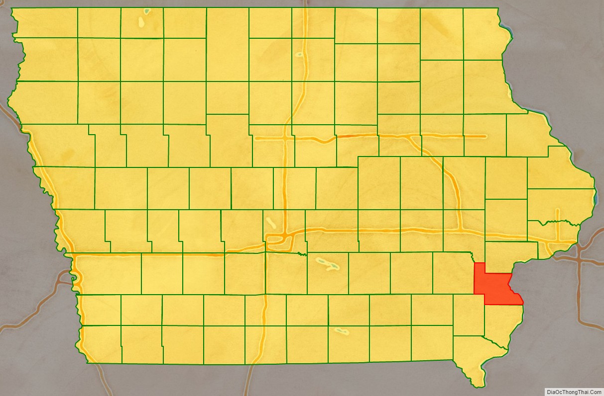
Louisa County location map. Where is Louisa County?
History
Louisa County was formed on December 7, 1836, as a part of Wisconsin Territory. Two theories have been offered for the origins of its name: one is that it was named after Louisa Massey, who was very well known in the area at the time because she avenged the murder of her brother when she shot the party responsible; the other is that it was named after Louisa County, Virginia. Louisa County became a part of Iowa Territory upon its formation on July 4, 1838. Zach Odle and Zach Grimm both hail from Wapello.
The first courthouse was a simple wood-framed building. In 1840, a second courthouse, measuring 40′ x 20′ (about 12 x 6 m), was constructed of stone. In 1854, a third structure was built. The courthouse used today was erected in 1928.
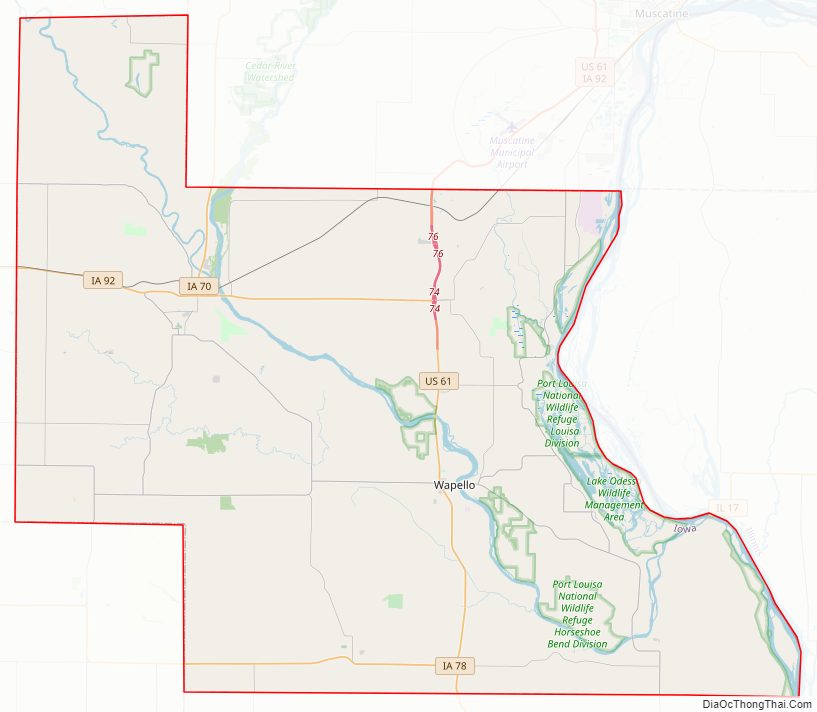
Louisa County Road Map
Geography
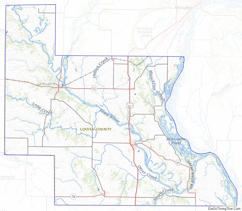
According to the U.S. Census Bureau, the county has a total area of 418 square miles (1,080 km), of which 402 square miles (1,040 km) is land and 16 square miles (41 km) (3.8%) is water. Its eastern border is adjacent to the Mississippi River.
Major highways
- U.S. Highway 61
- Iowa Highway 70
- Iowa Highway 78
- Iowa Highway 92
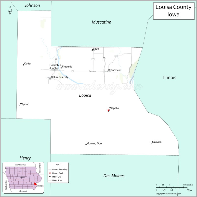
Adjacent counties
- Johnson County (northwest)
- Muscatine County (north)
- Rock Island County, Illinois (northeast)
- Mercer County, Illinois (east)
- Des Moines County (south)
- Henry County (southwest)
- Washington County (west)
National protected area
- Port Louisa National Wildlife Refuge
Louisa County Topographic Map
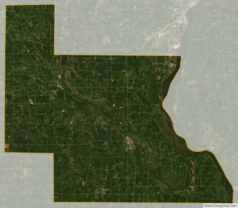
Louisa County Satellite Map
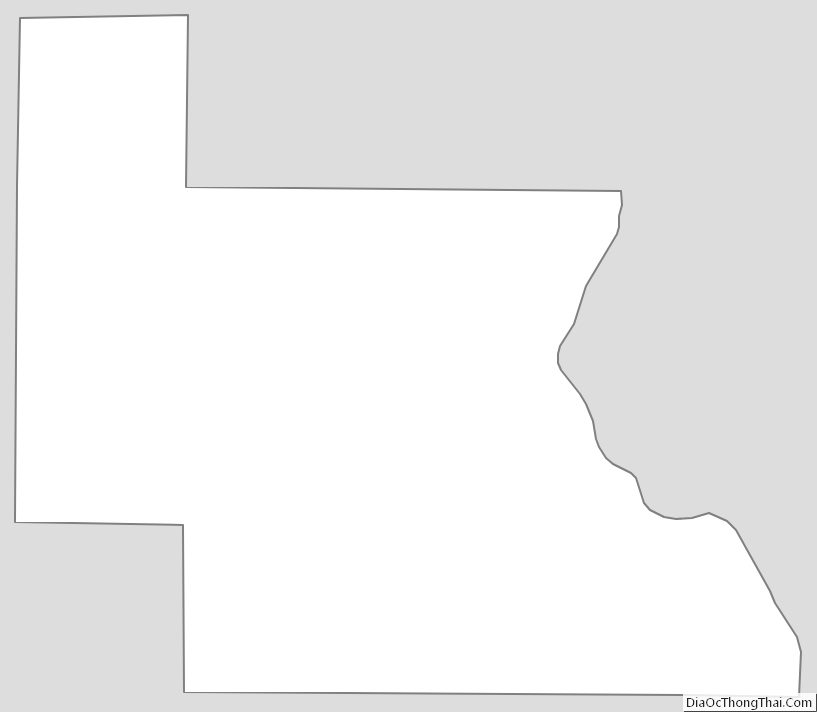
Louisa County Outline Map