Jefferson County is a county located in the U.S. state of Indiana. As of 2020, the population was 33,147. The county seat is Madison.
| Name: | Jefferson County |
|---|---|
| FIPS code: | 18-077 |
| State: | Indiana |
| Founded: | 1811 |
| Named for: | Thomas Jefferson |
| Seat: | Madison |
| Largest city: | Madison |
| Total Area: | 362.89 sq mi (939.9 km²) |
| Land Area: | 360.63 sq mi (934.0 km²) |
| Total Population: | 33,147 |
| Population Density: | 89/sq mi (34/km²) |
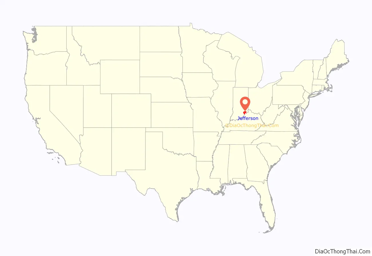
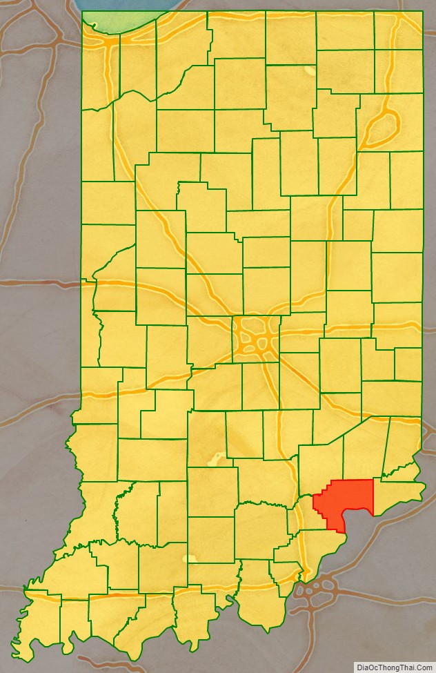
Jefferson County location map. Where is Jefferson County?
History
Jefferson County was formed on February 1, 1811, from Dearborn and Clark Counties. It was named for Thomas Jefferson, principal draftsman of the Northwest Ordinance and President of the United States from 1801 through 1809.
Jefferson County was one of Indiana’s first counties, and many important early Hoosiers came from Madison, including William Hendricks. Throughout the early history of the state, Madison was one of the leading cities competing with Vincennes, and later New Albany, to be the largest city in the state. The county fell into economic decline after the American Civil War, as industry began to shift from southern Indiana to the northern part of the state.
On the evening of May 20, 2009, the county courthouse caught fire. The fire began in the steeple of the courthouse, which was under reconstruction for Madison’s bicentenary. The roof of the dome had just been painted gold. Fire departments from across southern Indiana and northern Kentucky arrived to put out the fire which burned for several hours, destroyed much of the inside of the building and the county records. The fire forced the evacuation of the nearby county jail, and effectively shut down the downtown area of the city. It was later determined the fire was accidentally started by workers who were welding on the metal roof dome.
The tallest waterfall in Indiana, Fremont Falls, is located in Hanover.
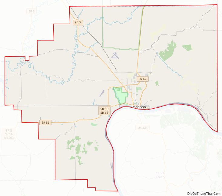
Jefferson County Road Map
Geography
According to the 2010 census, the county has a total area of 362.89 square miles (939.9 km), of which 360.63 square miles (934.0 km) (or 99.38%) is land and 2.26 square miles (5.9 km) (or 0.62%) is water. Jefferson County makes up the Madison, IN Micropolitan Statistical Area.
Cities and towns
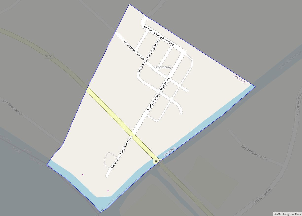
- Brooksburg
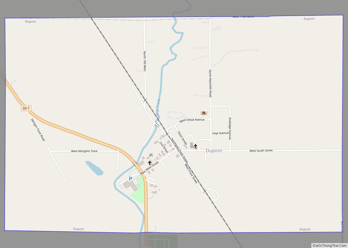
- Dupont
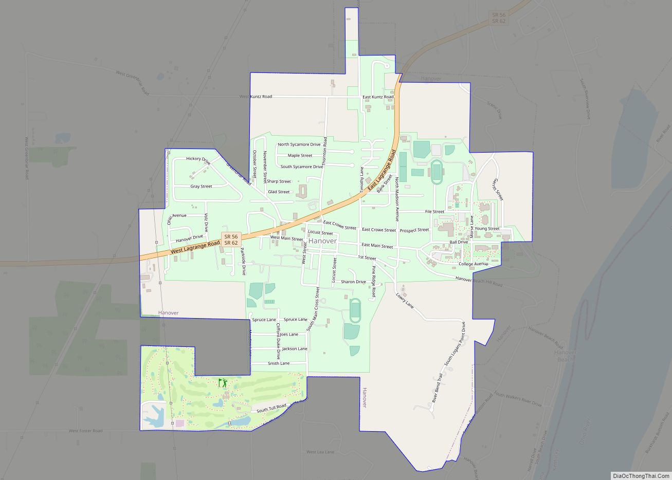
- Hanover
- Madison (primary city)
Census-designated places
Townships
- Graham
- Hanover
- Lancaster
- Madison
- Milton
- Monroe
- Republican
- Saluda
- Shelby
- Smyrna
Adjacent counties
- Ripley County (north)
- Switzerland County (east)
- Carroll County, Kentucky (southeast)
- Trimble County, Kentucky (south)
- Clark County (southwest)
- Scott County (west)
- Jennings County (northwest)
Major highways
Sources: National Atlas, U.S. Census Bureau
- U.S. Route 421
- Indiana State Road 3
- Indiana State Road 7
- Indiana State Road 56
- Indiana State Road 62
- Indiana State Road 250
- Indiana State Road 256
- Indiana State Road 356
- Indiana State Road 362
National protected area
- Big Oaks National Wildlife Refuge (part)
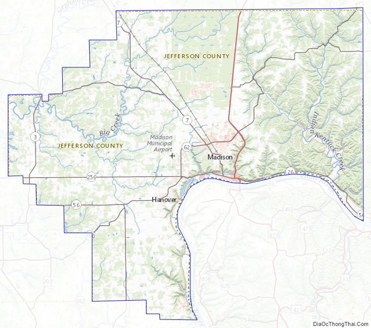
Jefferson County Topographic Map
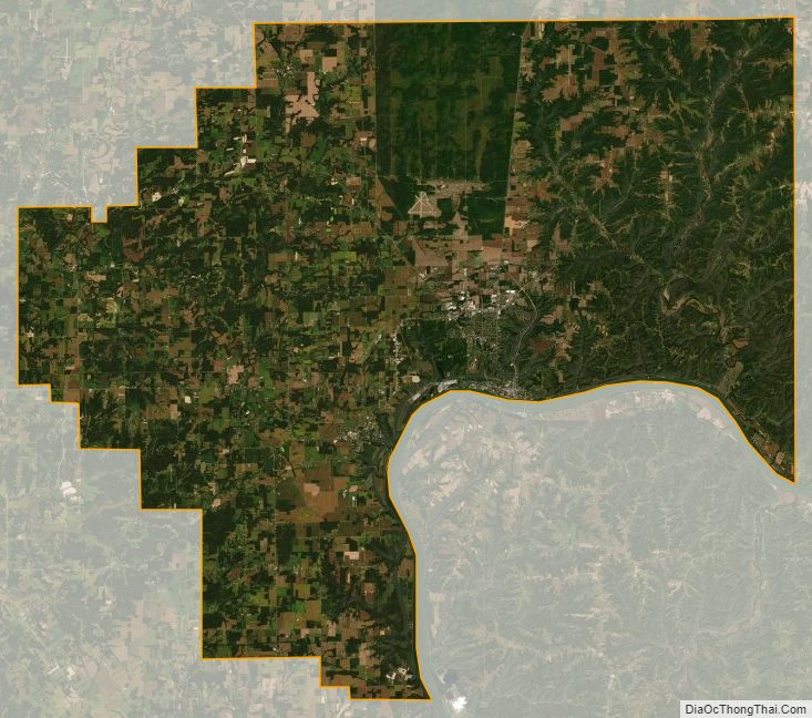
Jefferson County Satellite Map
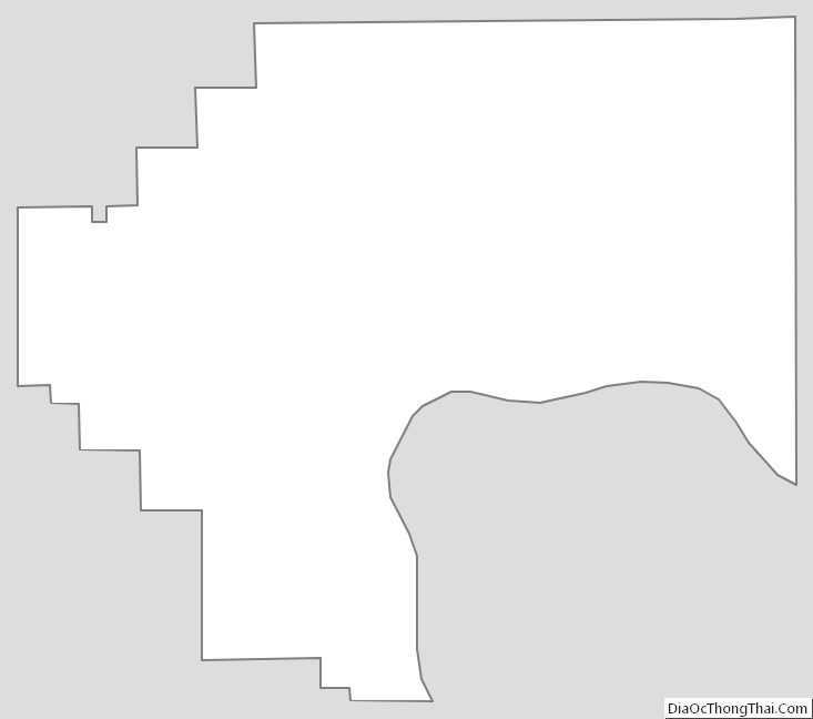
Jefferson County Outline Map