| Name: | Rush County |
|---|---|
| FIPS code: | 18-139 |
| State: | Indiana |
| Founded: | 1822 |
| Named for: | Benjamin Rush |
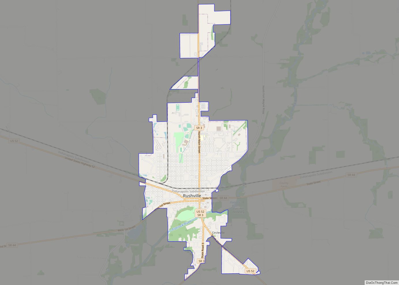
| Seat: | Rushville |
| Largest city: | Rushville |
| Total Area: | 408.46 sq mi (1,057.9 km²) |
| Land Area: | 408.12 sq mi (1,057.0 km²) |
| Population Density: | 40.8/sq mi (15.8/km²) |
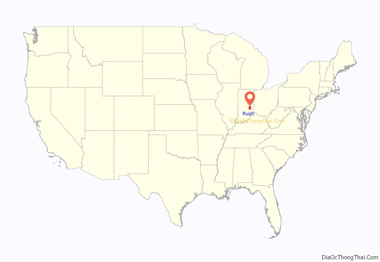
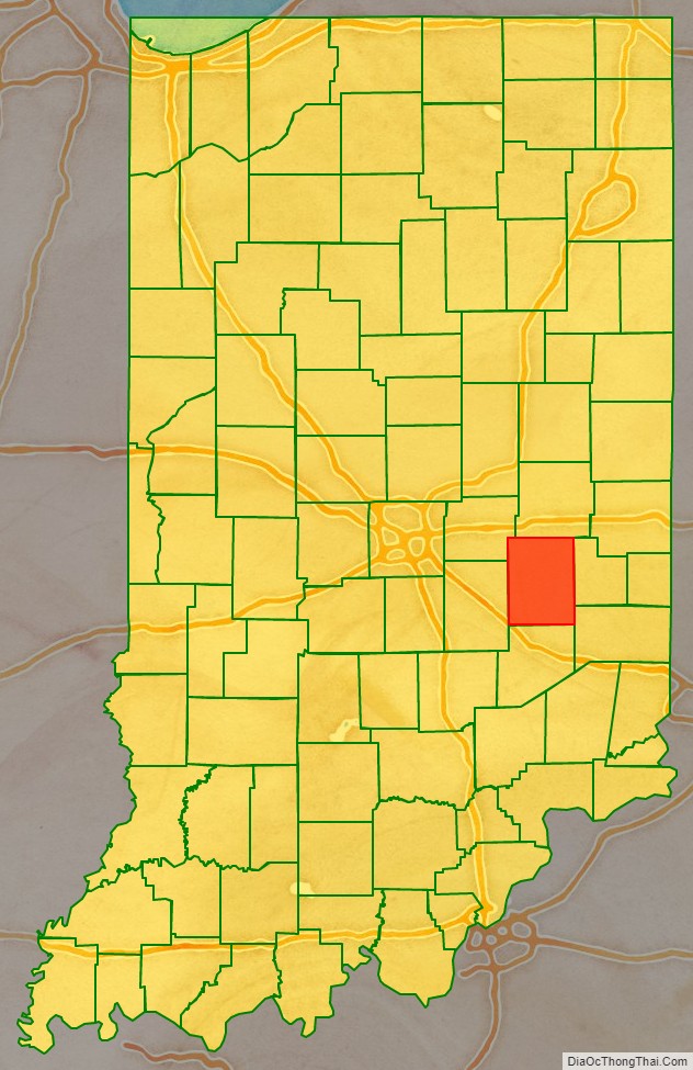
Rush County location map. Where is Rush County?
History
When the Indiana Territory was granted statehood (20 December 1816), there were no settlers on the lands of the future Rush County. However, this changed quickly, and by 1821 the newly founded settlements were desirous of being organized into a county unit. Accordingly, the state legislature passed an act dated 31 December 1821 which authorized Rush County, effective 1 April, and further authorized the first commissioners (pro tem) to begin organizing the county’s governing structure on 3 June 1822. The act also authorized six townships to cover the county; subsequent growth through the years has caused the number of townships to double. It was named for Dr. Benjamin Rush, one of the signers of the 1776 Declaration of Independence. That same summer (1822) the future town (and county seat) of Rushville was platted and laid out.
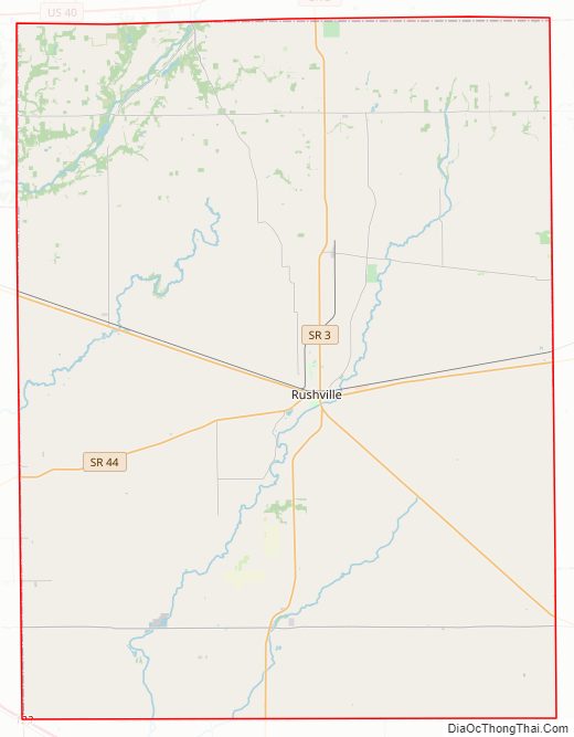
Rush County Road Map
Geography
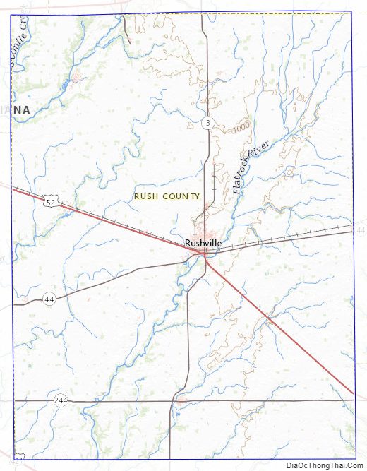
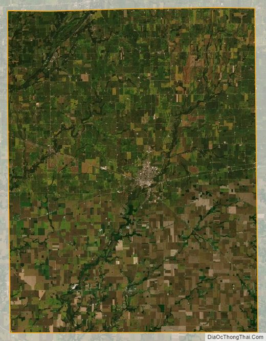
In the 1820s the low rolling hills of Rush County were generously covered with trees, usually walnut and sugar maples. By 1879 Rush County was the state’s largest producer of maple syrup. However, logging and clearing for agriculture have completely removed the trees, except for stands in drainages, and the available land is completely devoted to agriculture or urban development. The Big Blue River drains the upper part of the county, flowing to the southwest. The Little Blue River flows southwest to drain the central part of the county, and Flatrock River flows south-southwest through the lower central part of the county. The terrain’s highest point (1,135 feet/346 m ASL) is an isolated rise at the county’s east boundary, 1.4 mile (2.2 km) SSW of Glenwood. According to the 2010 census, the county has a total area of 408.46 square miles (1,057.9 km), of which 408.12 square miles (1,057.0 km) (or 99.92%) is land and 0.34 square miles (0.88 km) (or 0.08%) is water.
Adjacent counties
- Henry County – north
- Fayette County – east
- Franklin County – southeast
- Decatur County – south
- Shelby County – west
- Hancock County – northwest
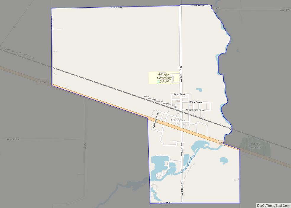
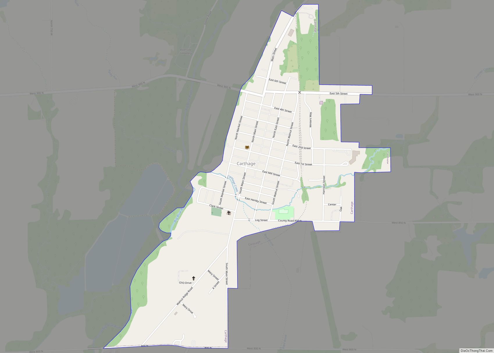
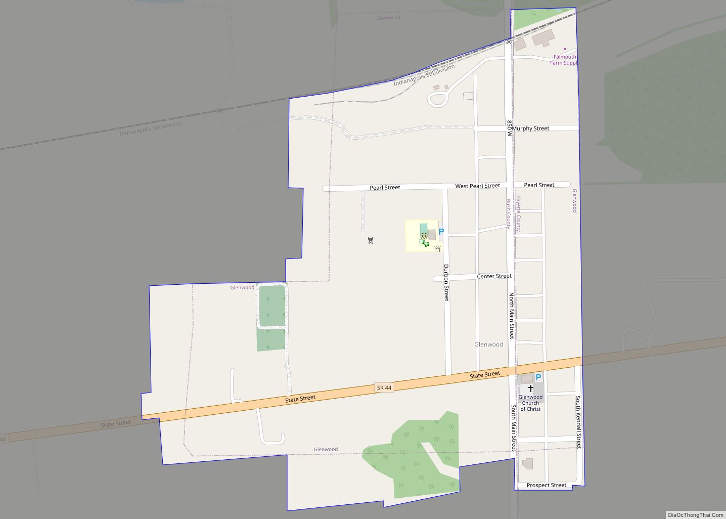
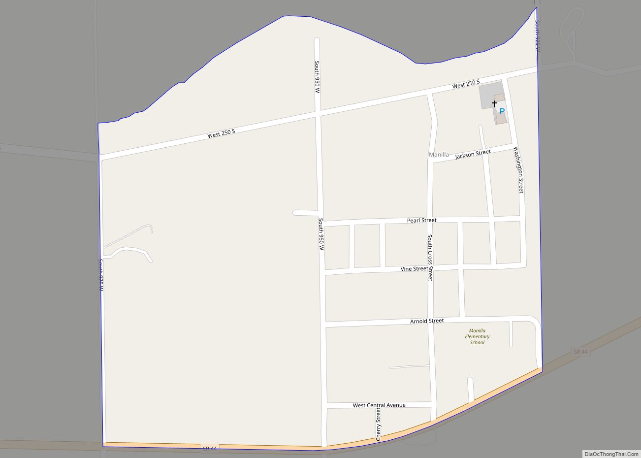
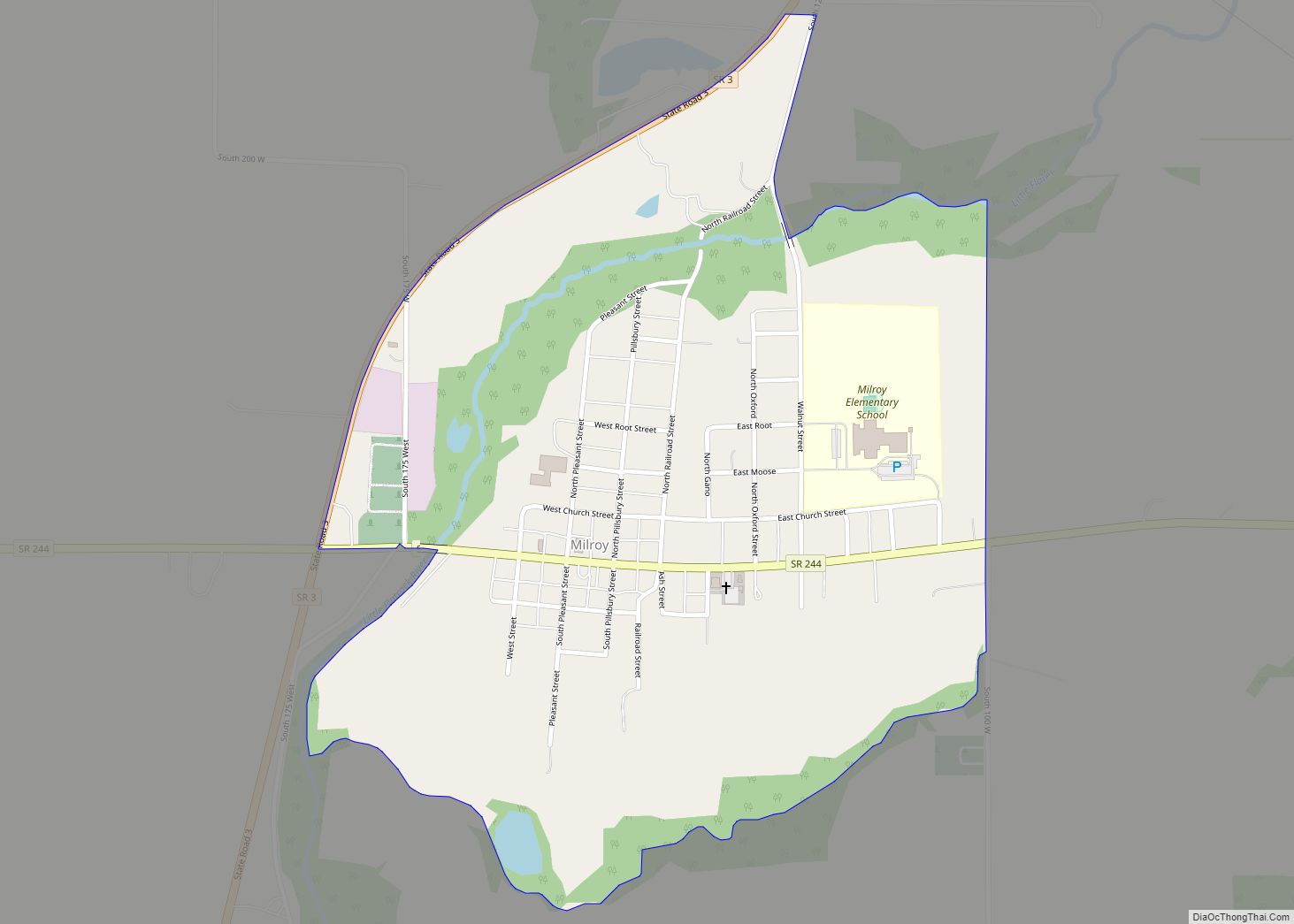
Cities and towns
Census-designated places
Unincorporated towns
- Boyd
- Charlottesville
- Circleville
- Fairview
- Falmouth
- Farmers
- Farmington
- Gings
- Gowdy
- Henderson
- Henry
- Homer
- Mauzy
- Mays
- Moscow
- New Salem
- Occident
- Raleigh
- Richland
- Sexton
- Sulphur Spring
- Williamstown
Townships
- Anderson
- Center
- Jackson
- Noble
- Orange
- Posey
- Richland
- Ripley
- Rushville
- Union
- Walker
- Washington
Major highways
- / Interstate 74/U.S. Route 421**
- U.S. Route 52
- Indiana State Road 3
- Indiana State Road 44
- Indiana State Road 140
- Indiana State Road 244
Rush County Topographic Map
Rush County Satellite Map
Rush County Outline Map