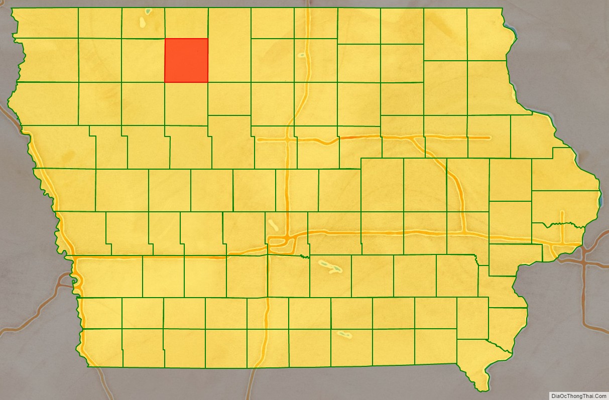
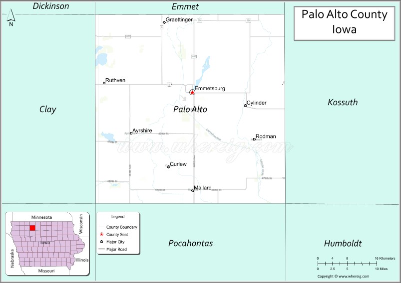
Palo Alto County is a county located in the U.S. state of Iowa. As of the 2020 census, the population was 8,996. The county seat is Emmetsburg. It is named after the Battle of Palo Alto, the first major battle of the Mexican–American War.
| Name: | Palo Alto County |
|---|---|
| FIPS code: | 19-147 |
| State: | Iowa |
| Founded: | January 15, 1851 |
| Named for: | Battle of Palo Alto |
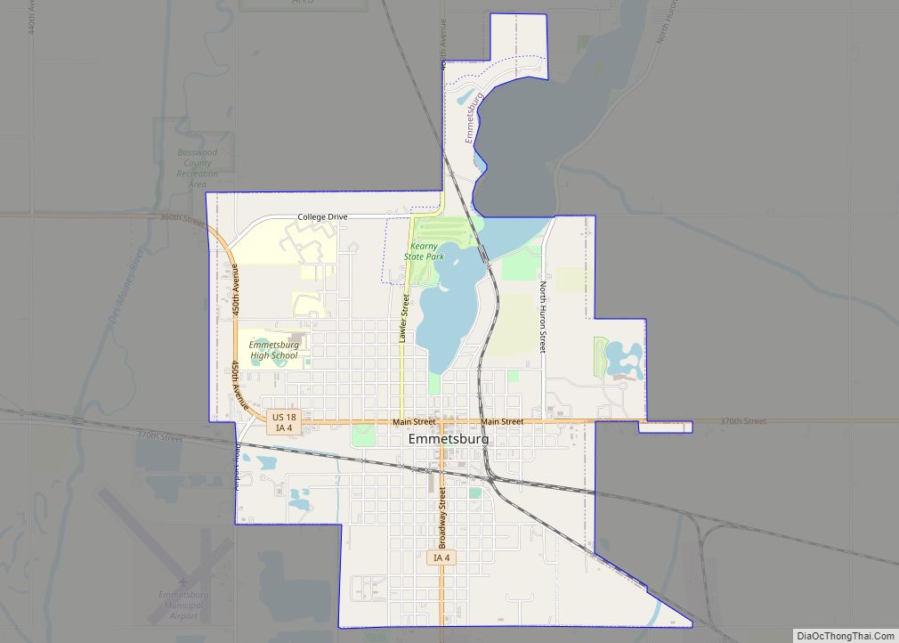
| Seat: | Emmetsburg |
| Largest city: | Emmetsburg |
| Total Area: | 569 sq mi (1,470 km²) |
| Land Area: | 564 sq mi (1,460 km²) |
| Total Population: | 8,996 |
| Population Density: | 16/sq mi (6.1/km²) |
| Time zone: | UTC−6 (Central) |
| Summer Time Zone (DST): | UTC−5 (CDT) |
| Website: | paloaltocounty.iowa.gov |
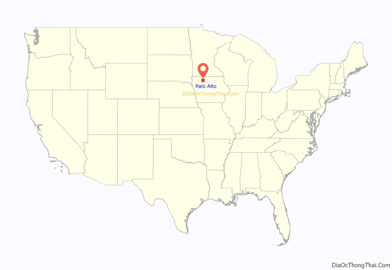
Palo Alto County location map. Where is Palo Alto County?
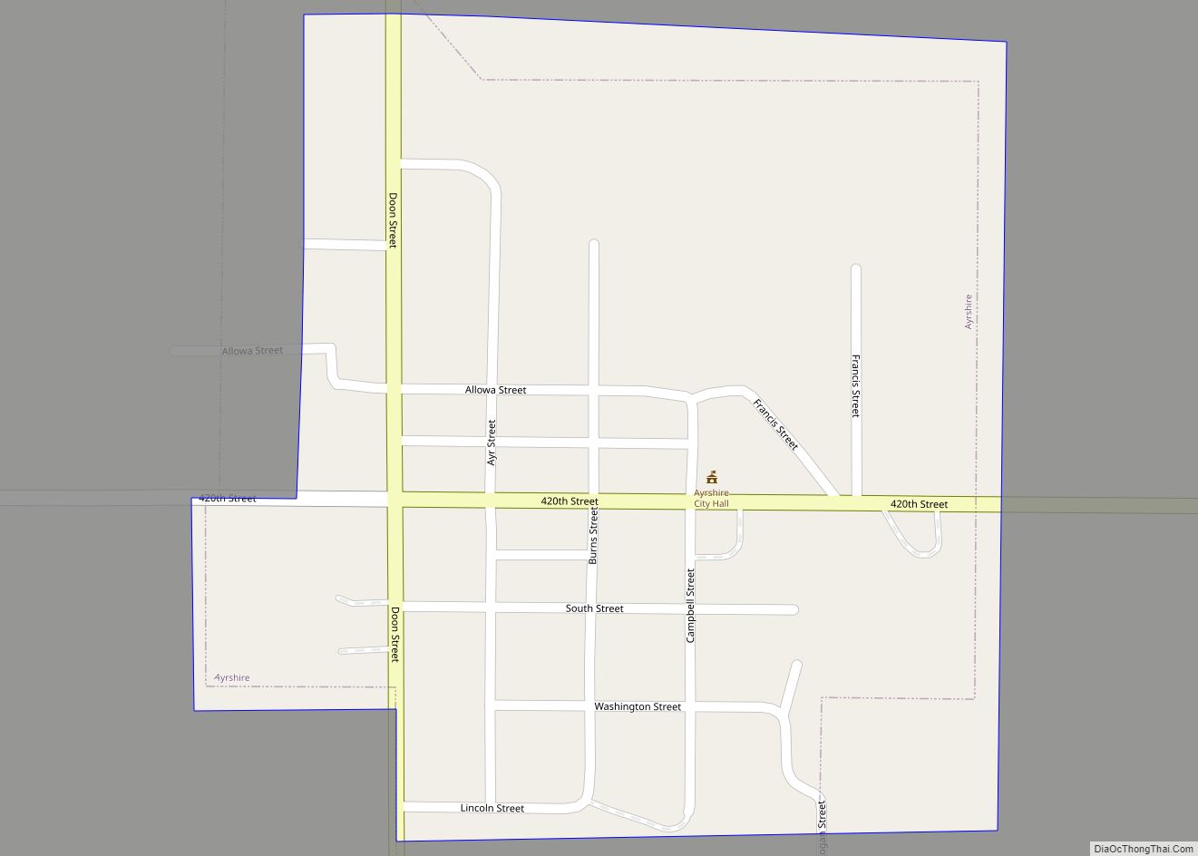
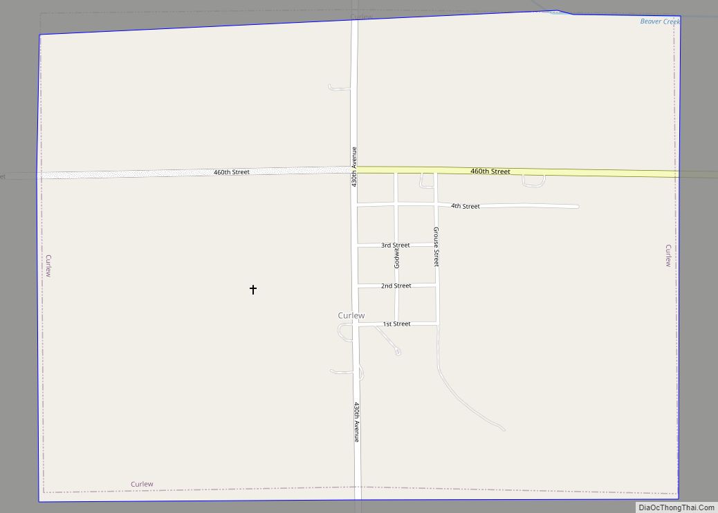
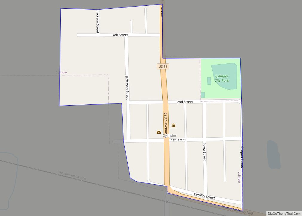
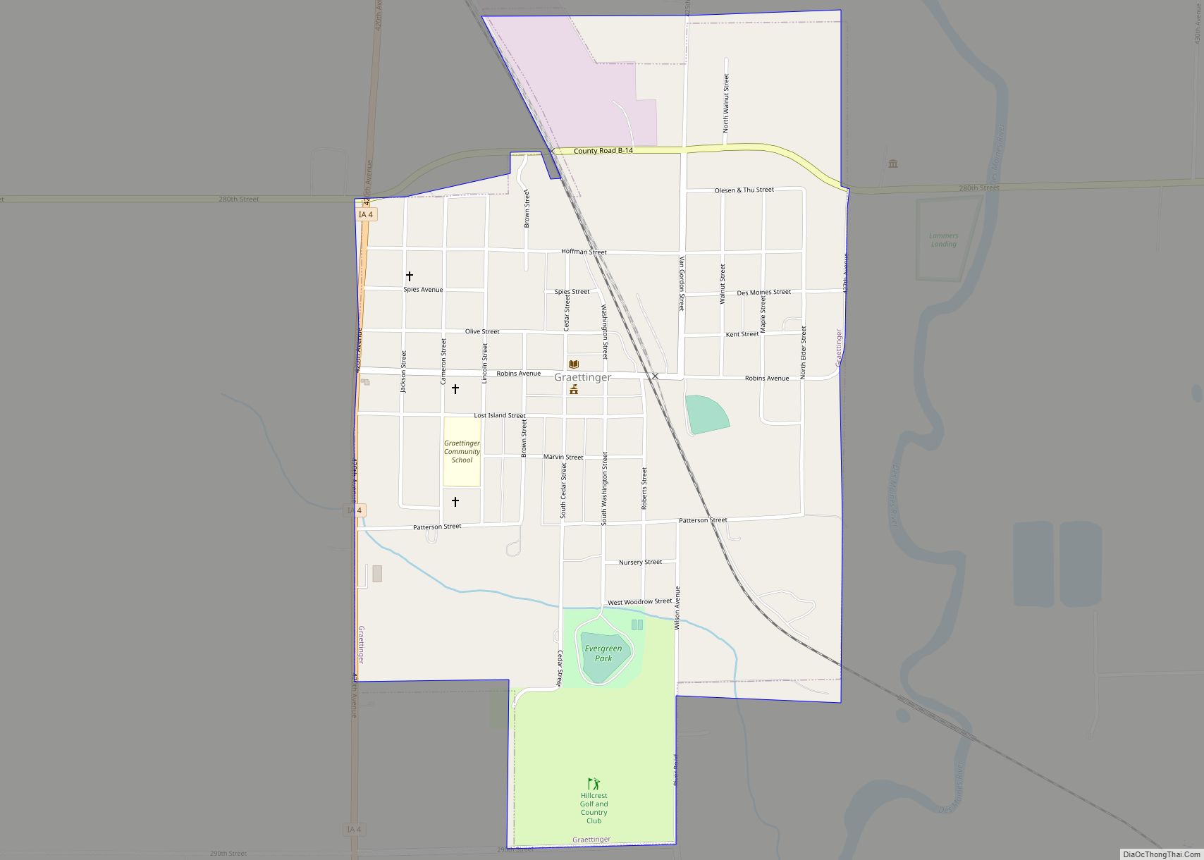
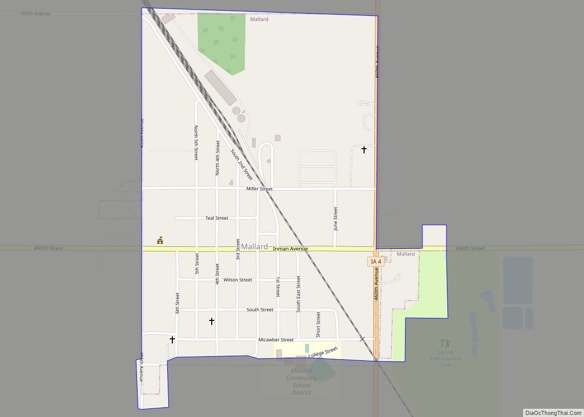
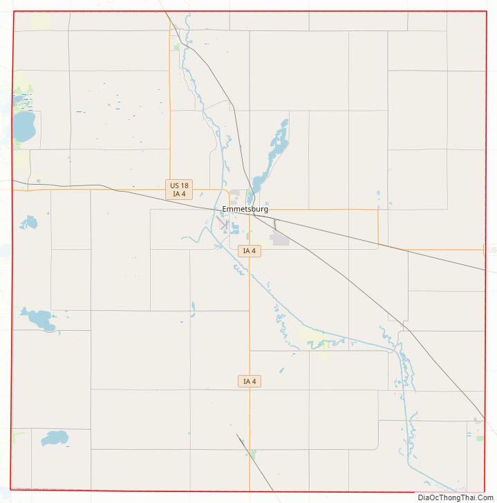
Palo Alto County Road Map
Geography
According to the U.S. Census Bureau, the county has a total area of 569 square miles (1,470 km), of which 564 square miles (1,460 km) is land and 5.6 square miles (15 km) (1.0%) is water.
Major highways
- U.S. Highway 18
- Iowa Highway 4
- Iowa Highway 15
Adjacent counties
- Emmet County (north)
- Kossuth County (east)
- Pocahontas County (south)
- Clay County (west)
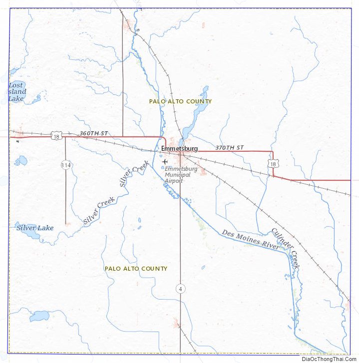
Palo Alto County Topographic Map
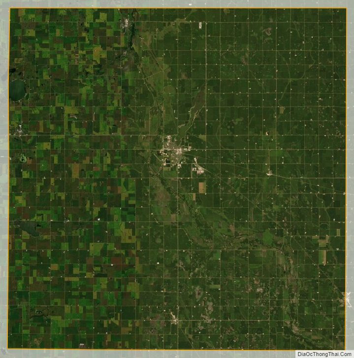
Palo Alto County Satellite Map
Palo Alto County Outline Map