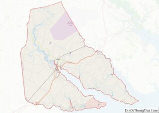
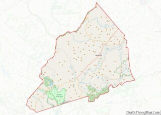
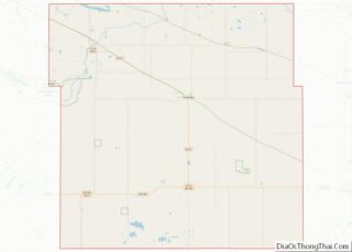
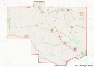
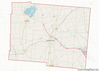
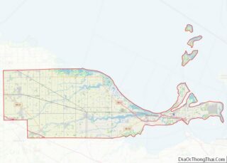
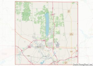
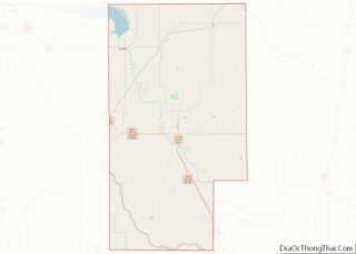
Map of Wake County, North Carolina
Wake County is located in the U.S. state of North Carolina. In the 2020 census, its population was 1,129,410, making it North Carolina’s most-populous county. From July 2005 to July 2006, Wake County was the 9th-fastest growing county in the United States, with the town of Cary and the city of Raleigh being the 8th- ... Read more
Map of Wake County, North Carolina
Map of Burleigh County, North Dakota
Burleigh County is a county in the U.S. state of North Dakota. As of the 2020 census, the population was 98,458, making it the second-most populous county in North Dakota. Its county seat is Bismarck, the state capital. The county was named for Dakota Territory political figure Walter A. Burleigh. Burleigh County overview: Name: Burleigh ... Read more
Map of Burleigh County, North Dakota
Map of Logan County, North Dakota
Logan County is a county in the U.S. state of North Dakota. As of the 2020 census, the population was 1,876. Its county seat is Napoleon. Logan County overview: Name: Logan County FIPS code: 38-047 State: North Dakota Founded: 1873 Named for: John A. Logan Seat: Napoleon Largest city: Napoleon Total Area: 1,011 sq mi (2,620 km²) Land ... Read more
Map of Logan County, North Dakota
Map of Rolette County, North Dakota
Rolette County is a county in the U.S. state of North Dakota. As of the 2020 census, the population was 12,187. Its county seat is Rolla. Rolette County overview: Name: Rolette County FIPS code: 38-079 State: North Dakota Founded: 1873 Named for: Joseph Rolette Seat: Rolla Total Area: 939 sq mi (2,430 km²) Land Area: 903 sq mi (2,340 km²) Total ... Read more
Map of Rolette County, North Dakota
Map of Ashland County, Ohio
Ashland County is a county located in the northeastern portion of the U.S. state of Ohio. As of the 2020 census, the population was 52,447. Its county seat and largest city is Ashland. The county is named for “Ashland”, the home of Senator Henry Clay near Lexington, Kentucky. It was formed in 1846 from parts ... Read more
Map of Ashland County, Ohio
Map of Darke County, Ohio
Darke County is a county in the U.S. state of Ohio. As of the 2020 census, the population was 51,881. Its county seat and largest city is Greenville. The county was created in 1809 and later organized in 1817. It is named for William Darke, an officer in the American Revolutionary War. Darke County comprises ... Read more
Map of Darke County, Ohio
Map of Henry County, Ohio
Henry County is a county located in the U.S. state of Ohio. As of the 2020 census, the population was 27,662. Its county seat is Napoleon. The county was created in 1820 and later organized in 1834. It is named for American Founding Father Patrick Henry, the Virginian famous for his “give me liberty, or ... Read more
Map of Henry County, Ohio
Map of Mahoning County, Ohio
Mahoning County is a county in the U.S. state of Ohio. As of the 2020 census, the population was 228,614. Its county seat and largest city is Youngstown. The county is named after the Mahoning River and was formed on March 1, 1846; the 83rd county in Ohio. Until 1846, the area that is now ... Read more
Map of Mahoning County, Ohio
Map of Pike County, Ohio
Pike County is a county located in the Appalachian (southern) region of the U.S. state of Ohio. As of the 2020 census, the population was 27,088. Its county seat is Waverly. The county is named for explorer Zebulon Pike. Pike County overview: Name: Pike County FIPS code: 39-131 State: Ohio Founded: February 1, 1815 Named ... Read more
Map of Pike County, Ohio
Map of Vinton County, Ohio
Vinton County is a county located in the U.S. state of Ohio. As of the 2020 census, the population was 12,800, making it the least populous county in the state. Its county seat is McArthur. The county is named for Samuel Finley Vinton, US Representative from Ohio (1823–37, 1843–51). Vinton County overview: Name: Vinton County ... Read more
Map of Vinton County, Ohio
Map of Carter County, Oklahoma
Carter County is a county in the U.S. state of Oklahoma. As of the 2010 census, the population was 47,557. Its county seat is Ardmore. The county was named for Captain Ben W. Carter, a Cherokee who lived among the Chickasaw. Carter County is part of the Ardmore Micropolitan Statistical Area. It is also a ... Read more
Map of Carter County, Oklahoma
Map of Grady County, Oklahoma
Grady County is a county located in the U.S. state of Oklahoma. As of the 2010 census, the population was 52,431. Its county seat is Chickasha. It was named for Henry W. Grady, an editor of the Atlanta Constitution and southern orator. Grady County is part of the Oklahoma City, OK Metropolitan Statistical Area. Grady ... Read more
Map of Grady County, Oklahoma