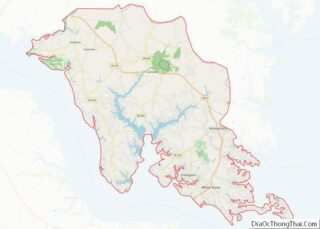
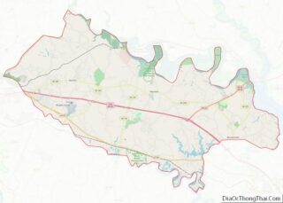
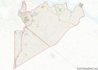
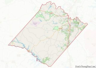
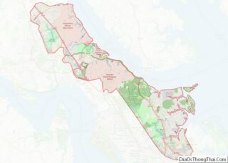
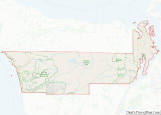
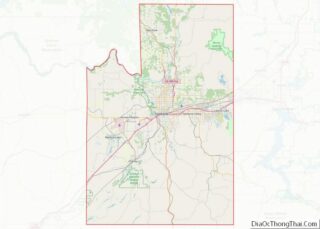
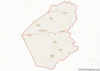
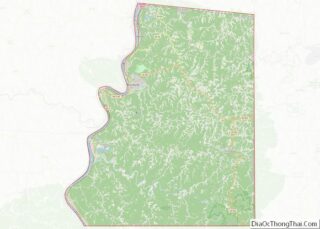
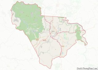
Floyd County is a county in the U.S. state of Texas. As of the 2020 census, its population was 5,402. The seat of the county is Floydada. The county was created in 1876 and later organized in 1890. It is named for Dolphin Ward Floyd, who died on his 32nd birthday, March 6, 1836, defending ... Read more
Map of US Counties
Grimes County is a county located in southeastern Texas in the United States. As of the 2020 census, its population was 29,268. The seat of the county is Anderson. The county was formed from Montgomery County in 1846. It is named for Jesse Grimes, a signer of the Texas Declaration of Independence and early European-American ... Read more
Hill County is a county in the U.S. state of Texas. As of the 2020 census, its population was 35,874. Its county seat is Hillsboro. The county is named for George Washington Hill, secretary of war and secretary of the navy under the Republic of Texas. Hill County is part of Central Texas, though not ... Read more
Jim Wells County is a county in the U.S. state of Texas. As of the 2020 census, its population was 38,891. The county was founded in 1911 and is named for James B. Wells Jr. (1850–1923), for three decades a judge and Democratic Party political boss in South Texas. Jim Wells County comprises the Alice, ... Read more
Lamb County is a county located in the U.S. state of Texas. As of the 2020 census, its population was 13,045. Its county seat is Littlefield. The county was created in 1876, but not organized until 1908. It is named for George A. Lamb, who died in the Battle of San Jacinto. Lamb County was ... Read more
Mason County is a rural county located on the Edwards Plateau in the U.S. state of Texas. At the 2020 census, its population was 3,953. Its county seat is Mason. The county is named for Fort Mason, which was located in the county. Mason County overview: Name: Mason County FIPS code: 48-319 State: Texas Founded: ... Read more
Motley County overview: Name: Motley County FIPS code: 48-345 State: Texas Founded: 1891 Seat: Matador Largest town: Matador Total Area: 990 sq mi (2,600 km²) Land Area: 990 sq mi (2,600 km²) Total Population: 1,063 Population Density: 1.1/sq mi (0.41/km²) Time zone: UTC−6 (Central) Summer Time Zone (DST): UTC−5 (CDT) Website: www.co.motley.tx.us Motley County location map. Where is Motley County? Motley County ... Read more
Presidio County is a county located in the U.S. state of Texas. As of the 2020 census, its population was 6,131. Its county seat is Marfa. The county was created in 1850 and later organized in 1875. Presidio County (K-5 in Texas topological index of counties) is in the Trans-Pecos region of West Texas and ... Read more
San Patricio County is located in the U.S. state of Texas. As of the 2020 census, its population was 68,755. Its county seat is Sinton. San Patricio County is part of the Corpus Christi metropolitan statistical area. San Patricio County overview: Name: San Patricio County FIPS code: 48-409 State: Texas Founded: 1836 Named for: Saint ... Read more
Taylor County overview: Name: Taylor County FIPS code: 48-441 State: Texas Founded: 1878 Named for: Edward, George, and James Taylor Seat: Abilene Largest city: Abilene Total Area: 919.3 sq mi (2,381 km²) Land Area: 915.6 sq mi (2,371 km²) Total Population: 143,208 Population Density: 160/sq mi (60/km²) Time zone: UTC−6 (Central) Summer Time Zone (DST): UTC−5 (CDT) Website: www.taylorcountytexas.org Taylor County location ... Read more
Waller County is a county in the U.S. state of Texas. As of the 2020 census, its population was 56,794. Its county seat is Hempstead. The county was named for Edwin Waller, a signer of the Texas Declaration of Independence and first mayor of Austin. Waller County is included in the Houston-The Woodlands–Sugar Land, TX ... Read more
Zapata County is a county located in the U.S. state of Texas. As of the 2020 census, its population was 13,889. Its county seat is Zapata. The county is named for Colonel José Antonio de Zapata, a rancher in the area who rebelled against Mexico. Zapata County comprises the Zapata, TX Micropolitan Statistical Area. The ... Read more