King County is a county located in the U.S. state of Texas. As of the 2020 Census, its population was 265, making it the second-smallest county in Texas and the third-smallest county in the United States. King County has no incorporated communities. Its county seat is the census-designated place (CDP) of Guthrie. The county was created in 1876 and organized in 1891. It is named for William Philip King, who died at the Battle of the Alamo.
| Name: | King County |
|---|---|
| FIPS code: | 48-269 |
| State: | Texas |
| Founded: | 1891 |
| Named for: | William Philip King |
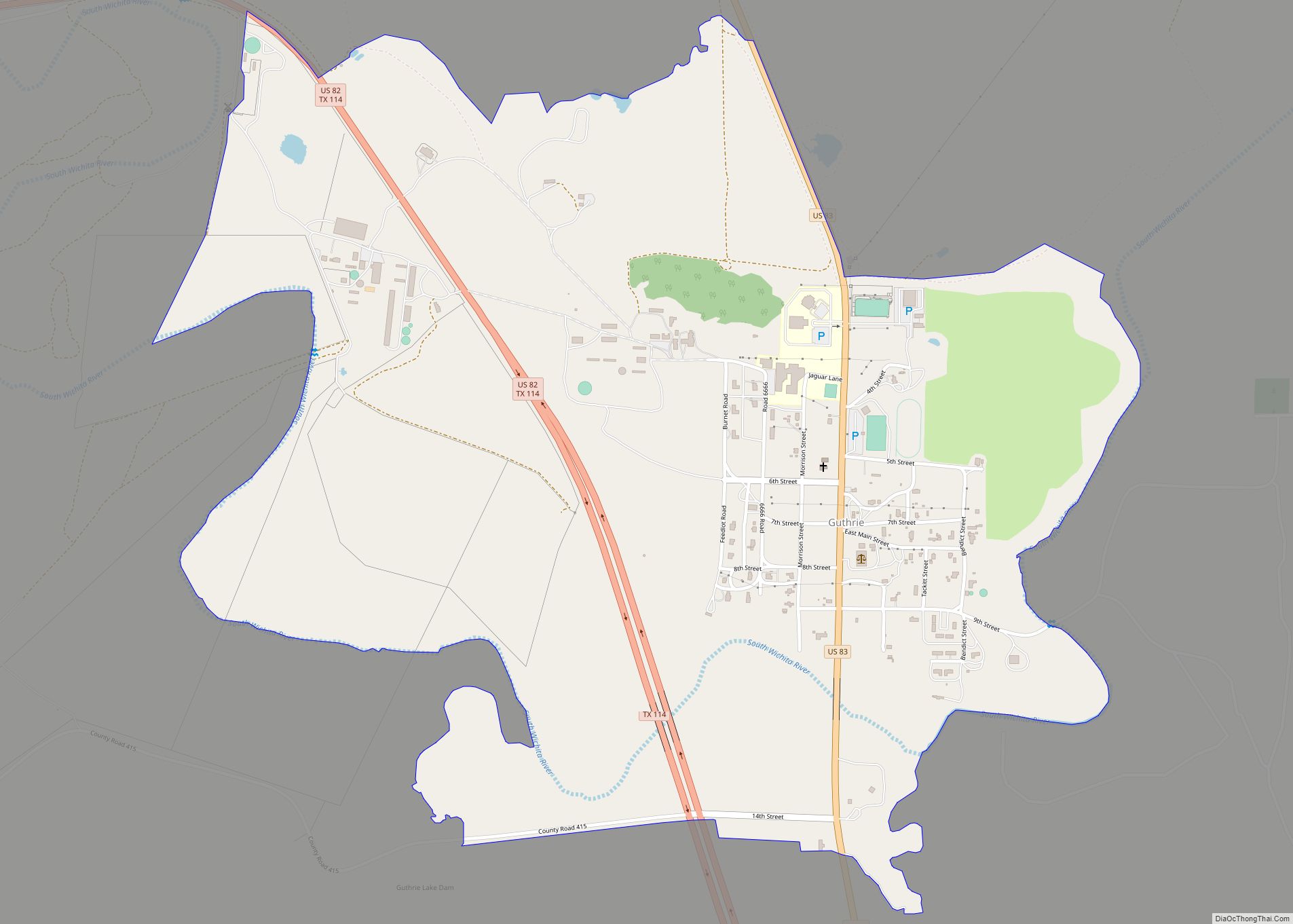
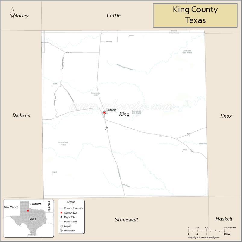
| Seat: | Guthrie |
| Total Area: | 913 sq mi (2,360 km²) |
| Land Area: | 911 sq mi (2,360 km²) |
| Total Population: | 265 |
| Population Density: | 0.29/sq mi (0.11/km²) |
| Time zone: | UTC−6 (Central) |
| Summer Time Zone (DST): | UTC−5 (CDT) |
| Website: | www.kingcountytexas.us |
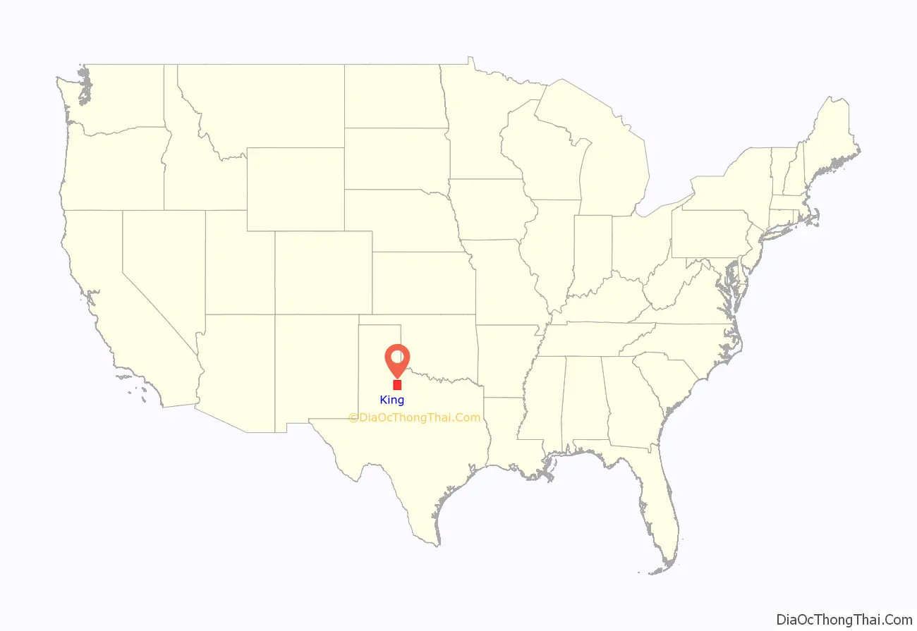
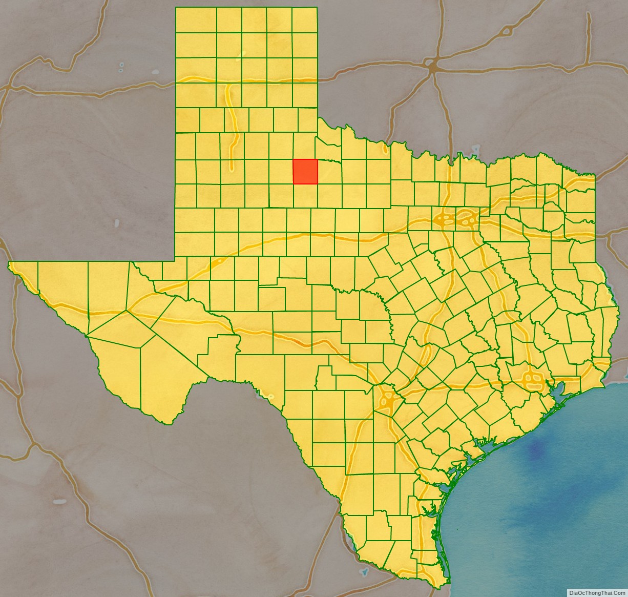
King County location map. Where is King County?
History
Native Americans
The Apache and Comanche were early tribes in the area. The Red River War of 1874-1875 was a United States Army campaign to force the removal of Natives in Texas and their relocation to reservations, to open the region to white settlers.
County established
On August 21, 1876, the Texas legislature formed King County from Bexar County. By 1880 the United States Census counted forty residents in the county. In 1891, the county was organized. Guthrie was designated as the county seat.
Early ranchers preserved water by damming canyons and draws to hold the heavy spring rains. In the 1890s windmills became the method of water preservation. Some of the earliest settlers were Isom Lynn, A. C. Tackett, Brants Baker, and Bud Arnett. The Four Sixes Ranch. was established in 1902 by Samuel Burk Burnet. The formerly-named Pitchfork Land and Cattle Company was organized in 1883, and SMS ranches were established during the same time frame. The 6666 (called Four Sixes Ranch), also founded in 1883, was managed from 1965 to 1986 by George Humphreys, who was also affiliated with the National Ranching Heritage Center in Lubbock.
Dumont was formed in the late 19th century. By that time, farmers began to share the land with ranchers. Cotton was the leading crop for a time, followed by corn, sorghum, and fruit trees.
Oil was discovered in the county in 1943. By January 1, 1991, almost 114,403,000 barrels (18,188,600 m) of oil had been pumped from King County lands since the first wells were drilled.
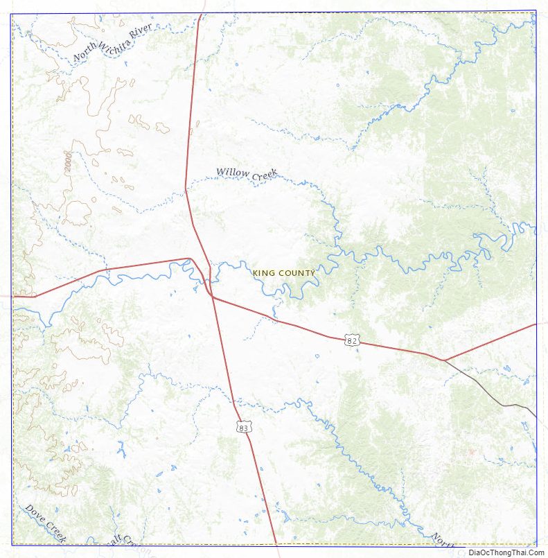
King County Road Map
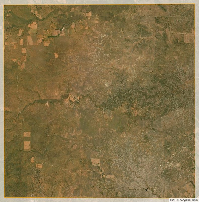
Geography
According to the U.S. Census Bureau, the county has a total area of 913 square miles (2,360 km), of which 911 square miles (2,360 km) is land and 2.5 square miles (6.5 km) (0.3%) is water.
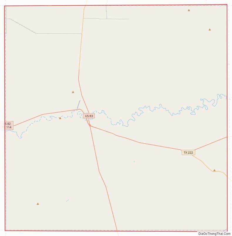
Major highways
- U.S. Highway 82 / State Highway 114
- U.S. Highway 83
- State Highway 222
Adjacent counties
- Cottle County (north)
- Foard County (northeast)
- Knox County (east)
- Stonewall County (south)
- Dickens County (west)
- Haskell County (southeast)
King County Topographic Map
King County Satellite Map
King County Outline Map