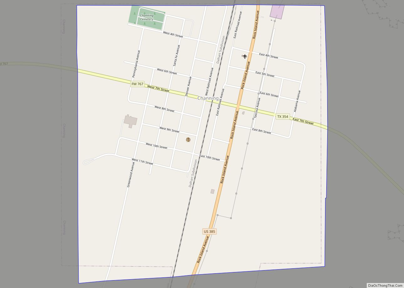
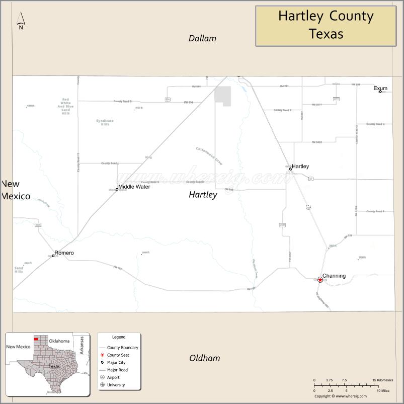
Hartley County is a county located in the U.S. state of Texas. As of the 2020 census, its population was 5,382. The county seat is Channing. The county was created in 1876 and later organized in 1891. It is named for Oliver C. Hartley and his brother, Rufus K. Hartley, two early Texas legislators and lawyers.
| Name: | Hartley County |
|---|---|
| FIPS code: | 48-205 |
| State: | Texas |
| Founded: | 1891 |
| Seat: | Channing |
| Total Area: | 1,463 sq mi (3,790 km²) |
| Land Area: | 1,462 sq mi (3,790 km²) |
| Total Population: | 5,382 |
| Population Density: | 3.7/sq mi (1.4/km²) |
| Time zone: | UTC−6 (Central) |
| Summer Time Zone (DST): | UTC−5 (CDT) |
| Website: | www.co.hartley.tx.us |
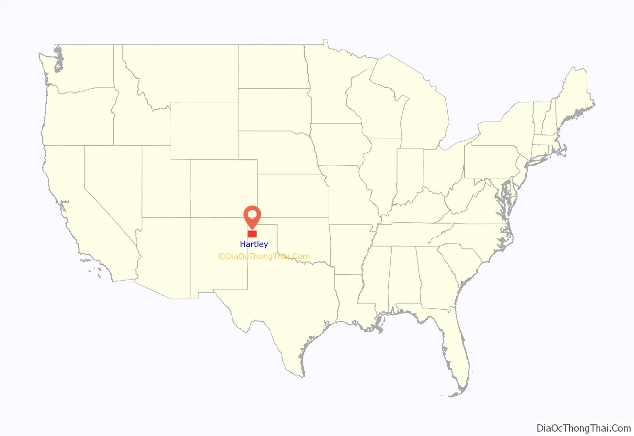
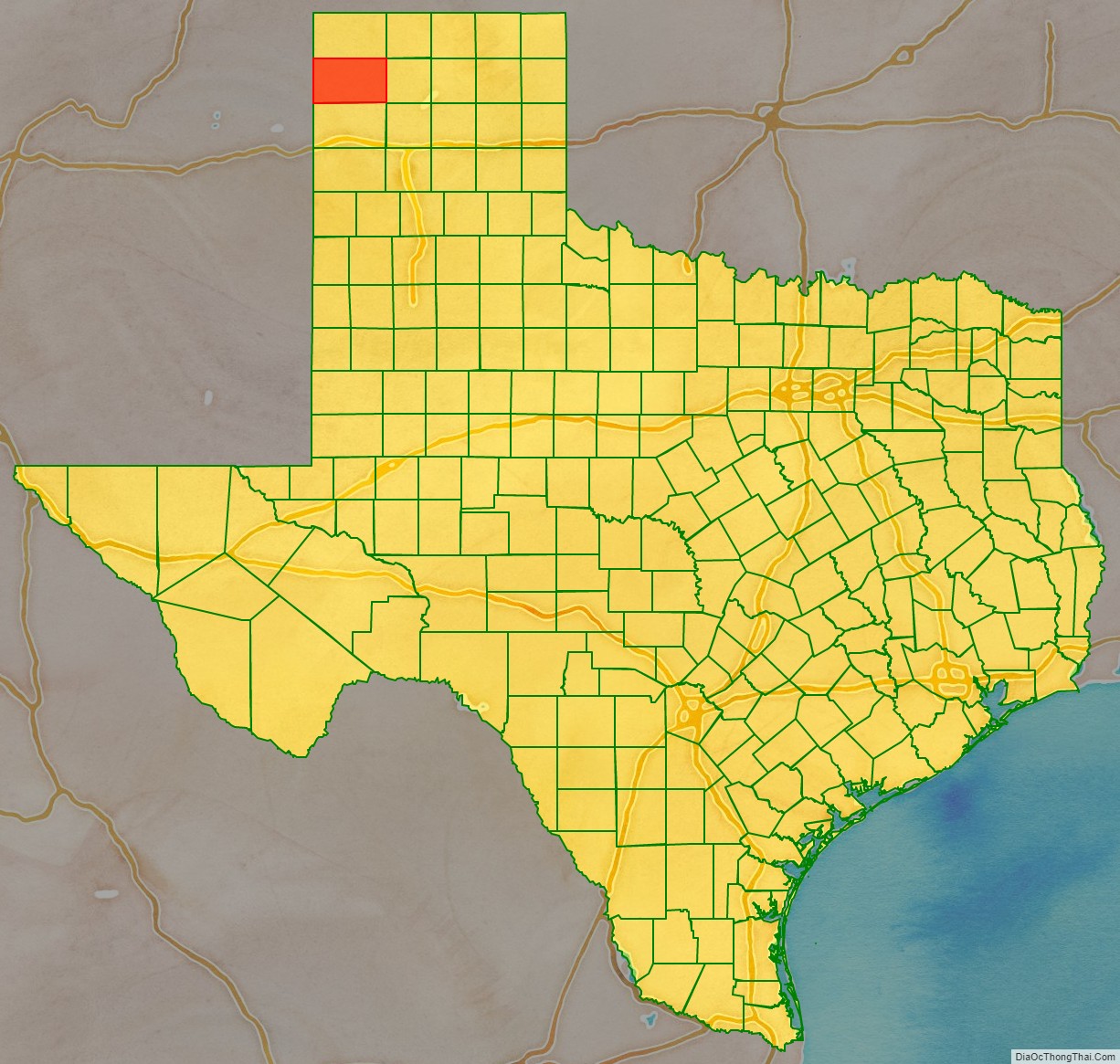
Hartley County location map. Where is Hartley County?
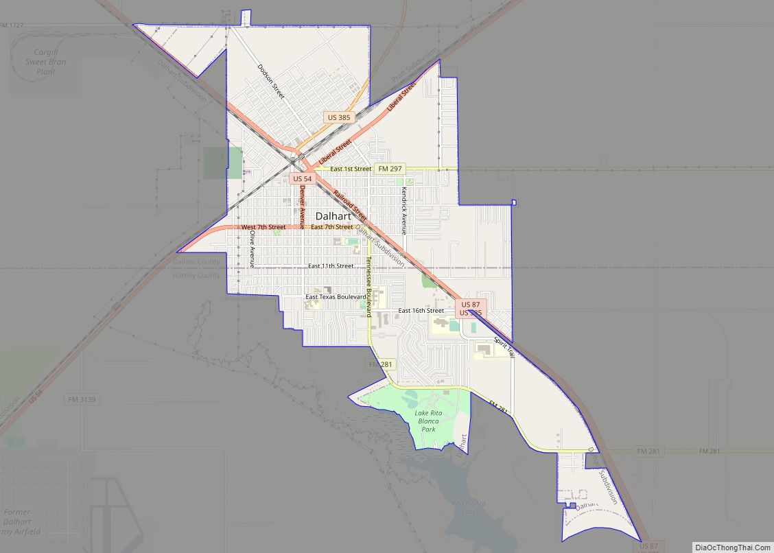
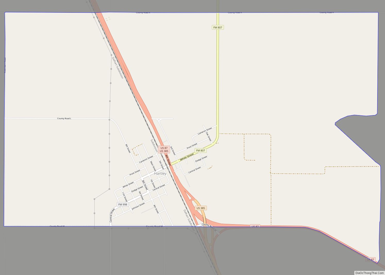
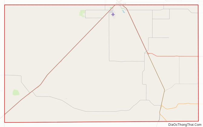
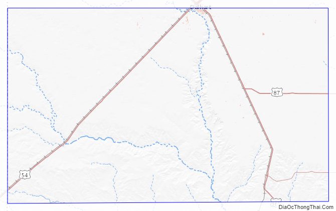
Hartley County Road Map
Geography
According to the U.S. Census Bureau, the county has a total area of 1,463 square miles (3,790 km), of which 1,462 square miles (3,790 km) are land and 1.2 square miles (3.1 km) (0.08%) are covered by water.
Major highways
- U.S. Highway 54
- U.S. Highway 87
- U.S. Highway 385
- State Highway 354
Adjacent counties
- Dallam County (north)
- Moore County (east)
- Oldham County (south)
- Quay County, New Mexico (southwest/Mountain Time Zone)
- Union County, New Mexico (northwest/Mountain Time Zone)
Hartley County Topographic Map
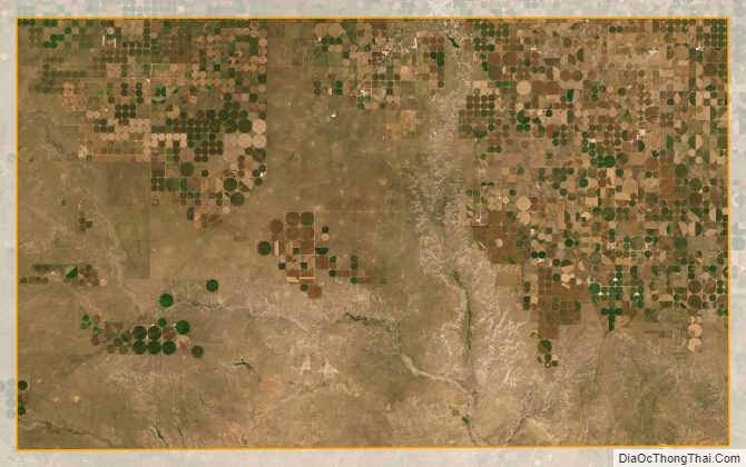
Hartley County Satellite Map
Hartley County Outline Map