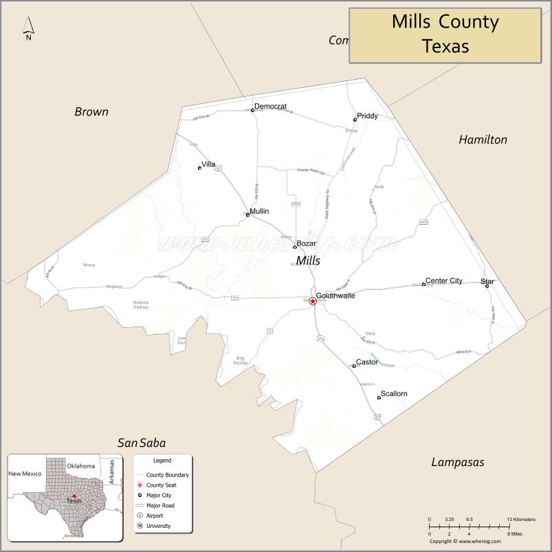
Mills County is a county located in Central Texas. It was created on March 15, 1887, from parts of four existing counties—Brown, Comanche, Hamilton, and Lampasas. The 2020 census reported a population of 4,456. The county seat is Goldthwaite.
| Name: | Mills County |
|---|---|
| FIPS code: | 48-333 |
| State: | Texas |
| Founded: | March 15, 1887 |
| Named for: | John T. Mills |
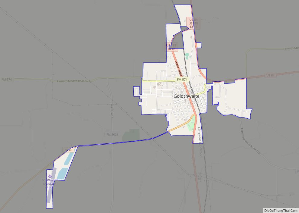
| Seat: | Goldthwaite |
| Largest city: | Goldthwaite |
| Total Area: | 749.8 sq mi (1,942 km²) |
| Land Area: | 748.2 sq mi (1,938 km²) |
| Total Population: | 4,456 |
| Population Density: | 6/sq mi (2/km²) |
| Time zone: | UTC−6 (Central) |
| Summer Time Zone (DST): | UTC−5 (CDT) |
| Website: | www.co.mills.tx.us |
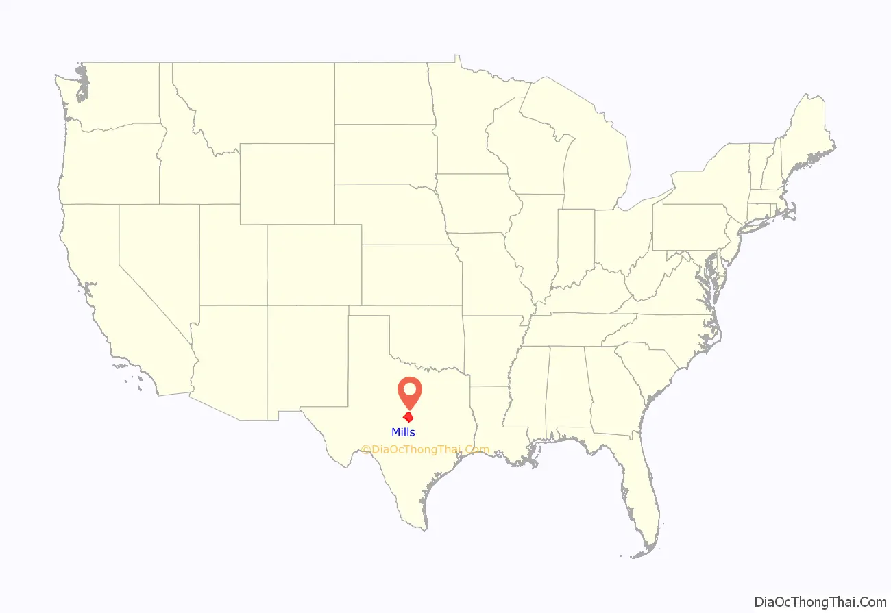
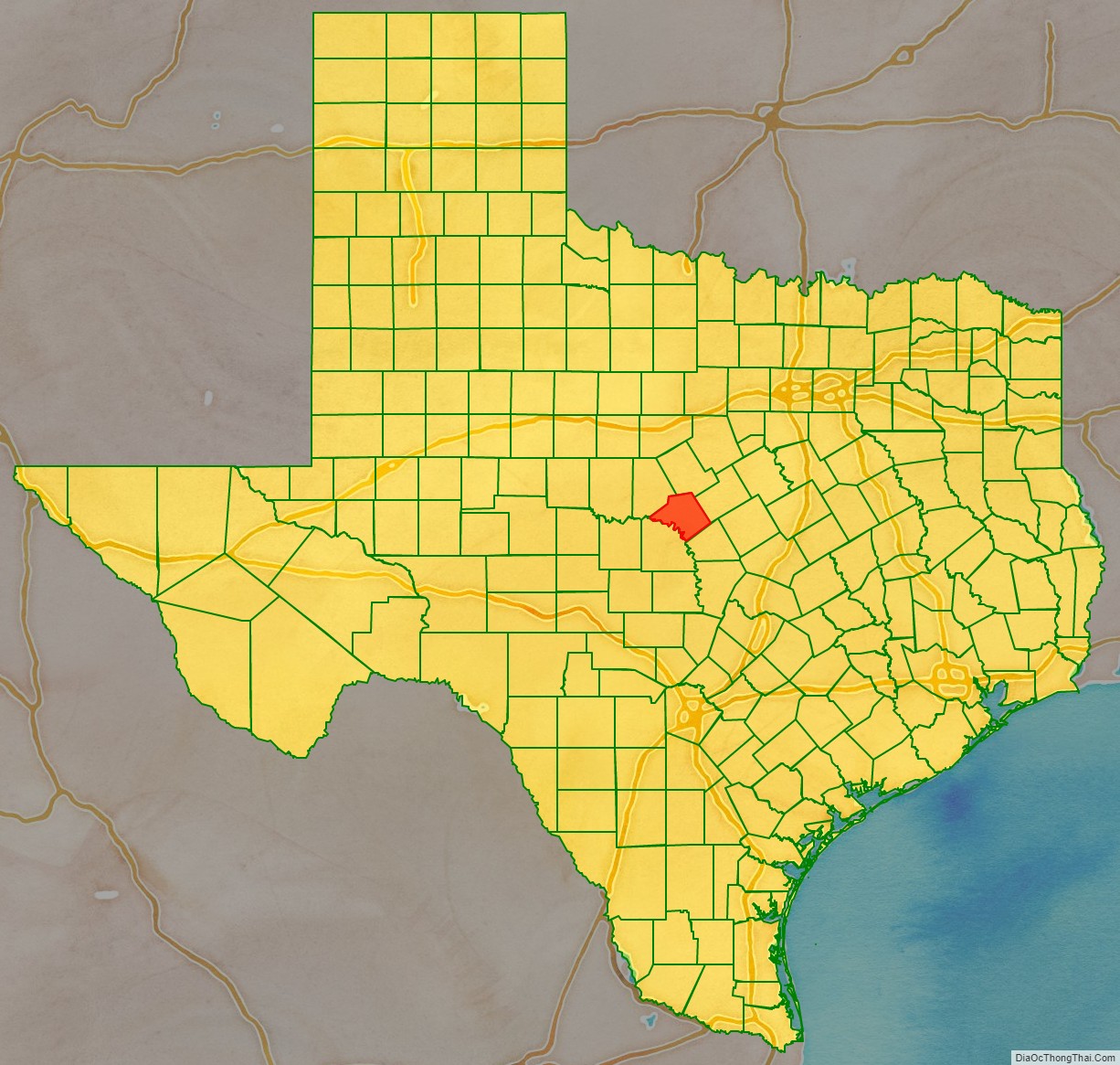
Mills County location map. Where is Mills County?
History
The Clovis are the earliest known people to inhabit the territory before Mills County, though recent discoveries indicate that there were people living in the area as far back as 15,000 to 20,000 years. More recently, the Tonkawa occupied it, and there are numerous vestiges from their campsites that remain across the county, including cooking middens. Thought to be the first white man to explore pre-Mills County, Pedro Vial visited in 1786 and 1789 while traveling between San Antonio and Santa Fe.
The Comanche regularly hunted in pre-Mills County since it was located along the southeastern edge of a large buffalo range. Native tribes moved through the area via what locals called “The Comanche Trail,” which led to southern Texas. Starting in the 1840s, aggressive groups of Comanche and Apache pushed the Tonkawa out and raided the area in an effort to keep control of it as late as 1850, frequently stealing horses and scalping settlers who had started to move there in numbers after 1855. The earliest settlers arrived when there were no fences and land was free.
Eventually the Apaches moved west, leaving the Comanche in control. Earlier, in 1835, the General Council of Texas sent the first Texas Rangers to aid settlers. In 1854, the Texas Legislature appropriated land located on the Texas frontier, built a series of reservations, and moved the natives there starting in 1855, yet there continued to be native incursions into white settlements. By the mid-1870s, native violence began to diminish, yet leading up to the 1880s, Comanche and Kiowa continued to attack the area. Comanches raided Williams Ranch in the late 1870s, the last recorded assault.
The earliest communities in pre-Mills County were Center City and Hanna Valley, both organized in 1854. One source identifies the David Morris, Sr., and Dick Jenkins families as the first pioneers in the area, who settled south of present-day Center City in 1852. Killed by the natives, Dick Jenkins is thought to be the first person buried in what was to become Mills County.
Williams Ranch, established in 1855 in Brown County, was the first community that developed into a large, dynamic town after establishing trade with Mexico and serving as a major center for cattle business, capitalizing on its location near the Western Cattle Trail. The town served as the “headquarters” of the West Texas frontier and was expected to serve as the county seat. A telegraph line passed through Williams Ranch, connecting Austin and Concho (San Angelo), and was thought to be the longest line in the United States.
A federal military facility, Camp Colorado, was established in 1856 near the community of Ebony. Numerous wagon and stage coach trails crisscrossed the area during this time. “Fort Phantom Hill Trail,” a military route that connected Fort Phantom Hill and Austin, passed through the territory.
During the Civil War and following Reconstruction, an unprecedented number of people moved west looking for a better life, attracted by plentiful and inexpensive land. Some of them settled in the area before Mills County formed and helped establish the early communities. Records demonstrate that 1876 marked the largest influx of immigrants into the area.
Most of the early settlers lived according to Christian principles they brought with them that were reinforced by religious leaders in their new communities. That said, gun altercations to settle differences were common, and legal repercussions were usually immaterial.
This isolated part of Texas, popularly referred to as a “no man’s land,” also attracted a variety of criminals, and minimal and often corrupt law enforcement allowed crime to surge. The first law officer was W.W. Queen, who took his position in 1883 before Mills County formed; there are no reliable records documenting the existence of law enforcement officers before then. Other sustained problems roiled the area, including native incursions, conflicts related to the cattle business, community feuds, agrarian discontent, and political unrest. This tumultuous environment was a crucible for violence. Only a few pioneers joined the Confederate Army during the Civil War because they were needed at home to fight their own “war” against the attacks of natives and outlaws.
Originally organized to protect settlers, vigilante “committees” formed with the tacit approval of law officials that degenerated into thieving, vindictive, and murderous groups that terrorized the area, killing an estimated one hundred people—many of them innocent—during their reign in Central Texas. Also known as “The Assembly,” they were veiled in secrecy and bound by a strict code of silence, which heightened settlers’ fear. The earliest one started at Williams Ranch in 1869, called the “Honest Man’s Club,” that was supposed to rid the town of criminals. Soon a feud erupted between it and another group, the “Trigger Mountain Mob,” which was the salvo that launched the mob’s rule. Groups operating in Mills County were sometimes collectively referred to as “The Mills County Mob.” The mob’s control of the area started to subside with the arrival of the railroad in 1887, which helped bring civilized norms. The Texas Rangers were eventually called to the territory in 1890 to quell the mob’s depravities, though its activity continued into the early twentieth century.
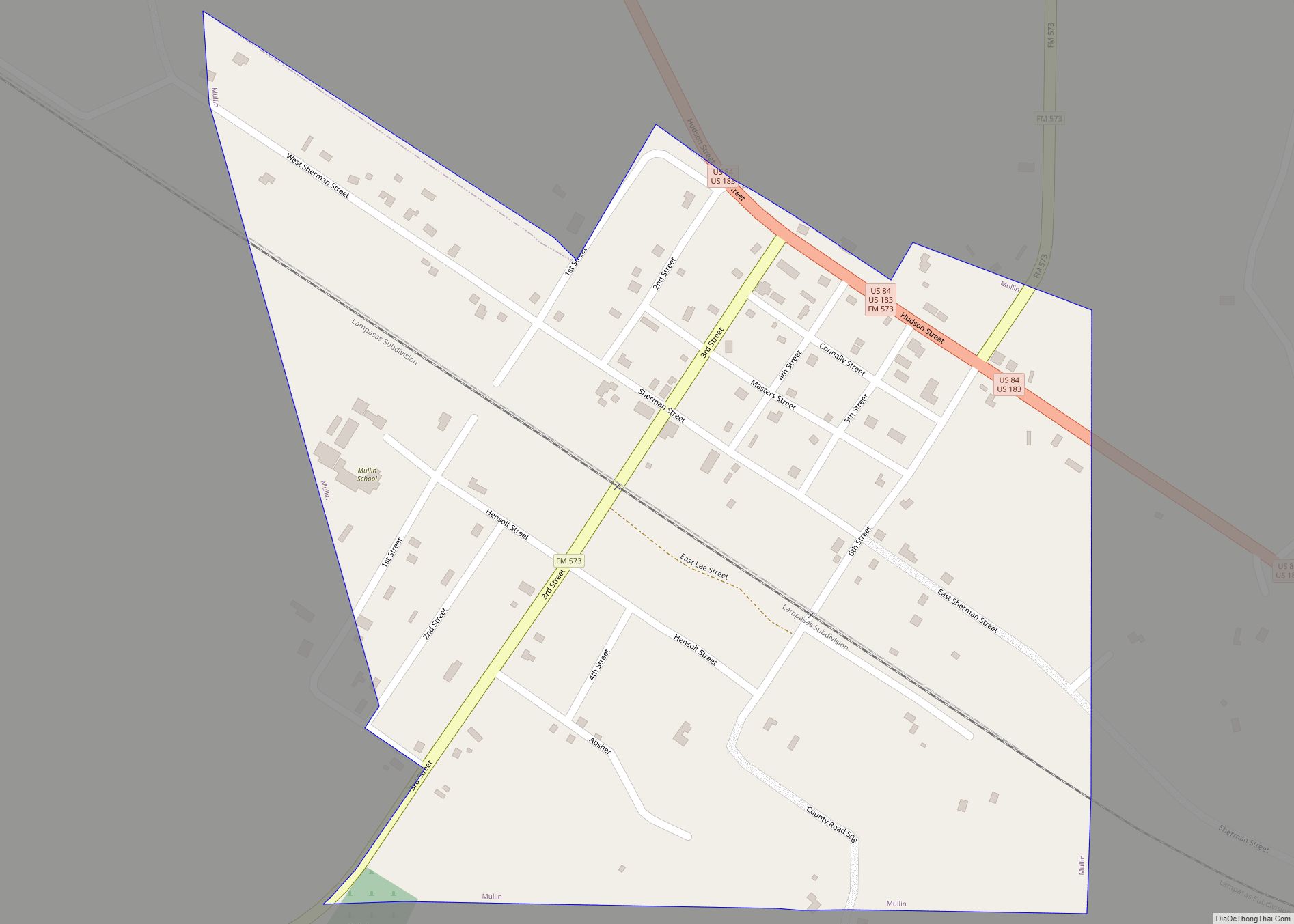
By 1885, the pre-Mills area had reached a population of 6,493 and had become civilized enough to justify forming a new county. At the time, the only significant communities were Center City, Mullin, Star, and Williams Ranch. Even so, both Goldthwaite and Mullin were only tent villages.
Known as “The Father of Mills County,” district representative and Williams Ranch resident Phil H. Clements (1854–1932) lobbied in Austin for a new county in 1887, though planning for the county had started in 1885. There was opposition to creating the new county—Brown County, in particular, fought against it.
In an action of the twentieth Texas Legislature, Governor L.S. “Sul” Ross approved H.S.S.B. No. 85 on March 15, 1887, which carved Mills County out of parts of Brown, Comanche, Hamilton, and Lampasas counties—all of which were created much earlier in the mid-to-late 1850s. It was named after John T. Mills, honoring his service as a Republic of Texas Supreme Court justice. The bill provided directions for conducting an election to determine government leaders and the location of the county seat.
An earlier piece of legislation, House Bill No. 421, would have created a county with a similar boundary as Mills called “Key,” but the bill was defeated on February 21, 1881. An early General Land Office map dated March 10, 1879, references Mills County and names a place in the center of the county, “Winona.”
Most newly elected Mills County officials first met in Goldthwaite on September 12, 1887, recognized as the date the county was organized. A special election held on October 10, 1889, determined Goldthwaite as the county seat, beating Mullin and Pegtown. The first legal actions at the Mills County Clerk’s office was to issue a marriage license and to file a divorce suit, and both transactions were instigated by Black couples.
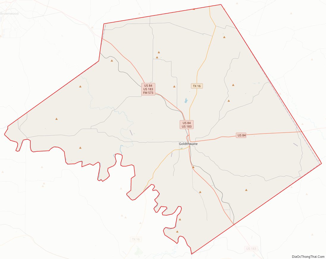
Mills County Road Map
Geography
Located in West Central Texas, Mills County lies between the Limestone Cut Plains and Western Cross Timbers subregions of the Cross Plains ecoregion. According to the U.S. Census Bureau, the county has a total area of 750 square miles (1,900 km), of which 748 square miles (1,940 km) is land and 1.5 square miles (3.9 km) (0.2%) is water. Elevation varies from 1,200 to 1,750 feet.
The Colorado River marks the county’s distinctive southwestern border and creates three fertile farming valleys: Big Valley, Jones Valley, and Hanna Valley. The Pecan Bayou enters the western part of the county from Brown County then flows east and south towards the Colorado River; Blanket and Brown creeks unite into the Pecan Bayou along the way. From west to east, the following streams drain into the Colorado River: Comanche Creek, Buffalo Creek, Rough Creek, King Creek, Pecan Bayou, Prescott Creek, Bull Creek, Nabors Creek, and Shaw Creek. North and South Bennett Creeks and Simms Creek, all in th eastern part of the county, drain into the Lampasas River. The northern parts of the county have Mountain Creek, Cowhouse Creek, and Washboard Creek that eventually drain into the Brazos River.
The Cowhouse Mountains, which are part of an extensive range of hills located in the Lampasas Cut Plain, cross the county from the southeast to the northwest. One part of the Cowhouse range enters the county north of Star and leaves the county north of Priddy; another part of Cowhouse enters the county near Moline before taking a northwesterly exit into Comanche County. San Saba Peak, at a height of 1,712 feet, is a prominent mountain in the county and was named in 1732 by Don Juan Antonio Bustillo y Cevallos, Spanish Governor of Texas.
Central Texas, which includes Mills County, contains some of the oldest rocks in the state.
The county has a variety of soils, including gray loams, sandy dark and stone clay, and alluvia in the bottom lands, and black wax on the prairies. Very shallow to deep, loamy, and clayey soils and their sub-varieties make up the bulk of the county. Plentiful limestone, sand, and gravel are used for road construction.
Native timbers include live oak (entire county), post oak (entire county), Spanish oak (Grand Prairie Region), eastern cottonwood (along streams), shinnery oak (Cowhouse Mountains Region), mesquite (concentrated in western county), pecan (along streams), and cedar. Cactus varieties typically grow in the Cross Timbers Region. Dominant trees and shrubs include ashe juniper (Juniperus ashei J. Bucholz), escarpment live oak (Quercus fusiformis Small), and the deciduous shrub, honey mesquite (Prosopis glandulosa Torr). A member of the Cypress family, ashe juniper is one of six species of the Juniperus genus that grow in Texas, but it is the only one that grows in the Hill Country, including Mills County, where it is concentrated in the southern region. It is the most plentiful native tree growing in the county and has existed in the area for thousands of years. Both Ashe juniper and honey mesquite are considered to be invasive trees in the area.
The county flower is the Texas Plume Standing Cypress.
Adjacent counties
- Brown County (northwest)
- Comanche County (north)
- Hamilton County (northeast)
- Lampasas County (southeast)
- San Saba County (southwest)
Mills County Topographic Map
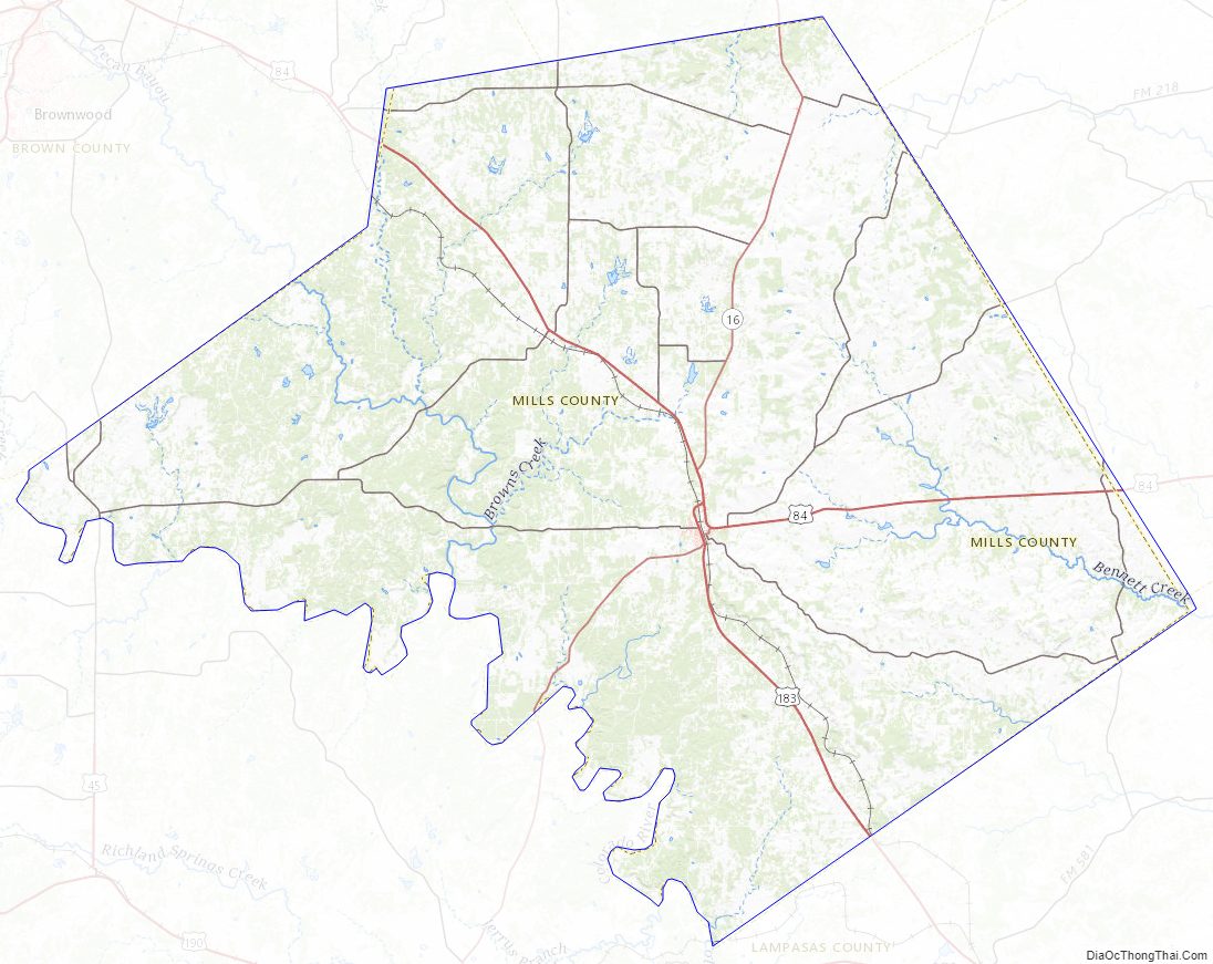
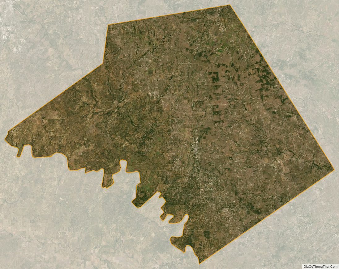
Mills County Satellite Map
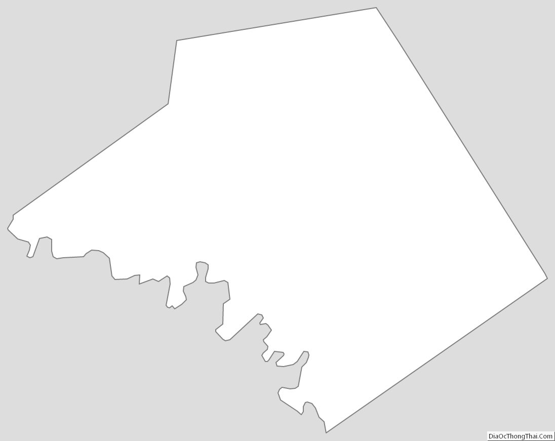
Mills County Outline Map