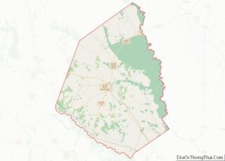
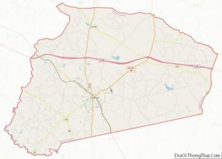
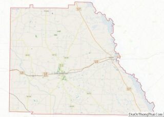
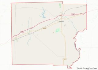
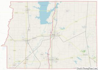
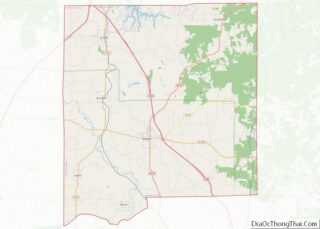
Map of Wood County

Map of Wood County, West Virginia

Wood County overview: Name: Wood County FIPS code: 54-107 State: West Virginia Founded: December 21, 1798 Named for: James Wood Seat: Parkersburg Largest city: Parkersburg Total Area: 377 sq mi (980 km²) Land Area: 367 sq mi (950 km²) Total Population: 84,296 Population Density: 220/sq mi (86/km²) Wood County location map. Where is Wood County? History Wood County was formed on December … Read more

Map of Door County

Map of Door County, Wisconsin

Door County is the easternmost county in the U.S. state of Wisconsin. As of the 2020 census, the population was 30,066. Its county seat is Sturgeon Bay. It is named after the strait between the Door Peninsula and Washington Island. The dangerous passage, known as Death’s Door, contains shipwrecks and was known to Native Americans … Read more

Map of Kewaunee County

Map of Kewaunee County, Wisconsin

Kewaunee County is a county located in the U.S. state of Wisconsin. As of the 2020 census, the population was 20,563. Its county seat is Kewaunee. The county was created in 1852 and organized in 1859. Its Menominee name is Kewāneh, an archaic name for a species of duck. Kewaunee County is part of the … Read more

Map of Outagamie County

Map of Outagamie County, Wisconsin

Outagamie County (/ˌaʊtəˈɡeɪmɪ/) is a county in the Fox Cities region of the U.S. state of Wisconsin, located in the northeast of the state. As of the 2020 Census, the population was 190,705. Its county seat is Appleton. Outagamie County is included in the Appleton, WI Metropolitan Statistical Area, which is also included in the … Read more

Map of Taylor County

Map of Taylor County, Wisconsin

Taylor County is a county in the U.S. state of Wisconsin. As of the 2020 census, the population was 19,913. Its county seat is Medford. Taylor County overview: Name: Taylor County FIPS code: 55-119 State: Wisconsin Founded: 1875 Seat: Medford Largest city: Medford Total Area: 984 sq mi (2,550 km²) Land Area: 975 sq mi (2,530 km²) Total Population: 19,913 Population … Read more

Map of Converse County

Map of Converse County, Wyoming

Converse County overview: Name: Converse County FIPS code: 56-009 State: Wyoming Founded: March 9, 1888 Named for: A.R. Converse Seat: Douglas Largest city: Douglas Total Area: 4,265 sq mi (11,050 km²) Land Area: 4,255 sq mi (11,020 km²) Total Population: 13,751 Population Density: 3.2/sq mi (1.2/km²) Converse County location map. Where is Converse County? History Converse County was created in 1888 by … Read more

Map of Uinta County

Map of Uinta County, Wyoming

Uinta County (/juːˈɪntə/ yoo-IN-tə) is a county in the U.S. state of Wyoming. As of the 2020 United States Census, the population was 20,450. Its county seat is Evanston. Its south and west boundary lines abut the Utah state line. Uinta County comprises the Evanston, WY Micropolitan Statistical Area. Uinta County overview: Name: Uinta County … Read more

Map of Cherokee County

Map of Cherokee County, Alabama

Cherokee County, Alabama is a county located in the northeastern part of the U.S. state of Alabama. As of the 2020 census, the population was 24,971. Its county seat is Centre. The county is named for the Cherokee tribe. Cherokee County overview: Name: Cherokee County FIPS code: 01-019 State: Alabama Founded: January 9, 1836 Named … Read more

Map of Elmore County

Map of Elmore County, Alabama

Elmore County is a county located in the east central portion of the U.S. state of Alabama. As of the 2020 census, the population was 87,977. Its county seat is Wetumpka. Its name is in honor of General John A. Elmore. Elmore County is part of the Montgomery, AL Metropolitan Statistical Area. Elmore County overview: … Read more

Map of Limestone County

Map of Limestone County, Alabama

Limestone County is a county of the U.S. state of Alabama. As of the 2020 census, the county’s population was 103,570. Its county seat is Athens. The county is named after Limestone Creek. Limestone County is included in the Huntsville, AL Metropolitan Statistical Area. Limestone County overview: Name: Limestone County FIPS code: 01-083 State: Alabama … Read more

Map of Saint Clair County

Map of St. Clair County, Alabama

St. Clair County is a county located in the central portion of the U.S. state of Alabama. As of the 2020 census, the population was 91,103. It has two county seats: Ashville and Pell City. It is one of two counties in Alabama, and one of 33 in the United States, with more than one … Read more

Map of Dillingham Census Area

Map of Dillingham Census Area, Alaska

Dillingham Census Area is a census area located in the state of Alaska, United States. At the 2020 census, the population was 4,857, slightly up from 4,847 in 2010. It is part of the unorganized borough and therefore has no borough seat. Its largest community by far is the city of Dillingham, on a small … Read more