| Name: | Sutton County |
|---|---|
| FIPS code: | 48-435 |
| State: | Texas |
| Founded: | 1890 |
| Named for: | John S. Sutton |
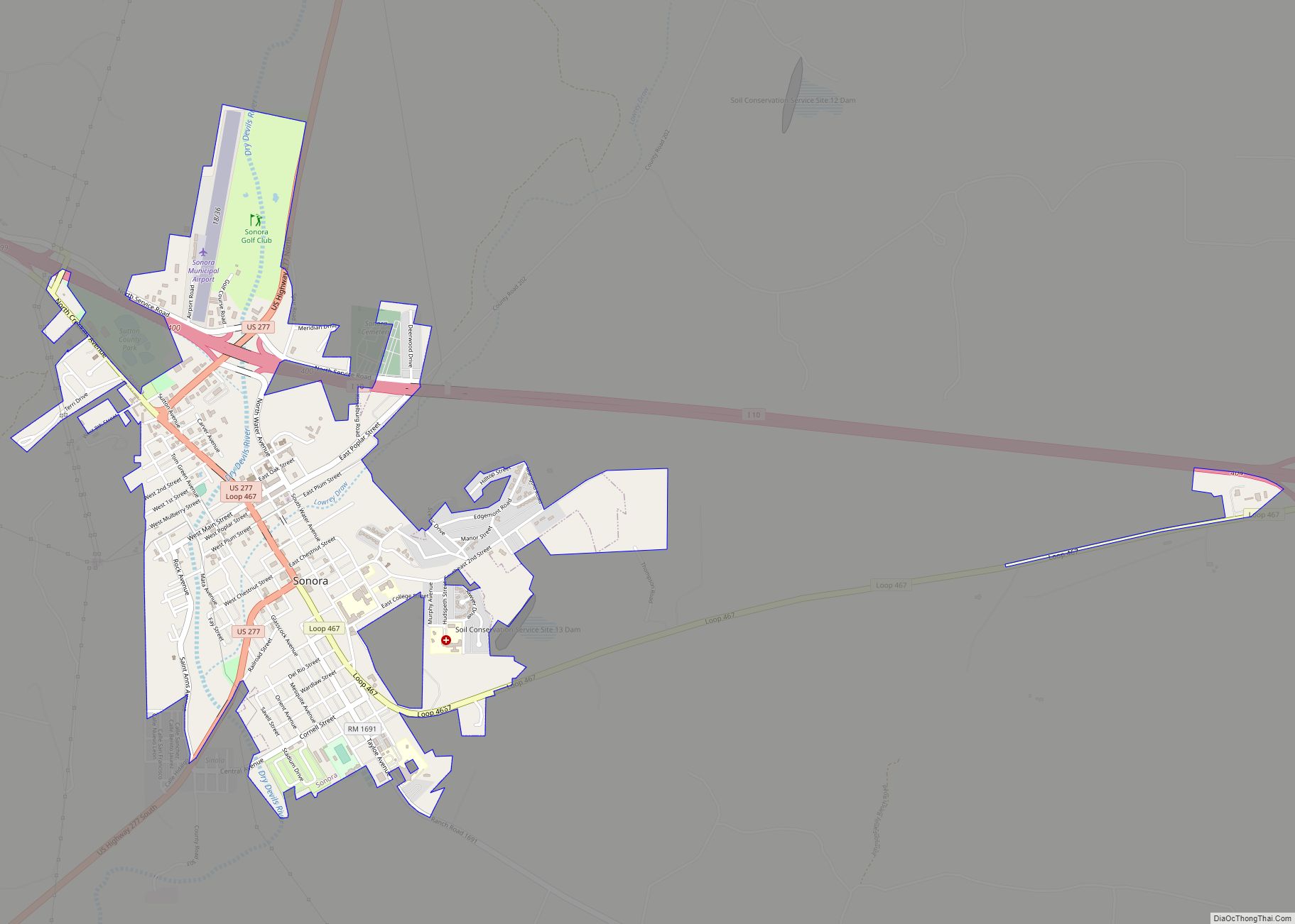
| Seat: | Sonora |
| Largest city: | Sonora |
| Total Area: | 1,454 sq mi (3,770 km²) |
| Land Area: | 1,454 sq mi (3,770 km²) |
| Total Population: | 3,372 |
| Population Density: | 2.3/sq mi (0.90/km²) |
| Time zone: | UTC−6 (Central) |
| Summer Time Zone (DST): | UTC−5 (CDT) |
| Website: | www.co.sutton.tx.us |
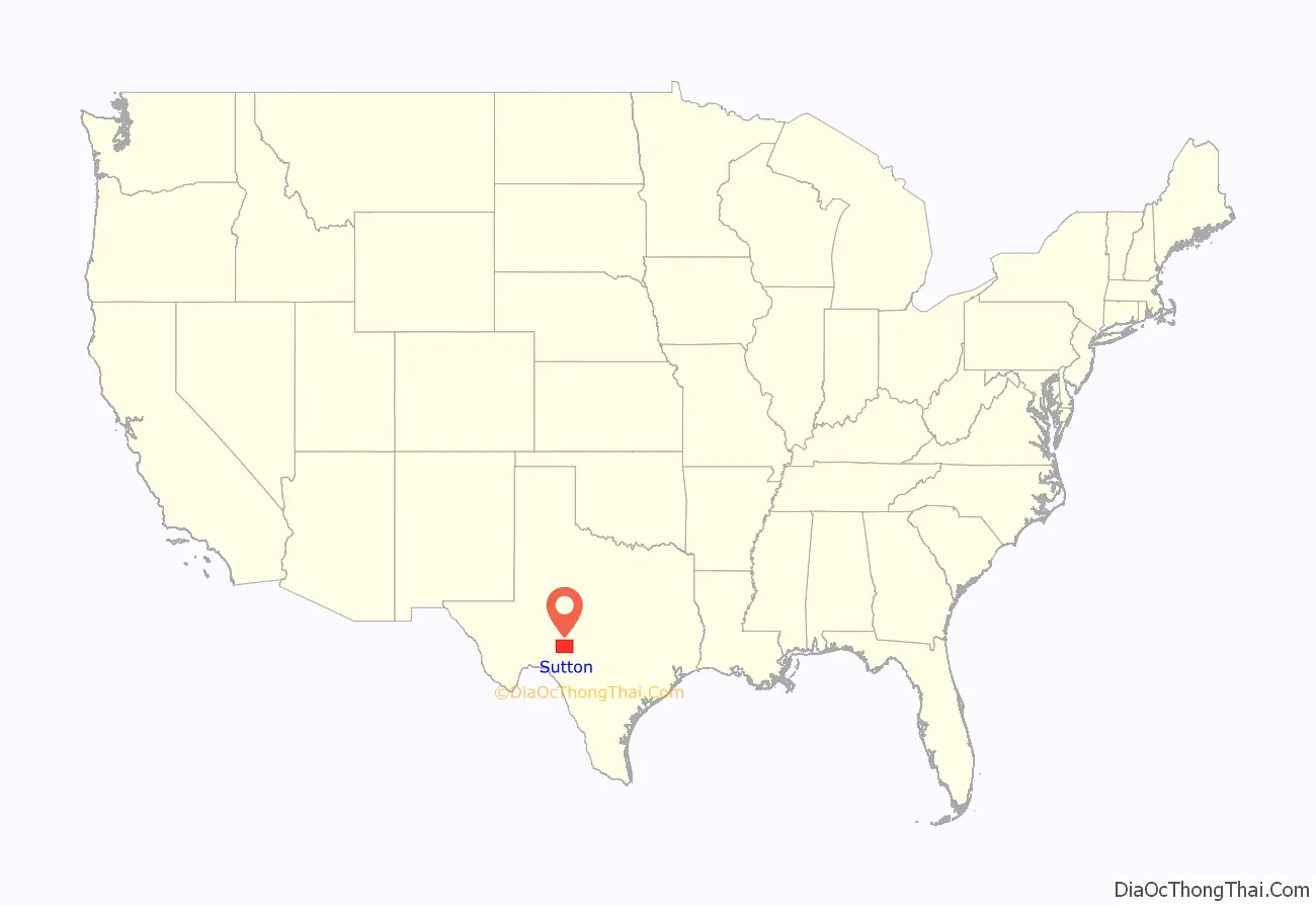
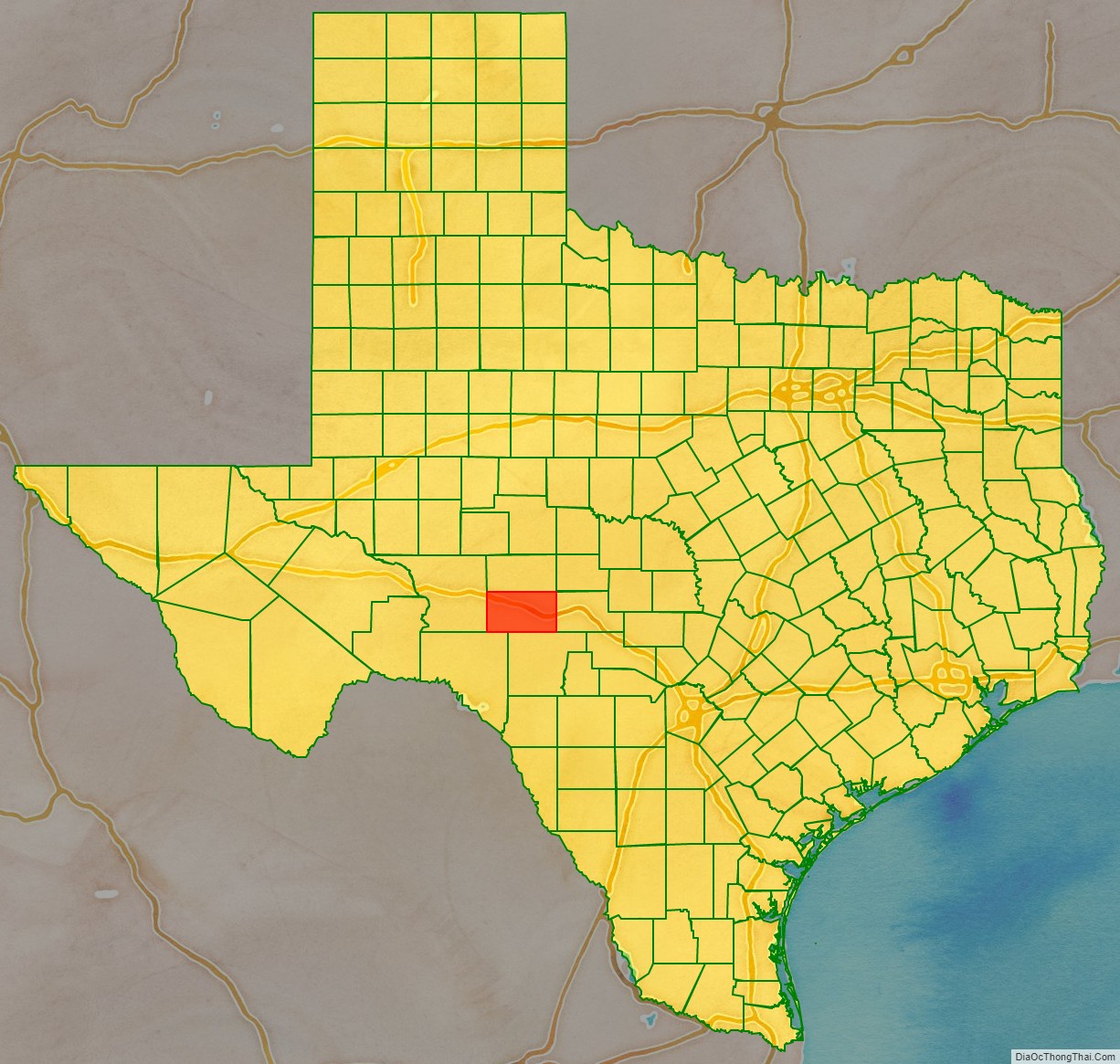
Sutton County location map. Where is Sutton County?
History
- 9500 BC – c. 1860s AD Paleo-Indians in the county leave behind archaeological remains of a burned-rock midden with mortar and pestle, as well as other tools. Later native inhabitants include Tonkawa, Comanche and Lipan Apache.
- 1736 Lt. Miguel de la Garza Falcón leads 100 soldiers along the Devils River
- 1852, February 2 – Camp Terrett, later known as Fort Terrett, established to protect settlers from Comanches. Founded by Lt. Col. Henry Bainbridge and named for Lt. John Terrett, who was killed in the Battle of Monterrey in 1846.
- 1881 Wall’s Well discovered by Tim Birtrong and Ed Wall. Town of Wentworth discovered. Birtrong Ranch is the area’s only ranch.
- 1885 Charles G. Adams, a merchant and sometime rancher from Fort McKavett, founds Sonora, Texas, named after a family servant from Sonora, Mexico.
- 1887 The Texas legislature establishes Sutton County, carved out of eastern Crockett County named for Confederate officer John Schuyler Sutton.
- 1890 Sonora becomes the county seat.
- 1915 Texas Sheep & Goat Raisers’ Association organized.
- 1928 The Atchison, Topeka and Santa Fe Railway acquires Kansas City, Mexico and Orient Railway to connect Sonora with San Angelo, Del Rio, and the outside world by rail.
- 1930 Sonora Wool and Mohair Company established.
- 1936 WPA projects help local economy.
- 1958, August 1 – Sonora Municipal Airport activated.
- 1960, July 16 – Caverns of Sonora open to the public.
- 1965 Caverns of Sonora designated National Natural Landmark.
- 1975 Fort Terrett Ranch is purchased by the Texas oil industrialist Bill Noël and used in part for the growing of pecans.
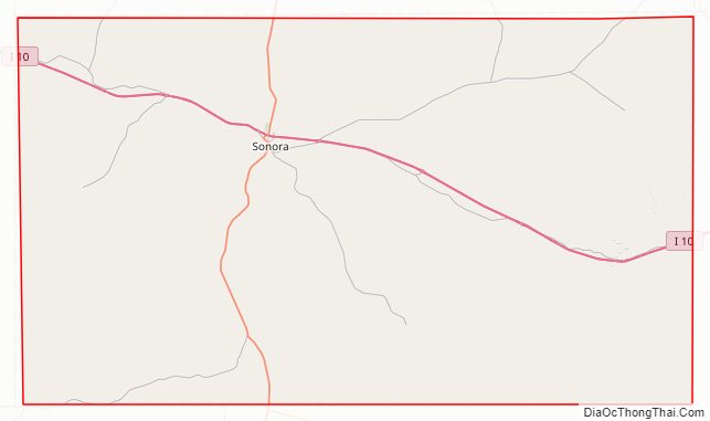
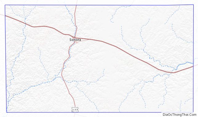
Sutton County Road Map
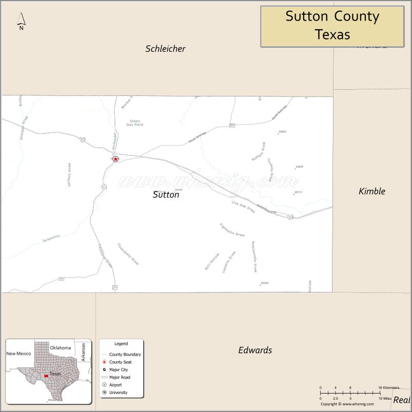
Geography
According to the U.S. Census Bureau, the county has a total area of 1,454 square miles (3,770 km), of which 1,454 square miles (3,770 km) is land and 0.5 square miles (1.3 km) (0.03%) is water.
Major highways
- Interstate 10
- U.S. Highway 277
Adjacent counties
- Schleicher County (north)
- Kimble County (east)
- Edwards County (south)
- Val Verde County (southwest)
- Crockett County (west)
- Menard County (northeast)
Sutton County Topographic Map
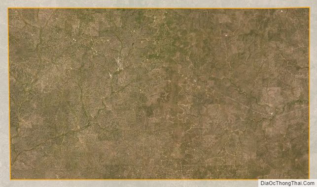
Sutton County Satellite Map
Sutton County Outline Map